Chioggia tide times
Chioggia tide forecast — heights relative to MSL.
Today's tide times for Chioggia
Tide times at Chioggia on Friday, 19 June 2026: first high tide at 02:00, first low tide at 07:12, second high tide at 14:40, second low tide at 20:50. Sunrise 05:22, sunset 21:01.
Tide chart for Chioggia
24-hour cosine-interpolated curve around the present moment. Heights relative to MSL. Predictions: Predictions: Open-Meteo Marine (MeteoFrance SMOC, 0.08° grid).
Sun, moon and conditions on Fri 19 Jun
Snapshot at build time — refreshes daily. Sea state from Open-Meteo Marine.
Highs and lows next 7 days
Every predicted high and low for the next week, with the daily tidal coefficient (0–120; higher = bigger swing, > 95 means stronger currents).
Other spots nearby
The three closest curated TideTurtle locations to Chioggia, measured by great-circle distance.

Today's solunar windows
Solunar tradition: major periods are the ≈3h windows around moon transit and opposition; minor are ≈2h around moonrise and moonset. Pair with the local tide stage and wind for the best read.
About tides at Chioggia
A short guide to the coastline at Chioggia — geography, sea state, and what the tide is actually doing under your feet.
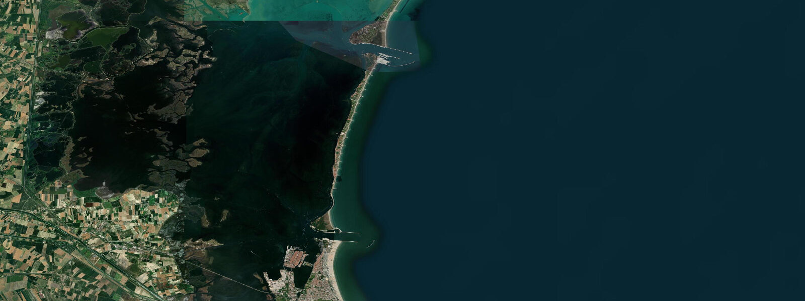
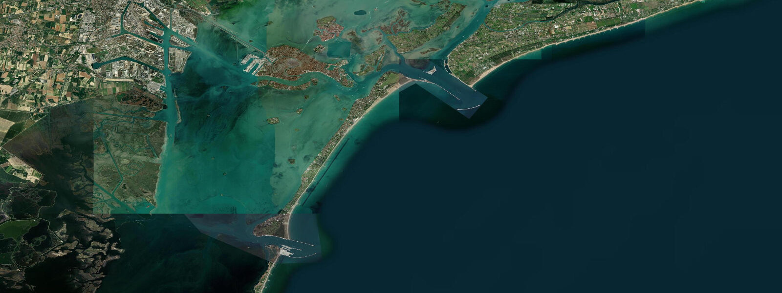
Chioggia sits at the southern entrance to the Venice Lagoon, 25 kilometres south of Venice, connected to the mainland by a causeway and to the open Adriatic by a navigable inlet. Where Venice is a tourist spectacle, Chioggia is a working fishing town — the largest fishing port in the northern Adriatic. Tidal pattern in the Venice Lagoon system is semidiurnal with a mean range of 0.4 to 0.8 metres; the Adriatic coastal tides are heavily influenced by seiches (resonance oscillations) and wind setup (acqua alta) rather than pure astronomical tides.
The lagoon ecosystem between Chioggia and Venice is the most intensively studied tidal ecosystem in Europe. The MOSE (Modulo Sperimentale Elettromeccanico) flood barrier system, completed in 2020, protects both Venice and Chioggia from acqua alta events by closing three inlets including the Chioggia inlet. When MOSE activates, the lagoon is effectively isolated from the Adriatic, and water levels inside are decoupled from the external tide for the duration of the closure (typically 4 to 6 hours).
Fishing is the economic and cultural backbone of Chioggia. The Sottomarina beach (directly across the inlet from the old town) is a long sandy Adriatic beach more developed for tourism, but the old town canals and the fish market at the Campo San Giacomo tell the real story. The Mercato Ittico (fish market) runs Tuesday through Saturday mornings — fresh Adriatic seafood: cuttlefish, spider crab, sea bass, bream, and the lagoon crab (moeche and masanete, seasonal soft-shell crabs).
Kayaking from Chioggia into the southern Venice Lagoon is a genuine wilderness experience — vast expanses of tidal flat, salt marsh, and fish farms, with the occasional sailing barge and cormorant roost. The lagoon flat sections are navigable only at mid to high tide; at low water the marked channels must be followed to avoid grounding. The tidal channels between the islands can carry 1 to 2 knots of current on spring tides.
The valli da pesca (traditional lagoon fish farms) east of Chioggia have managed the lagoon's fish populations for centuries. The pollaio (fish-holding pen) system uses tidal flow to trap and hold fish; the management is remarkably low-impact and the traditional knowledge is UNESCO-recognised.
Predictions on this page come from Open-Meteo Marine, a gridded global ocean model, cross-referenced with regional Adriatic data. For the most accurate Venice Lagoon tide predictions, consult the Centro Previsioni e Segnalazioni Maree at comune.venezia.it/maree.
Tide questions about Chioggia
Quick answers to the most common questions about tide times, range, and water access at Chioggia.
What are the tides like in the Venice Lagoon near Chioggia?
The Venice Lagoon has semidiurnal tides with a mean range of 0.4 to 0.8 metres. The Adriatic is a closed basin prone to seiches — resonance oscillations that can add 0.3 to 0.5 metres to predicted levels. Acqua alta (high water flooding) at Venice and Chioggia is caused by the combination of astronomical tide, Adriatic seiche, and sirocco wind piling water northward. The MOSE barrier system now closes the three lagoon inlets to prevent the most severe acqua alta events.
What is the fish market at Chioggia?
The Mercato Ittico at Campo San Giacomo runs Tuesday through Saturday from around 6 a.m. Chioggia is the largest fishing port in the northern Adriatic; the market sells direct catch including cuttlefish, spider crab (granceola), sea bass, dorade, Adriatic sardines, and the seasonal specialty — moeche (soft-shell green crab) harvested in spring and autumn from the lagoon. Arrive before 8 a.m. for the best variety. Chioggia's restaurants serve lagoon and Adriatic seafood at substantially lower prices than Venice.
Is Chioggia worth visiting instead of Venice?
Chioggia makes a good complement to Venice, not a substitute. The two towns are 25 km apart; a day trip combining the Chioggia fish market morning, a lagoon kayak trip, and a seafood lunch before catching the afternoon vaporetto to Venice gives a more complete picture of the lagoon ecosystem than Venice alone. Chioggia is reachable from Venice by water bus (about 90 minutes) or by road. Accommodation is cheaper and the food is genuinely local.
Can I kayak in the Venice Lagoon from Chioggia?
Yes — the southern lagoon from Chioggia is one of the better sea kayaking environments in northern Italy. The flat water and tidal channels through the salt marsh and fish farm zones are ideal for a full-day paddle. At low water, the marked channels must be followed (the flats dry or become too shallow for kayaks). Current in the channels reaches 1 to 2 knots on spring tides. Kayak rental and guided tours are available from Sottomarina; the lagoon route toward the Pellestrina barrier island is the standard day trip.
What are moeche and why are they seasonal?
Moeche are soft-shell crabs — specifically the green shore crab (Carcinus aestuarii) at the moment of moulting, before the new shell hardens. The moult happens twice a year (spring and autumn), and Chioggia lagoon fishermen have developed a centuries-old technique of identifying pre-moult crabs and separating them into tanks; they moult in the tank within 24 hours and are harvested while soft. The window is only a few days per season; moeche are a Venetian delicacy available in October and April. They're fried whole — shell, legs, and all.
8-day tide table — Chioggia
Heights relative to MSL. Predictions: Open-Meteo Marine (MeteoFrance SMOC, 0.08° grid) — heights relative to MSL (not chart datum / LAT). Model-derived.
| Day | Type | Time | Height |
|---|---|---|---|
| Fri 19 Jun | High | 02:00 | -0.4m |
| Low | 07:12 | -1.0m | |
| High | 14:40 | -0.2m | |
| Low | 20:50 | -0.6m | |
| Sat 20 Jun | High | 00:50 | -0.4m |
| Low | 07:50 | -1.0m | |
| High | 15:20 | -0.2m | |
| Low | 22:10 | -0.6m | |
| Sun 21 Jun | High | 16:06 | -0.2m |
| Mon 22 Jun | Low | 08:54 | -0.8m |
| High | 16:45 | -0.2m | |
| Tue 23 Jun | — | ||
| Wed 24 Jun | — | ||
| Thu 25 Jun | Low | 02:18 | -0.8m |
| High | 19:06 | -0.1m | |
| Fri 26 Jun | Low | 01:00 | -0.8m |