
Caorle tide times
Caorle tide forecast — heights relative to MSL.
Today's tide times for Caorle
Tide times at Caorle on Friday, 19 June 2026: first high tide at 02:00, first low tide at 07:00. Sunrise 05:18, sunset 21:00.
Tide chart for Caorle
24-hour cosine-interpolated curve around the present moment. Heights relative to MSL. Predictions: Predictions: Open-Meteo Marine (MeteoFrance SMOC, 0.08° grid).
Sun, moon and conditions on Fri 19 Jun
Snapshot at build time — refreshes daily. Sea state from Open-Meteo Marine.
Highs and lows next 7 days
Every predicted high and low for the next week, with the daily tidal coefficient (0–120; higher = bigger swing, > 95 means stronger currents).
Other spots nearby
The three closest curated TideTurtle locations to Caorle, measured by great-circle distance.
Today's solunar windows
Solunar tradition: major periods are the ≈3h windows around moon transit and opposition; minor are ≈2h around moonrise and moonset. Pair with the local tide stage and wind for the best read.
Cycle dates near Caorle
Next spring tide on Thu 25 Jun (range 0.7m). Next neap on Tue 23 Jun.
Spring tides cluster around new and full moons (biggest swings). Neap tides land on quarter moons (smallest swings). See the spring tide and neap tide glossary entries for the why.
About tides at Caorle
A short guide to the coastline at Caorle — geography, sea state, and what the tide is actually doing under your feet.
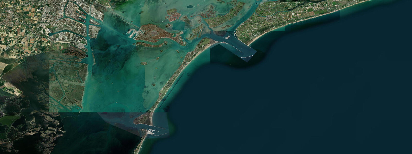
Caorle is on the Adriatic coast northeast of Venice, a medieval fishing town with an 11th-century cylindrical bell tower, surrounded by modern beach resort development that has grown up around it without entirely erasing the original character. The old town occupies a small island in the Lemene River estuary; the modern resort beaches (Levante and Ponente) extend in both directions. Tidal range is 0.3 to 0.7 metres — typical of the northern Adriatic's semi-enclosed basin dynamics.
The acqua alta risk in Caorle is real but less catastrophic than Venice — the town is slightly elevated above the lagoon fringe. Storm surge from the sirocco wind (pushing water northward up the Adriatic) is the main threat to the lower areas of the old town. The pattern is the same as Venice: astronomical high tide plus sirocco plus seiche wave can put the Campo Santo Stefano under 30 to 60 cm of water a few times per decade.
The beaches at Caorle are the economic engine — long flat Adriatic sandy beaches with shallow entry, warm water (24 to 27°C in July and August), and the characteristic beach club (stabilimento balneare) system where visitors rent beach chairs and umbrellas from privately managed concessions. The free public beaches (spiagge libere) are smaller sections interspersed between the concessions. Water entry is gentle and flat throughout the tidal cycle; the small tidal range produces only minor changes in the beach width.
Fishing from Caorle targets sea bass (branzino), gilt-head bream (orata), and the seasonal Adriatic fish runs. The local fleet works inshore reefs and the Adriatic sandy bottom with beam trawls; squid jigging (calamaro) is productive in autumn evenings from the piers. The morning fish market in the old town sells the catch directly.
For a quieter beach alternative, the Laguna di Caorle behind the town (accessible by the canal that runs north from the river) has salt marsh and tidal flat kayaking. The shallow lagoon is managed for eel and grey mullet farming in the traditional valli system. An early morning paddle when the lagoon mist is still lifting is one of the better Venetian lagoon-fringe experiences within a short drive of Caorle.
Predictions on this page come from Open-Meteo Marine, a gridded global ocean model, cross-referenced with regional Adriatic data. For the most accurate northern Adriatic tide predictions, consult the Istituto Superiore per la Protezione e la Ricerca Ambientale at isprambiente.gov.it.
Tide questions about Caorle
Quick answers to the most common questions about tide times, range, and water access at Caorle.
What is the tidal range at Caorle?
Northern Adriatic tidal range at Caorle is 0.3 to 0.7 metres — small but variable depending on the Adriatic seiche state and wind. The acqua alta (high water flooding) risk is lower than at Venice but real for the lowest sections of the old town during sirocco storms combined with spring tide peaks. The beach zone is barely affected by tidal change; the difference in beach width between low and high water is under 5 metres.
What is the beach culture at Caorle?
Caorle's beaches operate on the Italian stabilimento balneare (beach club) system — most of the beach is divided into privately managed concessions that rent sun chairs and umbrellas by the day or week. This gives organised, well-serviced beach access but limits free public beach space. Spiagge libere (free public beaches) are interspersed between concessions and available without charge. The beach clubs provide bars, showers, changing rooms, and volleyball courts — a full day's beach experience at a flat daily rate.
Is the old town of Caorle historic?
Yes — Caorle's old town retains its medieval island layout on the Lemene River estuary. The Cathedral of Santo Stefano (11th century) has an unusual cylindrical bell tower (campanile tondo) — one of only three cylindrical campanili in the Veneto. The Sanctuary of Our Lady of the Angel (Madonna dell'Angelo) on the sea-facing cliff edge is a Venetian Baroque church with a famous carved wooden Madonna. The old town's narrow streets and painted fishermen's houses (case colorée) are well-preserved.
Can I kayak the Caorle lagoon?
Yes — the Laguna di Caorle behind the town is accessible by canal from the Lemene River. The lagoon has tidal channels through salt marsh and reed bed, with traditional valli (fish farms) that use tidal exchange to manage eel and mullet populations. Kayak and canoe rental is available from the marina area near the old town. The lagoon is shallow and navigation requires attention at low tide; the marked channels should be followed. Early morning paddling before the motorboats appear is the best experience.
What is the best fish to eat in Caorle?
The local fleet produces fresh sea bass (branzino), gilt-head bream (orata), red mullet (triglia), and squid (calamaro) in season. The morning fish market near the old town sells direct from the boats. The local restaurant speciality is brodetto — a thick Adriatic fish stew with multiple species, bread, and white wine, that differs by town all along the northern Adriatic coast. Caorle's version uses whatever is freshest, typically with a heavy hand on the tomato.
8-day tide table — Caorle
Heights relative to MSL. Predictions: Open-Meteo Marine (MeteoFrance SMOC, 0.08° grid) — heights relative to MSL (not chart datum / LAT). Model-derived.
| Day | Type | Time | Height |
|---|---|---|---|
| Fri 19 Jun | High | 02:00 | -0.4m |
| Low | 07:00 | -1.1m | |
| Sat 20 Jun | High | 15:04 | -0.2m |
| Low | 21:54 | -0.7m | |
| Sun 21 Jun | High | 01:45 | -0.5m |
| Low | 08:15 | -0.9m | |
| High | 15:42 | -0.2m | |
| Mon 22 Jun | Low | 08:42 | -0.8m |
| High | 16:40 | -0.2m | |
| Tue 23 Jun | Low | 00:10 | -0.7m |
| High | 05:50 | -0.6m | |
| Low | 09:10 | -0.7m | |
| Wed 24 Jun | High | 18:06 | -0.2m |
| Thu 25 Jun | Low | 02:06 | -0.8m |
| High | 19:00 | -0.1m | |
| Fri 26 Jun | Low | 01:00 | -0.8m |