Poreč, Istria tide times
Poreč, Istria tide forecast — heights relative to MSL.
Today's tide times for Poreč, Istria
Tide times at Poreč, Istria on Friday, 19 June 2026: first high tide at 02:00, first low tide at 06:38, second high tide at 14:06, second low tide at 20:15. Sunrise 05:17, sunset 20:56.
Tide chart for Poreč, Istria
24-hour cosine-interpolated curve around the present moment. Heights relative to MSL. Predictions: Predictions: Open-Meteo Marine (MeteoFrance SMOC, 0.08° grid).
Sun, moon and conditions on Fri 19 Jun
Snapshot at build time — refreshes daily. Sea state from Open-Meteo Marine.
Highs and lows next 7 days
Every predicted high and low for the next week, with the daily tidal coefficient (0–120; higher = bigger swing, > 95 means stronger currents).
Other spots nearby
The three closest curated TideTurtle locations to Poreč, Istria, measured by great-circle distance.
Today's solunar windows
Solunar tradition: major periods are the ≈3h windows around moon transit and opposition; minor are ≈2h around moonrise and moonset. Pair with the local tide stage and wind for the best read.
Cycle dates near Poreč, Istria
Last spring tide on Fri 19 Jun (range 0.8m). Next neap on Thu 25 Jun.
Spring tides cluster around new and full moons (biggest swings). Neap tides land on quarter moons (smallest swings). See the spring tide and neap tide glossary entries for the why.
About tides at Poreč, Istria
A short guide to the coastline at Poreč, Istria — geography, sea state, and what the tide is actually doing under your feet.
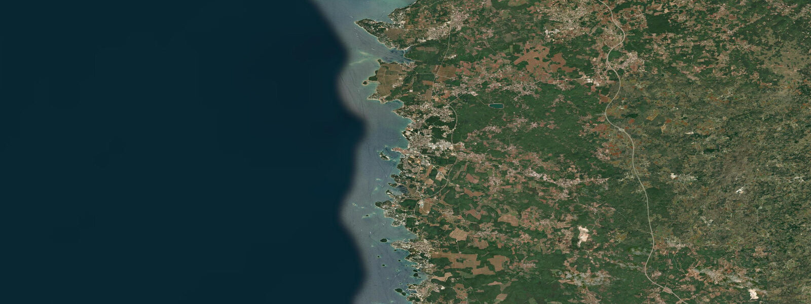
Poreč sits on a small peninsula jutting into the Parentino Channel on Istria's west coast, about 55 kilometres north of Pula. The UNESCO-listed Euphrasian Basilica occupies the northern tip of the peninsula — a 6th-century Byzantine complex with intact floor mosaics, gilded apse mosaics, and a campanile that has been a navigational landmark for vessels in the channel since the early medieval period. The basilica's apse faces north-west directly over the water; at high tide the limestone foreshore below the promontory is fully submerged, and the complex appears to rise straight from the sea.
The tidal regime at Poreč is semidiurnal, following the northern Adriatic pattern described for Pula: two highs and two lows each day, with a mean range of 0.5 to 0.8 metres and spring tides reaching just over 0.9 metres. The northern Adriatic's closed-basin amplification gives Poreč and the surrounding coast a measurably larger range than the central Adriatic, though still modest by Atlantic comparison. For most practical purposes the tidal effect at Poreč is most visible in two situations: the exposure of limestone rock platforms below the Basilica promontory at low water, and the change in navigable depth across the harbour entrance on spring lows.
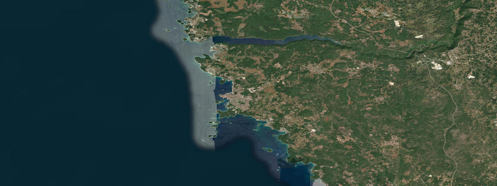
The town peninsula has distinct east and west faces. The eastern side is the working harbour — ferries to Venice and Trieste, local fishing boats, and the excursion fleet. The western face opens onto the Parentino Channel; this is the residential waterfront, calmer water, and the main swimming coves. The island of Sveti Nikola, 1.7 kilometres across the channel, is the dominant visual feature from the western waterfront. At low water the shallowest point in the channel between town and the island drops to around 3 to 4 metres in the main fairway, with patches of 2 metres or less on the flanks. The regular passenger ferry to Sveti Nikola — a ten-minute crossing — runs throughout the season regardless of tidal state, but kayakers and paddleboarders crossing the channel on their own should be aware the shallowest areas are marked on nautical charts.
Sveti Nikola itself is a wooded island with a beach on its eastern face and rocky foreshore on the west. At low water the beach widens by 4 to 8 metres, and the southern tip of the island exposes a limestone shelf walkable for about 50 metres. The island is vehicle-free. Day trippers from Poreč typically arrive by the morning ferry and leave by mid-afternoon; the quietest swimming is at high tide in the early morning before the excursion boats arrive.
The Lim Channel — Limski Kanal — is Istria's most distinctive geographical feature, located 10 kilometres south of Poreč by road and accessible by boat from the harbour. This 12-kilometre drowned river valley cuts deep into the Istrian hinterland; the valley walls rise 100 metres on either side, covered in scrub oak and Mediterranean vegetation. The channel is narrow — 200 to 500 metres wide along most of its length — and almost completely enclosed at the inland end. Tidal exchange reaches the full length of the channel; at spring low water the sides of the channel expose 1 to 2 metres of oyster- and mussel-encrusted limestone. The Lim Channel is the main oyster and mussel farming area in Croatian Istria; suspended cultivation lines run from floating pontoons along the central fairway. Boat excursions from Poreč take approximately 30 minutes to reach the channel entrance and typically anchor near the aquaculture installations for swimming and seafood meals served directly from working farm boats.
Paddleboarders from Poreč have a protected circuit: harbour to the southern tip of the town peninsula, across the channel to Sveti Nikola's eastern beach, north around the island, then back to the harbour on the channel side. Total distance approximately 5 kilometres; crossing exposed to prevailing north-west Bura wind but protected from southerly Jugo swell by the peninsula. The crossing to Sveti Nikola should be timed to the upper half of the tide to keep maximum depth under the board in the shallowest reaches.
Anglers work the channel from small boats for sea bass, sea bream, and mullet. The rocky drop-offs on the outer (western) face of the peninsula hold the best structure; the flood tide — rising water — pushes baitfish over the rocks and triggers predator activity from one hour before high water through to 90 minutes after. Shore fishing from the Basilica promontory's northern seawall is possible but physically constrained. The productive seasons are May to June and September to October.
For photographers, the Euphrasian Basilica at low water provides the most striking image: the exposed limestone ledges below the promontory show a pale, striated foreground with the Byzantine campanile rising behind. The western light in late afternoon catches the campanile stone at a warm angle. At high tide the same composition has the tower emerging from the water, which is equally effective but different in character — more austere, more island-like. Both are worth shooting at different spring-tide cycles.
Beach families use the small coves along the western face of the peninsula and the beach at Zelena Laguna, 4 kilometres south of town. Zelena Laguna's sand-and-pebble beach gains 5 to 10 metres of usable foreshore at low water on spring tides. Water temperature in July and August is 24 to 26°C; clearest conditions are at high tide before midday.
Tide data for Poreč, Istria comes from the Open-Meteo Marine API, a gridded model product. Timing accuracy is ±45 minutes, height accuracy ±0.3 m — usable for trip planning, not for navigation.
Tide questions about Poreč, Istria
Quick answers to the most common questions about tide times, range, and water access at Poreč, Istria.
What is the tidal range at Poreč and does it affect the harbour?
The mean tidal range at Poreč is 0.5 to 0.8 metres, with spring tides reaching around 0.9 metres above chart datum. The harbour entrance on the eastern side of the peninsula stays navigable throughout the tidal cycle for vessels drawing up to 2.5 metres. On spring low tides, the shallowest approaches on the flanks of the channel between town and Sveti Nikola Island drop to around 2 metres — relevant for paddleboards and shallow-draft vessels. The ferry pier on the eastern harbour face maintains adequate depth across the full tidal range.
What is the Lim Channel and is it worth visiting from Poreč?
The Lim Channel (Limski Kanal) is a 12-kilometre drowned river valley 10 kilometres south of Poreč — the closest thing to a fjord on the Adriatic coast. The channel walls rise 100 metres above the water. The channel is an active oyster and mussel farming area; boat excursions from Poreč harbour include swimming stops and seafood meals served from the farming pontoons. At spring low water the limestone sides of the channel expose 1 to 2 metres of encrusted shellfish beds. Excursion boats run daily from May through October; journey time from Poreč harbour is approximately 30 to 40 minutes.
How do I get to Sveti Nikola Island and does the tide matter?
The passenger ferry from Poreč harbour to Sveti Nikola runs every 30 to 60 minutes during the season and takes approximately 10 minutes. The ferry operates regardless of tidal state. For kayakers and paddleboarders making the crossing independently, the shallowest sections of the channel between town and the island drop below 2 metres at spring low water on the flanks of the fairway; plan the crossing for mid-tide or higher. The main navigable fairway stays at 3 to 4 metres depth across the full tidal cycle.
When does the Euphrasian Basilica promontory expose rock at low tide?
The limestone shelf below the Basilica promontory is exposed at every low tide, but the extent varies with the tidal range. On neap lows (range around 0.4 to 0.5 metres) the shelf exposure is minimal — perhaps 1 to 2 metres of wet limestone. On spring lows (range 0.8 to 0.9 metres) the shelf extends 4 to 6 metres outward and is partially walkable, though the surface is encrusted with barnacles and requires shoes. The window of maximum exposure is approximately 90 minutes centred on low water. The most dramatic visual contrast — tower rising above exposed rock — is achieved on a spring tide in the two hours before sunset.
Is paddleboarding safe around the Poreč peninsula?
The circuit from the harbour around the town peninsula and to Sveti Nikola Island is well-suited to intermediate paddleboarders. The protected eastern harbour side is sheltered from westerly winds; the western face of the peninsula is exposed to the Bura (north-easterly) and open to channel chop from the north-west in afternoon hours. The crossing to Sveti Nikola is 1.7 kilometres each way — plan for a three-hour outing at minimum. Paddle in the upper half of the tidal cycle to maintain depth over the channel shallows. Avoid the crossing when Bura exceeds Force 3; it accelerates rapidly in the channel between the peninsula and the island.
8-day tide table — Poreč, Istria
Heights relative to MSL. Predictions: Open-Meteo Marine (MeteoFrance SMOC, 0.08° grid) — heights relative to MSL (not chart datum / LAT). Model-derived.
| Day | Type | Time | Height |
|---|---|---|---|
| Fri 19 Jun | High | 02:00 | -0.5m |
| Low | 06:38 | -1.0m | |
| High | 14:06 | -0.3m | |
| Low | 20:15 | -0.6m | |
| Sat 20 Jun | High | 00:15 | -0.5m |
| Low | 07:10 | -1.0m | |
| High | 14:50 | -0.2m | |
| Sun 21 Jun | Low | 07:45 | -0.9m |
| Mon 22 Jun | High | 02:50 | -0.7m |
| Low | 08:10 | -0.8m | |
| High | 16:15 | -0.2m | |
| Tue 23 Jun | Low | 00:10 | -0.7m |
| High | 17:00 | -0.2m | |
| Wed 24 Jun | Low | 01:10 | -0.8m |
| High | 17:45 | -0.2m | |
| Thu 25 Jun | Low | 01:45 | -0.8m |
| High | 09:00 | -0.5m | |
| Fri 26 Jun | Low | 01:00 | -0.8m |