Portoferraio, Elba tide times
Portoferraio, Elba tide forecast — heights relative to MSL.
Today's tide times for Portoferraio, Elba
Tide times at Portoferraio, Elba on Sunday, 21 June 2026: first high tide at 02:00, first low tide at 09:00. Sunrise 05:40, sunset 21:00.
Tide chart for Portoferraio, Elba
24-hour cosine-interpolated curve around the present moment. Heights relative to MSL. Predictions: Predictions: Open-Meteo Marine (MeteoFrance SMOC, 0.08° grid).
Sun, moon and conditions on Sun 21 Jun
Snapshot at build time — refreshes daily. Sea state from Open-Meteo Marine.
Highs and lows next 7 days
Every predicted high and low for the next week, with the daily tidal coefficient (0–120; higher = bigger swing, > 95 means stronger currents).
Other spots nearby
The three closest curated TideTurtle locations to Portoferraio, Elba, measured by great-circle distance.
Today's solunar windows
Solunar tradition: major periods are the ≈3h windows around moon transit and opposition; minor are ≈2h around moonrise and moonset. Pair with the local tide stage and wind for the best read.
About tides at Portoferraio, Elba
A short guide to the coastline at Portoferraio, Elba — geography, sea state, and what the tide is actually doing under your feet.
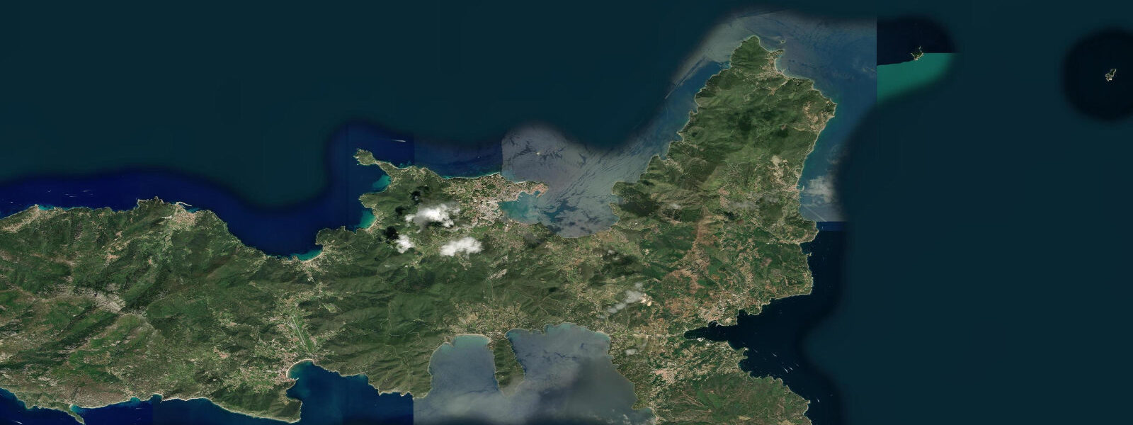
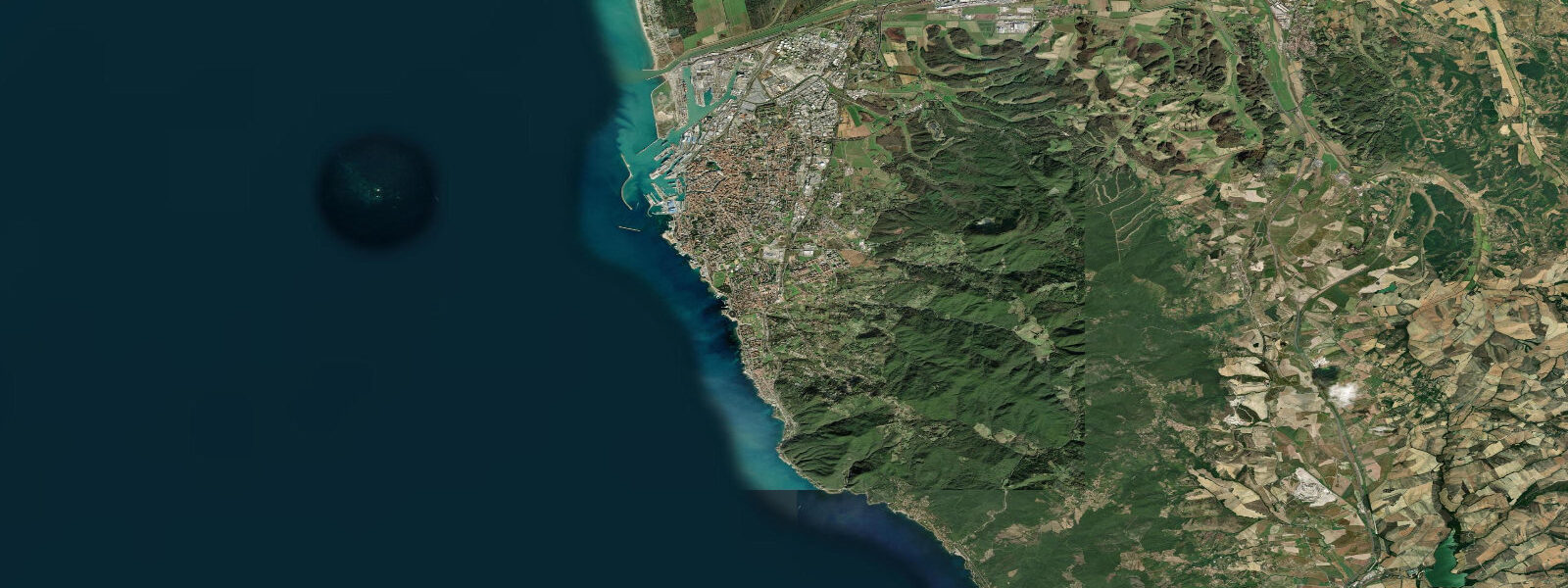
Portoferraio is the main town and ferry gateway of Elba, the largest island in the Tuscan Archipelago at roughly 224 km². The harbour is almost completely enclosed — its shape has been compared to a wine bottle, with a narrow entrance between two promontories — making it one of the most naturally sheltered anchorages in the Tyrrhenian. The Forte Falcone and Forte Stella Medici fortresses flank the hillside above; the old town's Napoleonic heritage (his Palazzina dei Mulini and Villa San Martino) draws considerable visitor interest, as Elba was Napoleon's home in exile from May 1814 to February 1815.
Elba's coastline runs to approximately 147 km, ranging from the granite headlands of the west coast to the iron-ore stained red beaches near Rio Marina on the east. The island's geological diversity — iron, pyrite, granite, schist — makes for exceptional snorkelling and diving: underwater rock colour transitions are visible within a single dive. Historically Elba was one of Europe's largest iron-ore producers; the mines at Rio Marina and Capoliveri operated until the late 20th century.
Tidal range at Portoferraio is around 0.3 m above Lowest Astronomical Tide, matching mainland Tuscan values. The enclosed harbour geometry damps even this small range further inside the anchorage. Tidal current through the entrance channel is negligible — arriving ferry captains set approach speed and angle by wind and vessel momentum, not tidal stream. Around the exposed western cape (Capo d'Enfola, Capo Sant'Andrea) a modest sea-breeze-driven littoral drift operates, but this is meteorological, not tidal.
For sea-kayakers circumnavigating Elba, the key variables are the afternoon maestrale (north-westerly) that accelerates along the northern shore and the fetch from the south-west that affects the western headlands. Tide height difference between start and finish of a multi-day circuit is small enough to be practically irrelevant for beach landing selection.
Open-Meteo Marine provides the tide data shown here (±45 min / ±0.2–0.3 m). For authoritative sea-level records at Elba, ISPRA maintains the Portoferraio tide gauge as part of the Rete Mareografica Nazionale.
Tide questions about Portoferraio, Elba
Quick answers to the most common questions about tide times, range, and water access at Portoferraio, Elba.
What is the tidal range at Portoferraio, and does it matter for arriving ferries?
Tidal range at Portoferraio is approximately 0.3 m above Lowest Astronomical Tide — one of the smallest in Italy. The naturally enclosed harbour geometry reduces even this modest signal further inside the anchorage. Ferry services from Piombino (the most frequent crossing, roughly 30–60 minutes) operate on clock schedules independent of tidal state. Berth depth in the main ferry terminal comfortably exceeds vessel draft throughout the full tidal cycle. Captains adjust approach for wind set and prop wash off the quay walls, not for tide height.
Is the diving around Elba affected by tidal currents?
Tidal currents around Elba are extremely weak — typically under 0.2 knots even at open coastal headlands. There is no meaningful slack-water window to target for diving here. The dominant planning factors are sea state (swell from south-west in libeccio conditions, chop from north-west maestrale), underwater visibility (best in late spring and early autumn, reduced after storms), and boat-traffic density in summer. The geological diversity of Elba's seabed — transitions from granite to schist to serpentinite within a single site — makes many dives visually exceptional regardless of tidal timing.
What coastline conditions should kayakers expect when circumnavigating Elba?
A full circumnavigation of Elba covers roughly 147 km of coastline. Tidal variation (0.3 m range) is not a meaningful planning factor for beach landings or headland timing. The dominant variables are wind (afternoon maestrale accelerates along the north coast, libeccio creates fetch on the south-west), the exposed western cape (Capo Sant'Andrea, Capo d'Enfola) where swell wraps around, and boat traffic density in summer around the major anchorages. A clockwise circuit starting from Portoferraio typically benefits from calmer morning conditions on the exposed western leg.
When is Napoleon's exile history connected to Portoferraio's harbour?
Napoleon arrived at Portoferraio on 4 May 1814 and spent nine months on Elba before escaping to France on 26 February 1815. His residence, the Palazzina dei Mulini, sits above the harbour inside the old town walls and is open to visitors. The Forte Falcone and Forte Stella above the harbour entrance were part of the Medici defensive system that predated Napoleon's tenure by centuries, though he repaired and garrisoned both during his stay. The harbour's wine-bottle shape — visible from the fortresses above — made it militarily and commercially attractive long before the Napoleonic period.
How reliable are the tide predictions shown for Portoferraio, and are they suitable for navigation?
Tide predictions on this page come from Open-Meteo Marine and carry an accuracy of approximately ±45 minutes on timing and ±0.2–0.3 m on height in normal meteorological conditions. At Portoferraio, where the total astronomical range is only around 0.3 m, a 0.2–0.3 m model uncertainty is a large fraction of the signal itself — meaning small-scale height details carry limited precision. For navigation, commercial berthing, or flood risk assessment, consult ISPRA Rete Mareografica Nazionale real-time data and the Capitaneria di Porto. This page is intended as a planning orientation tool, not a substitute for official hydrographic sources.
8-day tide table — Portoferraio, Elba
Heights relative to MSL. Predictions: Open-Meteo Marine (MeteoFrance SMOC, 0.08° grid) — heights relative to MSL (not chart datum / LAT). Model-derived.
| Day | Type | Time | Height |
|---|---|---|---|
| Sun 21 Jun | High | 02:00 | -0.4m |
| Low | 09:00 | -0.7m | |
| Mon 22 Jun | — | ||
| Tue 23 Jun | High | 04:00 | -0.4m |
| Low | 23:00 | -0.6m | |
| Wed 24 Jun | High | 05:00 | -0.4m |
| Thu 25 Jun | Low | 12:00 | -0.6m |
| High | 19:10 | -0.4m | |
| Fri 26 Jun | — | ||
| Sat 27 Jun | Low | 13:45 | -0.6m |
| High | 20:15 | -0.3m | |
| Sun 28 Jun | Low | 01:00 | -0.5m |