
Livorno tide times
Livorno tide forecast — heights relative to MSL.
Today's tide times for Livorno
Tide times at Livorno on Sunday, 21 June 2026: first high tide at 02:00, first low tide at 09:10. Sunrise 05:37, sunset 21:03.
Tide chart for Livorno
24-hour cosine-interpolated curve around the present moment. Heights relative to MSL. Predictions: Predictions: Open-Meteo Marine (MeteoFrance SMOC, 0.08° grid).
Sun, moon and conditions on Sun 21 Jun
Snapshot at build time — refreshes daily. Sea state from Open-Meteo Marine.
Highs and lows next 7 days
Every predicted high and low for the next week, with the daily tidal coefficient (0–120; higher = bigger swing, > 95 means stronger currents).
Other spots nearby
The three closest curated TideTurtle locations to Livorno, measured by great-circle distance.
Today's solunar windows
Solunar tradition: major periods are the ≈3h windows around moon transit and opposition; minor are ≈2h around moonrise and moonset. Pair with the local tide stage and wind for the best read.
Cycle dates near Livorno
Last spring tide on Sun 21 Jun (range 0.2m). Next neap on Sat 27 Jun.
Spring tides cluster around new and full moons (biggest swings). Neap tides land on quarter moons (smallest swings). See the spring tide and neap tide glossary entries for the why.
About tides at Livorno
A short guide to the coastline at Livorno — geography, sea state, and what the tide is actually doing under your feet.
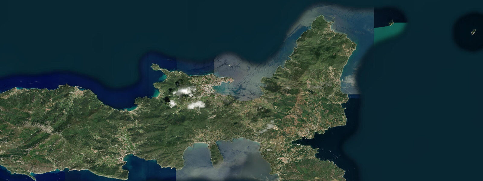
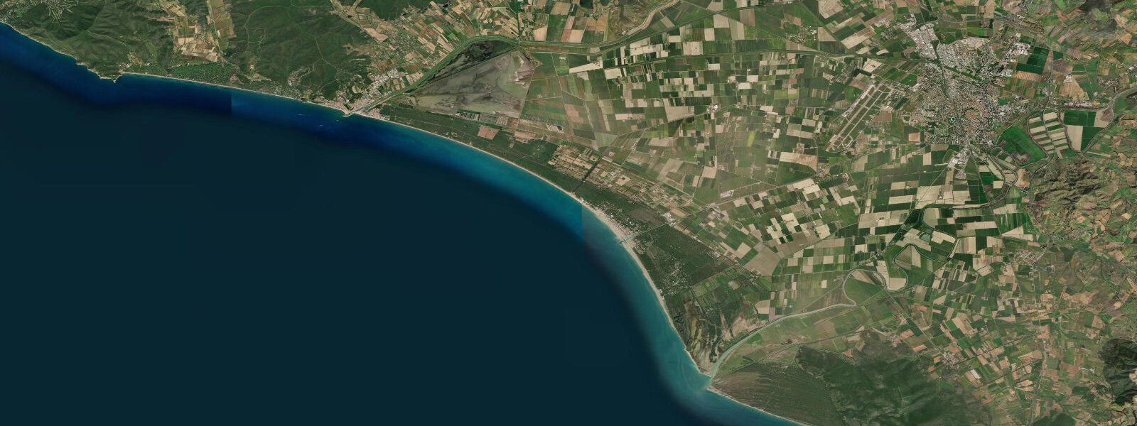
Livorno sits on the Tyrrhenian coast of Tuscany, roughly 20 km south-west of Pisa, and is one of Italy's busiest commercial and ferry ports. The Fortezza Vecchia, a 16th-century Medici fortress, marks the inner harbour mouth and is the visual anchor of the old waterfront. The city's Venezia Nuova district — a grid of canals inspired by the Amsterdam model, dug in the 17th century — is unique in Tuscany and makes Livorno one of the few Italian port cities with a canal-town character reminiscent of Venice.
Tidal range at Livorno is around 0.3 m above Lowest Astronomical Tide. This is among the smallest ranges on any monitored Italian coastline. For most practical purposes the astronomical tide is a near-constant — anglers working the harbour jetties, kayakers paddling the Venezia Nuova canals, and swimmers at nearby Antignano will not notice tidal stage in normal conditions.
The more significant sea-level driver here is the meteorological tide. Sustained libeccio (south-westerly) winds of 20–30 knots can pile an extra 0.2–0.5 m of water against the Livorno waterfront within hours. These surge events, similar in mechanism to Venice's acqua alta but shorter-lived, can temporarily flood the lowest canal-side quays in Venezia Nuova and the outer ferry terminal aprons. The Capitaneria di Porto (port authority) issues VHF weather updates; sea-level anomaly forecasts from ISPRA's Rete Mareografica Nazionale are the authoritative source for surge risk.
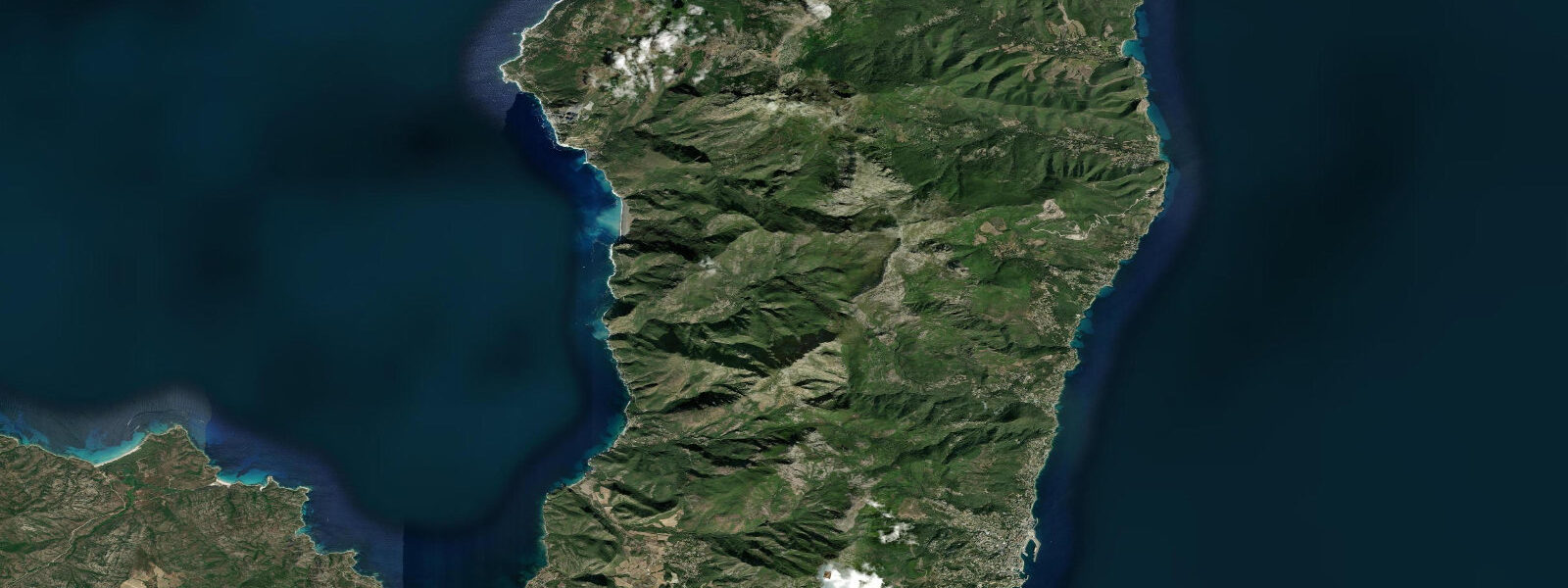
For divers, the wrecks and rocky reef systems 2–5 km offshore experience almost no tidal current — visibility and surface conditions (swell from libeccio, bora thermals in winter) are the primary planning variables. Ferryman schedules to Capraia and Elba run on fixed clock times regardless of tidal state; the constraint is sea state, not tide height.
Open-Meteo Marine provides the tide predictions shown on this page, accurate to approximately ±45 minutes on timing and ±0.2–0.3 m on height. For safety-critical decisions — commercial vessel berthing, flood-risk assessment — consult ISPRA tide gauge data and Capitaneria di Porto notices.
Tide questions about Livorno
Quick answers to the most common questions about tide times, range, and water access at Livorno.
What is the tidal range at Livorno, and does it affect ferry and port operations?
The mean tidal range at Livorno is approximately 0.3 m above Lowest Astronomical Tide — extremely small by Atlantic or North Sea standards. Ferry services to Elba, Capraia, and Sardinia operate on fixed schedules dictated by sea state and commercial timetables, not tidal state. The astronomical tide alone does not affect berth availability or vessel manoeuvring in Livorno's deep commercial port. However, meteorological surges driven by libeccio winds can temporarily raise sea level by an additional 0.2–0.5 m and are monitored by ISPRA and the Capitaneria di Porto.
Can the Venezia Nuova canals flood at high tide?
The Venezia Nuova district's lowest canal-side quays sit only marginally above mean sea level. Astronomical high tide alone — roughly 0.15 m above mean — is not enough to cause flooding. The risk comes from combined events: high astronomical tide coinciding with a libeccio surge (barometric low plus south-westerly wind), which can add 0.2–0.5 m and briefly inundate the lowest stone walkways. These events are rare but not unusual in autumn and winter. ISPRA's Rete Mareografica Nazionale publishes real-time sea level for the Livorno gauge.
Is Livorno suitable for sea kayaking, and how do tides affect paddling conditions?
The microtidal range (around 0.3 m) means tidal currents in Livorno's near-shore waters are negligible — typically under 0.2 knots at harbour entrances and effectively zero along open coast stretches. Paddle-planning at Livorno revolves around wind and sea state, not tidal windows. The Venezia Nuova canals are a sheltered flat-water option regardless of tidal stage. Libeccio swells from the south-west are the main hazard for coastal routes toward the Calafuria cliffs to the south; check forecast swell height and wind direction before committing to an exposed stretch.
When is the best time to dive near Livorno, and does slack water matter?
Livorno's offshore reefs and wrecks sit in near-tidal-dead-water: tidal current contributions are so small (well under 0.3 knots even at peak) that there is no meaningful slack-water window to time. Dive planning here is governed by visibility (worst after winter storms or when the Arno and Serchio rivers flood with sediment), surface swell, and thermocline depth. Summer mornings before the sea breeze fills in typically offer the best flat-water conditions. ISPRA's water quality and sea temperature data supplement local dive-operator briefings.
How accurate are the tide predictions on this page, and should I rely on them for navigation?
Tide predictions on this page are generated by Open-Meteo Marine, a free meteorological and oceanographic modelling service. Accuracy is approximately ±45 minutes on predicted tide times and ±0.2–0.3 m on predicted heights under normal conditions. These predictions do not account for surge events driven by wind or barometric pressure, which at Livorno can be larger than the astronomical tide itself. For navigation, commercial port operations, or any safety-critical decision, use ISPRA Rete Mareografica Nazionale real-time gauge data and official Notices to Mariners from the Capitaneria di Porto di Livorno. This page is an orientation tool, not a substitute for official hydrographic publications.
8-day tide table — Livorno
Heights relative to MSL. Predictions: Open-Meteo Marine (MeteoFrance SMOC, 0.08° grid) — heights relative to MSL (not chart datum / LAT). Model-derived.
| Day | Type | Time | Height |
|---|---|---|---|
| Sun 21 Jun | High | 02:00 | -0.4m |
| Low | 09:10 | -0.7m | |
| Mon 22 Jun | High | 03:00 | -0.5m |
| Low | 09:50 | -0.7m | |
| High | 16:00 | -0.5m | |
| Tue 23 Jun | Low | 10:50 | -0.6m |
| Wed 24 Jun | — | ||
| Thu 25 Jun | High | 05:10 | -0.5m |
| Low | 12:00 | -0.6m | |
| Fri 26 Jun | High | 20:00 | -0.4m |
| Sat 27 Jun | Low | 01:50 | -0.5m |
| High | 07:00 | -0.4m | |
| Sun 28 Jun | Low | 01:00 | -0.5m |