Bastia tide times
Bastia tide forecast — heights relative to MSL.
Today's tide times for Bastia
Tide times at Bastia on Saturday, 27 June 2026: first low tide at 02:00, first high tide at 20:10. Sunrise 05:45, sunset 21:04.
Tide chart for Bastia
24-hour cosine-interpolated curve around the present moment. Heights relative to MSL. Predictions: Predictions: Open-Meteo Marine (MeteoFrance SMOC, 0.08° grid).
Sun, moon and conditions on Sat 27 Jun
Snapshot at build time — refreshes daily. Sea state from Open-Meteo Marine.
Highs and lows next 7 days
Every predicted high and low for the next week, with the daily tidal coefficient (0–120; higher = bigger swing, > 95 means stronger currents).
Other spots nearby
The three closest curated TideTurtle locations to Bastia, measured by great-circle distance.
Today's solunar windows
Solunar tradition: major periods are the ≈3h windows around moon transit and opposition; minor are ≈2h around moonrise and moonset. Pair with the local tide stage and wind for the best read.
About tides at Bastia
A short guide to the coastline at Bastia — geography, sea state, and what the tide is actually doing under your feet.
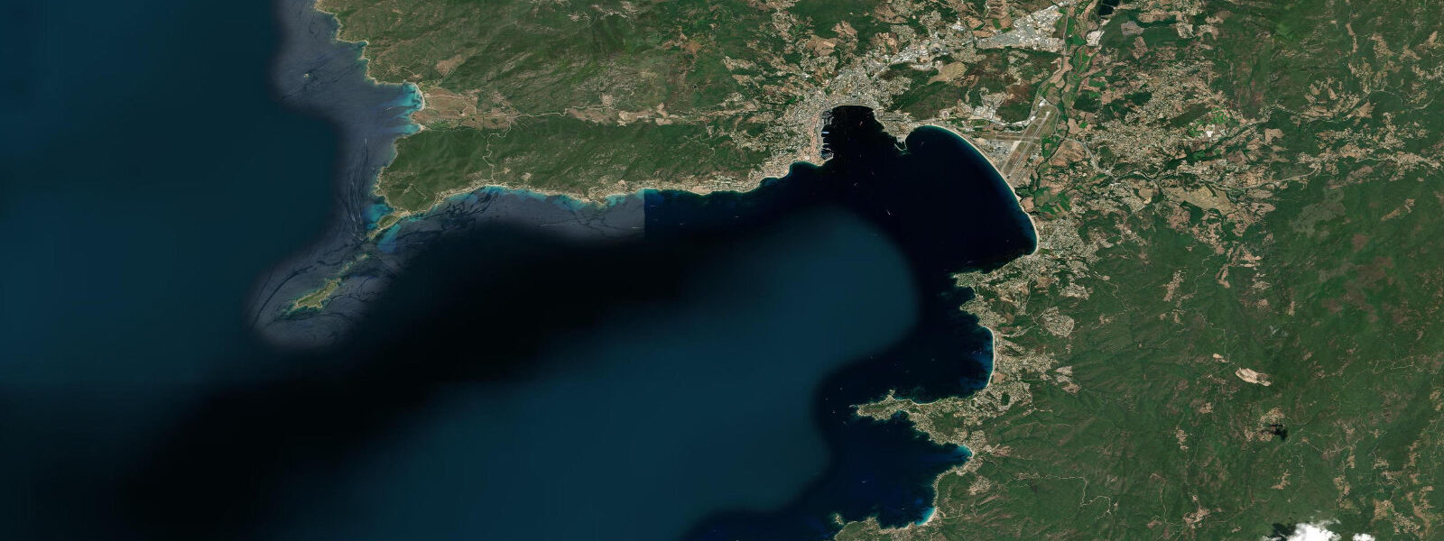
Bastia occupies the northeast corner of Corsica, backed by the long finger of the Cap Corse peninsula and facing the Ligurian Sea toward mainland Italy. It is Corsica's second-largest city and its busiest commercial port — ferries run daily to Marseille, Nice, and Livorno, and the old port, the Vieux-Port, still hosts a working fishing fleet between the tourist sailing yachts. The tidal range at Bastia is 0.30 m on spring tides, marginally larger than the southern and western coasts due to the slight amplification of the Ligurian basin. That 30 cm is the difference between the water touching the lowest mooring ring at high water and leaving a strip of dark granite visible at low — practically irrelevant for most activities but worth knowing when launching small boats over slippery algae-covered ramps.
The tramontane is the defining weather feature of this coast. The wind funnels south down the Rhône valley, crosses the Gulf of Lion, and hits Cap Corse's northern tip with force. At Bastia, tramontane events bring gusts of 50–80 km/h, white-capped seas on the Ligurian side, and a 0.3 m suppression of sea level as the wind pushes water offshore. The harbor offers protection on these days, but the coast north toward Cap Corse becomes hazardous for small craft.
Diving is the primary draw for underwater-oriented visitors. The Tombant de la Corce reef drops from 10 m on the wall top to more than 35 m, with red and yellow gorgonian sea fans, grouper, and conger eels in the darker reaches. Visibility averages 15–25 m on the northern Corsican coast — cleaner water than the gulf in the south because the Ligurian Sea has fewer river inputs and less boat traffic. Several dive centres operate out of the marina.
The sea floor around Cap Corse is covered in posidonia seagrass from 3 m down to the light limit at around 30–40 m. At low water — 0.30 m below mean sea level — the seagrass edges in the shallower bays are occasionally exposed to air, and the seagrass rolls (matte morta) that accumulate on beaches after storms can be collected for traditional mattress filling; this practice is now restricted. Snorkellers working the rock ledges at the entrance to the Vieux-Port can see schools of bogue, saddled bream, and occasionally octopus in the crevices between the harbour wall stones.
For photographers, the Vieux-Port at dawn has the light behind you from the east, illuminating the pastel buildings of the old Genoese town stacked up the hillside. The two Genoese towers flanking the port — Tour de l'Oratoire and Tour Saint-Marc — frame the water effectively. At high water, the reflections in the still morning harbour are cleaner; at low water, the exposed dark stone below the waterline adds texture. Neither is a rule, just a consideration.
Families and casual beach-goers use the sandy beaches of the Marana plain 10 km south of Bastia — a long, flat sandy coast with calmer conditions than the rocky north-facing shore near the port. The tidal range does not change beach access materially either north or south.
Fishing from the breakwaters and harbour walls is popular with locals. Target species are the same as the rest of the northeast coast: bream, loup de mer, and rouget (red mullet) in the channels. The commercial fleet based in the Vieux-Port targets red coral, sea urchins, and bottom fish. Night squid fishing with a jig from the harbour walls is productive in autumn when squid move inshore.
The inland mountains rise steeply immediately behind the city to over 1200 m, funnelling strong thermal winds down to the coast in the afternoon during summer. A morning launch for any coastal paddle or sailing trip is the standard approach — same principle as the rest of the island.
Tidal predictions here use the Open-Meteo Marine gridded model (±45 minutes on timing, ±0.3 m on height). Not for navigation.
Tide questions about Bastia
Quick answers to the most common questions about tide times, range, and water access at Bastia.
What diving sites are accessible from Bastia and what will I see?
The Tombant de la Corce is the headline site — a wall dropping from 10 m to over 35 m on the north Corsican shelf, with gorgonian sea fans (red and yellow), grouper, moray eels, and conger at depth. Visibility averages 15–25 m. Several dive centres operate from Bastia marina and run guided dives to this site and to the shallower reefs around Cap Corse. Snorkellers can work the harbour wall edges at the Vieux-Port for bogue, bream, and octopus without any certification.
How does the tramontane wind affect sailing from Bastia?
The tramontane funnels south down the French mainland and strikes Cap Corse with significant force — gusts of 50–80 km/h are common during events. Bastia's harbour offers good shelter, but the Ligurian Sea north of the port becomes rough quickly. Sea level drops 0.2–0.3 m during strong tramontane events as the wind pushes surface water offshore. Check the Météo-France coastal forecast for Cap Corse specifically — it is more exposed than the western coast. Avoid departing for Cap Corse on days with tramontane above force 5.
What is the best photography spot in Bastia at sunrise?
The Vieux-Port at dawn is the classic. Position yourself at the southern end of the old harbour, facing northwest toward the Genoese towers and the pastel facades stacked up the Terra Vecchia hillside. The east-facing aspect means you have good light from 07:00–09:00. At high water the reflections are cleaner; low water exposes darker stone below the waterline and adds texture to the foreground. Fog occasionally pools in the bay in April and October mornings, giving a moody layer effect.
Can I swim from the beaches near Bastia city centre?
The rocky coastline immediately around the port is not ideal for swimming. The nearest sandy beaches are at the Marana plain 8–12 km south — a long, flat stretch accessible by bus or car. These beaches face east and catch the morning light; afternoons can be windy. The tidal range of 0.30 m does not materially change beach access or water depth. Water temperature ranges from 13°C in February to 25–26°C in August. Blue-flag status at Lido de la Marana beach is maintained most summers.
Is squid fishing from the harbour walls worth doing at Bastia?
Autumn squid fishing from the harbour walls is a genuine local tradition at Bastia. September through November is the productive window, when European squid move inshore to feed. An egi (squid jig) worked vertically near the harbour wall base in 3–8 m of water after dark is the standard method. No licence is required. Local knowledge is that squid are most active on the two hours either side of midnight, particularly on overcast nights when ambient light is low. The commercial fleet also targets squid, so expect company on the better-positioned walls.
7-day tide table — Bastia
Heights relative to MSL. Predictions: Open-Meteo Marine (MeteoFrance SMOC, 0.08° grid) — heights relative to MSL (not chart datum / LAT). Model-derived.
| Day | Type | Time | Height |
|---|---|---|---|
| Sat 27 Jun | Low | 02:00 | -0.6m |
| High | 20:10 | -0.4m | |
| Sun 28 Jun | Low | 14:00 | -0.6m |
| Mon 29 Jun | — | ||
| Tue 30 Jun | High | 21:50 | -0.3m |
| Wed 01 Jul | Low | 16:00 | -0.6m |
| Thu 02 Jul | High | 10:00 | -0.4m |
| Low | 16:15 | -0.6m | |
| High | 23:10 | -0.3m | |
| Fri 03 Jul | Low | 05:10 | -0.6m |
| High | 10:50 | -0.4m | |
| Low | 17:00 | -0.6m | |