Ajaccio tide times
Ajaccio tide forecast — heights relative to MSL.
Tide chart for Ajaccio
24-hour cosine-interpolated curve around the present moment. Heights relative to MSL. Predictions: Predictions: Open-Meteo Marine (MeteoFrance SMOC, 0.08° grid).
Sun, moon and conditions on Sat 27 Jun
Snapshot at build time — refreshes daily. Sea state from Open-Meteo Marine.
Highs and lows next 7 days
Every predicted high and low for the next week, with the daily tidal coefficient (0–120; higher = bigger swing, > 95 means stronger currents).
Other spots nearby
The three closest curated TideTurtle locations to Ajaccio, measured by great-circle distance.
Today's solunar windows
Solunar tradition: major periods are the ≈3h windows around moon transit and opposition; minor are ≈2h around moonrise and moonset. Pair with the local tide stage and wind for the best read.
About tides at Ajaccio
A short guide to the coastline at Ajaccio — geography, sea state, and what the tide is actually doing under your feet.
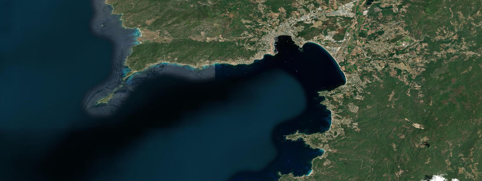
Ajaccio sits at the head of a deep gulf on Corsica's western coast, the island's largest city and Napoleon Bonaparte's birthplace. The tidal story here is brief: spring range is 0.28 m, typically running from 0.0 m chart datum to 0.28 m at high water, with a period of roughly 12 hours and 25 minutes. That 28 cm is smaller than the average wave height on a calm day, which means the practical significance of the tide table is limited — unless you are anchoring on a ledge or launching a kayak across slippery granite at low water. What you do need to watch is the wind. The libeccio, blowing from the southwest across open Mediterranean fetch, can raise sea level by 0.3–0.4 m and generate a short, steep swell in the outer gulf within a few hours. The tramontane from the northwest suppresses sea level and flattens the water. Local fishers read the sky as much as any tide app.
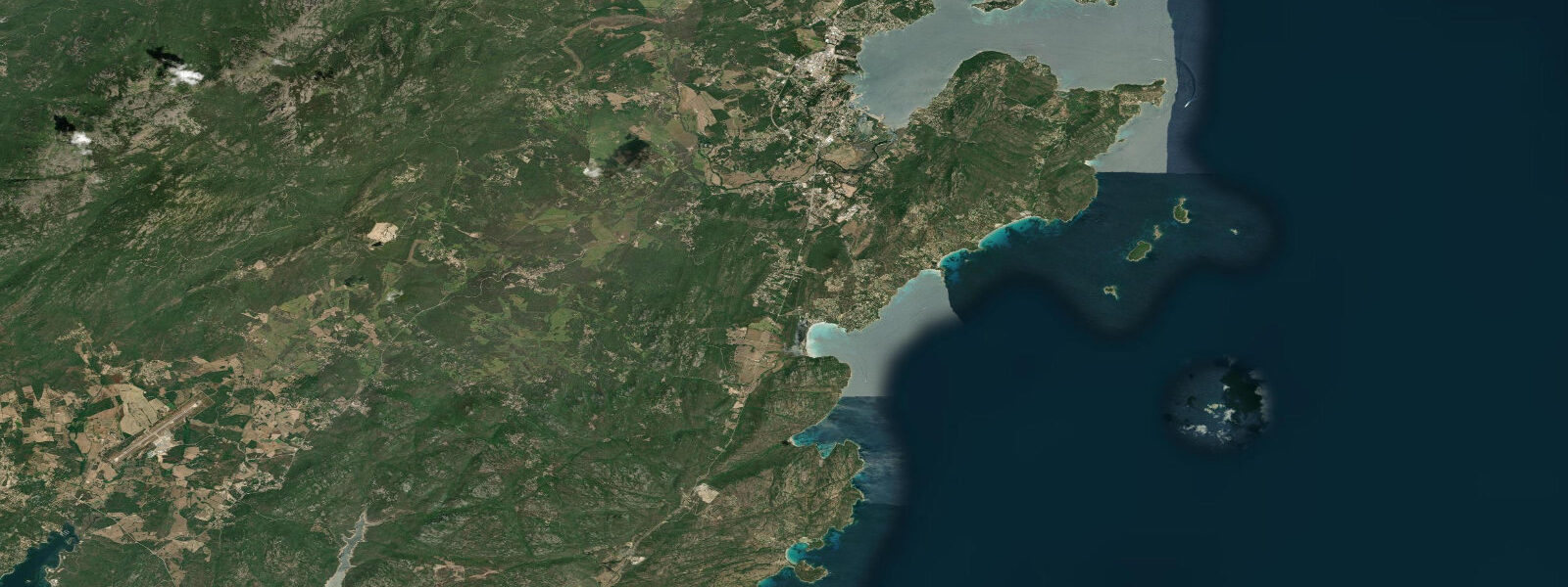
The Gulf of Ajaccio opens westward toward the Sanguinaires archipelago, four small granitic islands about 12 km out. At low water — such as it is — the rock platforms along the southern shore of Pointe de la Parata expose granite shelves patchy with encrusting algae and small rock pools. Sea urchins (Paracentrotus lividus) are dense here, so reef shoes are non-negotiable. Visibility in the gulf runs 10–20 m on calm days, with posidonia seagrass meadows starting at 2–4 m and extending to 15 m — the cleaner the water, the deeper the seagrass boundary. Snorkelling over posidonia is worth the trip: two-banded bream, painted combers, octopus, and occasional sea bream cruise the meadow edges.
Sea-kayakers use Ajaccio as a base for day paddles to the Sanguinaires. The route is straightforward in settled weather — roughly 2 hours each way, with landings on the islands themselves possible in the small coves on the eastern sides. The channel between the islands and the mainland can carry an accelerated sea breeze in the afternoons, particularly in July and August, so a morning start is standard practice. Currents in the gulf are weak, driven by wind rather than tide, and reverse with the wind direction.
For photographers, the Sanguinaires earn their name — the blood-red islands — at sunset, when the granite takes on orange and pink tones. The best angle is from the Pointe de la Parata car park, shooting west across the rock arch, with the islands in the distance. Plan for golden hour about 20 minutes before the sun hits the horizon.
Anglers work the rocky perimeter of the gulf for gilt-head bream, white sea bass (loup de mer), and moray eels. The outer edge of the gulf near the islands holds dentex and scorpionfish. No licensing is required for recreational fishing from the shore or from a private vessel in French coastal waters, though spearfishing is prohibited within 150 m of beaches and in protected areas of the marine reserve. The Réserve Naturelle des Bouches de Bonifacio covers the southern part of the island; check current boundary maps before freediving with a speargun.
Families congregate on the sandy beaches of the gulf's northern shore — Plage du Ricanto near the airport and Plage Marinella closer to the city centre. Neither has a significant tidal exposure: the 0.28 m spring range means the tide does not dramatically alter beach width, and swim areas remain consistent throughout the day. Water temperature peaks at 25–26°C in August, drops to 13°C in February.
Sailing traffic is heavy in July and August; the harbour at Port Tino Rossi fills early. Anchor off the Sanguinaires or in the secondary anchorages at Cala di Cintu (north of the gulf) to escape the crowds. Holding is good in sand on the gulf floor, 6–12 m depth.
Tidal predictions here use the Open-Meteo Marine gridded model (±45 minutes on timing, ±0.3 m on height). Not for navigation.
Tide questions about Ajaccio
Quick answers to the most common questions about tide times, range, and water access at Ajaccio.
What is the tidal range at Ajaccio and does it affect swimming beaches?
Spring tidal range at Ajaccio is 0.28 m — about the height of a paperback book standing upright. That is too small to meaningfully change beach width or water depth at the swimming areas on the gulf's northern shore. The neap range drops to roughly 0.10 m. Tide is not the variable to watch here; wind and swell are. A libeccio wind event will make the outer gulf choppy within hours, while the beaches in the sheltered inner gulf stay relatively calm regardless of tide stage. Beach-goers planning a day at Plage du Ricanto can ignore the tide table entirely.
Is snorkelling good around the Sanguinaires islands and when is the best time to go?
The rock platforms and shallow reef around the Sanguinaires hold clear water, dense posidonia seagrass, and typical Mediterranean reef fish — two-banded bream, painted combers, wrasse, and occasional octopus. Visibility runs 10–20 m on calm days. Best timing is morning from June through September, before the afternoon sea breeze picks up in the channel between the islands and the mainland. Sea urchins are common on the exposed granite, so reef shoes are essential. The 2-hour kayak paddle from Port Tino Rossi to the islands is the standard access route.
Can I kayak from Ajaccio to the Sanguinaires?
Yes — it is a practical and popular day paddle, roughly 2 hours each way from Port Tino Rossi. The route is straightforward in calm conditions: head southwest along the coast to Pointe de la Parata, then cross the 1.5 km channel to the islands. Currents in the gulf are wind-driven and generally weak. The critical variable is the afternoon sea breeze, which accelerates through the channel from around 13:00 in summer. Start early, aim to be back on shore before 14:00, and monitor the forecast the evening before.
What fish can anglers catch from the rocks around Ajaccio?
The rocky perimeter of the Gulf of Ajaccio holds gilt-head bream, white sea bass (loup de mer in French), moray eel, and scorpionfish from the shore. Dentex and larger sea bass patrol the outer gulf near the islands, best targeted in autumn when surface temperatures drop and fish move more actively. Shore fishing requires no licence in French territorial waters. Spearfishing is prohibited within 150 m of designated swimming beaches and inside any marine reserve boundaries — check the current boundary maps for the Réserve Naturelle des Bouches de Bonifacio before heading south.
How does weather affect sea level in Ajaccio more than the tide does?
In the Mediterranean, the tidal range (0.28 m at Ajaccio) is often smaller than meteorological sea level changes. A sustained libeccio wind blowing northeast across the gulf compresses water against the coast and can raise sea level by 0.3–0.4 m within hours — equalling or exceeding an entire tidal cycle. Low atmospheric pressure adds a further surge of roughly 1 cm per hectopascal below 1013 hPa. Sailors anchoring overnight in the gulf should account for wind-driven surge when setting scope, not just the tide prediction.
7-day tide table — Ajaccio
Heights relative to MSL. Predictions: Open-Meteo Marine (MeteoFrance SMOC, 0.08° grid) — heights relative to MSL (not chart datum / LAT). Model-derived.
| Day | Type | Time | Height |
|---|---|---|---|
| Sat 27 Jun | — | ||
| Sun 28 Jun | Low | 02:50 | -0.6m |
| High | 07:10 | -0.5m | |
| Mon 29 Jun | Low | 14:50 | -0.6m |
| High | 21:10 | -0.4m | |
| Tue 30 Jun | Low | 04:00 | -0.6m |
| High | 21:50 | -0.4m | |
| Wed 01 Jul | Low | 16:00 | -0.6m |
| Thu 02 Jul | High | 09:50 | -0.5m |
| Fri 03 Jul | Low | 16:50 | -0.6m |