Otranto tide times
Otranto tide forecast — heights relative to MSL.
Today's tide times for Otranto
Tide times at Otranto on Sunday, 21 June 2026: first low tide at 03:00, first high tide at 21:00. Sunrise 05:16, sunset 20:18.
Tide chart for Otranto
24-hour cosine-interpolated curve around the present moment. Heights relative to MSL. Predictions: Predictions: Open-Meteo Marine (MeteoFrance SMOC, 0.08° grid).
Sun, moon and conditions on Sun 21 Jun
Snapshot at build time — refreshes daily. Sea state from Open-Meteo Marine.
Highs and lows next 7 days
Every predicted high and low for the next week, with the daily tidal coefficient (0–120; higher = bigger swing, > 95 means stronger currents).
Other spots nearby
The three closest curated TideTurtle locations to Otranto, measured by great-circle distance.
Today's solunar windows
Solunar tradition: major periods are the ≈3h windows around moon transit and opposition; minor are ≈2h around moonrise and moonset. Pair with the local tide stage and wind for the best read.
About tides at Otranto
A short guide to the coastline at Otranto — geography, sea state, and what the tide is actually doing under your feet.
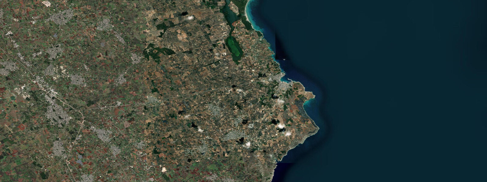
Otranto is the easternmost city in Italy and the closest Italian point to the Albanian coast, separated from it by the 72 km Strait of Otranto. The strait is one of the Adriatic's strategic chokepoints: Adriatic Basin water exits and enters through it as part of the broader Mediterranean thermohaline circulation, and it has been a crossing point for trade, migration, and conflict for at least three millennia. The Norman Cathedral of Otranto (1088) contains the largest medieval floor mosaic in Europe — 54 m long, covering the entire nave — depicting a Tree of Life and scenes from history and scripture, completed by a monk named Pantaleone around 1165.
Tidal range at Otranto is approximately 0.3 m above Chart Datum, consistent with southern Adriatic / northern Ionian values. At this latitude the Adriatic's tidal resonance has diminished compared to further north; Otranto's range is at the lower end of Puglia's values. The transition from Adriatic to Ionian tidal regime occurs approximately at the strait, and the mixed tidal character becomes slightly more pronounced here — the inequality between the two daily high tides is marginally more evident than at Bari.
The dominant current in the Strait of Otranto is not tidal. The thermohaline exchange — saltier, denser Adriatic deep water flowing south at depth, lighter Atlantic-origin surface water flowing north at the surface — generates persistent surface currents of 0.5–2 knots depending on wind and seasonal conditions. Northward surface flow is the prevailing pattern. Vessels, swimmers, and kayakers crossing or transiting near the strait mouth should treat this background current as the primary navigational variable, not tidal stage.
Historically Otranto was an important Byzantine administrative centre and a Crusader-period embarkation port. The 1480 Ottoman siege of Otranto, in which approximately 12,000 residents were killed or enslaved, produced the 813 Martyrs of Otranto — canonised in 2013 — whose remains are in the cathedral. The Aragonese Castello di Otranto on the harbour entrance was substantially rebuilt after the Ottoman assault.
Open-Meteo Marine provides the predictions on this page (±45 min / ±0.2–0.3 m). For strait-specific current and sea-level data, ISPRA's Otranto gauge is the authoritative Italian source. The Italian Hydrographic Institute (IIM) publishes official tidal atlases and current charts for the Strait of Otranto.
Tide questions about Otranto
Quick answers to the most common questions about tide times, range, and water access at Otranto.
What is the tidal range at Otranto, and does the Strait of Otranto have significant tidal currents?
Tidal range at Otranto is approximately 0.3 m above Chart Datum. Tidal currents in the strait itself are weak — under 0.5 knots at peak even in open-strait sections. The dominant current is thermohaline exchange: saltier, denser Adriatic deep water flows south at depth out of the basin while lighter surface water flows north. Prevailing surface current runs northward at 0.5–2 knots, modulated by wind and seasonal density gradients. For any vessel planning to transit the strait, the thermohaline surface current and wind-driven set are the navigational variables to resolve; the tide is secondary. The Italian Hydrographic Institute (IIM) publishes current atlases for the strait.
Is Otranto on the Adriatic or the Ionian Sea?
Otranto sits precisely at the transition. The Strait of Otranto marks the geographic boundary between the Adriatic Basin and the Ionian Sea. The town itself and its harbour face east-north-east into what is technically the southern Adriatic; the Ionian basin proper opens further south. In tidal terms, the southern Adriatic (Otranto, Brindisi) carries values consistent with the Ionian rather than the amplified northern Adriatic: range of approximately 0.3 m, slightly diminished tidal resonance, marginally more mixed (diurnal inequality) character compared to Bari. Oceanographers treat the Strait of Otranto as the Adriatic-Ionian boundary.
Can I snorkel or dive directly from Otranto's harbour, and are tides a factor?
The rocky coast on both sides of Otranto harbour — particularly the stretch north toward the Bay of Porto Badisco, a protected cove with crystal-clear water — is excellent for snorkelling and diving. Tidal currents are negligible (0.3 m range, no meaningful stream). The strait's thermohaline current runs primarily offshore and at depth; inshore of the harbour, current is wind-driven and episodic. Visibility near Otranto is frequently outstanding (15–25 m) given the Ionian-origin water quality; best windows are late spring and early autumn before and after the summer algal cycle. Slack-water timing has no practical relevance for diving here.
What is the historical significance of Otranto's harbour?
Otranto's natural harbour made it Italy's closest port to the eastern Mediterranean for most of recorded history. Greek colonists established a presence here (Hydruntum in Latin); it was a key Byzantine administrative port under the Eastern Empire for centuries. Crusaders used it as an embarkation point for the Holy Land alongside Brindisi and Bari. The 1480 Ottoman siege, ending with the decapitation of around 800 citizens who refused to convert to Islam — now the Martyrs of Otranto, canonised 2013 — is the city's most defining historical episode. Post-siege, the Aragonese rebuilt the harbour castle and fortifications. The Norman-era cathedral floor mosaic (completed c.1165) remains one of the most complete medieval narrative mosaics in Europe.
How accurate are the tide predictions for Otranto, and are they suitable for strait crossings or navigation?
Tide predictions on this page are from Open-Meteo Marine, with accuracy of approximately ±45 minutes on timing and ±0.2–0.3 m on height. For the Strait of Otranto, tidal predictions have limited operational value for navigation because the dominant current is thermohaline exchange and wind-driven set, not tidal. A prediction accuracy of ±45 minutes on a 0.3 m astronomical tide is acceptable for beach and harbour-planning purposes. For any vessel transiting the strait or coastal passage planning in the southern Adriatic, consult Italian Hydrographic Institute (IIM) current atlases, ISPRA Rete Mareografica Nazionale real-time data, and the Capitaneria di Porto. These tide predictions are an orientation tool; they are not a substitute for official hydrographic publications or professional passage planning.
8-day tide table — Otranto
Heights relative to MSL. Predictions: Open-Meteo Marine (MeteoFrance SMOC, 0.08° grid) — heights relative to MSL (not chart datum / LAT). Model-derived.
| Day | Type | Time | Height |
|---|---|---|---|
| Sun 21 Jun | Low | 03:00 | -0.7m |
| High | 21:00 | -0.5m | |
| Mon 22 Jun | Low | 04:00 | -0.6m |
| High | 22:00 | -0.5m | |
| Tue 23 Jun | Low | 05:00 | -0.6m |
| Wed 24 Jun | High | 13:00 | -0.5m |
| Thu 25 Jun | Low | 07:00 | -0.6m |
| Fri 26 Jun | — | ||
| Sat 27 Jun | High | 15:10 | -0.3m |
| Low | 21:50 | -0.5m | |
| Sun 28 Jun | High | 01:00 | -0.5m |