Vlorë tide times
Vlorë tide forecast — heights relative to MSL.
Today's tide times for Vlorë
Tide times at Vlorë on Friday, 31 July 2026: first low tide at 02:00am, first high tide at 04:45pm. Sunrise 05:37am, sunset 07:59pm.
Tide chart for Vlorë
24-hour cosine-interpolated curve around the present moment. Heights relative to MSL. Predictions: Predictions: Open-Meteo Marine (MeteoFrance SMOC, 0.08° grid).
Sun, moon and conditions on Fri 31 Jul
Snapshot at build time — refreshes daily. Sea state from Open-Meteo Marine.
Highs and lows next 7 days
Every predicted high and low for the next week, with the daily tidal coefficient (0–120; higher = bigger swing, > 95 means stronger currents).
Other spots nearby
The three closest curated TideTurtle locations to Vlorë, measured by great-circle distance.
Today's solunar windows
Solunar tradition: major periods are the ≈3h windows around moon transit and opposition; minor are ≈2h around moonrise and moonset. Pair with the local tide stage and wind for the best read.
About tides at Vlorë
A short guide to the coastline at Vlorë — geography, sea state, and what the tide is actually doing under your feet.
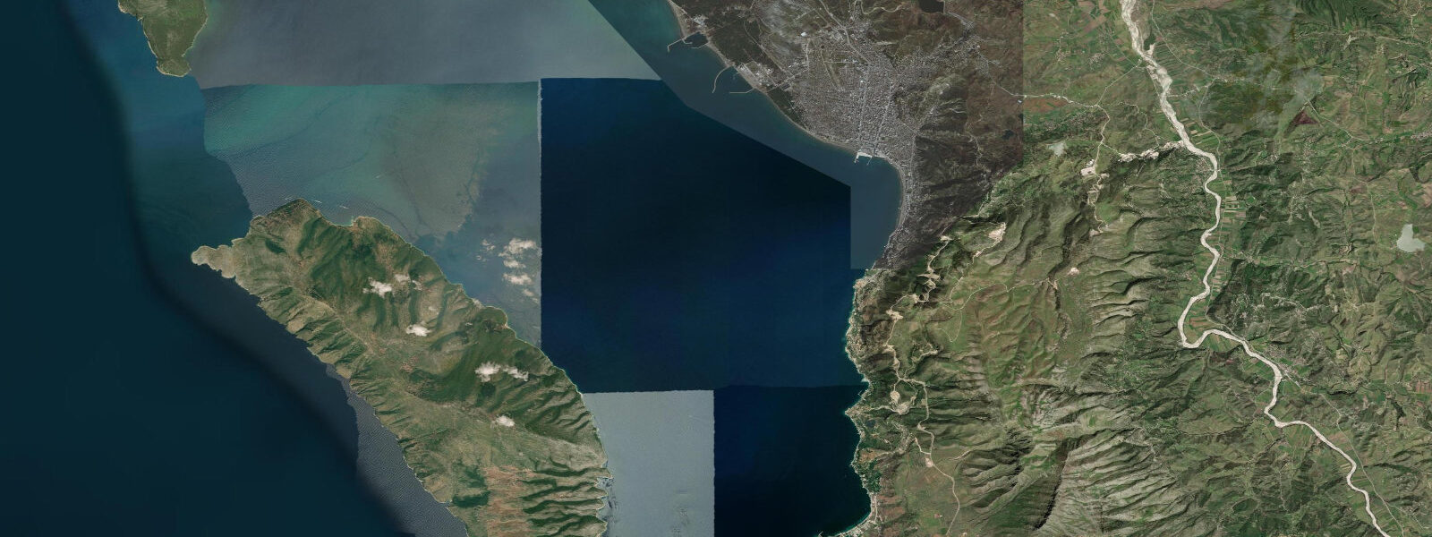
Vlorë sits at the innermost point of Vlora Bay, the wide indentation in the central Albanian coast where the Adriatic basin transitions to the Ionian Sea. The bay is broad — roughly 30 kilometres across the entrance from the Karaburun Peninsula to the coast at Orikum — and Vlorë town occupies the flat coastal plain at its head, backed by the Ceraunian Mountains rising steeply inland. The city has the character of a working southern Albanian port town rather than a polished resort: the fish market at the harbour, the evening promenade along the Lungomare, the cafes facing the bay, and the commercial traffic through the port that includes roll-on roll-off ferries to Italy.
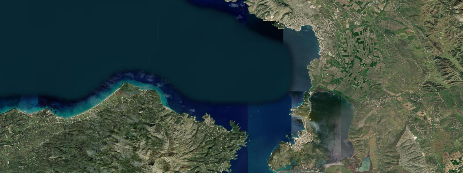
The beach coast runs south from the city toward Radhima, a long sandy and pebbly arc that holds the concentration of summer beach bars and resort accommodation. Zvërnec Island, reached by a narrow wooden causeway from the mainland shore, sits in the shallow lagoon a few kilometres north of Vlorë and holds the monastery of Our Lady of Zvërnec, a small 14th-century structure that has been rebuilt and restored over the centuries. The lagoon around the island is a wading-bird habitat — herons, egrets, and the flamingos that use the Narta Lagoon system to the north — and the shallow water over the mudflat exposes and floods with the tidal cycle in a way that is more visible here than anywhere else on the open beach coast.
5 metres, driven by the Adriatic basin resonance. 2 metres. 5 metre range on a gently shelving sandy coast means the tide line migrates visibly — 10 to 20 metres of beach width between the highest high and the lowest low on a spring tide cycle.
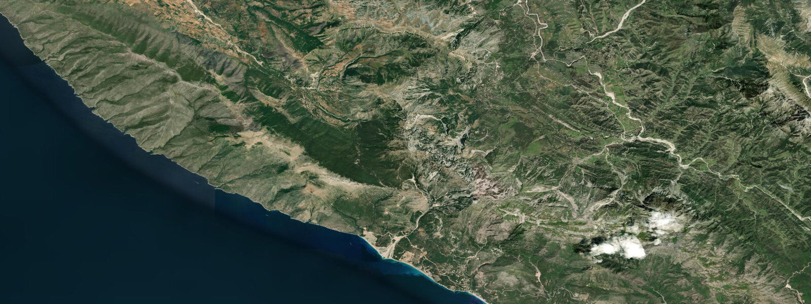
At the lowest spring lows in summer, the inner sandbar and rocky patches that are normally a foot or two underwater are occasionally exposed, and the standing-entry depth for swimmers from the shore changes noticeably. Fishermen on the Radhima coast and from the small boats working out of the Vlorë port time the incoming tide for targeting mullet and seabream in the shallows along the sandy southern beach arc. The Vjosë river mouth, some 15 kilometres north of Vlorë at the Narta Lagoon complex, introduces a freshwater pulse that is seasonal rather than tidal — the spring snowmelt from the mountains of eastern Albania and North Macedonia runs down the Vjosë, which is among the last major undammed rivers in Europe, and the flood discharge in March and April can push turbid freshwater kilometres offshore.
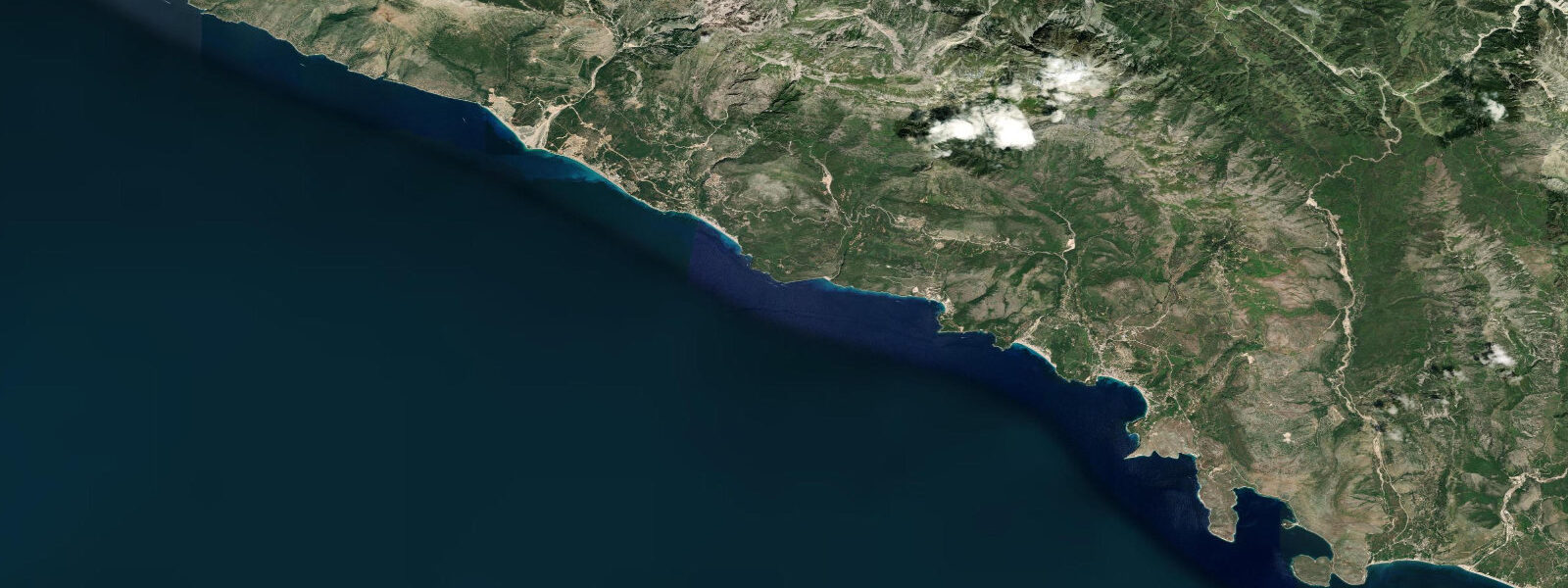
The estuary zone at Narta is a productive grey mullet and eel fishery year-round, worked by net and by line from the lagoon banks. The Karaburun Peninsula to the west, the arm of limestone highland that encloses Vlora Bay from the west, is a protected nature reserve — no permanent habitation, vehicle access limited to a forestry track from the Orikum isthmus, and the west coast facing the open Ionian. The submarine cave of Haxhi Ali on the Karaburun Ionian face, reachable only by boat from Orikum or Vlorë, is one of the most visited dive and freedive sites on the Albanian coast.
The cave entrance sits at around 10 metres below the surface and opens into a larger chamber; the water clarity on the Ionian face of Karaburun is substantially better than inside the bay, driven by the open-sea flushing rather than the relatively sheltered bay circulation. Kayakers crossing from Orikum to the Karaburun west coast need to clear the peninsula tip against potential afternoon wind from the northwest, which accelerates around the headland from the open Adriatic into the bay entrance. The predictions on this page come from Open-Meteo Marine, a gridded global ocean model.
3 metres on height — model-derived, not a local gauge. 5 metres, the model's timing uncertainty matters more than the height uncertainty for most practical planning.
Tide questions about Vlorë
Quick answers to the most common questions about tide times, range, and water access at Vlorë.
When is the next high tide at Vlorë?
The hero block at the top of this page shows the next predicted high at Vlorë in local Albanian time (CET in winter, CEST in summer, UTC+1/UTC+2). Vlorë sees a semidiurnal pattern — two highs and two lows daily, roughly 12 hours 25 minutes apart — driven by the Adriatic basin tidal signal. Mean range runs about 0.3 to 0.5 metres, which is the largest tidal range on the Albanian coast. Spring tides at new and full moons push toward the upper end; neaps at the quarter moons compress toward 0.2 metres. Predictions are from Open-Meteo Marine — model-derived, typically within plus or minus 45 minutes on timing.
What is the tidal range at Vlorë and why is it larger than at Sarandë?
Mean tidal range at Vlorë runs roughly 0.3 to 0.5 metres, compared to about 0.2 to 0.4 metres at Sarandë to the south. The difference reflects the Adriatic basin geometry. The Adriatic is a semi-enclosed sea with a resonant tidal mode that amplifies the semidiurnal signal along its length — the range increases from south to north within the Adriatic, and Vlorë, at the southern Adriatic entrance, picks up more of that signal than the Ionian coast at Sarandë. Both are still relatively small ranges by ocean standards, but the difference is perceptible on the beach: a 0.4 metre swing on the shallow-shelving Radhima sandy coast visibly shifts the tide line by 15 to 20 metres.
Where do the tide predictions on this page come from?
Open-Meteo Marine, a free gridded global ocean model. The model derives tidal estimates from oceanographic equations applied across a geographic grid, not from harmonic analysis at a calibrated Albanian coast gauge. Accuracy is typically within plus or minus 45 minutes on timing and 0.2 to 0.3 metres on height — model-derived, not a local gauge. Albania does not currently operate a publicly accessible real-time coastal tide gauge network, so Open-Meteo Marine is the best freely available reference for tidal phase and approximate height. For commercial port operations at Vlorë harbour, consult the Albanian Maritime Authority.
When is the best time to fish the Radhima coast and Narta Lagoon?
On the Radhima open-beach coast, the two to three hours either side of the incoming high tide are the productive window for mullet, seabream, and the occasional bass moving into the shallows along the sandy shore. At Narta Lagoon, the tidal influence is diluted by the Vjosë river discharge and the lagoon's own restricted exchange with the sea, making the lagoon fishing more season-dependent than tide-dependent — grey mullet, eel, and seabream are year-round residents, and the spring months when the river flood recedes and salinity restores are traditionally the most productive. The early morning and late evening low-light windows matter more at Narta than the tidal state.
Can I use these predictions for navigating into Vlorë port or to Karaburun?
No. Vlorë port operations, including the Italy ferry terminal, are managed by the Albanian Maritime Authority. Open-Meteo Marine gridded predictions do not replace official harbour authority data for vessel navigation. The tidal range at Vlorë — 0.3 to 0.5 metres — is relevant to small-craft keel clearance on the shallower approaches but is not large enough to be the primary navigation constraint at the main port; the relevant variables are traffic separation, port authority clearance, and sea state in the bay entrance. For the Karaburun sea-cave approach by dinghy or kayak, the limiting factor is the afternoon northwesterly wind that accelerates around the peninsula tip — check the marine forecast and plan for a morning passage.
7-day tide table — Vlorë
Heights relative to MSL. Predictions: Open-Meteo Marine (MeteoFrance SMOC, 0.08° grid) — heights relative to MSL (not chart datum / LAT). Model-derived.
| Day | Type | Time | Height |
|---|---|---|---|
| Fri 31 Jul | Low | 02:00 | -0.5m |
| High | 16:45 | -0.3m | |
| Sat 01 Aug | Low | 11:00 | -0.6m |
| High | 17:10 | -0.3m | |
| Low | 23:50 | -0.6m | |
| Sun 02 Aug | High | 05:50 | -0.4m |
| Mon 03 Aug | Low | 00:10 | -0.6m |
| Tue 04 Aug | High | 07:10 | -0.4m |
| Wed 05 Aug | — | ||
| Thu 06 Aug | Low | 02:00 | -0.5m |