Sarandë tide times
Sarandë tide forecast — heights relative to MSL.
Today's tide times for Sarandë
Tide times at Sarandë on Friday, 31 July 2026: first low tide at 02:00am, first high tide at 04:50am, second low tide at 10:10am, second high tide at 04:50pm, third low tide at 11:10pm. Sunrise 05:36am, sunset 07:55pm.
Tide chart for Sarandë
24-hour cosine-interpolated curve around the present moment. Heights relative to MSL. Predictions: Predictions: Open-Meteo Marine (MeteoFrance SMOC, 0.08° grid).
Sun, moon and conditions on Fri 31 Jul
Snapshot at build time — refreshes daily. Sea state from Open-Meteo Marine.
Highs and lows next 7 days
Every predicted high and low for the next week, with the daily tidal coefficient (0–120; higher = bigger swing, > 95 means stronger currents).
Other spots nearby
The three closest curated TideTurtle locations to Sarandë, measured by great-circle distance.
Today's solunar windows
Solunar tradition: major periods are the ≈3h windows around moon transit and opposition; minor are ≈2h around moonrise and moonset. Pair with the local tide stage and wind for the best read.
About tides at Sarandë
A short guide to the coastline at Sarandë — geography, sea state, and what the tide is actually doing under your feet.
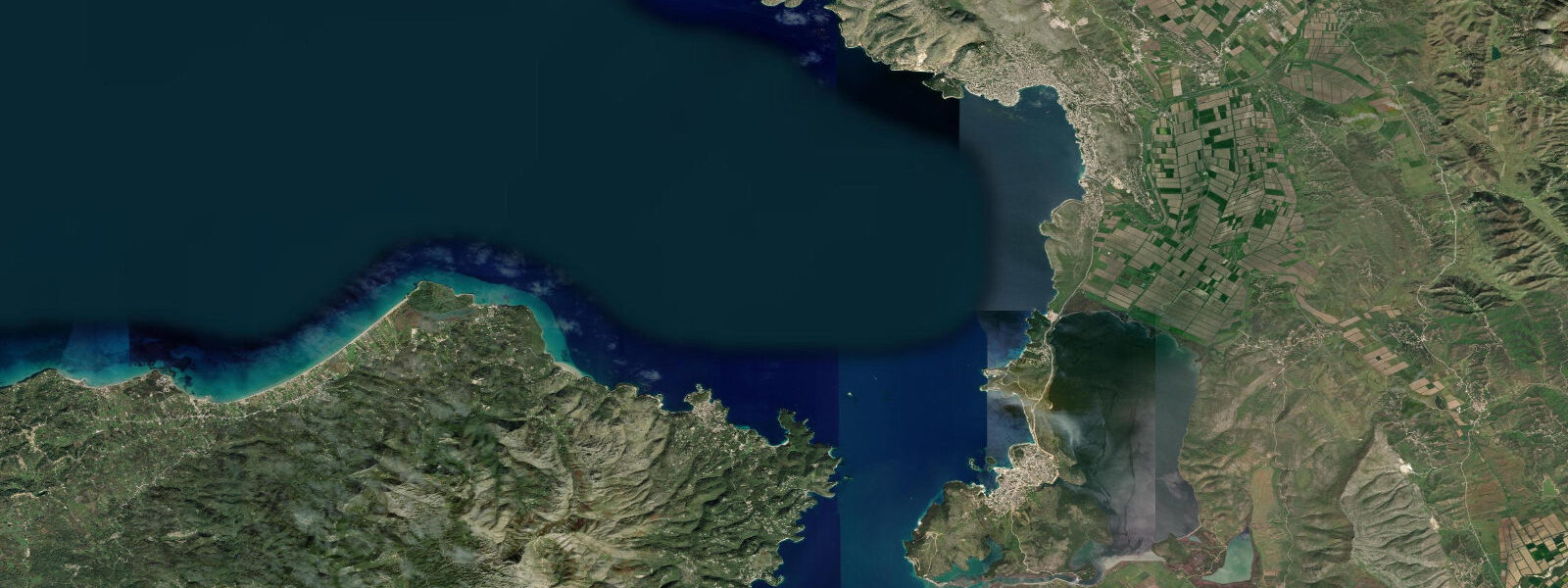
5 kilometres at its closest point near the Ksamil beaches. The fast passenger ferry between Sarandë and Corfu town runs the crossing in around 35 minutes, which makes Sarandë the most internationally accessible point on the Albanian coast and the main entry point for visitors coming from Corfu and the broader Greek island chain. The town itself occupies the hillside rising from the harbour and the flat promenade along the bay, and the morning view from the Lekursi castle on the headland above the town looks directly across the Corfu Channel to the Greek island, the proximity making the border more geographic curiosity than barrier.
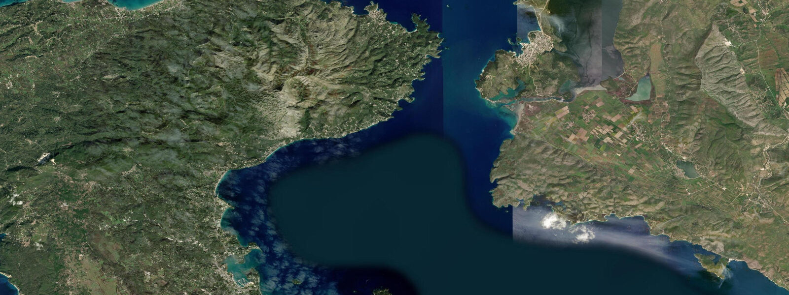
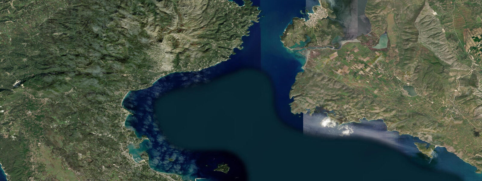
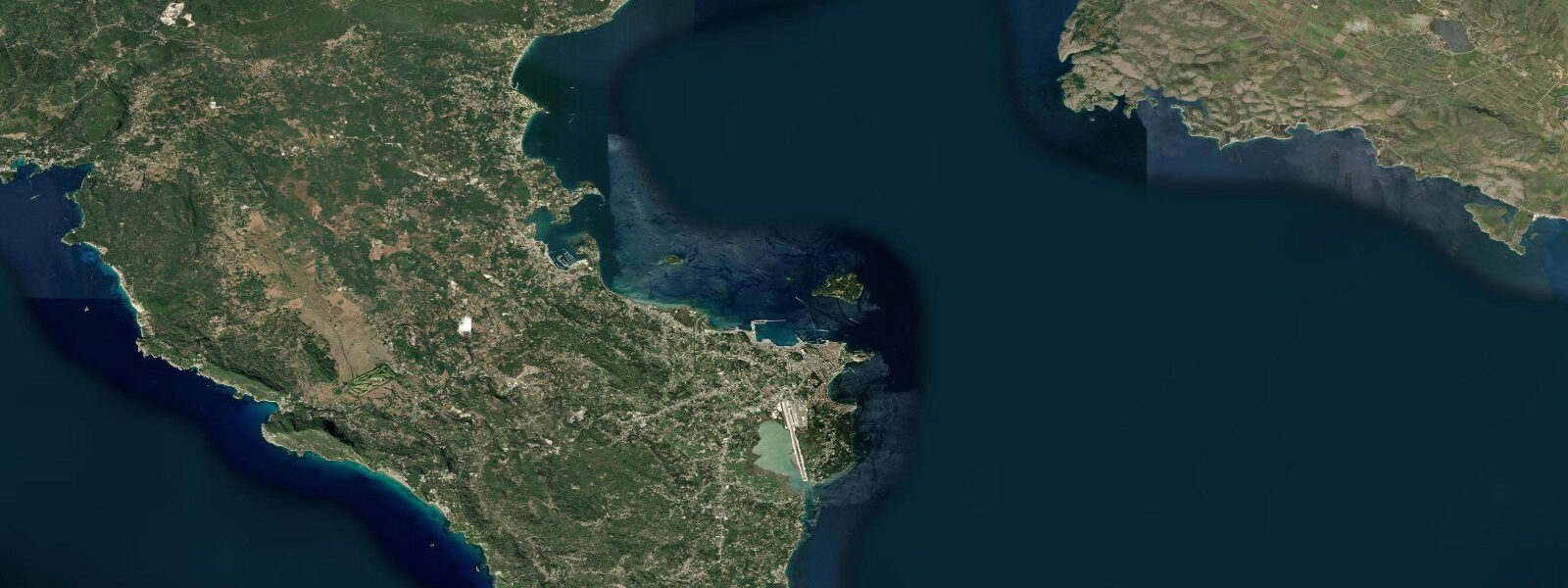
South of Sarandë, the coast runs past the Monastery of Forty Saints on the hill above the shoreline to the Ksamil peninsula and its complex of small beaches, lagoon channels, and offshore islets. The Ksamil coast is the most photographed stretch of the Albanian Riviera: clear shallow water over white sand between limestone headlands, the three uninhabited islets within swimming or kayaking distance from the main beach, and the Butrint Lake lagoon system behind the beach strip, visible from the coastal road. Butrint National Park, 18 kilometres south of Sarandë, is a UNESCO World Heritage Site — a Greek, Roman, Byzantine, and Venetian city built on a wooded promontory between Butrint Lake and the Vivari Channel, with walls, a theatre, a baptistery, and a lion gate spanning twenty-five centuries of continuous occupation.
The site is among the most complete ancient coastal settlements in the Mediterranean and receives a substantial share of the visitors who come to Sarandë specifically for the combination of coast and archaeology. 4 metres, slightly smaller than the Adriatic signal at Vlorë to the north. 2 metres.
On the shallow sandy beaches at Ksamil, the tidal range is enough to shift the tide line visibly — the lowest spring lows expose patches of seagrass and rock that are normally knee-deep, and the wide sandy shelf that extends from the main beach at Ksamil to the islets covers and uncovers perceptibly through the daily cycle. Kayakers doing the Ksamil islet circuit and the Butrint Lake circumnavigation route time the Vivari Channel transit carefully. The Vivari Channel is the narrow tidal connection between the open Ionian Sea and Butrint Lake: 20 to 30 metres wide, deeper in the centre, and the only water exchange point for the entire lake system.
The tidal current through the channel on the flood and ebb is perceptible — upstream on the flood, downstream on the ebb — and noticeably stronger than anything on the open coast, where the tidal stream is negligible given the small range. The channel transit is straightforward at slack water around the turn of tide and becomes a meaningful upstream effort on a strong ebb in a loaded sea kayak. Anglers working the Sarandë coast target seabream and mullet from the rocks below the promenade and from the small headlands south of town, timing the session to the last hour of the incoming tide and the first hour of the high.
The rocky coast below the Lekursi headland, accessible by foot from the castle or by dinghy from the harbour, holds octopus in the rock crevices and is worked by free divers who operate at low water when the shallow-water zone extends furthest. Corfu visible across the channel means that the sea-state reference many Sarandë-based operators use is the Corfu forecast from the Greek Meteorological Service — the two shores share the same weather system, and the Corfu marine forecast is more detailed and more frequently updated than what is available from the Albanian Meteorological Authority for the Sarandë coast specifically. A northerly in the Corfu Channel compresses between the two shores and can build a steep, short sea on the crossing within 90 minutes of the wind freshening — the ferry service suspends when the channel conditions deteriorate, and the suspension is driven by wave height, not tidal state.
The predictions on this page come from Open-Meteo Marine, a gridded global ocean model. 3 metres on height — model-derived, not a local gauge. 4 metres, the timing uncertainty is the more operationally relevant figure for activities like the Vivari Channel transit and the Ksamil beach-shelf timing.
Tide questions about Sarandë
Quick answers to the most common questions about tide times, range, and water access at Sarandë.
When is the next high tide at Sarandë?
The hero block at the top of this page shows the next predicted high at Sarandë in local Albanian time (CET in winter, CEST in summer, UTC+1/UTC+2). Sarandë sees a semidiurnal Ionian pattern — two highs and two lows daily, roughly 12 hours 25 minutes apart. Mean range runs about 0.2 to 0.4 metres; spring tides at new and full moons push toward the upper end and neap tides at the quarter moons compress toward 0.15 to 0.2 metres. Predictions come from Open-Meteo Marine — model-derived, typically within plus or minus 45 minutes on timing and 0.2 to 0.3 metres on height.
What is the tidal range at Sarandë, and does it affect the Ksamil beaches?
Mean tidal range at Sarandë is roughly 0.2 to 0.4 metres — the Ionian open-sea semidiurnal signal. At the Ksamil beaches south of Sarandë, the shallow sandy shelf means this range is perceptible: the tide line moves visibly across the day, and the lowest spring lows expose seagrass patches and rock outcrops that are normally under knee-deep water. For most swimmers the difference between high and low is a few metres of water at the entry point, not a limiting factor, but paddlers approaching the Ksamil islets by kayak will find the passage shallower at the lowest lows. The Vivari Channel at Butrint shows the strongest tidal current on this coast, driven by the full lake exchange through a 20-30 metre-wide gap.
Where do the tide predictions on this page come from?
Open-Meteo Marine, a free gridded global ocean model. The model derives tidal estimates from oceanographic equations across a geographic grid, not from harmonic analysis at a calibrated Albanian coast gauge. Accuracy is typically within plus or minus 45 minutes on timing and 0.2 to 0.3 metres on height — model-derived, not a local gauge. Albania does not currently operate a publicly accessible real-time coastal tide gauge network on the Ionian coast. For the Vivari Channel current timing at Butrint, the model timing uncertainty of up to 45 minutes is operationally significant for a kayak transit — allow extra margin at the slack and be prepared to wait if the current is still running.
When should I visit Butrint, and does tide affect the site?
Butrint National Park is accessible from Sarandë by taxi or organised tour, or by private boat via the Vivari Channel from the Ionian side. The archaeological site itself sits above water level on the promontory and is not affected by the tidal range. The boat approach through the Vivari Channel is the tidal variable: the channel current runs upstream on the flood and downstream on the ebb, and the transit is easiest at the slack around the turn of tide. For the road approach from Sarandë, the Butrint Lake causeway road does not flood on normal tides given the small Ionian range. Visit in the morning for the best light on the theatre and the mosaics, and to avoid the midday tour-group peak in summer.
Is it safe to kayak between Sarandë and the Ksamil islets, and does tide matter?
The open-water crossing to the Ksamil islets, roughly 0.5 to 1.5 kilometres depending on which islet, is manageable for competent sea kayakers in calm conditions. Tidal state has a minor effect — the lowest spring lows can add a few hundred metres of shallow-water paddling near the islets — but the dominant safety variable is the Corfu Channel weather. Northerly wind can build steep, short seas between the Ksamil shore and the channel within 90 minutes of freshening. The Corfu wind forecast is a reliable reference for this area. Use the tide table on this page for Vivari Channel transit timing; use the marine weather forecast for the open-water crossing decision.
6-day tide table — Sarandë
Heights relative to MSL. Predictions: Open-Meteo Marine (MeteoFrance SMOC, 0.08° grid) — heights relative to MSL (not chart datum / LAT). Model-derived.
| Day | Type | Time | Height |
|---|---|---|---|
| Fri 31 Jul | Low | 02:00 | -0.5m |
| High | 04:50 | -0.4m | |
| Low | 10:10 | -0.6m | |
| High | 16:50 | -0.3m | |
| Low | 23:10 | -0.6m | |
| Sat 01 Aug | High | 05:15 | -0.4m |
| Low | 11:00 | -0.5m | |
| High | 17:10 | -0.3m | |
| Sun 02 Aug | Low | 11:50 | -0.5m |
| High | 17:50 | -0.4m | |
| Mon 03 Aug | — | ||
| Tue 04 Aug | — | ||
| Wed 05 Aug | Low | 01:00 | -0.5m |
| High | 08:00 | -0.4m | |
| Low | 14:00 | -0.5m | |