Anzio tide times
Anzio tide forecast — heights relative to MSL.
Today's tide times for Anzio
Tide times at Anzio on Sunday, 21 June 2026: first high tide at 02:00, first low tide at 09:00, second high tide at 14:50, second low tide at 20:10. Sunrise 05:35, sunset 20:46.
Tide chart for Anzio
24-hour cosine-interpolated curve around the present moment. Heights relative to MSL. Predictions: Predictions: Open-Meteo Marine (MeteoFrance SMOC, 0.08° grid).
Sun, moon and conditions on Sun 21 Jun
Snapshot at build time — refreshes daily. Sea state from Open-Meteo Marine.
Highs and lows next 7 days
Every predicted high and low for the next week, with the daily tidal coefficient (0–120; higher = bigger swing, > 95 means stronger currents).
Other spots nearby
The three closest curated TideTurtle locations to Anzio, measured by great-circle distance.
Today's solunar windows
Solunar tradition: major periods are the ≈3h windows around moon transit and opposition; minor are ≈2h around moonrise and moonset. Pair with the local tide stage and wind for the best read.
Cycle dates near Anzio
Last spring tide on Sun 21 Jun (range 0.3m). Next spring tide on Fri 26 Jun (range 0.2m). Next neap on Sat 27 Jun.
Spring tides cluster around new and full moons (biggest swings). Neap tides land on quarter moons (smallest swings). See the spring tide and neap tide glossary entries for the why.
About tides at Anzio
A short guide to the coastline at Anzio — geography, sea state, and what the tide is actually doing under your feet.
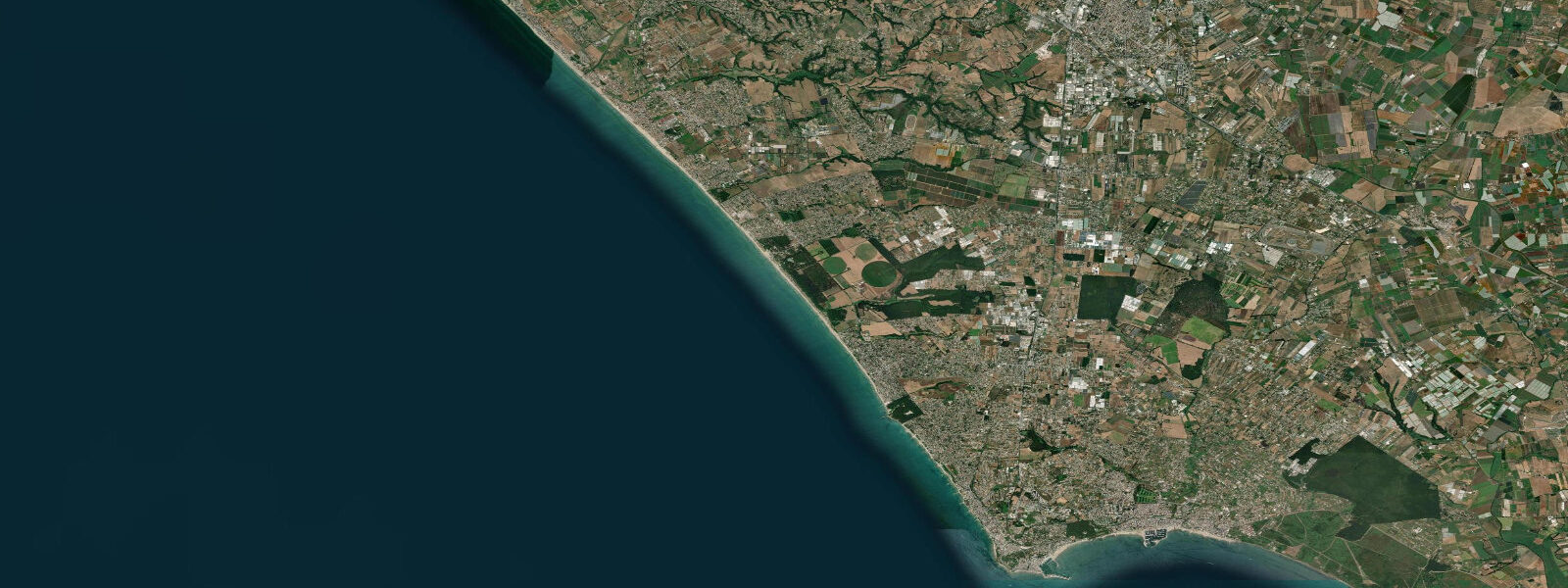
Anzio holds two identities in tension. On the surface it is a resort town 55 kilometres south of Rome — a harbour with fishing boats, seafood restaurants, beaches drawing summer Romans since the 19th century. Beneath that, it is one of the most significant military history sites in Italy: the landing beaches of Operation Shingle on 22 January 1944, where 36,000 Allied troops came ashore in the largest amphibious operation of the Italian campaign. Both identities are simultaneously present and entirely serious.
Tidal range at Anzio is approximately 0.3 metres — consistent with the Tyrrhenian coast south of Rome. The beach environment is exposed, with long-period swell from the southwest arriving with minimal shelter. The harbour provides good protection for small craft but the outer anchorage and beach are open to libeccio conditions. In summer, the morning sea is usually calm before afternoon wind builds.
The American Military Cemetery at Nettuno, 5 kilometres east of Anzio, is the primary memorial site — 7,861 graves in a formal garden on a clifftop 500 metres from the sea. The British equivalent is at Anzio itself. The beach at Anzio town is where the Allied landing craft came ashore; today it is a public sandy beach in the resort town, with no obvious physical demarcation of the event. The Beachhead Museum in Anzio provides the historical context, and the Nettuno cemetery the scale of what happened in the five months between the landing and the May 1944 breakout.
The harbour fish market runs mornings when boats return, concentrated around the Porto Innocenziano. The catch reflects the productive Tyrrhenian fishing grounds off the Lazio coast: sea bass (spigola), sea bream (orata), squid, and mullet in volume; swordfish seasonally. Several restaurants adjacent to the harbour operate the classic porto model — you pass through the market, point at what you want, it appears on the table.
Anzio is also the reputed birthplace of Nero and was the site of a significant Roman villa complex; Caligula was also born here. The remains of the Villa of Nero, partly submerged, are visible from the cape at low water on calm days — another layer on a coast that accrues history the way the Tyrrhenian accrues swell.
Predictions on this page come from Open-Meteo Marine, a gridded global ocean model. Accuracy is typically within plus or minus 45 minutes on timing and 0.2 to 0.3 metres on height — model-derived, not from a local gauge. For authoritative Italian tide data, consult ISPRA (Istituto Superiore per la Protezione e la Ricerca Ambientale) through the Rete Mareografica Nazionale.
Tide questions about Anzio
Quick answers to the most common questions about tide times, range, and water access at Anzio.
What is the tidal range at Anzio?
Anzio is on the Tyrrhenian coast of Lazio, within the Mediterranean's microtidal regime. Spring tidal range is approximately 0.3 metres. The beach is open to southwest swell and libeccio wind; sea state here is driven by wind conditions rather than tidal phase. Calm mornings typically precede afternoon sea breezes. The harbour provides shelter for berthed craft at all tide states.
What happened at the Anzio landings?
Operation Shingle launched on 22 January 1944, landing 36,000 Allied troops (US VI Corps, British 1st Infantry Division) on the beaches at Anzio and Nettuno. The objective was to outflank the German Winter Line further south and open a route to Rome. The operation stalled in a five-month battle of attrition in the beachhead perimeter before the breakout in late May 1944 and the fall of Rome on 4 June. Total Allied casualties in the Anzio campaign exceeded 43,000. The American military cemetery at Nettuno holds 7,861 graves.
Where is the WWII cemetery at Anzio?
The Sicily-Rome American Cemetery is at Nettuno, 5 kilometres east of Anzio town. It holds 7,861 American service personnel and is operated by the American Battle Monuments Commission; open daily, free entry. The Anzio War Cemetery (British and Commonwealth) is within Anzio town itself. The Beachhead Museum (Museo dello Sbarco) in Anzio provides detailed context on the landing and subsequent campaign.
Is there a good fish market at Anzio?
Yes. The fish market operates at the Porto Innocenziano (Anzio harbour) on weekday mornings when the day-boat fleet returns, typically from 07:00 to 09:00. The catch is Tyrrhenian coast standard: sea bass, sea bream, squid, and mullet year-round; swordfish in summer. Several harbour-front restaurants work directly with the boats; lunch at a porto restaurant is one of the better food experiences within 60 kilometres of Rome.
Are the tide predictions on this page suitable for navigation?
No. Predictions here come from Open-Meteo Marine, a global ocean model providing indicative tide timing and height guidance — not certified nautical data. For passage planning, berthing decisions, or any navigational purpose, use official sources: Italian Hydrographic Institute (Istituto Idrografico della Marina) publications, or ISPRA's Rete Mareografica Nazionale for observed water levels. Always verify conditions against current forecasts and official charts before putting any vessel to sea.
8-day tide table — Anzio
Heights relative to MSL. Predictions: Open-Meteo Marine (MeteoFrance SMOC, 0.08° grid) — heights relative to MSL (not chart datum / LAT). Model-derived.
| Day | Type | Time | Height |
|---|---|---|---|
| Sun 21 Jun | High | 02:00 | -0.4m |
| Low | 09:00 | -0.7m | |
| High | 14:50 | -0.5m | |
| Low | 20:10 | -0.7m | |
| Mon 22 Jun | High | 03:10 | -0.4m |
| Low | 10:00 | -0.6m | |
| High | 16:00 | -0.5m | |
| Low | 21:50 | -0.6m | |
| Tue 23 Jun | High | 04:10 | -0.4m |
| Low | 11:00 | -0.6m | |
| Wed 24 Jun | High | 05:00 | -0.4m |
| Thu 25 Jun | Low | 00:00 | -0.6m |
| High | 19:10 | -0.4m | |
| Fri 26 Jun | Low | 13:00 | -0.6m |
| High | 20:00 | -0.4m | |
| Sat 27 Jun | Low | 01:50 | -0.5m |
| High | 07:45 | -0.4m | |
| Sun 28 Jun | Low | 01:00 | -0.5m |