Tel Aviv-Yafo tide times
Tel Aviv-Yafo tide forecast — heights relative to MSL.
Tide chart for Tel Aviv-Yafo
24-hour cosine-interpolated curve around the present moment. Heights relative to MSL. Predictions: Predictions: Open-Meteo Marine (MeteoFrance SMOC, 0.08° grid).
Sun, moon and conditions on Sun 26 Jul
Snapshot at build time — refreshes daily. Sea state from Open-Meteo Marine.
Highs and lows next 7 days
Every predicted high and low for the next week, with the daily tidal coefficient (0–120; higher = bigger swing, > 95 means stronger currents).
Other spots nearby
The three closest curated TideTurtle locations to Tel Aviv-Yafo, measured by great-circle distance.
Today's solunar windows
Solunar tradition: major periods are the ≈3h windows around moon transit and opposition; minor are ≈2h around moonrise and moonset. Pair with the local tide stage and wind for the best read.
About tides at Tel Aviv-Yafo
A short guide to the coastline at Tel Aviv-Yafo — geography, sea state, and what the tide is actually doing under your feet.
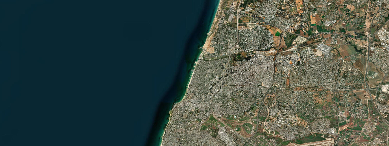
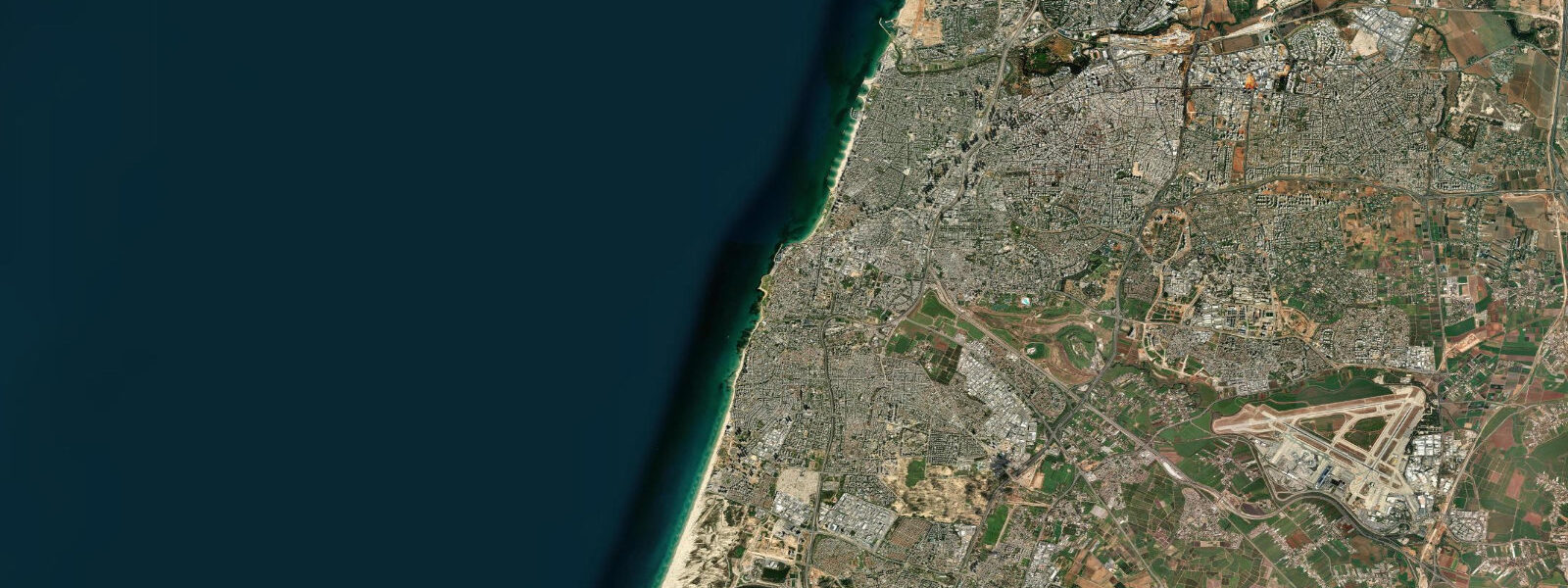
Tel Aviv-Yafo wraps the central Israeli Mediterranean coast at the foot of the coastal plain that runs from the Lebanese border in the north south to the Gaza line. The modern city was founded in 1909 on the sand dunes immediately north of the ancient port of Jaffa (Yafo), and the two amalgamated under the joint name in 1950. Tel Aviv beach runs continuously for about fourteen kilometres from the Reading Beach at the Yarkon river mouth in the north south past Hilton, Gordon, Frishman, and Bograshov to the working port of Jaffa and the Bat Yam line beyond.
5 metres and neaps dropping near flat. The astronomical signal is genuinely tiny because the Mediterranean connects to the Atlantic only through the narrow Strait of Gibraltar and the Eastern Mediterranean is the far end of an already weak tidal system. What matters more on a day-to-day basis is meteorological tide.
Westerly storms in winter can lift water levels 30 to 50 centimetres above predicted on sustained events and build the surf at Hilton Beach, the Bograshov breaks, and the Maravi point break further south. The defining cultural and historical feature is the Jaffa fishing port, one of the oldest continuously operating ports in the world. Phoenician traders worked the harbour three thousand years ago, the cedar of Lebanon used in the construction of the First and Second Temples passed through Jaffa according to the biblical Books of Chronicles and Ezra, the prophet Jonah departed for Tarshish from Jaffa in the Book of Jonah, and the Saint Peter Church above the working port marks the early-Christian pilgrimage tradition that traces to the Acts of the Apostles.
The harbour itself is small by modern standards but the working fishing fleet still ties up at the Jaffa harbour each morning and the catch is auctioned at the dockside. The long Tel Aviv beach corridor narrows by a few metres at high water and widens at low; the Tayelet boardwalk runs continuously from the Tel Aviv port at the northern edge to Jaffa. Sailing fleets out of the Tel Aviv marina, the working ferry industry along the coast, the night-fishing scene at Reading Beach, and the surf calendar at Hilton, Bograshov, and Maravi all read the wider weather pattern more than the tide table.
The Israel Oceanographic and Limnological Research institute (IOLR) publishes the authoritative water-level data; Open-Meteo Marine drives the gridded predictions on this page.
Tide questions about Tel Aviv-Yafo
Quick answers to the most common questions about tide times, range, and water access at Tel Aviv-Yafo.
When is the next high tide at Tel Aviv?
The hero block shows the next high tide at the Tel Aviv coast in local Israel time (IST/IDT with DST). The 7-day table covers all daily highs and lows. The Eastern Mediterranean micro-tide pattern produces two small highs and two small lows of comparable size each day, but the astronomical signal is tiny enough that wind and pressure dominate day-to-day water-level variation.
What's the typical tide range at Tel Aviv?
Mean range at the Tel Aviv coast is about 0.3 metres — one of the smallest open-ocean tide signals in the world. Spring tides reach close to 0.5 metres and neaps drop near flat. The Eastern Mediterranean is the far end of the Mediterranean tidal system that connects to the Atlantic only through the narrow Strait of Gibraltar, so the astronomical forcing is small enough that westerly winter storms (which can lift water 30 to 50 centimetres) dominate the working day-to-day signal.
Where do these tide predictions come from?
Open-Meteo Marine, a gridded global ocean model. Useful for planning Tel Aviv beach corridor windows, Jaffa harbour photography sessions, the Hilton and Bograshov surf timing during westerly winter storms, and the night-fishing scene at Reading Beach. For authoritative Israeli water-level data, the Israel Oceanographic and Limnological Research institute (IOLR) operates the gauge network and publishes the official records.
What's the historical significance of Jaffa as one of the oldest working ports in the world?
Jaffa (Yafo) has operated as a working port for at least three thousand years. Phoenician traders shipped from Jaffa, the cedar of Lebanon used in the construction of the First and Second Temples in Jerusalem passed through the harbour according to the biblical Books of Chronicles and Ezra, the prophet Jonah departed for Tarshish from Jaffa in the Book of Jonah, and the early-Christian pilgrimage tradition that traces to the Acts of the Apostles centres on the Saint Peter Church above the harbour. The modern fishing fleet still ties up at the Jaffa harbour each morning and the catch is auctioned at the dockside.
Is this safe to use for navigation?
No. For piloting in or out of the Tel Aviv marina, the Jaffa fishing harbour, or the Ashdod and Haifa commercial ports up and down the Israeli coast use the Israel Oceanographic and Limnological Research institute (IOLR) authoritative water-level records, the Israel Ports Company pilotage guidance, and the Israel Meteorological Service marine forecasts during winter storm events. The astronomical signal is small enough that meteorological forcing dominates day-to-day water-level variation.
8-day tide table — Tel Aviv-Yafo
Heights relative to MSL. Predictions: Open-Meteo Marine (MeteoFrance SMOC, 0.08° grid) — heights relative to MSL (not chart datum / LAT). Model-derived.
| Day | Type | Time | Height |
|---|---|---|---|
| Sun 26 Jul | — | ||
| Mon 27 Jul | Low | 03:10 | -0.3m |
| High | 09:42 | -0.1m | |
| Low | 15:50 | -0.4m | |
| High | 22:00 | -0.2m | |
| Tue 28 Jul | Low | 03:45 | -0.4m |
| Wed 29 Jul | High | 10:42 | -0.0m |
| Low | 17:00 | -0.4m | |
| High | 23:10 | -0.1m | |
| Thu 30 Jul | Low | 04:45 | -0.4m |
| Fri 31 Jul | High | 11:42 | 0.0m |
| Low | 18:00 | -0.4m | |
| Sat 01 Aug | High | 00:00 | -0.1m |
| Low | 06:00 | -0.4m | |
| High | 12:15 | -0.0m | |
| Sun 02 Aug | Low | 02:00 | -0.1m |