Herzliya, Tel Aviv District tide times
Herzliya, Tel Aviv District tide forecast — heights relative to MSL.
Today's tide times for Herzliya, Tel Aviv District
Tide times at Herzliya, Tel Aviv District on Friday, 19 June 2026: first high tide at 13:50. Sunrise 05:34, sunset 19:49.
Tide chart for Herzliya, Tel Aviv District
24-hour cosine-interpolated curve around the present moment. Heights relative to MSL. Predictions: Predictions: Open-Meteo Marine (MeteoFrance SMOC, 0.08° grid).
Sun, moon and conditions on Fri 19 Jun
Snapshot at build time — refreshes daily. Sea state from Open-Meteo Marine.
Highs and lows next 7 days
Every predicted high and low for the next week, with the daily tidal coefficient (0–120; higher = bigger swing, > 95 means stronger currents).
Other spots nearby
The three closest curated TideTurtle locations to Herzliya, Tel Aviv District, measured by great-circle distance.
Today's solunar windows
Solunar tradition: major periods are the ≈3h windows around moon transit and opposition; minor are ≈2h around moonrise and moonset. Pair with the local tide stage and wind for the best read.
About tides at Herzliya, Tel Aviv District
A short guide to the coastline at Herzliya, Tel Aviv District — geography, sea state, and what the tide is actually doing under your feet.
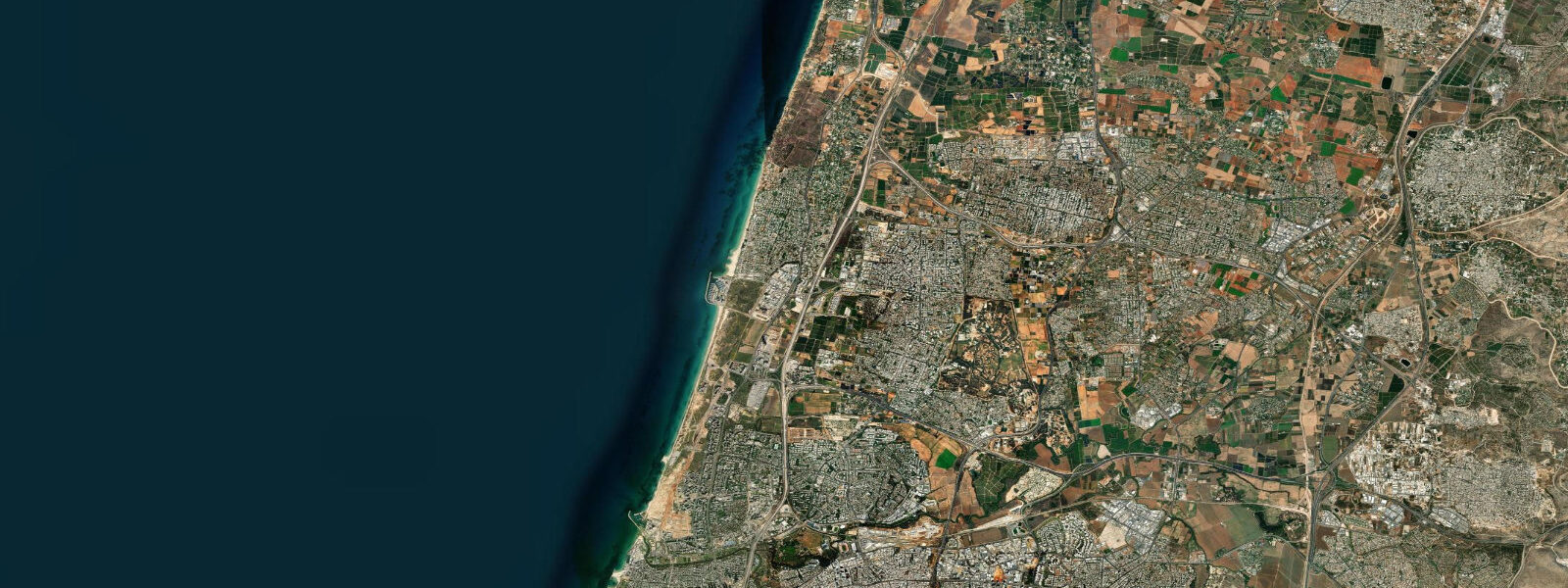
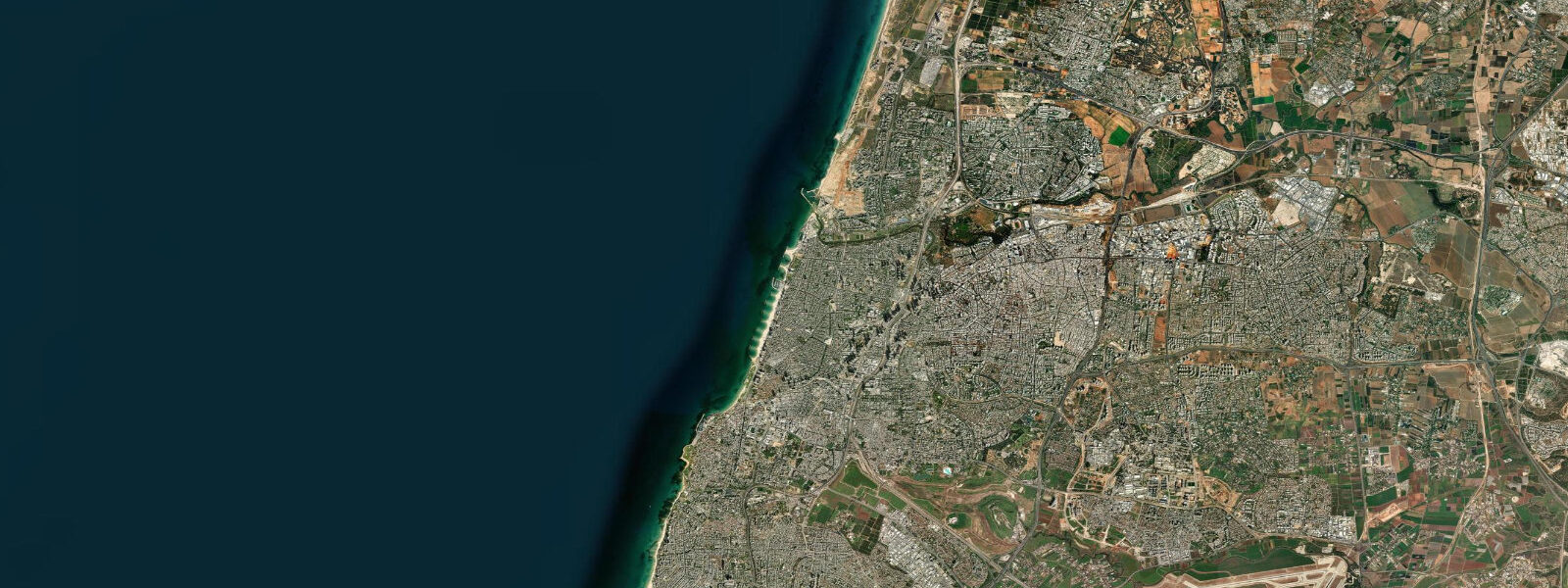
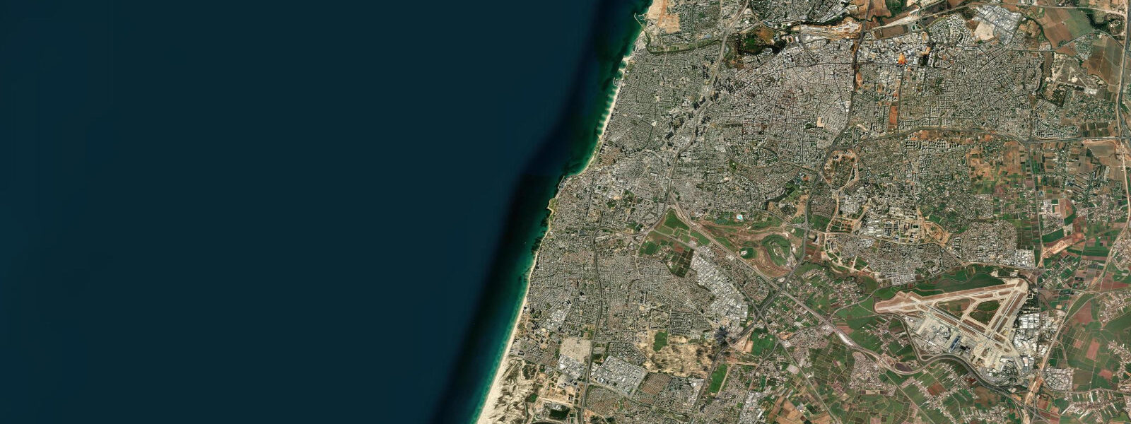
Herzliya sits on the eastern Mediterranean coast roughly 15 km north of central Tel Aviv, where the urban sprawl of the Dan metropolitan area meets open shoreline. The city runs two distinct coastal personalities in parallel: a commercial marina district built for wealthy boat owners and international tech workers, and a long public beach backed by low dunes and apartment towers that serves everyone else.
The eastern Mediterranean tidal regime is one of the smallest in the world. Mean tidal range at Herzliya runs 0.1–0.3 m — mixed semidiurnal, meaning two high waters and two low waters per day with unequal heights. In practice, the astronomical tide is almost undetectable against the background of meteorological sea-level variation driven by the Etesian winds and passing low-pressure systems. Winter storm surges can temporarily raise sea level by 0.3–0.5 m above mean, which matters at Herzliya because the beach gradient is gentle: even a modest sea-level rise pushes water significantly further up the sand.
Herzliya Marina is the dominant coastal infrastructure. Completed in the 1990s and expanded since, the marina holds around 750 berths and is the largest pleasure-craft facility on the Israeli Mediterranean coast. The harbour entrance runs roughly north-south; the breakwaters create a calm interior regardless of the prevailing northwest sea. Diving and snorkelling trip operators depart from the marina's commercial quay, along with dolphin-watching vessels that run targeted excursions when common bottlenose dolphins are working the shelf edge 5–10 km offshore.
The dive sites along this stretch of coast are not reef systems — the eastern Mediterranean substrate is predominantly sandy with isolated rocky outcrops — but the archaeology makes up the difference. Byzantine and Crusader-era anchors, ceramic amphorae, and iron cannon lie in 8–15 m of water on the sandy seafloor between the marina and Apollonia to the north. Visibility averages 10–20 m in summer; winter plankton blooms and post-storm turbidity can drop this to 3–5 m. The Israel Antiquities Authority requires dive permits for sites within designated archaeological zones; check with the marina operators before diving independently.
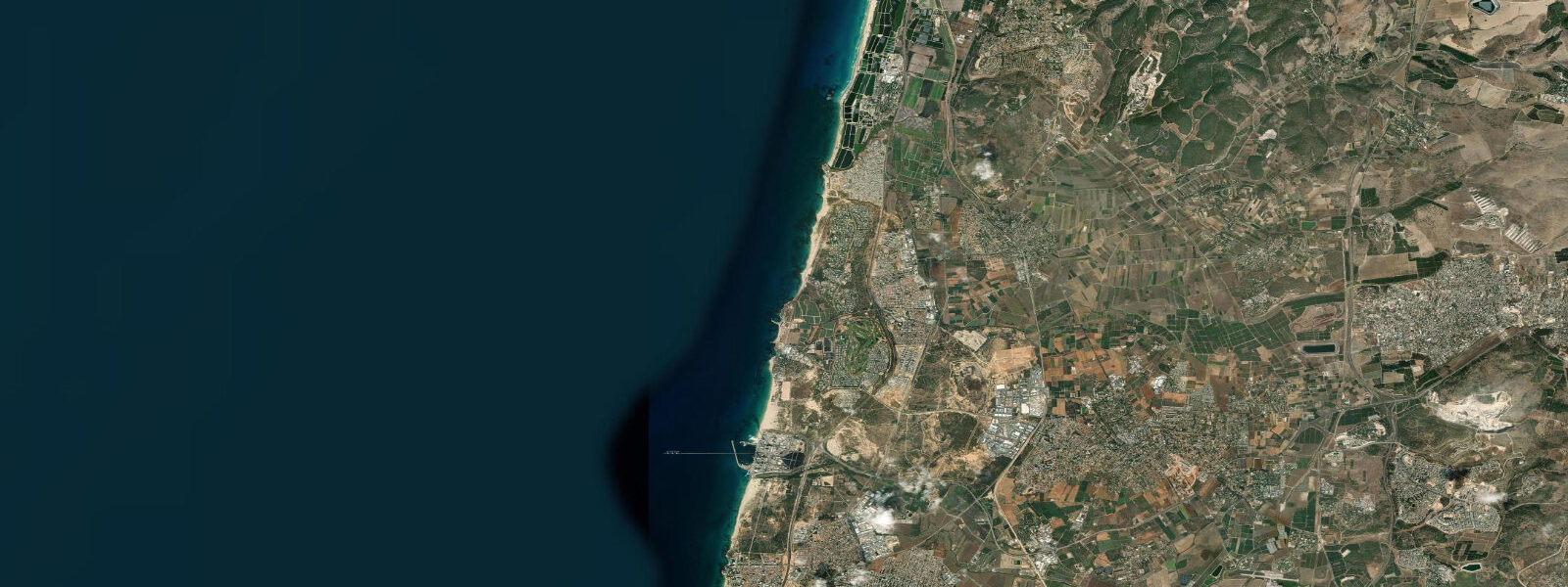
Apolonia National Park occupies a coastal cliff 2 km north of the marina. The site preserves the remains of Roman Arsuf, a fortified town that passed through Byzantine, Arab, Crusader, and Mamluk hands before being abandoned in the thirteenth century. The cliff here is Kurkar — an aeolian calcarenite formed from cemented coastal dunes during lower sea-level stands — and it erodes actively. At low water, the wave-cut platform at the base of the Apollonia cliff is partially accessible from the beach; you can walk northward from the main Herzliya beach at spring low conditions and reach the platform below the ruins. The archaeology underfoot on that platform is incidental and unexcavated: pottery sherds and worked stone are visible in the rock face. Do not remove anything; the site is protected.
Beach erosion at Herzliya is a documented, ongoing problem. Studies of the Israeli Mediterranean shoreline show the Herzliya beach receding at roughly 1–2 m per decade in the most exposed sections. The cause is a combination of reduced sediment supply from coastal engineering upstream (jetties and marina structures that interrupt longshore drift), sea-level rise at the eastern Mediterranean rate of approximately 3 mm/year, and increasing storm frequency in winter. The municipality has periodically nourished the beach with dredged sand from the marina approach channel, which provides temporary relief but not a permanent solution.
Winter at Herzliya — December through February — brings northwest swells generated by cold fronts crossing the central Mediterranean. Significant wave heights of 2–3 m are common in exposed conditions; peaks of 4–5 m occur in major storm events. These conditions are relevant to anglers who fish the breakwaters and rocky sections north of the marina: fishing from the Apollonia cliff base is extremely dangerous in winter swell and is prohibited at the national park during high-surf advisories. The same swell period concentrates sand in nearshore bars, which shift significantly between seasons. Sandbar position in summer (determined by the relatively calm sea) differs substantially from winter configuration.
Family beach use concentrates on the central Herzliya beach between the marina breakwater and the city's northern residential area. Lifeguard service runs from April through October. The beach gradient is gentle — suitable for young children — and the microtidal regime means parents do not need to track tidal state for basic safety planning. That said, afternoon sea breezes from the northwest routinely build 0.5–1.0 m chop by 14:00, which makes the water rougher for small swimmers than the morning calm would suggest.
The Yarkon river mouth lies 8 km south of Herzliya at the northern edge of Tel Aviv. The Yarkon is the main freshwater outflow to the Israeli Mediterranean coast; its discharge plume affects turbidity and salinity along the Herzliya shoreline after significant rain events. Following heavy winter rainfall, a band of discoloured, lower-salinity water can extend 5–8 km offshore from the river mouth, reaching the Herzliya beach zone within 24–48 hours depending on current direction.
For photographers, the Apollonia cliff at dawn is the shot: Kurkar columns and wall stubs catching low-angle light against the flat Mediterranean. Sunset from the marina breakwater points southwest over open water without obstruction.
Tide data for Herzliya, Tel Aviv District comes from the Open-Meteo Marine API, a gridded model product. Timing accuracy is ±45 minutes, height accuracy ±0.3 m — usable for trip planning, not for navigation.
Tide questions about Herzliya, Tel Aviv District
Quick answers to the most common questions about tide times, range, and water access at Herzliya, Tel Aviv District.
What is the tidal range at Herzliya and does it affect beach activities?
The mean tidal range at Herzliya is 0.1–0.3 m — one of the smallest tidal regimes in the world. Two high waters and two low waters occur daily, but the height difference between them is rarely visible to the eye against the background noise of wind-driven sea-level variation. For beach families, this means the water's edge position changes very little with tidal state; the bigger driver of waterline position is wave height and wind direction. For divers accessing archaeological sites below Apollonia cliff, low spring conditions do expose more of the wave-cut platform — worthwhile checking tide predictions to time a morning visit.
Can I access the wave-cut platform below Apollonia National Park at low tide?
At low spring water, the wave-cut platform beneath the Apollonia cliff is partially accessible by walking north along the Herzliya beach from the main beach area, approximately 2 km. The platform exposes worked stone and pottery sherds eroding from the cliff face — Crusader and earlier material. The site is protected under Israeli antiquities law; do not remove anything. In winter (December–February), northwest swell makes this section of coast dangerous and the national park closes beach access during high-surf advisories. Spring and autumn mornings at low water offer the best combination of access and calm conditions.
What dive sites are accessible from Herzliya Marina?
Several archaeological dive sites lie in 8–15 m of water between the marina and Apollonia cliff, including Byzantine and Crusader-era anchors, ceramic amphorae, and iron cannon on a sandy seafloor. Visibility averages 10–20 m in summer; winter plankton blooms reduce this to 3–5 m. Dive trip operators work from the marina commercial quay — they handle the Israel Antiquities Authority permit requirements for designated zones. Independent divers should confirm permit status before entering archaeological areas. Dolphin-watching excursions also run from the marina when common bottlenose dolphins are working the shelf edge 5–10 km offshore.
Is beach erosion a problem at Herzliya and what causes it?
Beach erosion at Herzliya is measurable and ongoing, with sections of shoreline receding approximately 1–2 m per decade. The main drivers are interrupted longshore sediment transport — marina breakwaters and jetties block sand moving southward along the coast — eastern Mediterranean sea-level rise of around 3 mm per year, and increasing winter storm frequency. The municipality has periodically nourished the beach with dredged sand, providing temporary relief. Visitors in late winter, after storm season, will notice the beach is noticeably narrower than in September at the end of summer.
When is the best time to fish from the Herzliya breakwaters?
The marina breakwaters and the rocky sections north toward Apollonia are productive for sea bream, mullet, and Mediterranean bass, particularly at dawn and dusk when fish are active in the shallow margins. Autumn (October–November) is the peak local fishing season before winter storms arrive. Tidal state has minimal effect on fishing here given the 0.1–0.3 m range; water clarity and wave height matter more. Avoid fishing from the Apollonia cliff base and the exposed northern breakwater sections during December–February, when northwest swell regularly exceeds 2 m and the national park restricts access during high-surf advisories.
8-day tide table — Herzliya, Tel Aviv District
Heights relative to MSL. Predictions: Open-Meteo Marine (MeteoFrance SMOC, 0.08° grid) — heights relative to MSL (not chart datum / LAT). Model-derived.
| Day | Type | Time | Height |
|---|---|---|---|
| Fri 19 Jun | High | 13:50 | -0.2m |
| Sat 20 Jun | — | ||
| Sun 21 Jun | Low | 09:10 | -0.5m |
| Mon 22 Jun | — | ||
| Tue 23 Jun | High | 18:00 | -0.3m |
| Wed 24 Jun | Low | 13:00 | -0.4m |
| High | 19:10 | -0.3m | |
| Thu 25 Jun | Low | 14:00 | -0.4m |
| High | 20:10 | -0.3m | |
| Fri 26 Jun | Low | 02:00 | -0.4m |