Bat Yam, Tel Aviv District tide times
Bat Yam, Tel Aviv District tide forecast — heights relative to MSL.
Today's tide times for Bat Yam, Tel Aviv District
Tide times at Bat Yam, Tel Aviv District on Friday, 19 June 2026: first high tide at 03:00, first low tide at 07:15, second high tide at 13:50. Sunrise 05:34, sunset 19:49.
Tide chart for Bat Yam, Tel Aviv District
24-hour cosine-interpolated curve around the present moment. Heights relative to MSL. Predictions: Predictions: Open-Meteo Marine (MeteoFrance SMOC, 0.08° grid).
Sun, moon and conditions on Fri 19 Jun
Snapshot at build time — refreshes daily. Sea state from Open-Meteo Marine.
Highs and lows next 7 days
Every predicted high and low for the next week, with the daily tidal coefficient (0–120; higher = bigger swing, > 95 means stronger currents).
Other spots nearby
The three closest curated TideTurtle locations to Bat Yam, Tel Aviv District, measured by great-circle distance.
Today's solunar windows
Solunar tradition: major periods are the ≈3h windows around moon transit and opposition; minor are ≈2h around moonrise and moonset. Pair with the local tide stage and wind for the best read.
About tides at Bat Yam, Tel Aviv District
A short guide to the coastline at Bat Yam, Tel Aviv District — geography, sea state, and what the tide is actually doing under your feet.
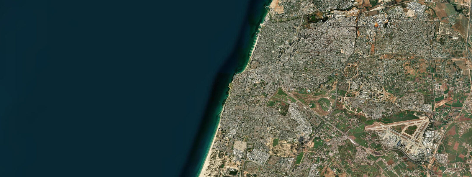
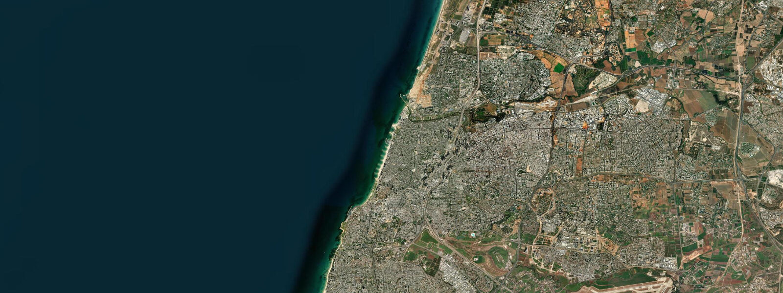
Bat Yam — "Daughter of the Sea" in Hebrew — sits immediately south of Jaffa (Yafo) on the continuous sandy coastline that runs from the Tel Aviv Port southward through Jaffa, Bat Yam, and on toward Rishon LeZion. The city is dense, working-class compared to its neighbours, and genuinely attached to its beach in a way that more affluent coastal cities sometimes perform rather than practise. On a Friday afternoon the Bat Yam beach promenade is full.
The tidal regime is identical to the rest of the Israeli Mediterranean coast: mixed semidiurnal with a mean range of 0.1–0.3 m. The gravitational tide is real but small enough to be ignored for most practical purposes. What moves the water at Bat Yam is weather — northwest swells in winter, afternoon sea breezes building chop through summer afternoons, and occasional southwesterly storms that generate confused cross-swell conditions.
The beach at Bat Yam is wide and sandy, backed by a promenade and, further inland, apartment towers that climb the shallow coastal ridge. At low spring conditions the exposed sandbar extends 30–50 m further from the shoreline than at high water, creating a wide, shallow paddling zone that is popular with families. The gradient is gentle throughout. During summer the beach is divided into designated sections: general public, religious (gender-separated), and one section managed by the municipality for families with young children.
The Bat Yam Reef at the southern end of the beach is the most significant natural feature for water users. The reef is a rocky limestone outcrop that breaks the surface at the lowest tidal conditions and remains submerged — just — at mean high water. At low spring tide, with calm conditions, 1–2 m visibility is achievable over the reef top for snorkelling; fish populations include wrasse, damselfish, and occasional octopus working the rocky margins. The reef is recognised as a snorkelling site by the municipality and is accessible from the beach without a boat. Entry and exit over the rocky edge can be difficult; wearing water shoes and entering when swell is below 0.5 m is strongly advised.
The Bat Yam jetty at the southern end of the main beach is a concrete structure extending roughly 100 m into the sea. The jetty was built to stabilise the shoreline and interrupt southward longshore drift; it has succeeded in accumulating sand on the northern (Bat Yam) side while accelerating erosion on the southern side — a pattern common to single jetty structures on drift-dominated coasts. The jetty creates a subtle current on the ebb: water that has built up on the northern side drains southward past the jetty tip as wind and wave conditions shift. This current, combined with the sandbar geometry immediately north of the jetty, creates the surf conditions that Bat Yam is known to local surfers.
The optimal surf window at the Bat Yam jetty is 1–2 hours before high water on northwest swell days (December–February). As the rising tide covers the inner sandbar, the wave form over it improves — a pattern common to beach breaks where shallow-water wave steepening is the primary breaking mechanism. The swell source for Israel's Mediterranean coast is northwest, generated by cold fronts crossing the central Mediterranean; the fetch is long enough to produce organised swell with periods of 8–12 seconds in good storm sequences. Bat Yam faces west-northwest, making it one of the better-exposed stretches of the Israeli coast for this swell window. Surfing here is not a mass-market activity — the wave quality is inconsistent and the season is short — but on the right winter day, the break at the jetty is real.
The promenade above the beach hosts the International Sculpture Symposium works, a collection of large-scale stone and metal pieces installed by international artists through a series of annual residency events. The sculptures are placed along the promenade at irregular intervals, anchored in the paving or on low plinths. The quality is uneven — as permanent public sculpture from open-call residencies tends to be — but several pieces are genuinely good, and the cumulative effect of walking the promenade past two decades of accumulated work is interesting. The older pieces have weathered visibly, which gives some of them more character than they had at installation.
Jaffa (Yafo) is visible to the north, its old city sitting on a low limestone promontory that has been occupied continuously for over 4,000 years. The silhouette of the Jaffa clock tower and the domed mosque above the old port are recognisable from the Bat Yam beach — a 3.5 km walk north along the promenade brings you to the old port. The Jaffa port area is now primarily a food and arts destination rather than a working harbour; the fish market that operated there for centuries is gone, though a small fishing fleet still operates from a sheltered basin south of the promontory.
For photographers, the Jaffa promontory in the northern background provides a consistent compositional anchor from the Bat Yam beach, particularly in the hour before sunset when the promontory lights up and the sea goes flat between wave sets. The reef at low water in morning calm light is worth the 06:00 start.
Anglers work the jetty year-round. The jetty tip concentrates pelagic fish on summer evenings — bonito and mackerel follow baitfish pushed up by the jetty's flow disturbance — and the rocky base attracts sea bream and mullet. Tidal state has minimal effect on catch; current direction driven by wind is more relevant.
Tide data for Bat Yam, Tel Aviv District comes from the Open-Meteo Marine API, a gridded model product. Timing accuracy is ±45 minutes, height accuracy ±0.3 m — usable for trip planning, not for navigation.
Tide questions about Bat Yam, Tel Aviv District
Quick answers to the most common questions about tide times, range, and water access at Bat Yam, Tel Aviv District.
What is the tidal range at Bat Yam and does it affect beach use?
The mean tidal range at Bat Yam is 0.1–0.3 m — the standard eastern Mediterranean microtidal regime. The waterline moves very little with tidal state; weather and wave height have far more influence on where the water sits on the beach. The one practical exception is the Bat Yam Reef at the southern end of the beach: at low spring conditions the reef top is closer to the surface and snorkelling visibility over the rocks improves. For most beach users — swimmers, families, paddlers — the tide is not a planning variable.
How do I access Bat Yam Reef for snorkelling?
Bat Yam Reef is a limestone rocky outcrop at the southern end of the main beach, accessible from shore without a boat. Enter from the beach at the reef's landward end; water shoes are essential as the entry and exit involve rocky surfaces. The reef is shallowest — and snorkelling easiest — at low spring water when the top is nearly breaking the surface. Swell below 0.5 m is required for comfortable conditions; check the sea state before entering. The reef holds wrasse, damselfish, and octopus in crevices along the rocky margins. Avoid high-swell days in winter when surge makes the rocky entry dangerous.
When does the surf break at the Bat Yam jetty work best?
The jetty break responds to northwest swell arriving from cold fronts crossing the central Mediterranean, primarily December through February. The optimal window is 1–2 hours before high water, when rising tide covers the inner sandbar and wave form improves. Swell periods of 8–12 seconds with heights of 1.5–2.5 m produce the most consistent break. The jetty faces west-northwest, which is a good orientation for the dominant winter swell direction. Swell forecasts from Windy or Surfline provide better planning information than tide tables for this spot.
What are the International Sculpture Symposium works on the Bat Yam promenade?
The sculptures are a collection of large-scale stone and metal pieces created by international artists through annual residency programs run by the Bat Yam municipality over several decades. They are placed along the beach promenade at irregular intervals — some anchored in the paving, some on low plinths. The collection spans a wide range of styles and materials; older pieces have weathered into the coastal environment more visibly than recent additions. Walking the full promenade from the northern beach access to the jetty covers most of the works in about 30 minutes.
How far is Jaffa old town from Bat Yam beach and how do I get there?
The Jaffa (Yafo) promontory is approximately 3.5 km north of the main Bat Yam beach. The continuous beach promenade connects Bat Yam directly to Jaffa — a 45-minute walk on flat paving with the sea to your left. The old port area and the elevated old city with its clock tower and mosque are the destination; the Jaffa flea market and restaurant district are immediately inland from the port. Alternatively, the coastal bicycle path runs the same route and is a faster option in the middle of the day when foot traffic is high. Allow 2–3 hours to walk, explore, and return.
8-day tide table — Bat Yam, Tel Aviv District
Heights relative to MSL. Predictions: Open-Meteo Marine (MeteoFrance SMOC, 0.08° grid) — heights relative to MSL (not chart datum / LAT). Model-derived.
| Day | Type | Time | Height |
|---|---|---|---|
| Fri 19 Jun | High | 03:00 | -0.3m |
| Low | 07:15 | -0.5m | |
| High | 13:50 | -0.2m | |
| Sat 20 Jun | Low | 08:10 | -0.5m |
| High | 14:50 | -0.3m | |
| Sun 21 Jun | — | ||
| Mon 22 Jun | Low | 23:00 | -0.4m |
| Tue 23 Jun | High | 18:00 | -0.3m |
| Wed 24 Jun | Low | 13:00 | -0.4m |
| High | 19:10 | -0.3m | |
| Thu 25 Jun | Low | 14:00 | -0.4m |
| High | 20:10 | -0.3m | |
| Fri 26 Jun | Low | 02:00 | -0.4m |