Dublin (North Wall) tide times
Dublin (North Wall) tide forecast — heights relative to MSL.
Today's tide times for Dublin (North Wall)
Tide times at Dublin (North Wall) on Sunday, 26 July 2026: first high tide at 01:00, first low tide at 03:33, second high tide at 10:27, second low tide at 15:51, third high tide at 22:35. Sunrise 05:29, sunset 21:31.
Tide chart for Dublin (North Wall)
24-hour cosine-interpolated curve around the present moment. Heights relative to MSL. Predictions: Predictions: Open-Meteo Marine (MeteoFrance SMOC, 0.08° grid).
Sun, moon and conditions on Sun 26 Jul
Snapshot at build time — refreshes daily. Sea state from Open-Meteo Marine.
Highs and lows next 7 days
Every predicted high and low for the next week, with the daily tidal coefficient (0–120; higher = bigger swing, > 95 means stronger currents).
Other spots nearby
The three closest curated TideTurtle locations to Dublin (North Wall), measured by great-circle distance.

Today's solunar windows
Solunar tradition: major periods are the ≈3h windows around moon transit and opposition; minor are ≈2h around moonrise and moonset. Pair with the local tide stage and wind for the best read.
Cycle dates near Dublin (North Wall)
Next spring tide on Sat 01 Aug (range 3.4m). Last neap on Sun 26 Jul.
Spring tides cluster around new and full moons (biggest swings). Neap tides land on quarter moons (smallest swings). See the spring tide and neap tide glossary entries for the why.
About tides at Dublin (North Wall)
A short guide to the coastline at Dublin (North Wall) — geography, sea state, and what the tide is actually doing under your feet.
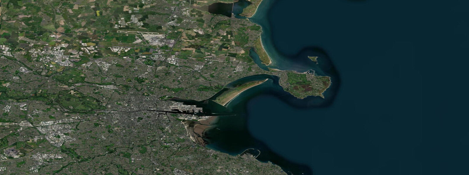
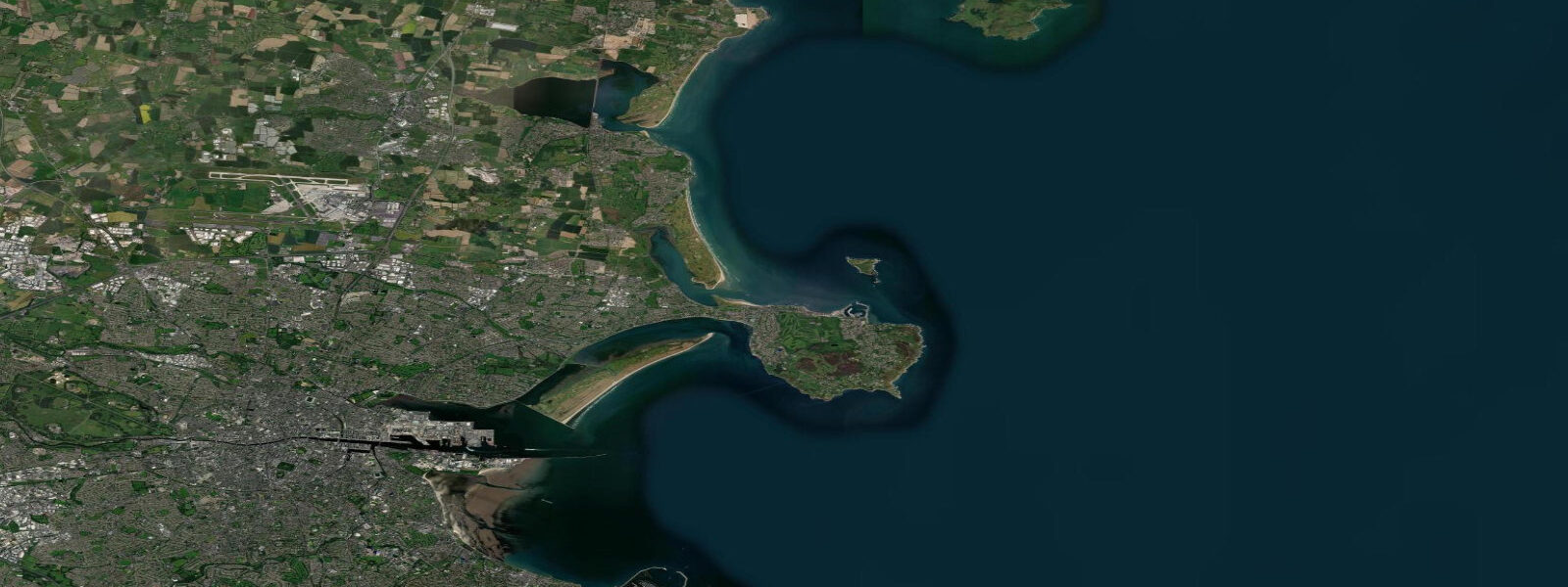
Dublin sits at the mouth of the Liffey on Ireland's east coast, with Dublin Bay opening south toward Dún Laoghaire and Howth Head closing the bay to the north. The tide here runs the Irish Sea signature: cleanly semidiurnal, two highs and two lows about twelve and a half hours apart, with a moderately large height swing because the Irish Sea amphidromic system places Dublin reasonably close to the maximum-amplitude line. 7 on neaps.
The Liffey itself flows through the centre of the city and the tide reaches well past the Custom House on each flood, with the river current adding to the ebb. The long sand at Dollymount and Sandymount widens by tens of metres at low water, and the rocky shore at Howth Head and Dalkey Island swings through the full range. Bull Island in the bay is a UNESCO Biosphere Reserve and the intertidal flats there support the largest population of Brent geese in Ireland — birds that follow the tide cycle to feed.
Walkers reading the South Bull beach at low water, kayakers crossing Dublin Bay to Howth or out to Dalkey Sound, and surfers at the Bull Wall right-hand beach break each read the table for different windows. Atlantic storm surge from winter low-pressure systems can lift levels 30 cm or more above predicted. Open-Meteo Marine drives the gridded predictions on this page; the UK Hydrographic Office Admiralty TotalTide and the Marine Institute of Ireland publish authoritative predictions for the east coast.
Tide questions about Dublin (North Wall)
Quick answers to the most common questions about tide times, range, and water access at Dublin (North Wall).
When is the next high tide at Dublin?
The hero block shows the next high tide at the North Wall gauge in local Dublin time (GMT in winter, IST in summer — Irish Summer Time runs the same dates as British Summer Time). The 7-day table covers all four daily extremes. High water inside the Liffey at the Custom House lags the North Wall by 10 to 20 minutes depending on river discharge.
What's the typical tide range at Dublin?
Mean range at the North Wall is about 3.4 metres — moderately large by Irish Sea standards. Spring tides push close to 4.3 metres around new and full moons; neaps drop near 1.7 metres. The range compresses noticeably as you move south down the east coast toward Wexford and Carnsore Point because the Irish Sea amphidrome sits roughly between Ireland and Wales — the closer you get to the amphidrome, the smaller the swing.
What is an amphidromic system?
An amphidromic system is a tidal pattern in which the high-water line rotates around a central no-tide point — the amphidromic point. The Irish Sea has its amphidrome roughly halfway between Ireland and Wales, in the southern part of the basin. Around the amphidrome the tide range goes to zero; the further you are from it, the larger the swing. Dublin sits a fair distance from the amphidrome, so the swing here is moderately large.
Where do these tide predictions come from?
Open-Meteo Marine, a gridded global ocean model. Useful for daily planning around Dublin Bay and the Liffey. For authoritative Irish tide data, the Marine Institute of Ireland and the UK Hydrographic Office Admiralty TotalTide publish predictions for the east coast including the historic Dublin North Wall and Dún Laoghaire harbour stations.
Is this safe to use for navigation?
No. For piloting in or out of Dublin Port, transiting Dublin Bay, or working the rocky coast at Howth Head, the Bull Wall, or Dalkey Island use the UK Hydrographic Office Admiralty TotalTide and the Irish Marine Institute authoritative tide tables, chart products, and the latest Coast Guard notices. The bar at the Liffey mouth, the Burford Bank, and the Kish Bank further out all demand real navigational sources, not a planning tool.
8-day tide table — Dublin (North Wall)
Heights relative to MSL. Predictions: Open-Meteo Marine (MeteoFrance SMOC, 0.08° grid) — heights relative to MSL (not chart datum / LAT). Model-derived.
| Day | Type | Time | Height |
|---|---|---|---|
| Sun 26 Jul | High | 01:00 | -0.4m |
| Low | 03:33 | -1.4m | |
| High | 10:27 | 0.7m | |
| Low | 15:51 | -1.3m | |
| High | 22:35 | 0.8m | |
| Mon 27 Jul | Low | 04:17 | -1.7m |
| High | 23:11 | 0.9m | |
| Tue 28 Jul | Low | 04:55 | -1.8m |
| High | 11:45 | 0.9m | |
| Low | 17:06 | -1.5m | |
| High | 23:50 | 1.1m | |
| Wed 29 Jul | Low | 05:31 | -1.7m |
| High | 12:12 | 0.9m | |
| Low | 17:39 | -1.6m | |
| Thu 30 Jul | High | 00:21 | 1.2m |
| Low | 06:08 | -1.9m | |
| High | 12:44 | 0.9m | |
| Low | 18:05 | -1.7m | |
| Fri 31 Jul | High | 00:44 | 1.3m |
| Low | 06:39 | -2.0m | |
| High | 13:14 | 0.9m | |
| Low | 18:35 | -1.8m | |
| Sat 01 Aug | High | 01:12 | 1.3m |
| Low | 07:08 | -2.1m | |
| High | 13:44 | 1.0m | |
| Low | 19:09 | -1.8m | |
| Sun 02 Aug | High | 00:00 | 0.8m |