
Belfast tide times
Belfast tide forecast — heights relative to MSL.
Tide chart for Belfast
24-hour cosine-interpolated curve around the present moment. Heights relative to MSL. Predictions: Predictions: Open-Meteo Marine (MeteoFrance SMOC, 0.08° grid).
Sun, moon and conditions on Fri 31 Jul
Snapshot at build time — refreshes daily. Sea state from Open-Meteo Marine.
Highs and lows next 7 days
Every predicted high and low for the next week, with the daily tidal coefficient (0–120; higher = bigger swing, > 95 means stronger currents).
Other spots nearby
The three closest curated TideTurtle locations to Belfast, measured by great-circle distance.
Today's solunar windows
Solunar tradition: major periods are the ≈3h windows around moon transit and opposition; minor are ≈2h around moonrise and moonset. Pair with the local tide stage and wind for the best read.
About tides at Belfast
A short guide to the coastline at Belfast — geography, sea state, and what the tide is actually doing under your feet.
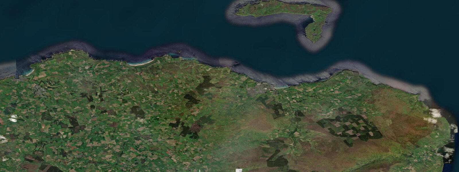
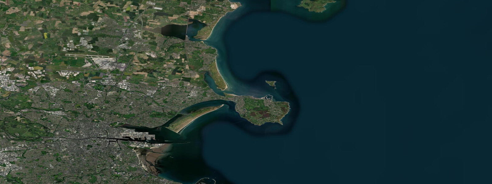
Belfast sits at the head of Belfast Lough, a drowned river valley that opens northeast into the North Channel between Northern Ireland and Scotland. 4 metres. It is a substantial but not dramatic range by UK standards, enough to expose mudflat and rock at the lough edges on every tide and to make the working port at Belfast a tide-influenced environment, but not in the same league as the Severn Estuary to the south.
The lough's semi-enclosed geometry means the tidal signal arrives cleanly, and the tide times at Belfast are consistent and predictable. What makes tidal Northern Ireland exceptional is not Belfast Lough itself but what lies 30 kilometres south: Strangford Lough and its Narrows. Strangford is a 150-square-kilometre enclosed lough, shallow over most of its area, connected to the open Irish Sea only through a 600-metre channel between Strangford village on the west and Portaferry on the east.
On each tidal cycle, the same volume of water that fills that entire lough must pass through that 600-metre gap — and the physics of that constraint produce tidal currents in the Narrows that reach 7 to 8 knots at peak spring. The standing wave and boil patterns in the Narrows on a big spring ebb are visible from the shore: the surface is roughened and turbulent, ropes of current bending around the ferry pier. SeaGen, the world's first commercial tidal stream turbine, stood in the Narrows from 2008 to 2019, extracting electricity from those currents.
2 MW on a good spring tide. Strangford Lough is also designated as a Marine Conservation Zone and Area of Outstanding Natural Beauty. Inside the lough, the tidal regime creates a patchwork of habitats: horse mussel beds in the subtidal zone, cockle beds and lugworm at the intertidal margins, glasswort and sea purslane on the higher saltmarsh.
The lough holds one of Ireland's largest populations of common seals, visible hauled out on the rocks and mudflats at low tide throughout the year. Common eider ducks breed on the islands in the lough — the lough holds most of the Irish Republic and Northern Ireland's eider breeding population. The Delamont Country Park on the southwest shore provides the best accessible vantage point for low-tide wildlife watching in the lough.
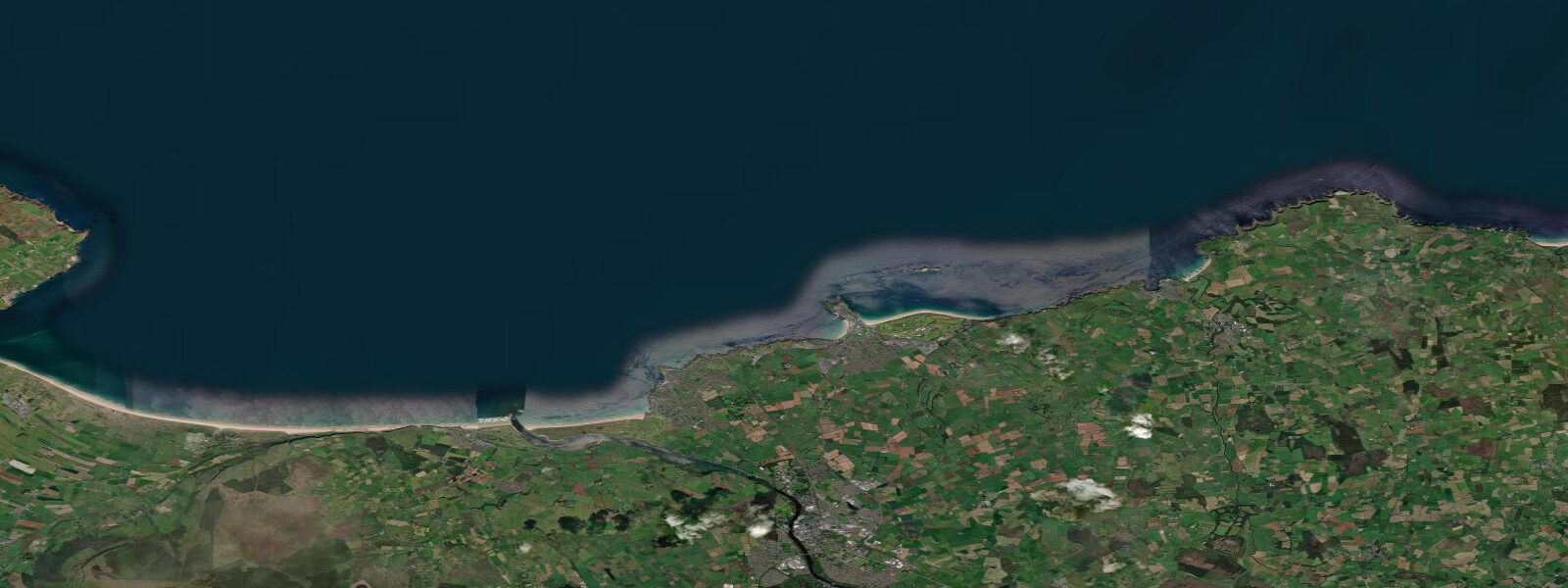
On the Causeway Coast in the north, the tidal character changes. Ballycastle, Portrush, and the stretch of coast between them fronts the open Atlantic with a spring range of 3 to 4 metres and regular Atlantic swell. The Giant's Causeway — the UNESCO World Heritage Site of hexagonal basalt columns at the base of the cliffs between Portballintrae and Ballintoy — is partly intertidal.
At low tide, the lower levels of the causeway are accessible and reveal the full geometry of the interlocking columns running into the sea. At high tide, the wave action covers the lower sections, and the columns visible from the clifftop viewing area have a different quality — the sea filling the channels between them rather than the dry stone exposed on a low neap. For anglers, Belfast Lough's rocky shores and piers provide pollock, wrasse, coalfish, and occasional bass — all improved by the tidal change.
The junction of flood and ebb near the lough mouth is particularly productive as baitfish concentrate in the currents. Shore fishing from the rocks at Black Head on the north shore, or from the County Down shore at Orlock Point, follows the standard Irish Sea pattern: incoming flood tide two to three hours on either side of high water. Kayakers exploring Belfast Lough can launch from Holywood, Ballyholme Bay (Bangor), or Helen's Bay and find sheltered water inside the lough on most conditions.
Beginners should avoid the Narrows at Strangford — that is advanced tidal water, and even experienced paddlers plan their entry and exit around the tidal window of slack water around high and low. 3 metres on height — model-derived, not a local gauge. Authoritative tide predictions for Belfast are published in Admiralty Tide Tables volume 1 (UK Hydrographic Office) and by the NTSLF gauge station at Belfast Harbour.
Tide questions about Belfast
Quick answers to the most common questions about tide times, range, and water access at Belfast.
What is the tidal range at Belfast?
The mean spring tidal range at Belfast is approximately 3.0 to 3.4 metres, with neap tides reducing the range to around 1.2 to 1.5 metres. Belfast Lough is semi-enclosed, which creates a clean and predictable semidiurnal signal — two high waters and two low waters every 24 hours and 50 minutes. For comparison, the open Irish Sea at Portpatrick on the Scottish side of the North Channel has a similar spring range, while the Strangford Lough Narrows 30 kilometres south of Belfast sees negligible height difference despite extreme tidal currents, because both ends of the Narrows experience the same tidal signal only slightly phase-shifted.
When is the next high tide at Belfast?
The tide table at the top of this page shows today's predicted high and low tide times for Belfast in local time — GMT in winter, BST (UTC+1) from late March to late October. The two daily highs are typically of slightly different heights due to a small diurnal inequality, with the difference more pronounced on spring tides. Tide times shift by approximately 45 to 50 minutes later each day. Predictions here are from Open-Meteo Marine, typically within plus or minus 45 minutes on timing — model-derived, not from the Belfast Harbour gauge. Authoritative tables are in Admiralty Tide Tables volume 1, published by the UKHO.
Where does Belfast's tide data come from?
Tide predictions on this page are generated by Open-Meteo Marine, a global gridded ocean model producing predictions from harmonic tidal constituents. Accuracy is typically within plus or minus 45 minutes on timing and 0.2 to 0.3 metres on height — appropriate for general trip planning but not precision navigation. The authoritative Belfast tide gauge is operated by the National Tidal and Sea Level Facility (NTSLF) as part of the UK National Tide Gauge Network, with real-time data available through the NTSLF. Official published tide tables for Belfast and the North Channel are in Admiralty Tide Tables volume 1, updated annually by the UK Hydrographic Office.
How dangerous are the tidal currents at Strangford Narrows?
The tidal currents through Strangford Narrows are among the strongest in the UK and Ireland, reaching 7 to 8 knots at peak spring ebb — roughly twice the speed a fit person can swim and fast enough to swamp a small vessel caught broadside in the flow. The Narrows is a commercial ferry route (Strangford to Portaferry) and the ferries cross on a specific schedule timed to the tidal window. Kayakers and small boat operators must plan any crossing for slack water — the 20 to 30 minute window around the turn of the tide when the current drops to manageable speed. Outside that window the Narrows is expert-only water even in a kayak. The standing waves and whirlpool patterns visible mid-ebb from the Portaferry shore give a clear indication of why this matters.
Is the Giant's Causeway affected by the tide?
Yes. The Giant's Causeway is partly intertidal — the lower levels of the basalt column formation are accessible on foot at low tide and covered by the sea at high. With a spring range of 3 to 4 metres along the Causeway Coast, the difference between low and high water changes what is accessible. At low water you can walk out on the lower columns, examine the geometry of the interlocking hexagons at water level, and explore sections that are completely submerged at high. Visit on a falling tide and walk the platform as it uncovers, giving you more time on the lower formations before the flood returns. The National Trust visitor centre at the Causeway provides the daily tide times — checking these before visiting is recommended particularly if you want to explore the more exposed areas.
0-day tide table — Belfast
Heights relative to MSL. Predictions: Open-Meteo Marine (MeteoFrance SMOC, 0.08° grid) — heights relative to MSL (not chart datum / LAT). Model-derived.
| Day | Type | Time | Height |
|---|