Bandar Abbas tide times
Bandar Abbas tide forecast — heights relative to MSL.
Today's tide times for Bandar Abbas
Tide times at Bandar Abbas on Friday, 3 July 2026: first high tide at 03:30am, first low tide at 05:42am, second high tide at 12:13pm, second low tide at 06:07pm, third high tide at 11:40pm. Sunrise 04:54am, sunset 06:43pm.
Tide chart for Bandar Abbas
24-hour cosine-interpolated curve around the present moment. Heights relative to MSL. Predictions: Predictions: Open-Meteo Marine (MeteoFrance SMOC, 0.08° grid).
Sun, moon and conditions on Fri 03 Jul
Snapshot at build time — refreshes daily. Sea state from Open-Meteo Marine.
Highs and lows next 7 days
Every predicted high and low for the next week, with the daily tidal coefficient (0–120; higher = bigger swing, > 95 means stronger currents).
Other spots nearby
The three closest curated TideTurtle locations to Bandar Abbas, measured by great-circle distance.
Today's solunar windows
Solunar tradition: major periods are the ≈3h windows around moon transit and opposition; minor are ≈2h around moonrise and moonset. Pair with the local tide stage and wind for the best read.
Cycle dates near Bandar Abbas
Last spring tide on Fri 03 Jul (range 2.7m). Next spring tide on Thu 09 Jul (range 2.4m). Next neap on Tue 07 Jul.
Spring tides cluster around new and full moons (biggest swings). Neap tides land on quarter moons (smallest swings). See the spring tide and neap tide glossary entries for the why.
About tides at Bandar Abbas
A short guide to the coastline at Bandar Abbas — geography, sea state, and what the tide is actually doing under your feet.
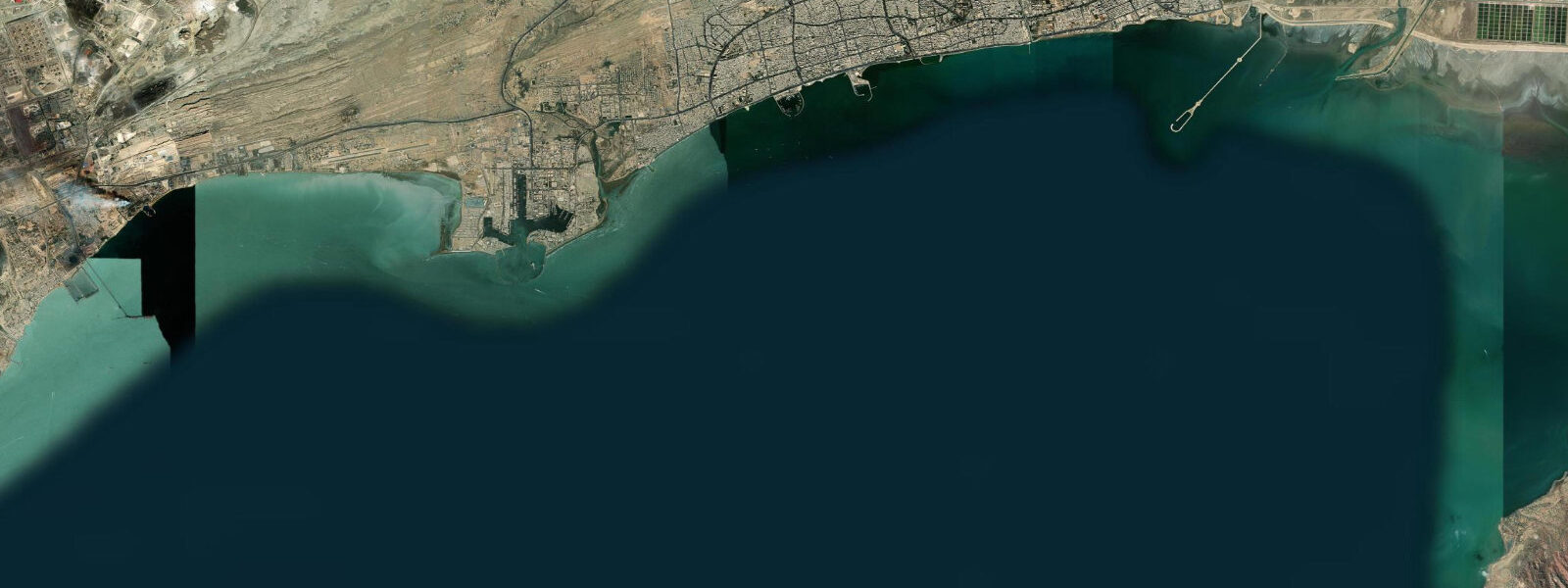
Bandar Abbas sits at the pinch point of the Strait of Hormuz, where the Persian Gulf narrows to 39 kilometres between Iran and the Musandam Peninsula of Oman. The port is Iran's largest and busiest: container ships, bulk carriers, and naval vessels move through the anchorage around the clock, and the silhouettes of supertankers waiting to transit are a permanent feature of the horizon. About 20% of the world's traded oil passes through this chokepoint — the significance is not abstract when you are standing on the waterfront watching the traffic.
The tidal regime here is mixed semidiurnal, driven by the Indian Ocean tide propagating north through the Gulf of Oman and entering the Strait. At Bandar Abbas, spring tides produce a range of approximately 1.0 to 1.5 metres. The pattern is irregular — the two daily high tides often differ substantially in height, particularly around the solstices. The change in tidal height across a spring cycle is gradual enough that the beach at the city waterfront widens by 30 to 50 metres between high and low water; this matters most to anglers working the rocks and to the small dhow operators who beach their vessels on the tidal flat south of the commercial quay.
The fish market near the old harbour is worth a morning visit. Tuna, snapper, kingfish, and hammour (grouper) are the staples. The landing happens in the predawn hours and trading is largely done by 07:00; arrive before 06:30 to see the full catch laid out. The bazaar behind the harbour sells spices, dried limes (limoo amani — the sour, pungent preserved lime unique to the region), and an assortment of goods moved through the free trade zone on Qeshm Island across the channel.
The Portuguese Fort — Qal'eh-ye Portugali — stands on the headland above the port. Alfonso de Albuquerque took the island of Hormuz in 1507 and the Portuguese maintained a presence in the strait for over a century; the fort is the visible remnant of that period. The ruins are not extensively interpreted but the vantage point over the anchorage is excellent, and the contrast between the 16th-century stonework and the modern tanker fleet below is striking.
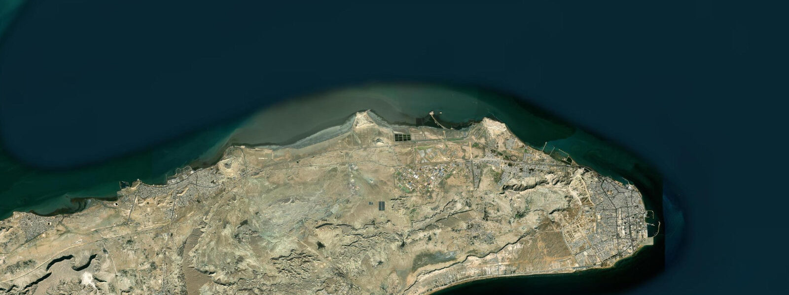
Ferries run from the Shahid Haqqani Terminal to Qeshm Island (crossing time approximately 25 minutes by fast ferry) and to Hormuz Island (approximately 1 hour). Hormuz is the smaller island with coloured mineral soil — red, orange, and ochre bands — that has made it a domestic tourism destination. The Qeshm crossing is frequent and inexpensive; it is the primary route for residents commuting between the island and the mainland.
Dolphin sightings in the strait are common. Indo-Pacific bottlenose and spinner dolphins are regularly seen from the ferry crossings and from the waterfront. The adjacent Hengam Island, about 15 kilometres southwest of Bandar Abbas, is a designated wildlife reserve accessible by private boat; sea turtles nest on its beaches and the shallow waters around it hold healthy fish populations.
The heat is a genuine constraint. Bandar Abbas averages around 30°C year-round and summer humidity from the southwest monsoon (June through September) pushes apparent temperatures well above 40°C. The most comfortable visiting window is November through February, when temperatures drop to 18-24°C and humidity is manageable. Early morning is the productive window in any season — the fish market, the waterfront, and any photography should be planned for the first two hours after sunrise.
For anglers, the rocks and breakwaters around the harbour produce hammour, snapper, and queenfish. The outgoing tide concentrates bait against the structure; the last two hours of the ebb and the first hour of the flood are the most productive periods. Shore fishing from the southern waterfront is informal and no permit is required for recreational rod fishing.
The waterfront promenade south of the main commercial quay is walkable in the early morning — a 2-kilometre stretch of reclaimed foreshore with views across the anchorage to Qeshm. At that hour the tankers riding at anchor are close enough to read their names, and the small dhows running produce and passengers to the islands thread between them. The promenade is quiet before 07:00; by 08:00 the heat and the traffic make it less comfortable. The morning walk, timed to catch the fish market and then the waterfront before the heat peaks, covers the essential Bandar Abbas harbour experience in three hours.
Predictions on this page come from Open-Meteo Marine, a gridded global ocean model. Accuracy is typically within plus or minus 45 minutes on timing and 0.2 to 0.3 metres on height — model-derived, not from a local gauge. The authoritative source for tidal data in this region is the Ports and Maritime Organization of Iran (PMO), which maintains sea level gauges at Bandar Abbas and publishes annual tidal predictions.
Tide questions about Bandar Abbas
Quick answers to the most common questions about tide times, range, and water access at Bandar Abbas.
What is the tidal range at Bandar Abbas?
Bandar Abbas experiences a mixed semidiurnal tidal pattern. Spring tides produce a range of approximately 1.0 to 1.5 metres between high and low water. The pattern is irregular — the two daily high tides often differ noticeably in height, a characteristic of the mixed semidiurnal regime in the Strait of Hormuz. Neap tides reduce the range to around 0.4 to 0.6 metres. The tidal curve is gradual rather than sharp, so water levels change slowly around the high and low slack periods, giving anglers and small-boat operators useful windows of stable water.
How do I get the ferry to Qeshm Island from Bandar Abbas?
Ferries to Qeshm Island depart from the Shahid Haqqani Terminal on the southern waterfront of Bandar Abbas. Fast passenger ferries make the crossing in approximately 25 minutes; roll-on roll-off vehicle ferries take longer. Services run frequently during daylight hours and are heavily used by island residents and domestic visitors. Hormuz Island is also accessible from the same terminal, with a crossing time of approximately one hour. Buy tickets at the terminal; domestic visitors need valid ID. Tidal conditions do not generally affect ferry schedules, but strong northwest winds (Shamal) occasionally cause delays.
When is the best time of year to visit Bandar Abbas?
November through February is the most comfortable window. Temperatures drop to 18-24°C, humidity is low, and the light in the early morning is good for photography at the fish market and waterfront. March and April are acceptable — warming but not yet oppressive. Avoid May through October if heat and humidity are a concern; the southwest monsoon from June to September brings persistent high humidity and apparent temperatures above 40°C. The fish market and harbour are active year-round, but summer visits require a pre-dawn start and a plan to be indoors by 09:00.
Is shore fishing productive at Bandar Abbas?
Yes. The rocks and breakwaters around the harbour hold hammour (grouper), snapper, and queenfish. The outgoing tide concentrates bait against rocky structure; the most productive window is the last two hours of the ebb and the first hour of the flood tide. The southern waterfront and the areas around the ferry terminal offer accessible platforms. No recreational fishing permit is required for rod fishing from shore. The fish market provides a useful indicator of what species are running — if hammour are dominant on the slabs, they are feeding in the strait.
Can I see the Hormuz Island from Bandar Abbas?
Hormuz Island is visible on a clear day from the Bandar Abbas waterfront, approximately 8 kilometres to the southwest. The distinctive coloured mineral geology — bands of red, orange, and ochre iron oxide soils — is not distinguishable at that distance, but the island's low profile on the horizon is clear. The ferry crossing from the Shahid Haqqani Terminal takes approximately one hour. Hormuz is a domestic tourism destination known for its coloured earth and the ruins of the Portuguese Fort at its eastern point, separate from the larger fort above Bandar Abbas itself.
8-day tide table — Bandar Abbas
Heights relative to MSL. Predictions: Open-Meteo Marine (MeteoFrance SMOC, 0.08° grid) — heights relative to MSL (not chart datum / LAT). Model-derived.
| Day | Type | Time | Height |
|---|---|---|---|
| Fri 03 Jul | High | 03:30 | -0.5m |
| Low | 05:42 | -1.1m | |
| High | 12:13 | 1.6m | |
| Low | 18:07 | -0.1m | |
| High | 23:40 | 1.5m | |
| Sat 04 Jul | Low | 06:14 | -1.0m |
| High | 12:48 | 1.7m | |
| Low | 18:45 | -0.1m | |
| Sun 05 Jul | High | 00:23 | 1.4m |
| Low | 06:46 | -0.9m | |
| High | 13:22 | 1.7m | |
| Low | 19:27 | -0.3m | |
| Mon 06 Jul | High | 01:09 | 1.3m |
| Low | 07:20 | -0.7m | |
| High | 13:55 | 1.6m | |
| Low | 20:15 | -0.4m | |
| Tue 07 Jul | High | 02:05 | 1.2m |
| Low | 08:03 | -0.5m | |
| High | 14:32 | 1.6m | |
| Low | 21:11 | -0.6m | |
| Wed 08 Jul | High | 03:08 | 1.1m |
| Low | 08:56 | -0.3m | |
| High | 15:13 | 1.5m | |
| Low | 22:14 | -0.7m | |
| Thu 09 Jul | High | 04:21 | 1.0m |
| Low | 10:03 | -0.1m | |
| High | 16:02 | 1.5m | |
| Low | 23:21 | -1.0m | |
| Fri 10 Jul | High | 02:30 | 0.1m |