Dubai tide times
Dubai tide forecast — heights relative to MSL.
Today's tide times for Dubai
Tide times at Dubai on Sunday, 26 July 2026: first low tide at 04:37, first high tide at 21:40. Sunrise 05:42, sunset 19:08.
Tide chart for Dubai
24-hour cosine-interpolated curve around the present moment. Heights relative to MSL. Predictions: Predictions: Open-Meteo Marine (MeteoFrance SMOC, 0.08° grid).
Sun, moon and conditions on Sun 26 Jul
Snapshot at build time — refreshes daily. Sea state from Open-Meteo Marine.
Highs and lows next 7 days
Every predicted high and low for the next week, with the daily tidal coefficient (0–120; higher = bigger swing, > 95 means stronger currents).
Other spots nearby
The three closest curated TideTurtle locations to Dubai, measured by great-circle distance.
Today's solunar windows
Solunar tradition: major periods are the ≈3h windows around moon transit and opposition; minor are ≈2h around moonrise and moonset. Pair with the local tide stage and wind for the best read.
Cycle dates near Dubai
Next spring tide on Thu 30 Jul (range 1.7m). Last neap on Sun 26 Jul. Next neap on Sat 01 Aug.
Spring tides cluster around new and full moons (biggest swings). Neap tides land on quarter moons (smallest swings). See the spring tide and neap tide glossary entries for the why.
About tides at Dubai
A short guide to the coastline at Dubai — geography, sea state, and what the tide is actually doing under your feet.
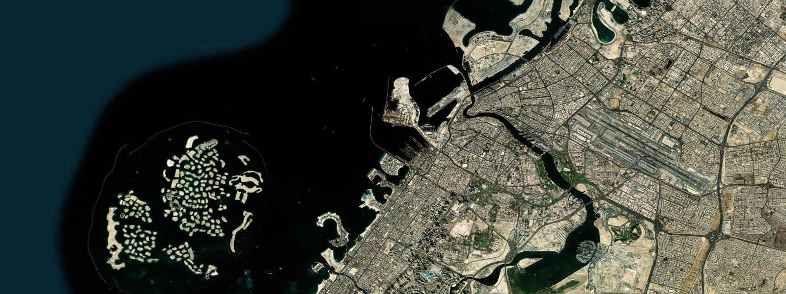
Dubai sits on the Persian Gulf coast of the Arabian Peninsula, the second-largest of the seven emirates of the United Arab Emirates and the working financial and logistics capital between Europe, South Asia, and East Africa. The natural Khor Dubai inlet runs inland for about ten kilometres from the open Gulf and historically separated the original trading districts of Deira on the north bank from Bur Dubai on the south. Dredged-channel works through the twentieth century deepened the inlet for working dhows and small commercial vessels, and the modern Mina Rashid container port at the inlet mouth handled the bulk of the emirate's container traffic before the Jebel Ali superport replaced it on the south-western coast.
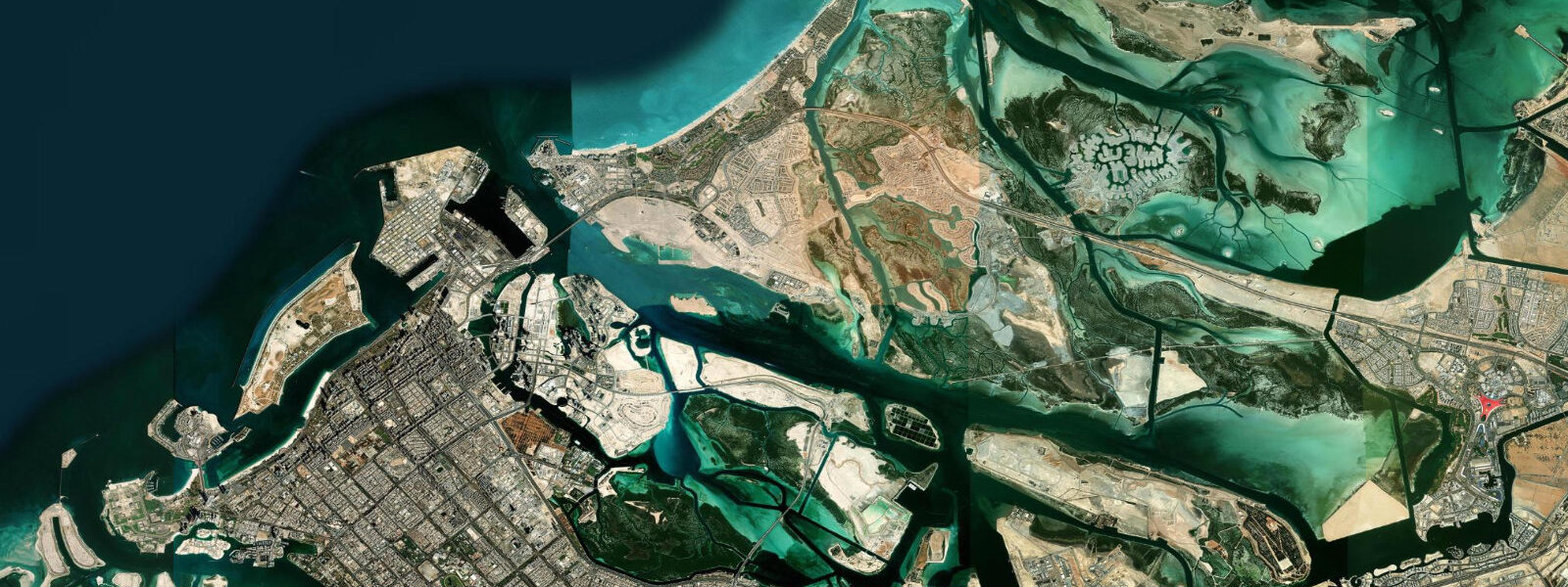
6 on neaps. Two highs and two lows of unequal size each day, with the asymmetry varying through the lunar month and shifting toward strongly diurnal at certain phases. The Persian Gulf is shallow with an average depth of about 50 metres and connects to the open Indian Ocean only through the Strait of Hormuz between Oman and Iran, so the astronomical forcing propagates as a co-oscillating wave that builds amphidromic patterns across the basin rather than acting as a directly forced tide.
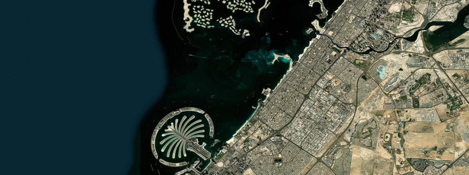
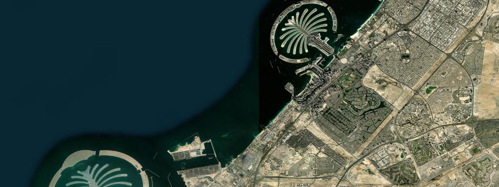
The defining engineered features are the offshore reclaimed-island archipelagos. The Palm Jumeirah, Palm Jebel Ali, and the World Islands were dredged from Gulf seabed sand during the 2000s, and the cuts between the palm fronds carry tidal exchange that the engineers had to design for to prevent stagnation in the inner marina basins. The Burj Al Arab silhouette rises from its own offshore sand pad immediately west of Jumeirah Beach.
Working dhow traders bound for the Iranian Bandar Abbas coast and the East African Mombasa-and-Zanzibar circuit, abra ferries crossing the Khor between the gold and spice souks of Deira and Bur Dubai, the snorkellers reading the inner-shelf access at the Dubai Marine Reserve off Jebel Ali, and the working container terminals at Jebel Ali Free Zone all read the table for different windows. The UAE National Centre of Meteorology and Seismology and the Dubai Maritime City Authority publish authoritative tide tables; Open-Meteo Marine drives the gridded predictions on this page.
Tide questions about Dubai
Quick answers to the most common questions about tide times, range, and water access at Dubai.
When is the next high tide at Dubai?
The hero block shows the next high tide at the Port Rashid gauge inside Khor Dubai in local Gulf Standard Time (GST, UTC+4, no DST). The 7-day table covers all daily highs and lows. The Persian Gulf mixed semidiurnal pattern produces two highs and two lows of unequal size each day with the asymmetry varying through the lunar month.
What's the typical tide range at Dubai?
Mean range at the Port Rashid gauge is about 1.4 metres — a moderate Persian Gulf signal. Spring tides push close to 2.0 metres and neaps drop near 0.6. The Gulf is shallow and partially enclosed, which produces co-oscillating tidal waves and amphidromic patterns rather than a directly forced open-ocean tide. Sea-surface temperatures in the Gulf range from about 20 degrees in February to over 35 in August.
Where do these tide predictions come from?
Open-Meteo Marine, a gridded global ocean model. Useful for planning Khor Dubai abra crossings, Jumeirah Beach windows, the Palm Jumeirah inner-marina visits, and the offshore Dubai Marine Reserve snorkel sessions. For authoritative UAE tide data, the National Centre of Meteorology and Seismology and the Dubai Maritime City Authority publish the official tide tables and operate the Port Rashid reference gauge.
How do the dredged channels and reclaimed islands shape the working coast?
Khor Dubai was the original natural harbour of the emirate and remains a working dhow channel for trade with Iran and East Africa. The Palm Jumeirah, Palm Jebel Ali, and the World Islands were constructed from dredged Gulf seabed sand during the 2000s — the cuts between the palm fronds carry tidal exchange that the artificial-island engineers had to design for to prevent inner-basin stagnation. The Burj Al Arab silhouette rises from its own offshore sand pad. The modern container industry centred on the Jebel Ali superport replaced Mina Rashid as the bulk container terminal in the 1980s.
Is this safe to use for navigation?
No. For piloting in or out of the Khor Dubai inlet, the Mina Rashid cruise terminal, the Jebel Ali container port, or any Strait-of-Hormuz approach use the UAE National Centre of Meteorology and Seismology authoritative tide tables, the Dubai Maritime City Authority pilotage guidance, and the UK Hydrographic Office Persian Gulf and Gulf of Oman pilot. The shallow Gulf bathymetry and the dredged-channel-dependent harbour approaches require working pilotage for any commercial transit.
8-day tide table — Dubai
Heights relative to MSL. Predictions: Open-Meteo Marine (MeteoFrance SMOC, 0.08° grid) — heights relative to MSL (not chart datum / LAT). Model-derived.
| Day | Type | Time | Height |
|---|---|---|---|
| Sun 26 Jul | Low | 04:37 | -0.3m |
| High | 21:40 | 0.9m | |
| Mon 27 Jul | Low | 05:19 | -0.4m |
| High | 12:06 | 0.5m | |
| Low | 16:06 | 0.3m | |
| High | 22:24 | 1.0m | |
| Tue 28 Jul | Low | 05:51 | -0.4m |
| High | 23:00 | 1.1m | |
| Wed 29 Jul | Low | 06:26 | -0.5m |
| High | 23:41 | 1.1m | |
| Thu 30 Jul | Low | 06:54 | -0.6m |
| High | 13:11 | 0.6m | |
| Low | 17:57 | 0.1m | |
| Fri 31 Jul | High | 00:14 | 1.2m |
| Low | 07:18 | -0.5m | |
| Sat 01 Aug | High | 00:47 | 1.2m |
| Low | 07:45 | -0.5m | |
| High | 14:00 | 0.7m | |
| Low | 19:12 | 0.0m | |
| Sun 02 Aug | High | 01:25 | 1.1m |
| Low | 03:00 | 0.9m |