Qeshm Island tide times
Qeshm Island tide forecast — heights relative to MSL.
Today's tide times for Qeshm Island
Tide times at Qeshm Island on Friday, 3 July 2026: first high tide at 03:30am, first low tide at 05:53am, second high tide at 12:20pm, second low tide at 06:18pm, third high tide at 11:47pm. Sunrise 04:55am, sunset 06:43pm.
Tide chart for Qeshm Island
24-hour cosine-interpolated curve around the present moment. Heights relative to MSL. Predictions: Predictions: Open-Meteo Marine (MeteoFrance SMOC, 0.08° grid).
Sun, moon and conditions on Fri 03 Jul
Snapshot at build time — refreshes daily. Sea state from Open-Meteo Marine.
Highs and lows next 7 days
Every predicted high and low for the next week, with the daily tidal coefficient (0–120; higher = bigger swing, > 95 means stronger currents).
Other spots nearby
The three closest curated TideTurtle locations to Qeshm Island, measured by great-circle distance.
Today's solunar windows
Solunar tradition: major periods are the ≈3h windows around moon transit and opposition; minor are ≈2h around moonrise and moonset. Pair with the local tide stage and wind for the best read.
Cycle dates near Qeshm Island
Last spring tide on Fri 03 Jul (range 2.7m). Next spring tide on Thu 09 Jul (range 2.4m). Next neap on Tue 07 Jul.
Spring tides cluster around new and full moons (biggest swings). Neap tides land on quarter moons (smallest swings). See the spring tide and neap tide glossary entries for the why.
About tides at Qeshm Island
A short guide to the coastline at Qeshm Island — geography, sea state, and what the tide is actually doing under your feet.
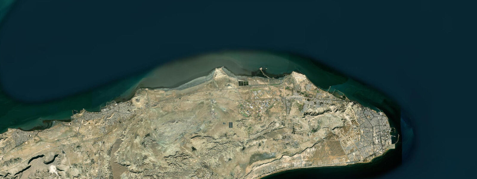
Qeshm is Iran's largest island, sitting in the narrow Clarence Strait that separates it from the Hormozgan mainland. The strait is shallow and tidal — at low water on a spring tide, sections of the mudflat on the eastern side are exposed for hundreds of metres, and traditional wooden dhow builders use the tidal exposure to work on hulls beached against the flats. The island's geography is a study in geological contrast: ancient salt formations, rugged canyon systems, and the most northerly mangrove forest in the world, all within 1,500 square kilometres.
The Hara Forest — formally the Hara Biosphere Reserve — covers approximately 400 square kilometres of the island's northern coast and spreads across the channel into the mainland mudflats. The mangroves here are dominated by Avicennia marina (white or grey mangrove), reaching 3 to 4 metres in height. Access is by small motorboat from the village of Qeshm or from Laft on the northwest coast. The tidal regime is central to how the forest functions: at high water, the channels between the mangrove stands are navigable by small boat and the prop roots are submerged; at low water, those same channels drain and the prop roots are exposed, supporting nesting herons, cormorants, and flamingos that feed on the mudflat. The boat operators know the tidal window — plan to enter the forest channels in the two hours before high water and exit on the first of the ebb.
The tidal range at Qeshm runs 1.0 to 1.5 metres on spring tides, mixed semidiurnal in character. The pattern means that on some days the two high tides are nearly equal; on others they differ by 0.4 to 0.6 metres. For the Hara Forest visit, the absolute height of high water matters more than the range — a low high tide (neap cycle) may leave some channels too shallow for comfortable navigation.
Chakooh Canyon cuts through a salt formation in the central part of the island. Salt is plastic over geological timescales and the canyon walls show contorted layering — salt mixed with coloured mineral sediments, carved by the rare but intense flash floods that the island receives. The canyon is accessible on foot; the entrance is narrow (1 to 2 metres in some sections) and the walls rise 8 to 10 metres. There is no standing water; this is a dry geological feature, not a coastal one, but it is among the island's most visited sites.
Namakdan Salt Cave, in the western part of the island, is one of the world's longest salt caves at approximately 6,580 metres of surveyed passage. Salt caves are uncommon globally — salt dissolves rapidly in humid air, so most are found only in hyperarid environments. The Qeshm cave formed in conditions dry enough to preserve the passage. The entrance section is accessible to visitors without specialist equipment; deeper sections require a guide and proper footwear.
Qeshm Free Trade Zone covers the eastern part of the island and operates under a separate customs regime from mainland Iran. Duty-free goods — electronics, appliances, clothing — attract significant domestic traffic, particularly from Bandar Abbas. The commercial zone is not of particular interest to international visitors, but it explains the island's well-developed infrastructure: good roads, accommodation, and reliable ferry connections.
Dhow building continues at the village of Laft on the northwestern tip of the island. The traditional wooden vessels — lenger — are built using techniques that have changed little in 500 years: adze-shaped planks, hand-finished joinery, no written plans. The master builders carry the design in memory. Visits to the boatyard are possible; the best time to observe hull work is at low tide when beached vessels are accessible.
The island's western salt formations are worth a half-day. The salt dome that underlies much of western Qeshm expresses itself in a landscape of eroded salt pillars, coloured mineral seeps, and the distinctive plasticity of salt under erosion — smooth, rounded forms that look nothing like limestone karst. The road from Qeshm town to Laft (the northwestern village) passes through this landscape; the combination of the geological scenery and the mangrove channels of the Hara Reserve visible from the road makes the Laft circuit the most productive half-day on the island. Allow three hours for the round trip if combining a Laft market visit with the mangrove boat entry.
Fishing from Qeshm town's harbour and the southern beaches is consistent year-round. Hammour (grouper), snapper, and queenfish are the principal species. The incoming tide in the early morning, when the Clarence Strait current is running flood into the shallow eastern channel, produces the most active feeding conditions.
Predictions on this page come from Open-Meteo Marine, a gridded global ocean model. Accuracy is typically within plus or minus 45 minutes on timing and 0.2 to 0.3 metres on height — model-derived, not from a local gauge. The authoritative source for tidal data in this region is the Ports and Maritime Organization of Iran (PMO).
Tide questions about Qeshm Island
Quick answers to the most common questions about tide times, range, and water access at Qeshm Island.
When is the best time to visit the Hara Mangrove Forest?
Plan the boat entry to coincide with the rising tide — ideally entering the main channels about two hours before high water. At high water, the channels between the mangrove stands are navigable by small motorboat and the canopy is at its most accessible. As the tide ebbs, channels shallow quickly in some sections and the prop roots emerge. The boat operators at Qeshm village and Laft know the tidal window and will time the departure accordingly — confirm with them on arrival. Neap tides produce a lower high water, which can restrict access to some inner channels; spring tides give the fullest access.
What is Namakdan Salt Cave and can I visit it?
Namakdan Salt Cave is one of the world's longest salt caves, with approximately 6,580 metres of surveyed passage. It formed in the hyperarid conditions of the western Qeshm salt dome, where rainfall is rare enough that the salt passage has not dissolved over geological time. The entrance section and first few hundred metres are accessible to visitors without specialist equipment — bring a torch and wear closed shoes with grip, as the salt floor is uneven. Deeper sections require a local guide. The cave is not warm: temperatures inside are lower than the exterior even in summer, which is a genuine relief.
What is the tidal range at Qeshm Island?
Qeshm operates under a mixed semidiurnal tidal regime. Spring tides produce a range of approximately 1.0 to 1.5 metres. The two daily high and low tides often differ in height, particularly around the solstices, which is the characteristic mixed pattern of the Persian Gulf and Strait of Hormuz system. Neap tides reduce the range to 0.4 to 0.6 metres. The tidal exchange through the Clarence Strait between Qeshm and the mainland drives much of the circulation through the Hara Mangrove channels, making the tidal cycle central to how the ecosystem functions.
How do traditional dhow (lenger) builders use the tides?
At the village of Laft on Qeshm's northwest coast, wooden dhow builders take advantage of the tidal flat to work on hulls. Vessels under construction or repair are beached on the flat at high water and left as the tide drops, exposing the bottom and lower sides for adze and caulking work. When the tide returns, the hull floats free. This method avoids the need for a dry dock. The practice has been continuous for centuries; the tidal flat acts as a natural slipway. The best time to observe hull work is at low tide on a spring cycle, when the exposure is maximal.
Are there wildlife highlights on Qeshm Island beyond the mangroves?
Several. The Hara Biosphere Reserve supports herons, egrets, cormorants, and flamingos on the tidal mudflats; grey heron and reef heron are resident, and greater flamingo winter on the northern flats in numbers reaching several thousand. Green turtle (Chelonia mydas) nest on the southeastern beaches of the island from June to September. Hawksbill turtle are less common but present. The channel waters hold dolphins — Indo-Pacific bottlenose is the most frequently seen species. The island also has a population of Qeshm Island monitor lizard (Varanus qeshmonensis), a species endemic to the island, described as recently as 2008.
8-day tide table — Qeshm Island
Heights relative to MSL. Predictions: Open-Meteo Marine (MeteoFrance SMOC, 0.08° grid) — heights relative to MSL (not chart datum / LAT). Model-derived.
| Day | Type | Time | Height |
|---|---|---|---|
| Fri 03 Jul | High | 03:30 | -0.4m |
| Low | 05:53 | -1.1m | |
| High | 12:20 | 1.6m | |
| Low | 18:18 | -0.1m | |
| High | 23:47 | 1.5m | |
| Sat 04 Jul | Low | 06:24 | -1.0m |
| High | 12:55 | 1.6m | |
| Low | 18:57 | -0.1m | |
| Sun 05 Jul | High | 00:30 | 1.4m |
| Low | 06:57 | -0.9m | |
| High | 13:28 | 1.6m | |
| Low | 19:37 | -0.3m | |
| Mon 06 Jul | High | 01:17 | 1.3m |
| Low | 07:31 | -0.7m | |
| High | 14:02 | 1.6m | |
| Low | 20:27 | -0.4m | |
| Tue 07 Jul | High | 02:12 | 1.2m |
| Low | 08:15 | -0.5m | |
| High | 14:38 | 1.5m | |
| Low | 21:20 | -0.6m | |
| Wed 08 Jul | High | 03:15 | 1.1m |
| Low | 09:07 | -0.3m | |
| High | 15:21 | 1.5m | |
| Low | 22:22 | -0.7m | |
| Thu 09 Jul | High | 04:30 | 1.0m |
| Low | 10:12 | -0.1m | |
| High | 16:13 | 1.5m | |
| Low | 23:30 | -0.9m | |
| Fri 10 Jul | High | 02:30 | 0.0m |