Banyuwangi tide times
Banyuwangi tide forecast — heights relative to MSL.
Today's tide times for Banyuwangi
Tide times at Banyuwangi on Sunday, 21 June 2026: first low tide at 07:00, first high tide at 13:02, second low tide at 19:33. Sunrise 05:34, sunset 17:13.
Tide chart for Banyuwangi
24-hour cosine-interpolated curve around the present moment. Heights relative to MSL. Predictions: Predictions: Open-Meteo Marine (MeteoFrance SMOC, 0.08° grid).
Sun, moon and conditions on Sun 21 Jun
Snapshot at build time — refreshes daily. Sea state from Open-Meteo Marine.
Highs and lows next 7 days
Every predicted high and low for the next week, with the daily tidal coefficient (0–120; higher = bigger swing, > 95 means stronger currents).
Other spots nearby
The three closest curated TideTurtle locations to Banyuwangi, measured by great-circle distance.
Today's solunar windows
Solunar tradition: major periods are the ≈3h windows around moon transit and opposition; minor are ≈2h around moonrise and moonset. Pair with the local tide stage and wind for the best read.
Cycle dates near Banyuwangi
Last spring tide on Sun 21 Jun (range 1.4m). Next spring tide on Sat 27 Jun (range 1.4m). Next neap on Wed 24 Jun.
Spring tides cluster around new and full moons (biggest swings). Neap tides land on quarter moons (smallest swings). See the spring tide and neap tide glossary entries for the why.
About tides at Banyuwangi
A short guide to the coastline at Banyuwangi — geography, sea state, and what the tide is actually doing under your feet.
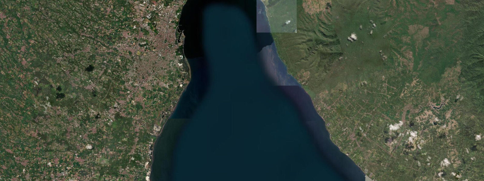
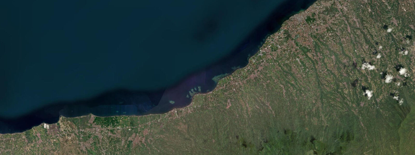
Banyuwangi is the easternmost city in Java, positioned at the Bali Strait — the 2.4 km-wide channel that separates Java from Bali and connects the Java Sea to the north with the Indian Ocean to the south. The strait's narrow geometry concentrates tidal flows: currents through the Bali Strait run 2–3 knots on a normal tidal cycle, reversing direction with each tidal phase. The mean tidal range at Banyuwangi is approximately 1.5–2.0 m above Chart Datum according to BMKG data, with mixed semidiurnal character — stronger than the Java Sea to the north but driven by the Indian Ocean tidal pulse.
For mariners, the Bali Strait is a transit that demands tidal planning. The 2.4 km width at the narrowest point (near the Ketapang–Gilimanuk ferry crossing) is enough for commercial shipping and ro-ro ferries operating around the clock, but the current set affects vessel handling. The ferry crossing between Ketapang (Banyuwangi side) and Gilimanuk (Bali side) runs continuously; at peak current the crossing time extends. Leisure sailors transiting the strait in smaller vessels typically aim to cross at or near slack water.
Banyuwangi's coastline faces the strait and a section of the Indian Ocean south of the strait mouth. Plengkung beach (G-Land), around 70 km south by road via the Meru Betiri National Park boundary, is one of the most consistently cited big-wave surf breaks in Indonesia — accessible by boat from Banyuwangi's southern coast or by overland track from the park. The Indian Ocean south of the strait generates long-period easterly and south-easterly swells; the season for surf is May through September.
Ijen volcano, 50 km northwest of the city centre, has made Banyuwangi the standard staging town for the Ijen trek. The crater lake — highly acidic, sulphuric — and the blue-flame sulphur combustion phenomenon visible in the pre-dawn hours have drawn significant independent-travel interest. The trek is timed to arrive at the crater rim before sunrise; the blue flame is only visible in darkness. Tidal conditions on the coast have no bearing on the volcano visit, but the combination of the two draws (coastal access and Ijen) makes Banyuwangi a logical 2–3 day base.
BMKG is the authoritative source for Banyuwangi tidal data. Open-Meteo Marine predictions shown here carry ±45 min / ±0.2–0.3 m uncertainty.
Tide questions about Banyuwangi
Quick answers to the most common questions about tide times, range, and water access at Banyuwangi.
What are tidal currents like in the Bali Strait near Banyuwangi?
The Bali Strait narrows to 2.4 km between Ketapang (Banyuwangi) and Gilimanuk (Bali). Tidal currents run 2–3 knots through the strait, reversing direction with each tidal cycle. The current is strongest around mid-tide (peak ebb and peak flood) and approaches slack near high and low water. The ro-ro ferry crossing operates around the clock regardless of current state, but crossing times extend at peak flow. Sailors in smaller vessels should plan to cross near slack water.
What is the tidal range at Banyuwangi?
BMKG data for Banyuwangi records a mean tidal range of approximately 1.5–2.0 m above Chart Datum, with mixed semidiurnal character. The tidal signal here is driven by the Indian Ocean rather than the Java Sea, so it differs from stations on Java's north coast. Spring tides push the range toward the upper end; neap tides reduce it. The diurnal inequality means the two daily high waters are often different in height.
Is Banyuwangi a good base for visiting Ijen volcano?
Yes — Banyuwangi is the standard staging town for the Ijen trek. The crater rim is 50 km northwest of the city centre; most operators run minibus transfers departing around midnight to reach the trailhead by 01:00–02:00, targeting the crater rim at pre-dawn. The blue-flame sulphur combustion is only visible in darkness; once the sky lightens it becomes invisible. A 2–3 day stay in Banyuwangi allows Ijen plus a day on the coast or a Bali Strait crossing, combining both well.
Can I surf near Banyuwangi?
The closest accessible break with consistent quality is Plengkung (G-Land), approximately 70 km south. It's a world-class left-hand reef break, activated by Indian Ocean south-easterly and east swells, best from May through September. Access is by boat charter from the southern coast near Muncar, or by overland track with a Meru Betiri National Park entry permit. The area is remote — accommodation options at G-Land are basic surf camps. Closer to Banyuwangi, Pulau Merah (Red Island) beach offers a more accessible but less powerful option.
How accurate are the tide predictions shown for Banyuwangi?
Predictions here are modelled from Open-Meteo Marine global tidal data, with typical accuracy of ±45 minutes on timing and ±0.2–0.3 m on height. For navigation through the Bali Strait, ferry scheduling, and any safety-critical use, consult official BMKG (Badan Meteorologi, Klimatologi, dan Geofisika) tidal predictions at bmkg.go.id. Tidal current predictions for the strait require dedicated current tables — tidal height alone is not sufficient for strait navigation planning. This site provides informational guidance only and does not replace official nautical publications.
8-day tide table — Banyuwangi
Heights relative to MSL. Predictions: Open-Meteo Marine (MeteoFrance SMOC, 0.08° grid) — heights relative to MSL (not chart datum / LAT). Model-derived.
| Day | Type | Time | Height |
|---|---|---|---|
| Sun 21 Jun | Low | 07:00 | 0.0m |
| High | 13:02 | 1.1m | |
| Low | 19:33 | -0.3m | |
| Mon 22 Jun | High | 02:05 | 1.1m |
| Low | 08:10 | 0.1m | |
| High | 13:57 | 0.8m | |
| Low | 20:12 | -0.1m | |
| Tue 23 Jun | High | 02:56 | 1.1m |
| Low | 09:20 | 0.1m | |
| High | 15:08 | 0.7m | |
| Low | 21:00 | 0.0m | |
| Wed 24 Jun | High | 03:51 | 1.1m |
| Low | 10:50 | 0.1m | |
| High | 16:36 | 0.5m | |
| Low | 22:00 | 0.2m | |
| Thu 25 Jun | High | 04:48 | 1.1m |
| Low | 12:15 | -0.1m | |
| High | 18:10 | 0.5m | |
| Low | 23:10 | 0.2m | |
| Fri 26 Jun | High | 05:48 | 1.1m |
| Low | 13:23 | -0.2m | |
| High | 19:45 | 0.6m | |
| Sat 27 Jun | Low | 00:18 | 0.2m |
| High | 06:42 | 1.1m | |
| Low | 14:05 | -0.3m | |
| High | 20:23 | 0.7m | |
| Sun 28 Jun | Low | 01:16 | 0.2m |
| High | 06:00 | 1.1m |