Kuta, Bali tide times
Kuta, Bali tide forecast — heights relative to MSL.
Today's tide times for Kuta, Bali
Tide times at Kuta, Bali on Friday, 19 June 2026: first low tide at 08:00, first high tide at 12:07, second low tide at 18:46. Sunrise 06:32, sunset 18:08.
Tide chart for Kuta, Bali
24-hour cosine-interpolated curve around the present moment. Heights relative to MSL. Predictions: Predictions: Open-Meteo Marine (MeteoFrance SMOC, 0.08° grid).
Sun, moon and conditions on Fri 19 Jun
Snapshot at build time — refreshes daily. Sea state from Open-Meteo Marine.
Highs and lows next 7 days
Every predicted high and low for the next week, with the daily tidal coefficient (0–120; higher = bigger swing, > 95 means stronger currents).
Other spots nearby
The three closest curated TideTurtle locations to Kuta, Bali, measured by great-circle distance.
Today's solunar windows
Solunar tradition: major periods are the ≈3h windows around moon transit and opposition; minor are ≈2h around moonrise and moonset. Pair with the local tide stage and wind for the best read.
Cycle dates near Kuta, Bali
Last spring tide on Fri 19 Jun (range 2.4m). Next neap on Thu 25 Jun.
Spring tides cluster around new and full moons (biggest swings). Neap tides land on quarter moons (smallest swings). See the spring tide and neap tide glossary entries for the why.
About tides at Kuta, Bali
A short guide to the coastline at Kuta, Bali — geography, sea state, and what the tide is actually doing under your feet.
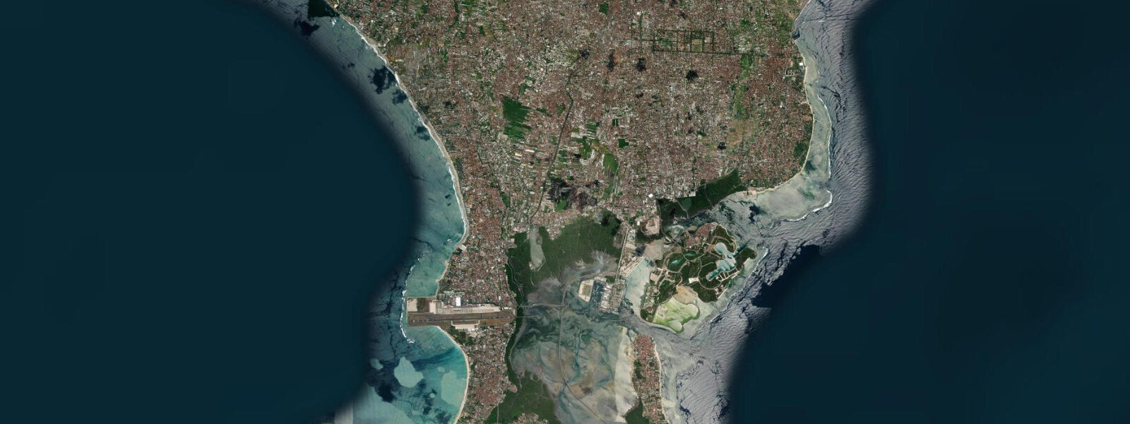
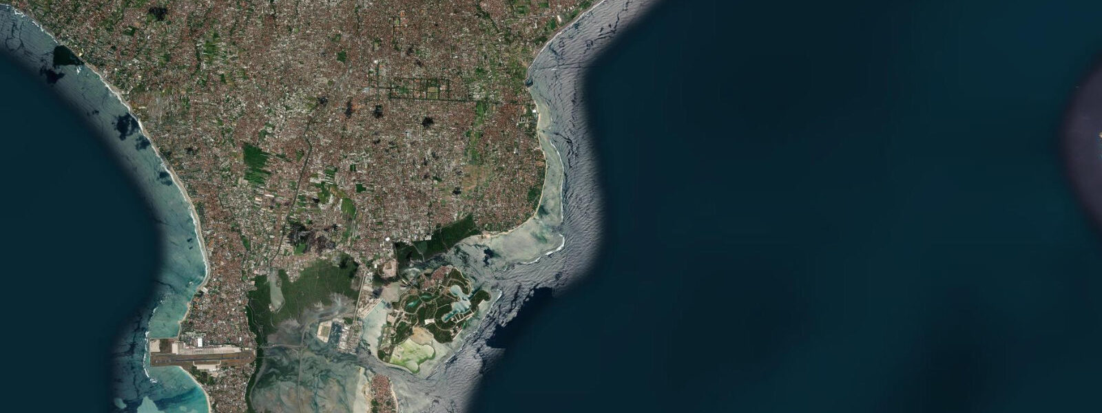
Kuta faces the Indian Ocean directly from Bali's southwest coast, backed by the beach road and the dense commercial strip that has built up since the 1970s. The beach runs roughly 3 km from the Ngurah Rai International Airport boundary in the south to where the sand transitions into Legian beach to the north. Between those endpoints, the width of the usable beach changes by 60 to 100 m across a tidal cycle.
The tide at Kuta is semidiurnal — two high tides and two low tides in each 24-hour period — with a mean range of 1.0 to 2.0 m. The Indonesian tropical regime introduces significant diurnal inequality: the morning and afternoon high tides differ measurably in height, sometimes by 0.5 m or more, and the same applies to the two daily low tides. On a day with a high morning high and a low afternoon high, the beach strip at 07:00 may be 30 m wider than it is at 17:00, even though the direction of tide change is the same. The practical consequence is that the beach conditions at a given clock hour vary substantially across the week as the tidal phase shifts.
At low water, the beach at Kuta is at its widest — 80 to 100 m of firm, wave-washed sand from the water's edge to the sea wall. The breaking wave moves 60 to 80 m further offshore compared with high water, which shifts the surf zone into slightly deeper water and changes the wave shape. For families with children, low water is the safer window: the wave energy breaks further from the beach, the run-up reaches less far, and there is a wide flat sand section between the wave zone and the beach road. At high water, that buffer compresses to 20 to 30 m of sand, and the waves break closer to the populated beach strip. At peak-season high water — July and August on a high spring tide — the beach in front of the main warungs becomes genuinely crowded, with little separation between beach infrastructure and breaking waves.
Kuta's position on the open Indian Ocean southwest coast means it receives consistent swell year-round, but the volume and energy shift by season. From April to October, the southeast trade wind system drives reliable 1.5 to 2.5 m swells from the south and southwest — the dry season is the consistent swell season. From November to March, the wet season brings northwest winds, reduced swell consistency, and periods of onshore chop that make the beach surface less clean. The wave break at Kuta is a beach break, meaning it shifts location with sand movement and changes character as the tide runs: the inside reform section at mid-tide is a different wave to the fuller outside section at low water.
The beach at Kuta has a documented plastic debris problem. Ocean circulation patterns — specifically the Java Sea outflow and the Indonesian Throughflow — bring floating waste from across the Indonesian archipelago westward along the south Bali coast. The accumulation is seasonal: it peaks during the northwest monsoon season from November through March, when onshore winds and currents concentrate debris on the southwest-facing beaches. Kuta and Legian receive the bulk of this load; organised clean-up operations run year-round and are publicly visible in the early mornings, before beach activity peaks. The situation is tracked publicly by coastal environmental organisations monitoring the Java Sea waste load. It is context that informs when to visit (dry season reduces the visible accumulation) and what to expect.
Ngurah Rai Airport's main runway approach track passes directly over the south end of Kuta beach. Aircraft on final approach to runway 09 pass at 200 to 300 m altitude directly overhead — low enough to read the airline livery clearly. This is not a hidden fact; it is one of the more unusual sensory features of the southern beach, most noticeable from late morning onward when arrival traffic is heaviest. The approach path makes the southern 500 m of beach less suited to quiet relaxation and more of interest to anyone who finds the combination of ocean and arriving aircraft compelling.
Tide data for Kuta, Bali comes from the Open-Meteo Marine API, a gridded model product. Timing accuracy is ±45 minutes, height accuracy ±0.3 m — usable for trip planning, not for navigation.
Tide questions about Kuta, Bali
Quick answers to the most common questions about tide times, range, and water access at Kuta, Bali.
How much does the beach width change with the tide at Kuta?
At low water, Kuta beach is 80 to 100 m wide from waterline to sea wall — firm, flat sand with the wave break 60 to 80 m further offshore than at high water. At high water on a spring tide, the usable beach compresses to 20 to 30 m. The difference is most pronounced during the spring tidal phase around new moon and full moon, when tidal range peaks at close to 2.0 m. During neap tides, the range drops to around 1.0 m and the beach width variation is less dramatic. The morning and afternoon tides also differ in height due to diurnal inequality in the Indonesian tidal regime, so the same clock hour can show different conditions on different days in the same week.
What is the best tide and season for families with young children at Kuta Beach?
Low water is the safest window for children: the wave break is furthest offshore, run-up is limited, and there is a wide flat sand buffer between the water and the beach road. Low water on a neap tidal day keeps wave energy modest and consistent. Season matters too: April to October brings dry-season conditions with organised swell from the south, which tends to be more regular and easier to read than the wet-season northwest chop. Earlier in the morning is better than midday — the beach is cooler, crowds are lighter, and the clean-up teams have already worked the sand from the overnight accumulation period.
How does the tide affect wave quality and surfing conditions at Kuta?
Kuta is a beach break, so wave shape is sensitive to tide. At low water, the wave peaks on the outer sandbar and gives a fuller, longer ride with more defined sections — better for experienced surfers looking for a proper wave face. At mid-tide the inside reform produces a shorter, softer wave that works for beginner lessons. At high water, the wave closes out more quickly on the steep beach face. The dry season from April to October delivers the most consistent swell — 1.5 to 2.5 m from the south and southwest. During the wet season, November to March, onshore northwest winds create chop that disrupts the wave face.
What causes the plastic debris on Kuta Beach, and when is it worst?
The debris is driven by ocean circulation, not local sources alone. The Java Sea carries plastic waste from across the Indonesian archipelago westward; during the northwest monsoon from November through March, onshore winds and currents concentrate this material on Bali's southwest-facing beaches. Kuta and Legian receive the heaviest accumulation. Clean-up operations run year-round and are most visible in the early morning hours before beach activity starts. The dry season from April to October, when winds are from the southeast, reduces onshore debris load considerably. Environmental monitoring groups track the accumulation and publish seasonal data online.
Why do aircraft fly so low over the south end of Kuta Beach?
Ngurah Rai International Airport's main runway approach path (runway 09) tracks directly over the southern end of Kuta beach. Aircraft on final approach pass at roughly 200 to 300 m altitude — low enough to clearly see airline liveries and landing gear. This is an unavoidable function of the runway's orientation and the airport's coastal location. Arrival traffic is heaviest from late morning through the afternoon. The southern 500 m of beach, near the airport boundary fence, experiences the most overhead traffic. The rest of Kuta beach, toward Legian, is outside the direct approach corridor and substantially quieter.
7-day tide table — Kuta, Bali
Heights relative to MSL. Predictions: Open-Meteo Marine (MeteoFrance SMOC, 0.08° grid) — heights relative to MSL (not chart datum / LAT). Model-derived.
| Day | Type | Time | Height |
|---|---|---|---|
| Fri 19 Jun | Low | 08:00 | 0.2m |
| High | 12:07 | 1.6m | |
| Low | 18:46 | -0.7m | |
| Sat 20 Jun | High | 01:02 | 1.2m |
| Low | 06:46 | -0.3m | |
| High | 12:54 | 1.4m | |
| Low | 19:25 | -0.7m | |
| Sun 21 Jun | High | 01:48 | 1.1m |
| Low | 07:39 | -0.3m | |
| High | 13:44 | 1.2m | |
| Low | 20:04 | -0.5m | |
| Mon 22 Jun | High | 02:33 | 1.1m |
| Low | 08:38 | -0.2m | |
| High | 14:37 | 0.9m | |
| Low | 20:45 | -0.3m | |
| Tue 23 Jun | High | 03:26 | 1.1m |
| Low | 09:48 | -0.1m | |
| Wed 24 Jun | High | 04:21 | 1.1m |
| Low | 11:12 | -0.1m | |
| High | 17:03 | 0.6m | |
| Low | 22:36 | 0.0m | |
| Thu 25 Jun | High | 05:25 | 1.1m |
| Low | 12:36 | -0.2m | |
| High | 18:38 | 0.5m | |
| Low | 23:45 | 0.1m |