Lovina, Bali tide times
Lovina, Bali tide forecast — heights relative to MSL.
Today's tide times for Lovina, Bali
Tide times at Lovina, Bali on Friday, 19 June 2026: first low tide at 08:00, first high tide at 12:54, second low tide at 20:46. Sunrise 06:31, sunset 18:10.
Tide chart for Lovina, Bali
24-hour cosine-interpolated curve around the present moment. Heights relative to MSL. Predictions: Predictions: Open-Meteo Marine (MeteoFrance SMOC, 0.08° grid).
Sun, moon and conditions on Fri 19 Jun
Snapshot at build time — refreshes daily. Sea state from Open-Meteo Marine.
Highs and lows next 7 days
Every predicted high and low for the next week, with the daily tidal coefficient (0–120; higher = bigger swing, > 95 means stronger currents).
Other spots nearby
The three closest curated TideTurtle locations to Lovina, Bali, measured by great-circle distance.
Today's solunar windows
Solunar tradition: major periods are the ≈3h windows around moon transit and opposition; minor are ≈2h around moonrise and moonset. Pair with the local tide stage and wind for the best read.
Cycle dates near Lovina, Bali
Last spring tide on Fri 19 Jun (range 1.5m). Next spring tide on Thu 25 Jun (range 1.1m). Next neap on Mon 22 Jun.
Spring tides cluster around new and full moons (biggest swings). Neap tides land on quarter moons (smallest swings). See the spring tide and neap tide glossary entries for the why.
About tides at Lovina, Bali
A short guide to the coastline at Lovina, Bali — geography, sea state, and what the tide is actually doing under your feet.
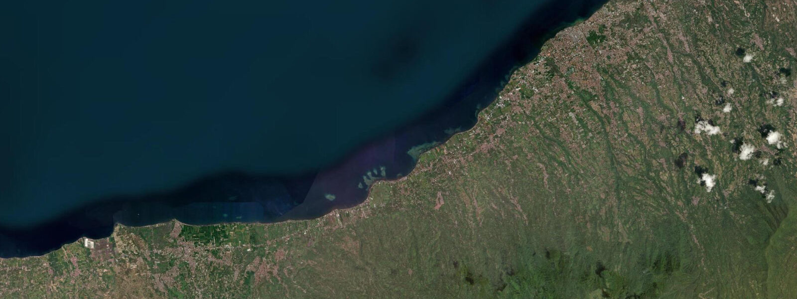
Lovina sits on Bali's north coast, 10 km west of Singaraja on the shore of the Bali Sea. It faces north across the Buleleng Strait toward the island of Java rather than toward the open Indian Ocean, and that geographical fact changes everything about how the water behaves here compared with Kuta or Seminyak on the south coast.
The island mass of Bali blocks virtually all Indian Ocean swell from reaching the north coast. Swells generated south of the island — the dominant swell source for Indonesian waters in the dry season — wrap fractionally around the eastern and western tips of Bali but lose almost all of their energy before reaching Lovina. The result is a north coast that is essentially flat year-round, with wave height rarely exceeding 0.3 m at Lovina beach itself. The Bali Sea generates small locally produced chop in strong winds, but even during the northwest monsoon in December and January this rarely rises above 0.5 m. The water surface off Lovina is calm in a way that is immediately noticeable to anyone arriving from a week on the south coast.
The tidal regime in the Bali Sea is semidiurnal with a mean range of 0.5 to 1.5 m — significantly smaller than the Indonesian tidal systems further west or the Pacific-facing coasts. Diurnal inequality is present but less pronounced than at Kuta. At low water the beach extends 15 to 25 m further than at high, enough to change usable beach area but not enough to dramatically restructure the shoreline. The low-water period is the better time for snorkelling access: the reef edge is closer to a reasonable wading depth and the approach through the shallow near-shore zone is more manageable.
The beach at Lovina is black volcanic sand, the product of volcanic geology in the Buleleng highlands immediately to the south. The sand absorbs heat faster than quartz and becomes notably hot underfoot in the midday hours — approaching temperatures that require footwear to cross comfortably. Morning and late afternoon are the comfortable windows. The black surface creates strong visual contrast with the turquoise Bali Sea water at the shoreline, particularly at low tide when the wet sand surface reflects light.
A fringing reef runs along the Lovina coast at 100 to 300 m from shore, in 3 to 6 m of water. Visibility in the Bali Sea at Lovina typically runs 10 to 15 m — cleaner than the south coast surf zones, which carry suspended sand from wave action. The reef supports hard coral at moderate coverage levels and the fish communities typical of Indonesian reef systems: parrotfish, triggerfish, small reef sharks at the outer edge, and dense populations of damselfishes and wrasses in the coral heads. Snorkelling is accessible from the beach on foot: wade through the near-shore shallows, covering 100 to 200 m at knee to waist depth, and the reef slope begins. Boat access from the beach cuts the transit to under five minutes. Low to mid-tide is the better snorkelling window; at high water the extra depth over the shallower reef sections reduces visibility to the bottom.
Spinner dolphins (Stenella longirostris) are present in the Buleleng Strait year-round. The dolphins feed in offshore deep water overnight and move into the shallower coastal water in the pre-dawn hours, surfacing frequently as they wind down their feeding activity. Dolphin-watching boats depart from Lovina beach at 05:30 to 06:00 — before sunrise — and return by 08:00. The timing is driven by dolphin behaviour, not tidal timing: the pre-dawn surface activity is not tied to the tidal cycle. Boats use small outboards and position upwind or up-current of the school to avoid disturbing the animals. Pod sizes vary from a handful of animals to fifty or more on productive mornings. The activity is not guaranteed — rough sea conditions from northwest winds can disperse the dolphins or push them further offshore — but the species is genuinely resident rather than seasonal, so the probability of an encounter is high on calm mornings.
On the hillside above Lovina, Brahma Vihara Arama is a Theravada Buddhist monastery, the largest of its kind in Bali. The building is visible from the beach road and from the water on a clear day, its orange and white structures standing against the green hillside. The monastery overlooks the coast and gives context for the north Bali landscape — mountains rising sharply from the narrow coastal plain, the Bali Sea extending northward toward Java.
Singaraja, 10 km east of Lovina, is Bali's second city and the former colonial capital of the Dutch East Indies' Bali administration. It has a functioning port on the Buleleng Strait; ferry traffic from Java docks here rather than at south Bali's Gilimanuk. The harbour activity adds occasional vessel traffic to the strait, visible from the Lovina waterfront.
Tide data for Lovina, Bali comes from the Open-Meteo Marine API, a gridded model product. Timing accuracy is ±45 minutes, height accuracy ±0.3 m — usable for trip planning, not for navigation.
Tide questions about Lovina, Bali
Quick answers to the most common questions about tide times, range, and water access at Lovina, Bali.
Why is Lovina beach always calm when the south Bali coast has waves?
Bali's island mass blocks all Indian Ocean swell from reaching the north coast. Swell generated south and southwest of the island — the dominant source for south Bali surf — loses almost all of its energy before any wrapping around the island tips reaches Lovina. The Bali Sea, which Lovina faces, generates only small locally produced chop in strong winds. Even during the northwest monsoon from December to January, wave height at Lovina beach rarely exceeds 0.3 to 0.5 m. The tidal range is also smaller than the south coast, 0.5 to 1.5 m mean, contributing to the overall calmness of the water.
What time do the dolphin-watching boats leave Lovina, and is the trip tidal?
Boats depart from Lovina beach at 05:30 to 06:00 and return by 08:00. The timing is set by dolphin behaviour, not the tide. Spinner dolphins (Stenella longirostris) feed in deep offshore water overnight and move into shallower coastal water in the pre-dawn hours, when they are most active near the surface. This behaviour is not driven by tidal phase — the dolphins are present and surface-active on the same pre-dawn schedule regardless of whether it is high or low water. Calm sea conditions are more relevant than tidal timing: northwest monsoon winds in December to February can push the dolphins further offshore or make the trip uncomfortable.
When is the best time to snorkel at Lovina, and what can you see on the reef?
Low to mid-tide is the better snorkelling window. At low water, the reef edge is at a reachable depth from the beach approach, and the shallower sections of the fringing reef are in 1 to 2 m of water rather than buried under the extra depth of high tide. The Bali Sea visibility typically runs 10 to 15 m — cleaner than south-coast surf zones. The fringing reef at 100 to 300 m from shore supports hard coral communities with parrotfish, triggerfish, wrasses, damselfishes, and reef sharks at the outer edge. Morning snorkelling from 07:00 to 10:00 gives the best light angle for seeing colour on the reef structure.
Is the black sand at Lovina beach hotter than regular beach sand?
Yes. The black volcanic sand absorbs solar radiation more efficiently than white quartz sand, reaching surface temperatures that are uncomfortable or painful to walk on barefoot in the midday hours — roughly 11:00 to 15:00 on sunny days. Footwear worn to the water's edge is the practical solution during that window. Early morning from 06:00 to 09:00 and late afternoon after 16:00 are the comfortable barefoot periods. The wet sand at the waterline stays cooler than the dry upper beach regardless of time of day. The visual payoff of the black sand is strongest at low water, when the wet surface reflects light against the turquoise shallow water.
What is Brahma Vihara Arama, and how far is it from Lovina beach?
Brahma Vihara Arama is a Theravada Buddhist monastery on the hillside directly above Lovina — visible from the beach road and from the water on clear days, its orange and white buildings set against the green slope. It is Bali's largest Buddhist monastery. The drive from Lovina beach takes about 20 minutes up a hill road. The monastery accepts visitors; the hilltop position gives a wide view of the north coast and the Bali Sea. The building was constructed in the 1970s and the design draws on traditional Balinese architectural forms adapted to a Buddhist rather than Hindu program. It is an early-morning or late-afternoon destination — the hillside road gets warm midday and the monastery grounds are more pleasant in cooler light.
8-day tide table — Lovina, Bali
Heights relative to MSL. Predictions: Open-Meteo Marine (MeteoFrance SMOC, 0.08° grid) — heights relative to MSL (not chart datum / LAT). Model-derived.
| Day | Type | Time | Height |
|---|---|---|---|
| Fri 19 Jun | Low | 08:00 | 0.7m |
| High | 12:54 | 1.3m | |
| Low | 20:46 | -0.2m | |
| Sat 20 Jun | High | 04:10 | 0.8m |
| Low | 08:04 | 0.7m | |
| High | 13:50 | 1.1m | |
| Low | 21:19 | -0.0m | |
| Sun 21 Jun | High | 04:42 | 0.9m |
| Low | 09:45 | 0.6m | |
| High | 14:50 | 0.9m | |
| Low | 21:55 | 0.1m | |
| Mon 22 Jun | High | 05:12 | 1.0m |
| Low | 11:50 | 0.5m | |
| Tue 23 Jun | High | 05:50 | 1.1m |
| Wed 24 Jun | Low | 14:40 | 0.2m |
| Thu 25 Jun | High | 07:00 | 1.2m |
| Low | 15:22 | 0.1m | |
| Fri 26 Jun | High | 07:00 | 1.2m |