Sanur, Bali tide times
Sanur, Bali tide forecast — heights relative to MSL.
Today's tide times for Sanur, Bali
Tide times at Sanur, Bali on Sunday, 26 July 2026: first high tide at 08:00, first low tide at 14:36, second high tide at 21:04. Sunrise 06:34, sunset 18:16.
Tide chart for Sanur, Bali
24-hour cosine-interpolated curve around the present moment. Heights relative to MSL. Predictions: Predictions: Open-Meteo Marine (MeteoFrance SMOC, 0.08° grid).
Sun, moon and conditions on Sun 26 Jul
Snapshot at build time — refreshes daily. Sea state from Open-Meteo Marine.
Highs and lows next 7 days
Every predicted high and low for the next week, with the daily tidal coefficient (0–120; higher = bigger swing, > 95 means stronger currents).
Other spots nearby
The three closest curated TideTurtle locations to Sanur, Bali, measured by great-circle distance.
Today's solunar windows
Solunar tradition: major periods are the ≈3h windows around moon transit and opposition; minor are ≈2h around moonrise and moonset. Pair with the local tide stage and wind for the best read.
Cycle dates near Sanur, Bali
Next spring tide on Fri 31 Jul (range 2.2m). Last neap on Sun 26 Jul.
Spring tides cluster around new and full moons (biggest swings). Neap tides land on quarter moons (smallest swings). See the spring tide and neap tide glossary entries for the why.
About tides at Sanur, Bali
A short guide to the coastline at Sanur, Bali — geography, sea state, and what the tide is actually doing under your feet.
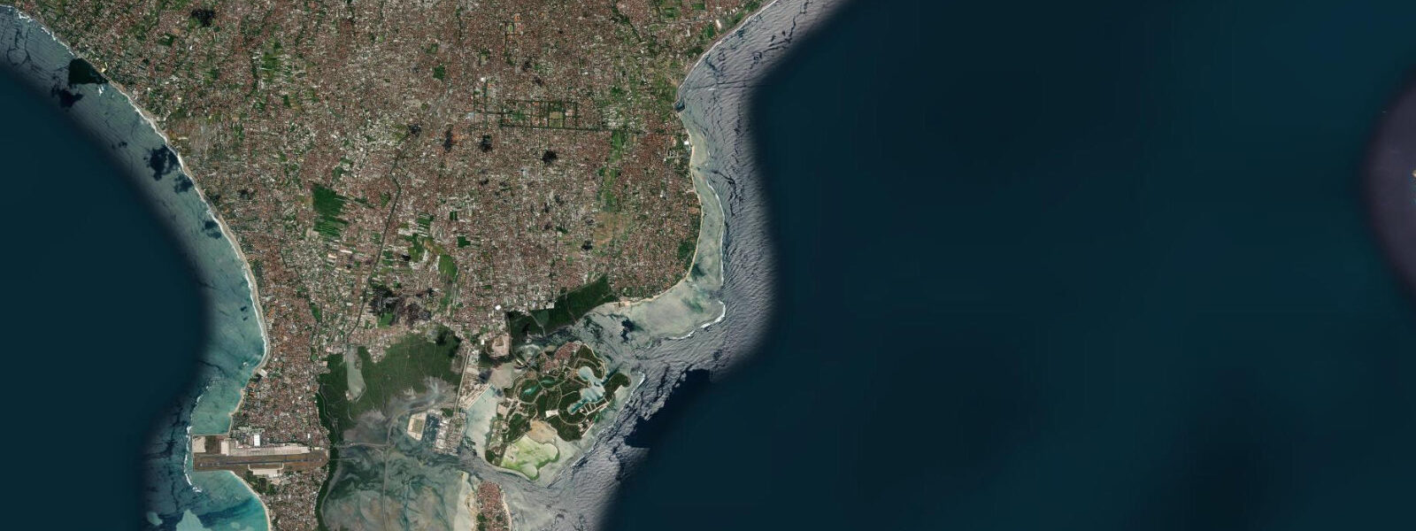
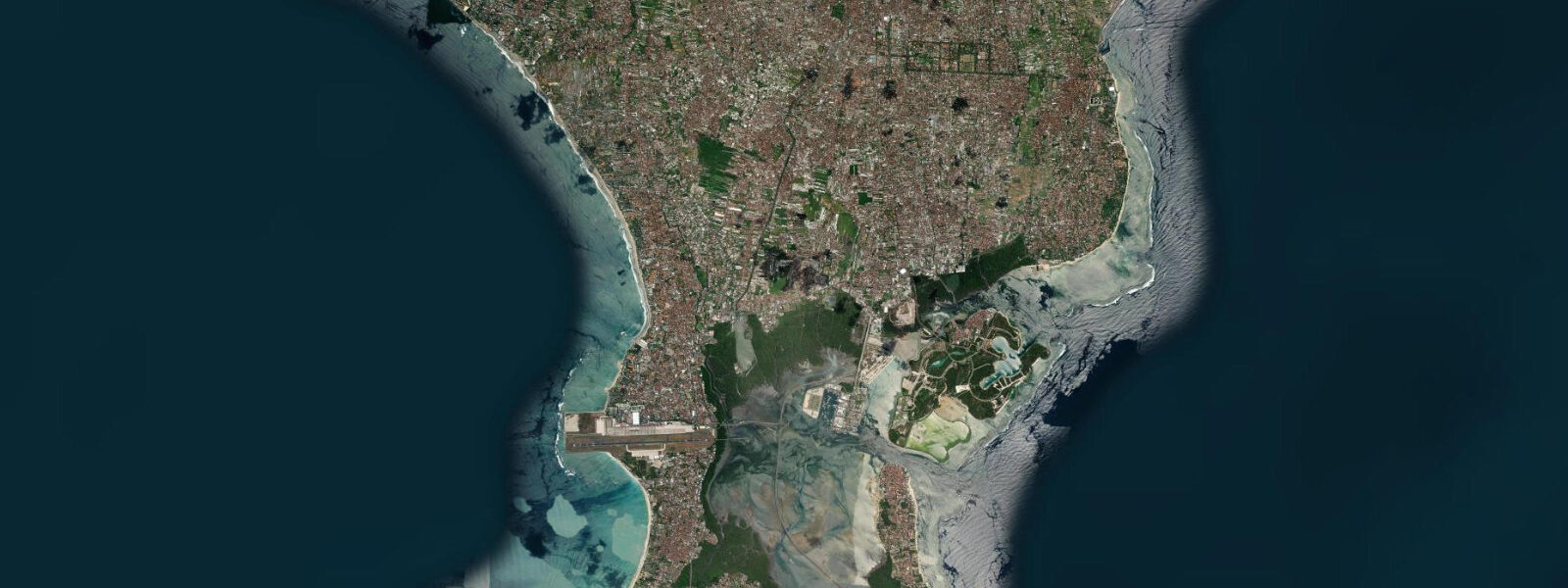
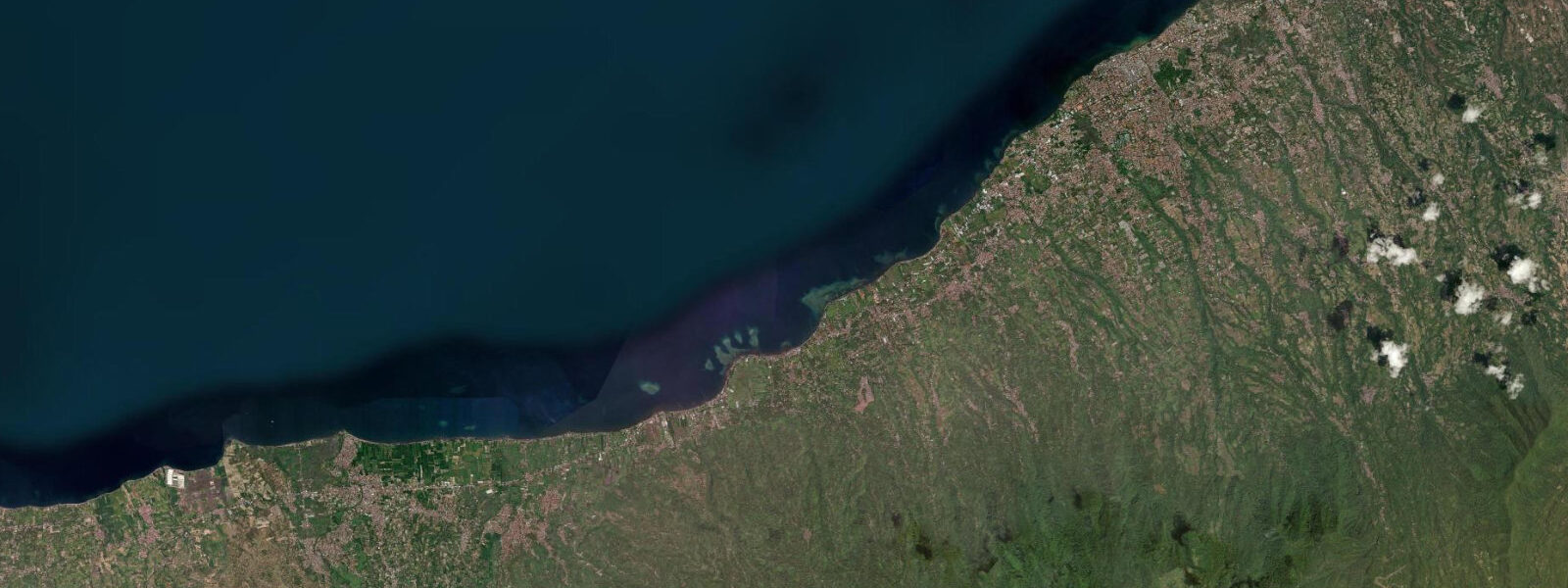
Sanur sits on the calmer south-east coast of Bali, facing the Badung Strait across to Nusa Lembongan and the Bukit Peninsula curling away to the south-west. The reef shelf runs about a kilometre offshore and shelters the long sand-and-coral beach that the Dutch colonial-era hotels first opened up to outside visitors in the 1930s; the current generation of Bali's beach culture is concentrated on the south coast at Kuta and the Bukit, but Sanur retains the gentler, family-oriented identity that the reef geometry gives it. The tide here is a small mixed semidiurnal signal, two highs and two lows of unequal size each day with the asymmetry shifting through the lunar month and pushing toward strongly diurnal at certain phases.
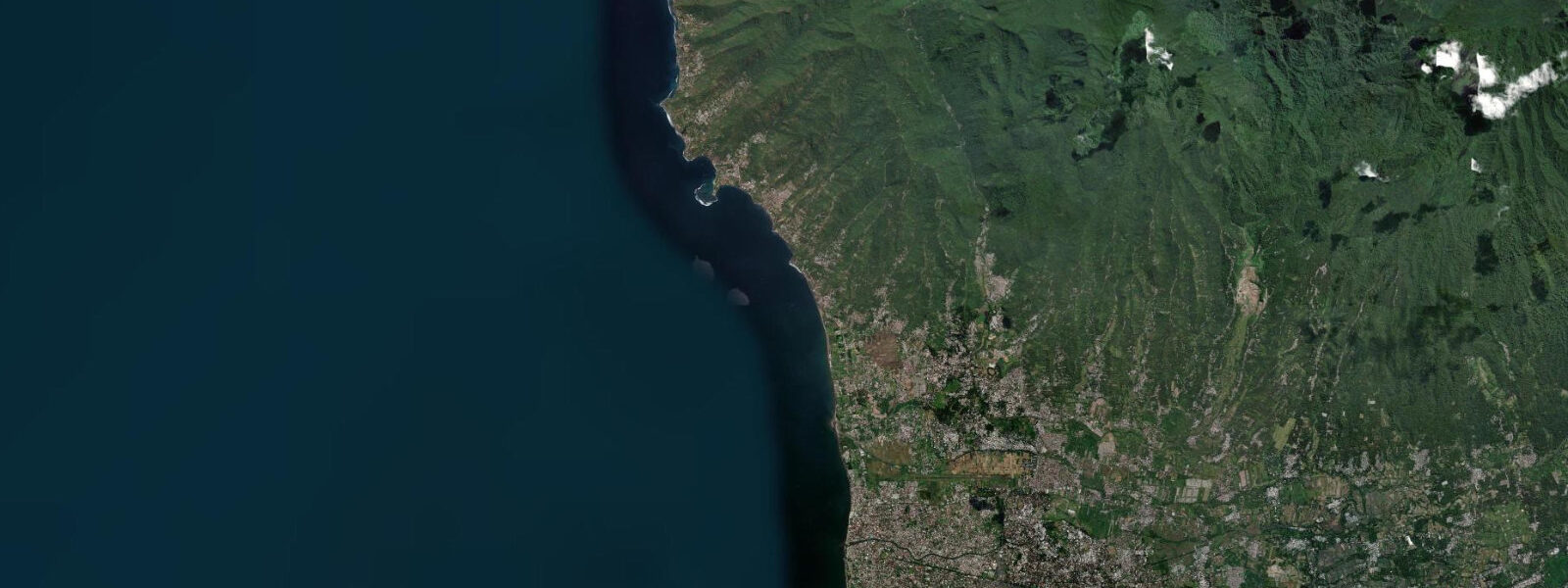
6 metres on neaps. The defining rhythm of the year is the monsoon — the south-west wet monsoon from November through March drives onshore swell against the Bukit's south-coast reef breaks at Uluwatu, Padang Padang, and Bingin and turns the air into something you wear, while the south-east dry monsoon from April through October cleans up the same coastline for the legendary surf season and lets the trade-wind sailors out on the Badung Strait crossing to Nusa Lembongan. Sanur on the east-facing coast reads the same calendar in reverse: family-friendly snorkelling and SUP windows on the inside lagoon fall on the higher half of the cycle when the inside reef shelf clears, and the lowest spring lows expose the inner coral and the seagrass beds that the green sea turtles graze.
The morning rituals at Pura Segara Sanur on the beachfront, the Mertasari mangrove estuary at the southern end of the bay, the working sailing canoe (jukung) fleet still launching from the sand, and the temple ceremony at Pura Tanah Lot up the south-west coast timed to low water for pilgrim access all read the table for different windows. Open-Meteo Marine drives the gridded predictions on this page; for authoritative Indonesian tide data, BMKG and the Pushidrosal Hydrographic and Oceanographic Centre of the Indonesian Navy publish the official tide tables and operate the Benoa harbour reference gauge.
Tide questions about Sanur, Bali
Quick answers to the most common questions about tide times, range, and water access at Sanur, Bali.
When is the next high tide at Sanur?
The hero block shows the next high tide at the Sanur reef gauge in Bali local time (WITA, UTC+8 year-round, no DST). The 7-day table covers all daily highs and lows. The Bali Strait crossing to Nusa Lembongan adds about 15 to 25 minutes to the Sanur high-water timing depending on which channel you take.
What's the typical tide range at Sanur?
Mean range is about 1.4 metres at the harbour and reef gauges, with two highs and two lows of unequal size most days. Spring tides push close to 2.4 metres and neaps drop near 0.6. The asymmetry between the higher high and the lower low varies through the lunar month and shifts toward a strongly diurnal pattern at certain phases — that is normal for the Indonesian archipelago and reflects the meeting of the Indian Ocean and South China Sea tidal systems through the Indonesian seaways.
Where do these tide predictions come from?
Open-Meteo Marine, a gridded global ocean model. Useful for planning the Sanur reef snorkelling, the SUP and outrigger windows on the inside lagoon, and the Nusa Lembongan crossing. For authoritative Indonesian tide data, BMKG and Pushidrosal publish the official tide tables and operate the Benoa reference gauge across the bay.
How does the monsoon cycle affect the surf and reef windows at Sanur?
The south-east dry monsoon from April through October cleans up the south-coast surf at Uluwatu and Padang Padang and brings the calmest reef-snorkelling windows to Sanur on the east coast. The south-west wet monsoon from November through March turns the south coast onshore and messy and pushes the surf to the east-side reefs around Sanur and Nusa Lembongan. The astronomical tide runs the same calendar regardless; the wind and swell pattern is what changes which side of the island reads cleanest.
Is this safe to use for navigation?
No. For piloting Bali's coastal waters, transiting the Badung Strait or the Lombok Strait, or working the reef approaches at Sanur and Benoa use Pushidrosal authoritative tide tables, the Indonesian Hydrographic and Oceanographic Centre nautical charts, and the local BMKG marine weather warnings. The Lombok Strait current can run over four knots on the change of tide and demands real navigational sources.
8-day tide table — Sanur, Bali
Heights relative to MSL. Predictions: Open-Meteo Marine (MeteoFrance SMOC, 0.08° grid) — heights relative to MSL (not chart datum / LAT). Model-derived.
| Day | Type | Time | Height |
|---|---|---|---|
| Sun 26 Jul | High | 08:00 | 0.8m |
| Low | 14:36 | -0.4m | |
| High | 21:04 | 0.4m | |
| Mon 27 Jul | Low | 01:45 | 0.1m |
| High | 08:00 | 0.9m | |
| Low | 15:16 | -0.6m | |
| High | 21:36 | 0.5m | |
| Tue 28 Jul | Low | 02:40 | -0.0m |
| High | 08:48 | 1.0m | |
| Low | 15:50 | -0.7m | |
| High | 22:04 | 0.6m | |
| Wed 29 Jul | Low | 16:15 | -0.8m |
| Thu 30 Jul | High | 10:02 | 1.2m |
| Low | 16:43 | -0.9m | |
| Fri 31 Jul | High | 10:35 | 1.3m |
| Low | 17:09 | -0.9m | |
| High | 23:21 | 0.9m | |
| Sat 01 Aug | Low | 05:03 | -0.5m |
| High | 11:07 | 1.3m | |
| Low | 17:32 | -0.9m | |
| High | 23:45 | 1.0m | |
| Sun 02 Aug | Low | 05:37 | -0.6m |