Senggigi Beach tide times
Senggigi Beach tide forecast — heights relative to MSL.
Today's tide times for Senggigi Beach
Tide times at Senggigi Beach on Sunday, 21 June 2026: first high tide at 14:15, first low tide at 21:10. Sunrise 06:28, sunset 18:06.
Tide chart for Senggigi Beach
24-hour cosine-interpolated curve around the present moment. Heights relative to MSL. Predictions: Predictions: Open-Meteo Marine (MeteoFrance SMOC, 0.08° grid).
Sun, moon and conditions on Sun 21 Jun
Snapshot at build time — refreshes daily. Sea state from Open-Meteo Marine.
Highs and lows next 7 days
Every predicted high and low for the next week, with the daily tidal coefficient (0–120; higher = bigger swing, > 95 means stronger currents).
Other spots nearby
The three closest curated TideTurtle locations to Senggigi Beach, measured by great-circle distance.
Today's solunar windows
Solunar tradition: major periods are the ≈3h windows around moon transit and opposition; minor are ≈2h around moonrise and moonset. Pair with the local tide stage and wind for the best read.
Cycle dates near Senggigi Beach
Next spring tide on Sat 27 Jun (range 1.3m). Next neap on Fri 26 Jun.
Spring tides cluster around new and full moons (biggest swings). Neap tides land on quarter moons (smallest swings). See the spring tide and neap tide glossary entries for the why.
About tides at Senggigi Beach
A short guide to the coastline at Senggigi Beach — geography, sea state, and what the tide is actually doing under your feet.
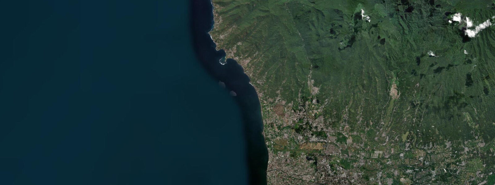
Senggigi runs along Lombok's northwest coast for approximately 10 km, a sequence of small bays and headlands that makes up the island's main resort strip. The name applies loosely to the entire stretch from Mangsit in the north to Batu Layar in the south, with the densest concentration of accommodation and restaurants in the central section around the main beach and the strip south to Batu Bolong. Senggigi sits on the Lombok Strait, the channel between Lombok and Bali, and the tidal and oceanographic dynamics of the strait are part of the daily backdrop.
The Balinese volcanic skyline is the view from every beach on the strip: Gunung Agung (3,142 m, Bali's highest peak) is visible on the western horizon on clear mornings and evenings, along with the lower profile of the Batur caldera to the north. On days with exceptional clarity — particularly after rain clears the air — Agung's profile is sharp enough to see the summit caldera. 0 m.
2 m above Chart Datum), the beach at the main Senggigi central bay widens to 30–40 m of sand and tidal flat; at high spring the beach narrows to 10–15 m. The sand here is coarser than the white beach of the Gili Islands — the volcanic geology of Lombok produces darker, slightly grey-brown sand that is characteristic of the island's west coast. The Batu Bolong Temple (Pura Batu Bolong) sits on a small rocky headland 3 km south of the main Senggigi strip, connected to the road by a short causeway.
The temple is built over the natural hole (batu bolong = hollow stone) in the coastal rock platform, through which the sea passes at high water. 8 m and is accessible on foot; the hole in the rock is fully visible and the structure of the platform is clear. At high spring water, the sea covers the platform to mid-calf depth.
The temple is active and visitors are expected to wear a sarong; sarong rental is available at the entrance. The Pura Batu Bolong sunset is one of Senggigi's standard photographic subjects — the temple on its rock, silhouetted against the Bali skyline and the Lombok Strait, works best when low tide exposes the platform in the foreground and the light catches Agung in the background. The predicted sunset time and the predicted low-water time determine whether this combination is achievable on a given day; in practice the alignment works best when the low falls within two hours of local sunset.
Shore fishing from the headlands between the Senggigi bays is productive for small reef fish, jack, and occasional barracuda on the tidal current. The incoming flood tide is the standard productive window — the current around the headland structures activates feeding. Boat fishing operates from Senggigi pier primarily for skipjack and yellowfin tuna on the Lombok Strait; the tuna runs are seasonal (June–September on the SE trade current).
Kayaking from Senggigi's central beach is practical in calm weather; the SE trade wind (May–September) creates a reliable afternoon chop on the strait that makes afternoon paddles back to the beach a workout against wind and wave. Morning paddles in the SE trade season are smooth. 0 m at mid-to-high tide.
3 m. BIG (Badan Informasi Geospasial) publishes official Indonesian tide tables.
Tide questions about Senggigi Beach
Quick answers to the most common questions about tide times, range, and water access at Senggigi Beach.
Can I walk on the rock platform at Batu Bolong Temple at low tide?
Yes. Pura Batu Bolong sits on a coastal rock platform 3 km south of the main Senggigi strip. At spring low tide (predicted low approaching 0.1–0.2 m above Chart Datum at Senggigi), the rock platform around the temple base is exposed and accessible on foot — the platform height above the spring low waterline is 0.6–0.8 m. The natural hole (batu bolong) through the rock is fully visible at low water. At high spring, the sea covers the outer platform to ankle-to-calf depth. The accessible window is approximately 1.5–2 hours either side of the predicted low. Visitors must wear a sarong on the temple grounds; sarong rental is at the entrance gate. Photography of the temple from the exposed rock platform in low-angle evening light is the standard approach — check whether the predicted low falls within 2 hours of local sunset for the best combination.
What is the view of Bali like from Senggigi?
On clear days, particularly in the dry season (May–September) and in the early morning before sea-haze builds, the Bali volcanic profile is sharp from every beach on the Senggigi strip. Gunung Agung (3,142 m) dominates the view — the summit caldera is visible in good conditions. The Batur caldera rim (1,717 m) appears further north along the Bali skyline. The Lombok Strait between Senggigi and the Bali coast is approximately 35 km wide. The view is best before 09:00 and after 16:00, when the sun angle reduces haze glare. After rain, the air is clearest and the Agung profile is sharpest. Sunset from Batu Bolong Temple (3 km south of the main strip) combines the temple silhouette with the Bali skyline; the low-tide rock platform in the foreground adds depth to the frame.
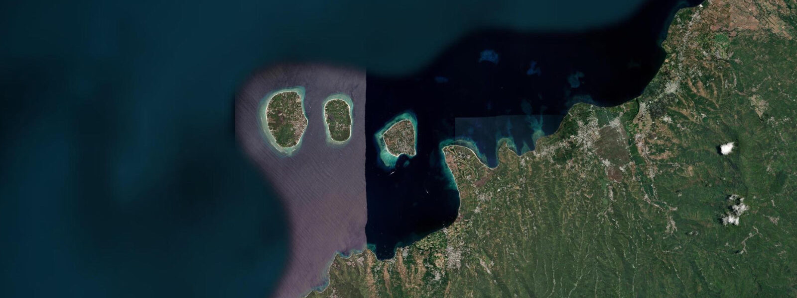
Is Senggigi a good base for day trips to the Gili Islands?
Yes — Senggigi is the closest mainland point to the Gili Islands. The Gili transfer options from Senggigi: public bemo (shared minivan) from Senggigi to Bangsal pier, 20–25 minutes, then public wooden boat from Bangsal to Gili T, 30 minutes. Alternatively, private fast boat charter from Senggigi Beach, approximately 30 minutes direct to Gili T, 45 minutes to Gili Meno or Gili Air. The fast-boat direct service from the beach requires a depth check at the entry point — at low spring the shore approach at Senggigi's main beach can be shallow (0.3–0.5 m) for the fast boat hull draft, and passengers may board from the pier rather than the beach. Check predicted tidal state if you are booked on a very early-morning departure.
What is the snorkelling like at the Senggigi Reef?
The Senggigi Reef sits off the headland between the main Senggigi beach and the Gili Indah village to the north, accessible by swimming or paddling 200–300 m from the shore. Depth over the reef is 1.0–3.0 m at mid-to-high tide; at low spring the flat can drop to 0.3–0.5 m, uncomfortable without touching coral. The reef is a fringing system rather than a pristine offshore reef — coral health is mixed, but fish populations are reasonable, with parrotfish, wrasse, and occasional small reef sharks. Best window is the two hours either side of high water for maximum depth and clearest water before the ebb resuspends sediment. The Lombok Strait current runs through the area on spring ebb and flood; snorkellers should stay close to the headland side of the reef, away from the main current channel.
Where do the tide predictions for Senggigi come from?
Predictions on this page are from Open-Meteo Marine, a free gridded global ocean model, with typical accuracy of ±45 minutes on timing and ±0.2–0.3 m on height. The tidal signal at Senggigi is dominated by the Lombok Strait dynamics — the strait's position in the Indonesian Throughflow means that the tidal current and the broader oceanographic current are often superimposed. The tidal height prediction from the gridded model is suitable for beach planning and snorkelling windows. For vessel operations in the Lombok Strait, use BIG (Badan Informasi Geospasial) official tables and current charts. Not for navigation.
8-day tide table — Senggigi Beach
Heights relative to MSL. Predictions: Open-Meteo Marine (MeteoFrance SMOC, 0.08° grid) — heights relative to MSL (not chart datum / LAT). Model-derived.
| Day | Type | Time | Height |
|---|---|---|---|
| Sun 21 Jun | High | 14:15 | 1.0m |
| Low | 21:10 | 0.1m | |
| Mon 22 Jun | High | 04:12 | 1.0m |
| Low | 10:18 | 0.5m | |
| High | 15:20 | 0.8m | |
| Low | 21:45 | 0.3m | |
| Tue 23 Jun | High | 05:00 | 1.0m |
| Low | 22:10 | 0.4m | |
| Wed 24 Jun | High | 05:47 | 1.1m |
| Low | 14:00 | 0.3m | |
| High | 20:00 | 0.6m | |
| Low | 22:54 | 0.5m | |
| Thu 25 Jun | High | 06:22 | 1.2m |
| Low | 14:50 | 0.1m | |
| High | 22:00 | 0.6m | |
| Low | 23:50 | 0.6m | |
| Fri 26 Jun | High | 07:15 | 1.2m |
| Sat 27 Jun | Low | 00:50 | 0.6m |
| High | 07:56 | 1.2m | |
| Low | 16:00 | -0.1m | |
| High | 23:06 | 0.7m | |
| Sun 28 Jun | Low | 01:54 | 0.6m |
| High | 07:00 | 1.2m |