Ende Bay tide times
Ende Bay tide forecast — heights relative to MSL.
Today's tide times for Ende Bay
Tide times at Ende Bay on Sunday, 21 June 2026: first low tide at 08:32, first high tide at 14:32, second low tide at 20:55. Sunrise 06:06, sunset 17:43.
Tide chart for Ende Bay
24-hour cosine-interpolated curve around the present moment. Heights relative to MSL. Predictions: Predictions: Open-Meteo Marine (MeteoFrance SMOC, 0.08° grid).
Sun, moon and conditions on Sun 21 Jun
Snapshot at build time — refreshes daily. Sea state from Open-Meteo Marine.
Highs and lows next 7 days
Every predicted high and low for the next week, with the daily tidal coefficient (0–120; higher = bigger swing, > 95 means stronger currents).
Other spots nearby
The three closest curated TideTurtle locations to Ende Bay, measured by great-circle distance.
Today's solunar windows
Solunar tradition: major periods are the ≈3h windows around moon transit and opposition; minor are ≈2h around moonrise and moonset. Pair with the local tide stage and wind for the best read.
Cycle dates near Ende Bay
Last spring tide on Sun 21 Jun (range 1.9m). Next spring tide on Sat 27 Jun (range 1.8m). Next neap on Wed 24 Jun.
Spring tides cluster around new and full moons (biggest swings). Neap tides land on quarter moons (smallest swings). See the spring tide and neap tide glossary entries for the why.
About tides at Ende Bay
A short guide to the coastline at Ende Bay — geography, sea state, and what the tide is actually doing under your feet.
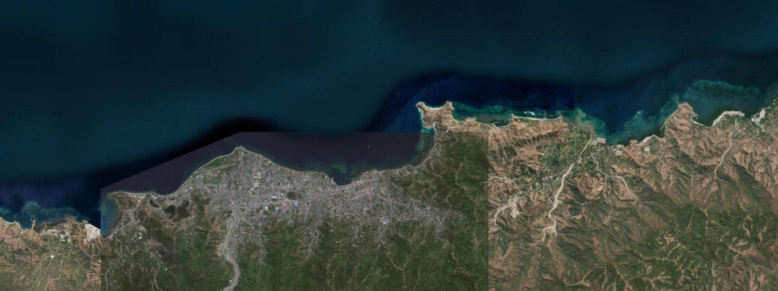
Ende is the main town on Flores's south coast, facing the Savu Sea across a wide bay flanked by the twin volcanic peaks of Gunung Iya (637 m) and Gunung Meja (400 m) that define the town's skyline on the landward side. The town sits on a narrow peninsula between Ende Bay to the east and Ipi Bay to the west, and the harbour occupies the sheltered eastern bay. Ende is the geographic and administrative centre of the island — the main port for inter-island ferry services on the south coast route, the hub for road access to the Kelimutu crater lakes 50 km east, and the town where Indonesian independence's intellectual foundation has a specific, physical address.
Sukarno — Indonesia's first president — was exiled to Ende by the Dutch colonial government from 1934 to 1938. The tamarind tree under which he is said to have formulated the foundational principles of Pancasila (the five philosophical pillars of the Indonesian state) still stands in a small public park near the harbour. The Sukarno house, maintained as a museum, is on the main street a short walk from the waterfront.
Both sites are small and low-key, but they carry genuine historical weight. 0 m. The south coast exposure to the Savu Sea brings a slightly larger tidal signal than the north coast of Flores experiences, and the bay is open to the south-southwest — the swell track of the Indian Ocean southern fetch.
5 m; the harbour is partially sheltered by the peninsula headland, but the outer bay is exposed. During the NW monsoon (December–March), the swell direction reverses and the outer bay is more protected from wind wave. The fishing harbour at Ende handles the full spring tidal range on the pier.
Outrigger fishing boats (jukung) operate from the beach east of the main pier, hauled above the high-water line when not in use. The local fishermen target tuna and mackerel from boat, and shore fishing from the rocky promontory between Ende Bay and Ipi Bay produces barracuda and smaller reef species on the tidal current. The flood tide is the productive shore-fishing window at the promontory; the run-in current activates feeding on the rocky structure.
The beach in Ende Bay — a narrow strip of dark volcanic sand and coral rubble — is not a swimming beach by the usual standards, but it serves as the fishing fleet's operating ground and the view from the beach east across the bay toward the Savu Sea is unobstructed. The Kelimutu crater lakes, 50 km east of Ende via a paved road, are Flores's most visited inland attraction — three volcanic crater lakes of different colours (one black, one turquoise-green, one deep red-brown, though the colours shift over years as volcanic chemistry changes). The hike to the crater rim from the car park takes 15 minutes on a paved path; the standard schedule is to arrive at the car park by 05:30 for the sunrise view.
The lakes are at 1,690 m elevation; bring a layer. 5 hours each way, or public minibuses from Ende terminal (less frequent, 2–3 hours). Ende Bay is the coastal access point for Kelimutu — travellers flying in to H.
Hasan Aroeboesman Airport (Ende, ENE) and heading for the lakes pass through Ende Bay before climbing to the plateau. 3 m. BIG (Badan Informasi Geospasial) publishes the authoritative Indonesian tide tables for Ende and the surrounding south Flores coast.
Tide questions about Ende Bay
Quick answers to the most common questions about tide times, range, and water access at Ende Bay.
What is the historical significance of Ende for Sukarno?
Ende was the site of Sukarno's political exile from 1934 to 1938, imposed by the Dutch colonial government as a response to his nationalist activities. During those four years in Ende, Sukarno is credited with developing and articulating Pancasila — the five foundational principles of the Indonesian state (belief in God, humanity, national unity, democracy, and social justice). The tamarind tree under which he sat to think and write stands in a small public park near the Ende harbour waterfront; the house where he lived during the exile is maintained as a museum on Jl. Perwira, a short walk from the harbour. Both sites are open to visitors with minimal admission fees. The historical significance is genuine — Ende is a rare example of a town whose period of obscurity directly shaped a modern nation's constitutional philosophy.
What is the tidal range at Ende Bay and how does it affect the harbour?
Spring tidal range at Ende Bay is approximately 2.5–3.0 m on the Savu Sea south coast exposure. The semidiurnal regime produces two highs and two lows per day. The main harbour pier handles the full range — the pier is built to accommodate the spring tidal swing, and ferry and cargo boat operations are not tide-restricted under normal weather conditions. The outrigger fishing boats (jukung) operating from the beach east of the pier are hauled well above the high-water line when not in use, handling the spring range without a fixed pier. At low spring, the beach east of the pier widens by 30–40 m of tidal flat, and the approach to the outer mooring buoys requires navigation through the shallows. Predictions are from Open-Meteo Marine, ±45 min / ±0.2–0.3 m; BIG publishes the authoritative tables.
How do I get from Ende to the Kelimutu crater lakes?
Kelimutu National Park is 50 km east of Ende, at 1,690 m elevation. The road from Ende to the park car park is paved and takes 1.5 hours by private car or motorbike. Public minibus services run from Ende's Wolowona terminal toward Moni village (the standard visitor base near Kelimutu), approximately 2–3 hours, less frequent and with waiting time at the terminal. Private car hire from Ende guesthouses runs approximately 300,000–400,000 IDR round trip, including waiting time at the crater. The standard schedule: depart Ende by 04:00 for sunrise arrival (park car park by 05:30, 15-minute walk to the rim). Sunrise at the crater at around 06:00 gives the best colour contrast between the lakes. The lakes' colours shift over years as the volcanic chemistry evolves — the current state (black, turquoise-green, and red-brown) may differ from older photographs.
Is there good fishing in and around Ende Bay?
Yes. Ende Bay has an active fishing economy, with tuna and mackerel as the main commercial species. Shore fishing from the rocky promontory between Ende Bay and Ipi Bay (the peninsula's western bay) is productive for barracuda, trevally, and smaller reef fish on the flood tide. The flood current activates feeding behaviour around the headland rocks; the productive window is 2–3 hours either side of the predicted low, as the tide turns and floods. The angler tradition that uses the lunar cycle to score fishing days rates the spring-tide periods (full and new moon) more highly due to the stronger current. Boat fishing for skipjack and yellowfin tuna on the Savu Sea is seasonal — the SE trade season (May–September) brings the tuna runs close to the south coast on the trade current. Arrangements for boat fishing are informal through the local fishing community at the Ende harbour.
Where do the tide predictions for Ende Bay come from?
Predictions on this page are from Open-Meteo Marine, a free gridded global ocean model, with typical accuracy of ±45 minutes on timing and ±0.2–0.3 m on height. For a south Flores coastal town with a spring range of 2.5–3.0 m, the model accuracy is a manageable fraction of the total signal — the predictions are useful for harbour visit planning, fishing window assessment, and beach access. BIG (Badan Informasi Geospasial) publishes the authoritative Indonesian tide tables; H. Hasan Aroeboesman Airport (ENE) in Ende receives regular connections from Bali and Kupang via Wings Air and TransNusa. For ferry operations from Ende harbour (services to Kupang, Waingapu, and other Nusa Tenggara destinations), use the PELNI ferry schedule and BIG tide tables for port approach timing. Not for navigation.
8-day tide table — Ende Bay
Heights relative to MSL. Predictions: Open-Meteo Marine (MeteoFrance SMOC, 0.08° grid) — heights relative to MSL (not chart datum / LAT). Model-derived.
| Day | Type | Time | Height |
|---|---|---|---|
| Sun 21 Jun | Low | 08:32 | -0.2m |
| High | 14:32 | 1.3m | |
| Low | 20:55 | -0.5m | |
| Mon 22 Jun | High | 03:20 | 1.3m |
| Low | 09:33 | -0.2m | |
| High | 15:26 | 1.0m | |
| Low | 21:36 | -0.3m | |
| Tue 23 Jun | High | 04:12 | 1.3m |
| Low | 10:42 | -0.2m | |
| Wed 24 Jun | High | 05:07 | 1.2m |
| Low | 12:00 | -0.2m | |
| High | 17:57 | 0.6m | |
| Low | 23:25 | 0.0m | |
| Thu 25 Jun | High | 06:06 | 1.2m |
| Low | 13:20 | -0.3m | |
| Fri 26 Jun | High | 07:10 | 1.2m |
| Sat 27 Jun | Low | 01:50 | 0.1m |
| High | 08:07 | 1.2m | |
| Low | 15:15 | -0.6m | |
| High | 21:46 | 0.8m | |
| Sun 28 Jun | Low | 02:47 | 0.0m |
| High | 07:00 | 1.0m |