Labuan Bajo tide times
Labuan Bajo tide forecast — heights relative to MSL.
Today's tide times for Labuan Bajo
Tide times at Labuan Bajo on Sunday, 21 June 2026: first high tide at 08:00, first low tide at 11:06, second high tide at 16:36, second low tide at 22:57. Sunrise 06:13, sunset 17:50.
Tide chart for Labuan Bajo
24-hour cosine-interpolated curve around the present moment. Heights relative to MSL. Predictions: Predictions: Open-Meteo Marine (MeteoFrance SMOC, 0.08° grid).
Sun, moon and conditions on Sun 21 Jun
Snapshot at build time — refreshes daily. Sea state from Open-Meteo Marine.
Highs and lows next 7 days
Every predicted high and low for the next week, with the daily tidal coefficient (0–120; higher = bigger swing, > 95 means stronger currents).
Other spots nearby
The three closest curated TideTurtle locations to Labuan Bajo, measured by great-circle distance.
Today's solunar windows
Solunar tradition: major periods are the ≈3h windows around moon transit and opposition; minor are ≈2h around moonrise and moonset. Pair with the local tide stage and wind for the best read.
Cycle dates near Labuan Bajo
Last spring tide on Sun 21 Jun (range 1.1m). Next spring tide on Sat 27 Jun (range 1.4m). Next neap on Wed 24 Jun.
Spring tides cluster around new and full moons (biggest swings). Neap tides land on quarter moons (smallest swings). See the spring tide and neap tide glossary entries for the why.
About tides at Labuan Bajo
A short guide to the coastline at Labuan Bajo — geography, sea state, and what the tide is actually doing under your feet.
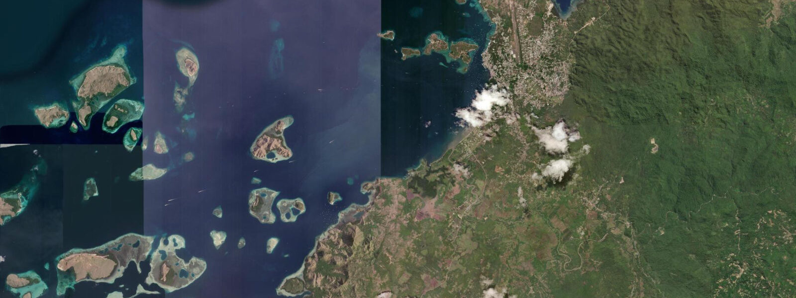
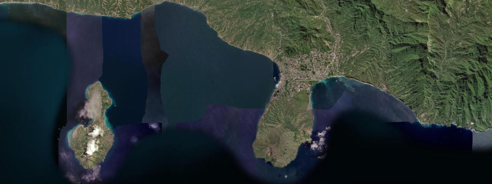
Labuan Bajo is the western gateway to Komodo National Park, perched on the tip of Flores island above a harbour scattered with limestone islands, shallow reefs, and the masts of liveaboard dive boats. Twenty years ago it was a modest fishing town; today it is the fastest-growing tourism hub in eastern Indonesia, with a new international airport (upgraded to receive wide-body jets in 2021), a redesigned waterfront, and an accommodation range that runs from basic guesthouses to resort liveaboards at $400 per night. The town faces northwest across the park; the islands of Rinca, Komodo, and Padar are visible on the horizon from the hilltop sunset viewpoints above the harbour.
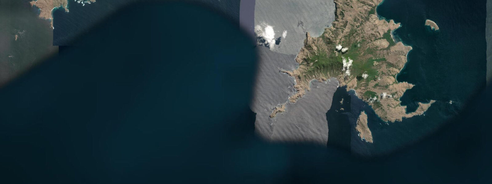
5 m above Chart Datum. The harbour itself is sheltered by the ring of small limestone islands — collectively known as the Labuan Bajo island cluster — and the tidal current in the inner harbour is manageable. The channels between the islands and between the park islands further out are a different matter.
The channel between Flores and Rinca Island carries tidal currents up to 4 knots at springs; the main park channels around Komodo Island, the Linta Strait, and the Molo Strait see 4–8 knots at peak springs. These currents make Komodo a world-class drift diving destination: the walls and pinnacles around the park are swept by clear, nutrient-rich water that supports manta rays, reef sharks, giant trevally schools, and the highest fish biomass in Southeast Asia. Dive operators in Labuan Bajo plan every dive site selection around the tidal current state.
The day-trip and liveaboard briefing always includes the current prediction: which sites are running on which phase, and what the current strength will be at the scheduled dive time. Cannibal Rock (south Rinca) and Crystal Rock (north Komodo) are best approached on a specific current phase each day — operators have site-specific current charts that go beyond the generic high-low tide prediction. The komodo dragon sites — Rinca Island (closer to Labuan Bajo, 2 hours by day-trip boat) and Komodo Island (3–4 hours) — are visited by day trips and liveaboards.
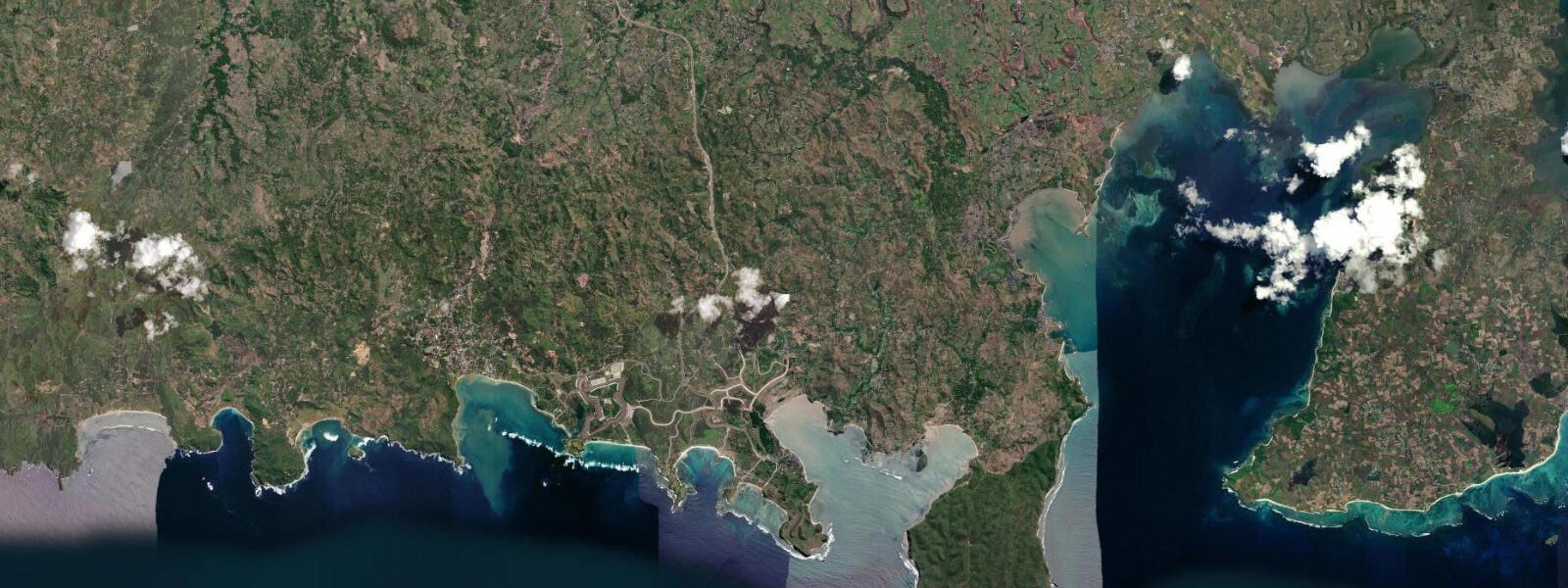
The animal encounters at the ranger stations are independent of tidal state; the landing beaches on Rinca and Komodo are accessible at any tidal stage, though on the very lowest spring lows the boat approach to the Komodo Island ranger station beach (Loh Liang) requires careful navigation in the shallows. Pink Beach (Pantai Merah) on Komodo Island's east coast is the most photographed beach in the park; it is reachable by day trip from Labuan Bajo in 3 hours and combines a snorkel stop on the reef with the beach visit. The pink colour of the sand — from Foraminifera (Marginopora vertebralis) fragments mixed into the silica sand — is most vivid under overcast light, which softens the direct-sun bleaching that can wash out the colour in midday conditions.
0 m depth. 5 m of water — clearer, more comfortable depth for snorkellers. The Padar Island viewpoint is 45 minutes by boat from Labuan Bajo.
The hike from the landing beach to the ridge viewpoint takes 30–45 minutes on a stepped path; the landing beach at Padar is accessible at all tidal stages. The view from the ridge shows three bays below, each a different colour depending on sediment and depth. The best photography window is the 40-minute bracket around sunrise, which requires leaving Labuan Bajo by 04:00.
Fishers in the Labuan Bajo harbour area work the reef and the shallow channel margins; the early morning pre-dawn departure of the local fishing fleet (03:00–04:30) is a harbour scene that coincides with the start of the dive-boat preparation day. 3 m. BIG (Badan Informasi Geospasial) publishes the authoritative Indonesian tide tables and current charts used by park operators.
Tide questions about Labuan Bajo
Quick answers to the most common questions about tide times, range, and water access at Labuan Bajo.
How do tidal currents affect diving in Komodo National Park?
Komodo's tidal currents are the defining feature of the dive environment. The main park channels — the Linta Strait (between Sumbawa and Komodo) and the Molo Strait (between Komodo and Flores) — reach 4–8 knots at spring ebb and flood. The channel between Flores and Rinca Island (closer to Labuan Bajo) runs at 3–4 knots at spring. Dive operators use these currents to plan drift dives at walls, pinnacles, and seamounts across the park. Cannibal Rock (south Rinca), Crystal Rock (north Komodo), and Batu Bolong seamount each have optimal current phases. Neap tide periods produce gentler conditions suited to less experienced divers; spring tide periods produce the strongest drift dives and the highest fish activity. Every dive briefing includes the current prediction for the day; operators have site-specific current charts. Predictions here are from Open-Meteo Marine, ±45 min / ±0.2–0.3 m; BIG publishes the official Indonesian tables.
What is the best way to see komodo dragons from Labuan Bajo?
Day trips from Labuan Bajo visit either Rinca Island ranger station (2 hours by boat) or Komodo Island ranger station at Loh Liang (3–4 hours). Both require a national park entry fee and a mandatory ranger-guided walk — encounters with komodo dragons are along set trails at both sites, with ranger staff maintaining a safety perimeter. The Rinca day trip is the more common choice from Labuan Bajo due to the shorter boat time; Komodo Island has larger dragons and a more extensive trail network. Liveaboard itineraries typically include both. Boat timing to the ranger station landing beaches is not critically tide-dependent, though at the lowest spring lows the final approach to Komodo's Loh Liang beach requires care in the shallows. Dragon encounters are not time-of-day or tidal-dependent — dragons are visible throughout the day at both sites.
What is the best season to dive Komodo?
April through November is the primary dive season for most Komodo sites. The dry season (April–October) brings clear water, consistent currents, and the best manta ray sightings at Manta Point (north Komodo) and the Cauldron (Shotgun). October and November see the first northwest winds of the transition period, still manageable. The wet season (December–March) brings northwest swell and rain to the Flores coast; visibility at some sites drops and sea conditions can limit access to the outer park islands on some days. However, Komodo never fully closes — the channels still run and experienced divers visit year-round. The manta rays at Manta Point are most reliably present April through November on the northwest current. Water temperature runs 26–29°C in the dry season and can drop to 22–24°C on upwelling events in the Molo Strait during July–August.
How far is Labuan Bajo from Bali and how do I get there?
Labuan Bajo is served by Komodo International Airport (LBJ), upgraded in 2021 to receive wide-body jets. Direct flights from Bali (Ngurah Rai, DPS) take 1 hour 15 minutes on Garuda Indonesia, Lion Air, or Citilink; flight frequency is 3–6 per day depending on season. From Jakarta: direct flights 2 hours 40 minutes (Jakarta Soetta, CGK). Overland from Flores (if arriving by ferry from Lombok or Sumbawa): Labuan Bajo is the western terminus of the Flores Trans road, which runs 700 km to the island's eastern tip at Larantuka — accessible by road from Ende (5 hours) and Bajawa (4 hours). Liveaboard dive boats operate from Labuan Bajo harbour; booking in advance is necessary for peak season (June–September).
Where do the tide predictions for Labuan Bajo come from?
Predictions on this page are from Open-Meteo Marine, a free gridded global ocean model, with typical accuracy of ±45 minutes on timing and ±0.2–0.3 m on height. At Labuan Bajo, where the primary planning input for divers is tidal current state rather than water height, the model's height prediction is a useful indicator of tidal phase but does not directly describe the current in the Komodo park channels — those currents are site-specific and require local operator knowledge or dedicated current charts. BIG (Badan Informasi Geospasial) publishes the authoritative Indonesian tide tables; dive operators in Labuan Bajo work from site-specific current experience that goes beyond published tables. Not for navigation.
8-day tide table — Labuan Bajo
Heights relative to MSL. Predictions: Open-Meteo Marine (MeteoFrance SMOC, 0.08° grid) — heights relative to MSL (not chart datum / LAT). Model-derived.
| Day | Type | Time | Height |
|---|---|---|---|
| Sun 21 Jun | High | 08:00 | 0.8m |
| Low | 11:06 | 0.4m | |
| High | 16:36 | 0.9m | |
| Low | 22:57 | 0.1m | |
| Mon 22 Jun | High | 05:46 | 1.2m |
| Low | 12:22 | 0.3m | |
| High | 17:56 | 0.8m | |
| Low | 23:42 | 0.3m | |
| Tue 23 Jun | High | 06:24 | 1.2m |
| Low | 13:24 | 0.2m | |
| High | 19:21 | 0.7m | |
| Wed 24 Jun | Low | 00:21 | 0.4m |
| High | 07:00 | 1.2m | |
| Thu 25 Jun | Low | 01:12 | 0.6m |
| High | 07:37 | 1.2m | |
| Low | 15:24 | -0.0m | |
| High | 22:42 | 0.8m | |
| Fri 26 Jun | Low | 02:18 | 0.7m |
| High | 08:16 | 1.2m | |
| Low | 16:12 | -0.1m | |
| High | 23:42 | 0.9m | |
| Sat 27 Jun | Low | 03:20 | 0.7m |
| High | 09:00 | 1.2m | |
| Low | 16:50 | -0.2m | |
| Sun 28 Jun | High | 07:00 | 0.9m |