Dili tide times
Dili tide forecast — heights relative to MSL.
Today's tide times for Dili
Tide times at Dili on Friday, 3 July 2026: first low tide at 09:00am, first high tide at 02:13pm, second low tide at 08:57pm. Sunrise 06:52am, sunset 06:30pm.
Tide chart for Dili
24-hour cosine-interpolated curve around the present moment. Heights relative to MSL. Predictions: Predictions: Open-Meteo Marine (MeteoFrance SMOC, 0.08° grid).
Sun, moon and conditions on Fri 03 Jul
Snapshot at build time — refreshes daily. Sea state from Open-Meteo Marine.
Highs and lows next 7 days
Every predicted high and low for the next week, with the daily tidal coefficient (0–120; higher = bigger swing, > 95 means stronger currents).
Other spots nearby
The three closest curated TideTurtle locations to Dili, measured by great-circle distance.
Today's solunar windows
Solunar tradition: major periods are the ≈3h windows around moon transit and opposition; minor are ≈2h around moonrise and moonset. Pair with the local tide stage and wind for the best read.
Cycle dates near Dili
Last spring tide on Fri 03 Jul (range 1.9m). Next neap on Wed 08 Jul.
Spring tides cluster around new and full moons (biggest swings). Neap tides land on quarter moons (smallest swings). See the spring tide and neap tide glossary entries for the why.
About tides at Dili
A short guide to the coastline at Dili — geography, sea state, and what the tide is actually doing under your feet.
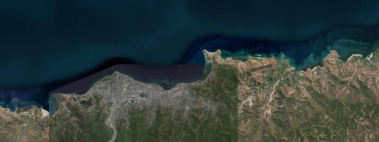
Dili is the capital of Timor-Leste (East Timor), a nation that gained independence from Indonesia in 2002 after a 24-year occupation and a protracted independence struggle. The city sits on a narrow coastal plain on the northern coast, backed by steep forested hills that rise abruptly to 400 to 800 metres. The setting is dramatic: the hills are visible from the waterfront promenade, the Cristo Rei statue on the eastern headland stands on a hill above the sea, and the Wetar Strait — one of the deep inter-island passages of the Indonesian archipelago — lies blue and open to the north.
The tidal regime at Dili is mixed semidiurnal with a spring range of approximately 1.5 to 2.0 metres and a strong diurnal inequality. The Wetar Strait is part of the Indonesian throughflow — the transfer of warm Pacific water into the Indian Ocean through the complex of inter-island passages of the Indonesian archipelago. The throughflow's volume is approximately 15 million cubic metres per second, making it one of the most significant inter-ocean water movements on earth. The tidal currents generated by this throughflow are substantial in the narrow passages north and south of Timor-Leste's coastline, and these regional currents influence the local tidal pattern at Dili, creating asymmetric flood and ebb durations.
The Dili waterfront is the town's social centre. The Avenida Marginal runs along the bay from the port area westward, with the esplanade used for evening walks and weekend recreation by the city's population. The beach on the western side of the bay — Santa Cruz Beach — is backed by a cemetery that was the site of the November 1991 Santa Cruz Massacre, a defining event in Timor-Leste's independence movement. A memorial at the cemetery commemorates the event.
Diving in Dili is developing rapidly. The house reef at K8, a site on the eastern edge of Dili Bay, has been noted for its diversity and accessibility — the reef begins in 2 metres and drops to 30 metres on a wall with good soft coral, Napoleon wrasse, and occasional shark. Visibility in Dili Bay is typically 10 to 20 metres. Several dive operators in the city offer guided reef dives; the reef condition in Dili's near-shore waters is variable and improving as the local conservation awareness grows.
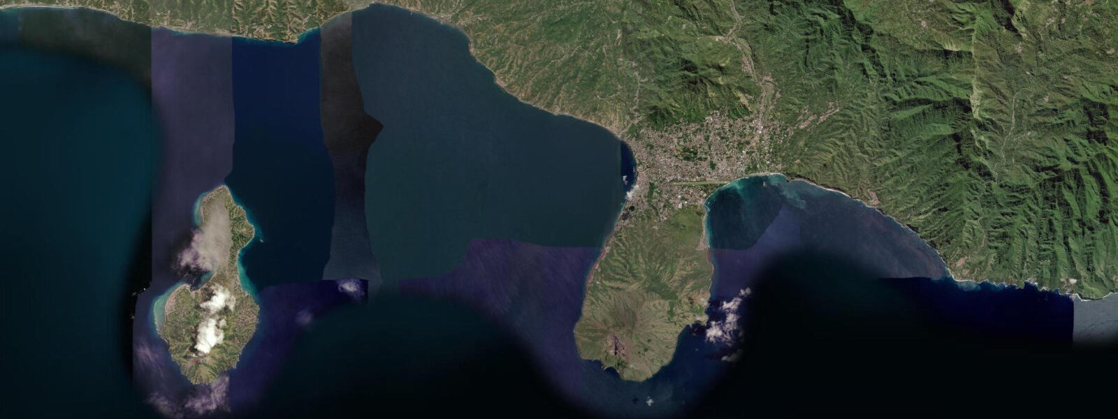
Atouro Island, 30 kilometres north of Dili, is accessible by public ferry (3 hours) or by faster private charter. The island was the subject of a 2016 Conservation International reef survey that recorded the highest fish species diversity ever documented on a coral reef — a finding that has brought scientific and dive tourism attention to the island and to Timor-Leste's marine environment more broadly. The ferry passage in the Wetar Strait has a tidal current of 1 to 2 knots at springs; the crossing can be rough in the southeast monsoon (May to October) when the strait is exposed to the wind.
For photography, the Cristo Rei statue on the eastern headland is accessible by a climb of 573 steps from the parking area, rewarding with panoramic views over Dili Bay and the Wetar Strait. The best photography light is in the early morning looking east, when the strait is lit by the rising sun.
Predictions on this page come from Open-Meteo Marine, a gridded global ocean model. Accuracy is typically within plus or minus 45 minutes on timing and 0.2 to 0.3 metres on height — model-derived, not from a local gauge. The local tide authority is the Autoridade Nacional de Meteorologia e Geofísica de Timor-Leste (ANMG).
Tide questions about Dili
Quick answers to the most common questions about tide times, range, and water access at Dili.
What is the tidal range at Dili?
Spring tidal range at Dili is approximately 1.5 to 2.0 metres, with a strong diurnal inequality — the two daily high and low waters differ substantially in height. The Wetar Strait's tidal character is influenced by the Indonesian throughflow, which creates asymmetric flood and ebb durations different from a standard semidiurnal pattern. Predictions here come from Open-Meteo Marine (±45 minutes on timing, ±0.3 m on height). Not for navigation; consult the Autoridade Nacional de Meteorologia e Geofísica de Timor-Leste (ANMG) for local tidal information.
Is Dili a good diving destination?
Dili is developing as a dive destination. The house reef at K8 on the eastern side of Dili Bay is the city's most-discussed site — accessible in 2 metres of water, dropping to a wall at 30 metres with soft coral, Napoleon wrasse, and occasional reef shark. Visibility is typically 10 to 20 metres. The reef around Atauro Island, 30 kilometres north by ferry, has the most scientifically documented fish diversity of any reef in the world (2016 Conservation International survey). Dive operators in Dili run day trips to Atauro and to the city reefs. The dive infrastructure is modest; equipment rental is limited and divers should bring their own.
How do I get to Atauro Island from Dili?
By public ferry from the Dili port — the service runs twice weekly and takes approximately 3 hours each way. Tickets are purchased at the port on the day. The crossing can be rough in the southeast monsoon (May to October) when the Wetar Strait is exposed to the seasonal wind. Private charter from Dili is faster (45 minutes to 1 hour by speedboat) and can be arranged through dive operators. Basic guesthouse accommodation is available on Atauro; book through Dili-based operators. The island has no ATM — bring Timorese-denomination US dollars (USD is the official currency of Timor-Leste).
What happened at the Santa Cruz Cemetery in Dili?
On 12 November 1991, Indonesian military forces opened fire on a crowd of East Timorese mourners and independence supporters at the Santa Cruz Cemetery, killing at least 250 people (Timorese sources cite higher figures; Indonesian military acknowledged 50). The massacre was filmed by British journalist Max Stahl and the footage, smuggled out of Timor-Leste, was broadcast internationally, triggering global attention to the situation in East Timor and contributing significantly to the international pressure that led to the 1999 independence referendum. The cemetery is now a memorial site; a monument marks the grave of the massacre victims.
When is the best time to visit Dili?
The dry season (May to November) is the most comfortable time — lower humidity, less rain, and calmer seas for diving and the Atauro ferry crossing. The wet season (December to April) brings heavy rain, flooding in low-lying areas, and rough seas on the Wetar Strait. May and October are transitional months with mixed conditions. Diving visibility is generally better in the dry season when the sea is calmer and the runoff from the hills is minimal. The Wetar Strait trade wind (southeast monsoon, May to October) creates choppy seas on the strait but keeps the land temperature more comfortable.
8-day tide table — Dili
Heights relative to MSL. Predictions: Open-Meteo Marine (MeteoFrance SMOC, 0.08° grid) — heights relative to MSL (not chart datum / LAT). Model-derived.
| Day | Type | Time | Height |
|---|---|---|---|
| Fri 03 Jul | Low | 09:00 | 0.2m |
| High | 14:13 | 1.3m | |
| Low | 20:57 | -0.6m | |
| Sat 04 Jul | High | 03:37 | 1.2m |
| Low | 09:03 | 0.2m | |
| High | 14:50 | 1.3m | |
| Low | 21:27 | -0.5m | |
| Sun 05 Jul | High | 04:05 | 1.3m |
| Low | 22:00 | -0.4m | |
| Mon 06 Jul | High | 04:34 | 1.3m |
| Low | 22:33 | -0.3m | |
| Tue 07 Jul | High | 05:08 | 1.3m |
| Low | 11:22 | 0.0m | |
| High | 17:08 | 1.0m | |
| Low | 23:12 | -0.1m | |
| Wed 08 Jul | High | 05:44 | 1.3m |
| Low | 12:15 | -0.1m | |
| High | 18:12 | 0.9m | |
| Low | 23:54 | 0.1m | |
| Thu 09 Jul | High | 06:26 | 1.4m |
| Low | 13:18 | -0.2m | |
| High | 19:36 | 0.8m | |
| Fri 10 Jul | Low | 00:48 | 0.2m |
| High | 07:14 | 1.4m |