Chennai (Marina), Tamil Nadu tide times
Chennai (Marina), Tamil Nadu tide forecast — heights relative to MSL.
Tide chart for Chennai (Marina), Tamil Nadu
24-hour cosine-interpolated curve around the present moment. Heights relative to MSL. Predictions: Predictions: Open-Meteo Marine (MeteoFrance SMOC, 0.08° grid).
Sun, moon and conditions on Sun 26 Jul
Snapshot at build time — refreshes daily. Sea state from Open-Meteo Marine.
Highs and lows next 7 days
Every predicted high and low for the next week, with the daily tidal coefficient (0–120; higher = bigger swing, > 95 means stronger currents).
Other spots nearby
The three closest curated TideTurtle locations to Chennai (Marina), Tamil Nadu, measured by great-circle distance.
Today's solunar windows
Solunar tradition: major periods are the ≈3h windows around moon transit and opposition; minor are ≈2h around moonrise and moonset. Pair with the local tide stage and wind for the best read.
Cycle dates near Chennai (Marina), Tamil Nadu
Next spring tide on Sat 01 Aug (range 1.0m). Next neap on Wed 29 Jul.
Spring tides cluster around new and full moons (biggest swings). Neap tides land on quarter moons (smallest swings). See the spring tide and neap tide glossary entries for the why.
About tides at Chennai (Marina), Tamil Nadu
A short guide to the coastline at Chennai (Marina), Tamil Nadu — geography, sea state, and what the tide is actually doing under your feet.
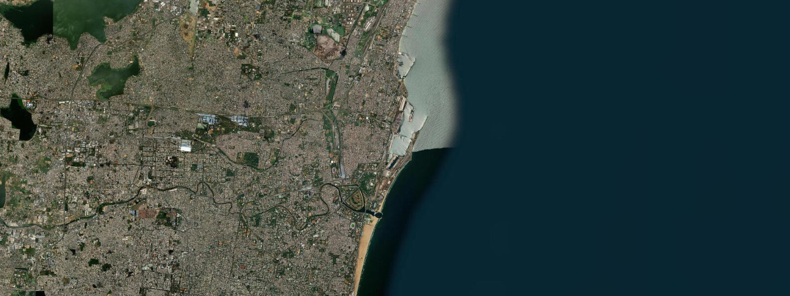
Chennai fronts the western Bay of Bengal on India's south-eastern coast, with the Marina Beach reference shoreline running 13 kilometres from the Cooum river mouth at Triplicane south past the Chepauk cricket ground, the Madras Lighthouse, and the Foreshore Estate to the Adyar river estuary at Besant Nagar. Marina is the second-longest urban beach in the world after Cox's Bazar across the bay in Bangladesh, and the wide sand widens by tens of metres at low water. The tide here is a moderate mixed semidiurnal signal — two highs and two lows of unequal size most days, the asymmetry varying through the lunar month — with a smaller range than the Arabian Sea side at Mumbai.
5 on neaps. The defining hazard is the cyclone season — the post-monsoon period from October through December produces several Bay of Bengal cyclones each year, and storm surge during landfall can stack two to four metres above predicted; Cyclone Vardah (2016), Gaja (2018), and Mandous (2022) each caused significant coastal damage to the Tamil Nadu shoreline. The 2004 Indian Ocean tsunami, which hit Marina Beach as a separate non-tidal event, killed thousands along this coastline and remains the largest natural disaster in the city's modern history.
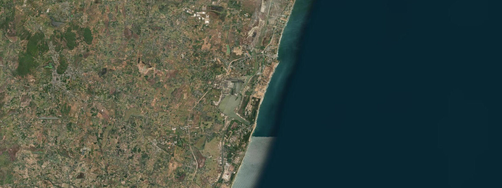
Mahabalipuram south of Chennai has the Pancha Rathas and the Shore Temple sitting on the immediate beachfront, and the lowest spring lows briefly expose submerged sculpture remnants offshore that locals identify with the lost city of the Seven Pagodas. Marina fishing fleets at Royapuram, the working container terminal at Ennore, the long sand at Besant Nagar, and the surf breaks at Kovalam south of the city all read the table for different windows. Open-Meteo Marine drives the gridded predictions on this page; for authoritative Indian tide data, the Survey of India and the Indian National Centre for Ocean Information Services (INCOIS) publish the official tide tables.
Tide questions about Chennai (Marina), Tamil Nadu
Quick answers to the most common questions about tide times, range, and water access at Chennai (Marina), Tamil Nadu.
When is the next high tide at Chennai?
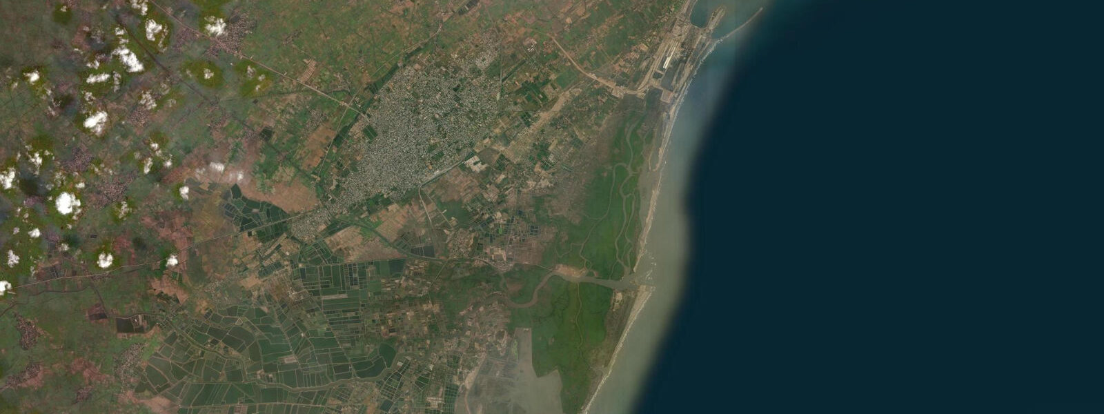
The hero block shows the next high tide at the Chennai harbour gauge in local Indian Standard Time (UTC+5:30, no DST). The 7-day table covers all the highs and lows. High water at Pulicat Lake to the north arrives a few minutes ahead of the harbour gauge; at Mahabalipuram south of the city it lags by about ten minutes.
What's the typical tide range at Chennai?
Mean range at the harbour gauge is about 1.0 metre, climbing past 1.5 metres on spring tides around new and full moons and dropping near 0.5 metres on neaps. The pattern is mixed semidiurnal — two highs and two lows of unequal size each day — and the range is smaller than the Arabian Sea side at Mumbai because the Bay of Bengal is broader and the continental shelf wider on the Indian east coast.
Where do these tide predictions come from?
Open-Meteo Marine, a gridded global ocean model. Useful for daily planning around Marina Beach, the working harbour, and the Mahabalipuram heritage shoreline south of the city. For authoritative Indian tide data, the Survey of India and INCOIS publish the official tide tables and operate the Chennai reference gauge.
How dangerous is the cyclone season for the Chennai coast?
The post-monsoon cyclone season from October through December produces several Bay of Bengal cyclones each year, and storm surge during landfall can stack two to four metres above predicted water levels. Cyclone Vardah (2016), Gaja (2018), and Mandous (2022) each caused significant coastal damage. The harmonic predictions on this page assume normal weather; for cyclone-season surge threats, the India Meteorological Department's regional cyclone warning centre at Chennai is the authoritative real-time source.
Is this safe to use for navigation?
No. For piloting in or out of Chennai harbour, transiting the Ennore approaches, or working the open Bay of Bengal coast use the Survey of India authoritative tide tables, the Chennai Port Trust pilotage guidance, and the Indian Coast Guard notices to mariners. Marina Beach has strong rip currents under any monsoon-season swell and is not a safe swimming beach despite its width and sand quality.
8-day tide table — Chennai (Marina), Tamil Nadu
Heights relative to MSL. Predictions: Open-Meteo Marine (MeteoFrance SMOC, 0.08° grid) — heights relative to MSL (not chart datum / LAT). Model-derived.
| Day | Type | Time | Height |
|---|---|---|---|
| Sun 26 Jul | — | ||
| Mon 27 Jul | Low | 00:07 | 0.2m |
| High | 06:51 | 0.9m | |
| Tue 28 Jul | Low | 00:42 | 0.1m |
| High | 07:22 | 0.9m | |
| Low | 13:37 | 0.3m | |
| High | 19:07 | 0.7m | |
| Wed 29 Jul | Low | 01:18 | 0.1m |
| High | 19:46 | 0.8m | |
| Thu 30 Jul | Low | 01:54 | 0.1m |
| High | 08:24 | 1.0m | |
| Low | 14:40 | 0.2m | |
| High | 20:24 | 0.8m | |
| Fri 31 Jul | Low | 02:24 | 0.1m |
| High | 08:50 | 1.1m | |
| Low | 15:15 | 0.2m | |
| Sat 01 Aug | High | 09:20 | 1.1m |
| Low | 15:43 | 0.1m | |
| High | 21:33 | 0.9m | |
| Sun 02 Aug | Low | 03:32 | 0.1m |