Machilipatnam, Andhra Pradesh tide times
Machilipatnam, Andhra Pradesh tide forecast — heights relative to MSL.
Today's tide times for Machilipatnam, Andhra Pradesh
Tide times at Machilipatnam, Andhra Pradesh on Friday, 19 June 2026: first low tide at 05:30, first high tide at 11:09, second low tide at 17:40, second high tide at 23:32. Sunrise 05:33, sunset 18:39.
Tide chart for Machilipatnam, Andhra Pradesh
24-hour cosine-interpolated curve around the present moment. Heights relative to MSL. Predictions: Predictions: Open-Meteo Marine (MeteoFrance SMOC, 0.08° grid).
Sun, moon and conditions on Fri 19 Jun
Snapshot at build time — refreshes daily. Sea state from Open-Meteo Marine.
Highs and lows next 7 days
Every predicted high and low for the next week, with the daily tidal coefficient (0–120; higher = bigger swing, > 95 means stronger currents).
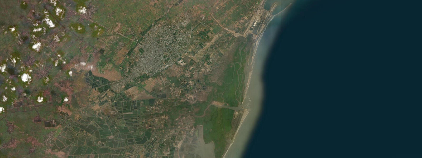
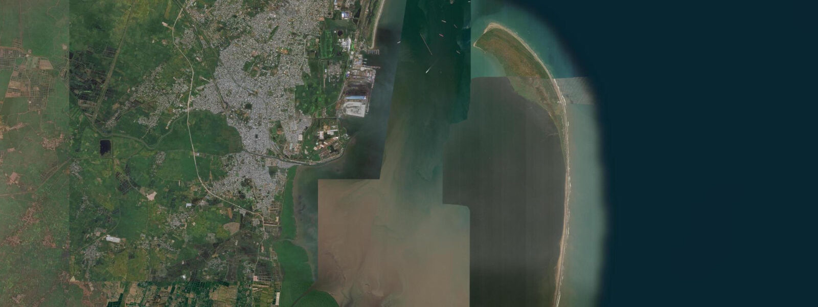
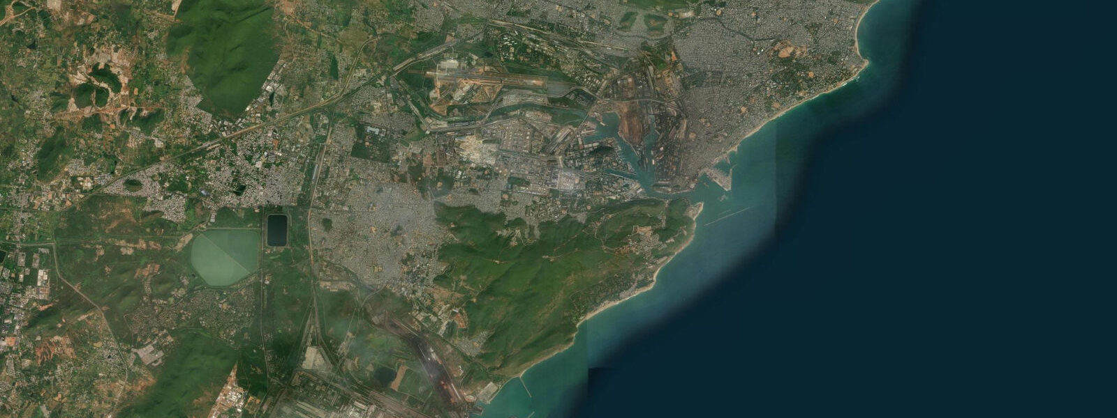
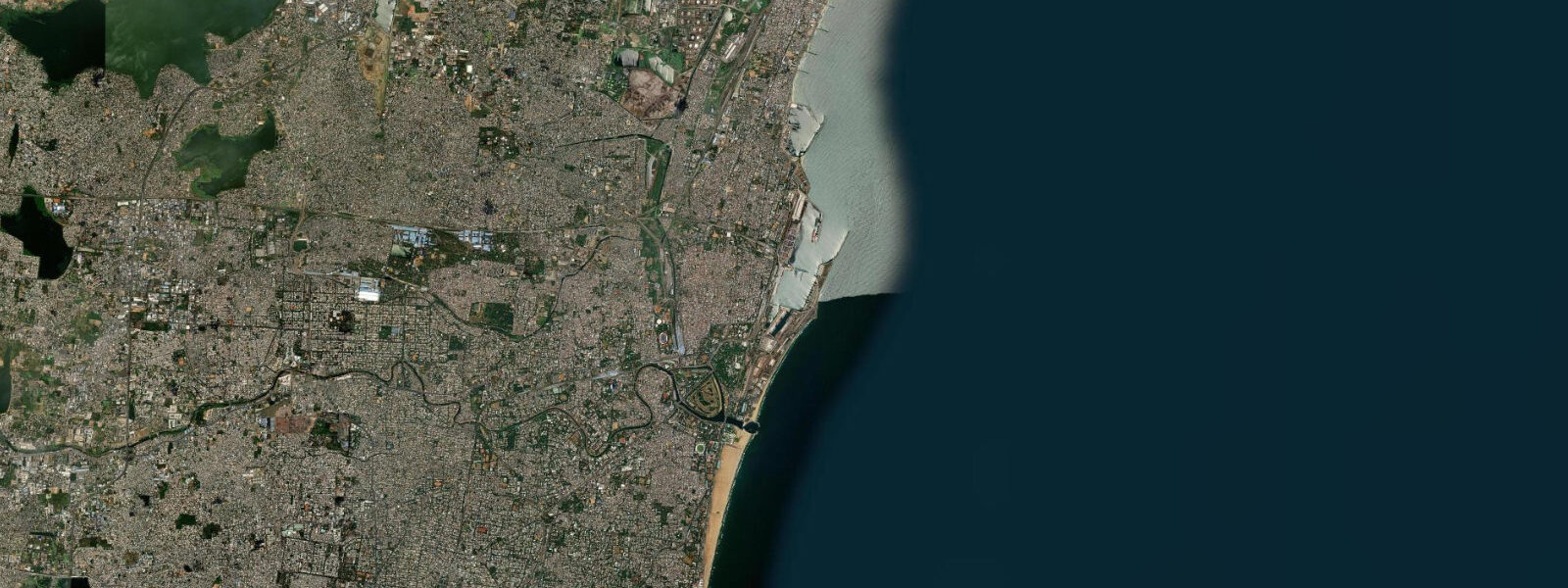
Other spots nearby
The three closest curated TideTurtle locations to Machilipatnam, Andhra Pradesh, measured by great-circle distance.
Today's solunar windows
Solunar tradition: major periods are the ≈3h windows around moon transit and opposition; minor are ≈2h around moonrise and moonset. Pair with the local tide stage and wind for the best read.
Cycle dates near Machilipatnam, Andhra Pradesh
Last spring tide on Fri 19 Jun (range 1.1m). Next neap on Tue 23 Jun.
Spring tides cluster around new and full moons (biggest swings). Neap tides land on quarter moons (smallest swings). See the spring tide and neap tide glossary entries for the why.
About tides at Machilipatnam, Andhra Pradesh
A short guide to the coastline at Machilipatnam, Andhra Pradesh — geography, sea state, and what the tide is actually doing under your feet.
Machilipatnam — known through much of its history as Masulipatnam — is one of the oldest port cities on India's east coast, and the tidal character of the Krishna delta coast has shaped its fortunes across four centuries. The city sits on the western edge of the Krishna delta, where the river's many distributaries fan out across a flat, low-lying coastal plain before reaching the Bay of Bengal. That low elevation is both the delta's agricultural asset and its persistent vulnerability.
The Bay of Bengal delivers a semidiurnal tidal regime at Machilipatnam — two high and two low waters per day. Mean tidal range here runs 1.5 to 2.5 m, somewhat larger than the range seen at Kakinada to the north, owing to slight differences in coastal geometry and the more open orientation of this section of the Andhra coast. Spring tides in the post-monsoon months reach the higher end of that range. At low water, the delta shoreline exposes broad mudflats extending 150–200 m from the high-water mark.
The Bandar harbour at the Krishna river mouth, roughly 3 km north of the main town, handles the mechanised fishing fleet and a small volume of coastal cargo. Vessel access at Bandar depends heavily on the tide: larger country boats and smaller trawlers can enter or leave the river mouth for approximately 2 to 3 hours on either side of high water. Outside that window, the bar at the river mouth drops to depths that ground all but the smallest craft. Fishing beach boats — the plank-built catamarans that operate along this coast — are launched directly from the beach alongside the harbour and are not constrained by the bar; they work the near-shore zone across most of the tidal cycle.
The historic core of Machilipatnam sits less than 2 km from the coastline at an elevation of 3–5 m above mean sea level — low enough that tidal surge is not a daily concern but catastrophically inadequate during cyclonic events. The 1864 cyclone that struck this coast on 1 November remains one of the deadliest natural disasters in Indian recorded history; the storm surge that accompanied the system reportedly inundated the entire delta plain and killed approximately 30,000 people in and around Machilipatnam. The 1977 Diviseema cyclone — which made landfall to the north at Diviseema on 19 November 1977 — again pushed surge waters across the low Krishna delta, killing around 10,000 people in the surrounding districts. Both events reflect the same physical mechanism: the funnel geometry of the northern Bay of Bengal amplifies surge when a cyclone tracks across the shallow continental shelf and pushes water onshore across a coastline with almost no natural elevation.
Understanding this vulnerability is relevant for any visitor planning time on the Machilipatnam beach during the cyclone season (May–June pre-monsoon and October–November post-monsoon). The beach itself — a long, flat strand of dark sand running both north and south of the harbour area — is wide at low water and enjoyable for walking, crab collection, and shore fishing during calm weather. The tidal flat widens by 100–150 m between high and low water on a spring tide.
For anglers, the Krishna river mouth and tidal creek systems around Bandar harbour are productive for barramundi, mullet, and mud crab. The flood tide is the most effective period for fishing the estuary channels — fish move up on the incoming water and concentrate near creek mouths and channel bends. Mud crab traps set along the mangrove edge of the tidal creeks are pulled at low water. Shore-based casting from the beach is effective during the last two hours of the ebb when small pelagics follow the receding water off the flats.
Machilipatnam's cultural context adds a layer that distinguishes it from most other fishing ports on this coast. The city is the origin point of Kalamkari, a textile tradition in which fabric is hand-painted or block-printed using natural dyes to depict scenes from Hindu epics — Ramayana and Mahabharata figures rendered in black, red, and ochre on cream cotton. The Srikalahasti style uses only a hand-drawn pen (kalam); the Machilipatnam style uses carved wooden blocks. The craft concentration in the city's workshops is visible along the main bazaar streets. For visitors combining a coastal visit with interest in textile heritage, the combination of active fish harbour, tidal estuary walks, and Kalamkari workshops is genuinely unusual on the Indian coast.
Kayakers exploring the Krishna delta creek system around Bandar should plan entry and exit around the tidal window — on the flood, channels are navigable and interesting; on the full ebb, passage through the minor creeks requires dragging over mud bars. A 4-hour paddle starting 1 hour before high water gives the best access to the inner delta channels and a safe return on the last of the flood.
Beach families visiting Machilipatnam will find most activity concentrated at the beach access road south of the harbour. The beach is less commercialised than Digha or Puri; facilities are minimal. The wide tidal flat at low water is safe for children on calm days — the gradient is gentle and the water shallow for the first 30 m.
Tide data for Machilipatnam comes from the Open-Meteo Marine API, a gridded model product. Timing accuracy is ±45 minutes, height accuracy ±0.3 m — usable for trip planning, not for navigation.
Tide questions about Machilipatnam, Andhra Pradesh
Quick answers to the most common questions about tide times, range, and water access at Machilipatnam, Andhra Pradesh.
What is the tidal range at Machilipatnam and how does it affect the beach?
Machilipatnam has a semidiurnal tidal pattern — two high waters and two low waters each day. Mean range runs 1.5 to 2.5 m across the tidal cycle, with spring tides in October and November reaching the upper end. At low water, the beach widens by 100–150 m compared to high water as the tidal flat is exposed. The exposed flat is firm enough for walking and crab collecting in the 2–3 hours around low water. At high tide the beach narrows considerably and wave wash reaches close to the access path. Check the tide chart at the top of this page for today's specific high and low water times.
When can fishing boats use the Bandar harbour at the Krishna river mouth?
The Bandar harbour entrance bar at the Krishna river mouth limits access for larger boats to roughly 2–3 hours on either side of high water. Outside this window the bar drops to depths that ground trawlers and larger country boats. The fishing fleet manages this by timing departures to the early-morning ebb and returns to the afternoon or evening flood. Beach-launched catamarans are not constrained by the bar — they are carried to the surf and launched directly, operating across most of the tidal cycle. For fishing trip operators departing from Bandar harbour, confirm departure time against the same day's high water.
Why is Machilipatnam at risk from cyclone storm surge?
The Krishna delta coast around Machilipatnam sits at 3–5 m above mean sea level across most of its area — low enough that a moderate cyclonic storm surge overruns the land with little resistance. The 1864 cyclone produced a surge that inundated the entire delta, killing an estimated 30,000 people. The 1977 Diviseema cyclone pushed surge across the same low delta plain, with around 10,000 deaths in the surrounding district. Both events reflect a consistent physical pattern: the Bay of Bengal's funnel shape amplifies surge height as a cyclone tracks over the shallow northern shelf. During the cyclone seasons (May–June and October–November), monitor the India Meteorological Department's Bay of Bengal advisories before planning coastal activities in the area.
What fishing is available around Machilipatnam?
The tidal creek and estuary system around the Krishna river mouth supports barramundi, mullet, and mud crab across the tidal cycle. Barramundi and mullet feed most actively in the estuary channels during the flood tide, typically 1–2 hours after low water through to high water. Mud crab are collected from mangrove creek edges and from traps set at low water. Shore-based casting from the beach during the last 2 hours of the ebb can produce small pelagics and whiting chasing the receding water off the flats. The mechanised fleet at Bandar harbour targets prawn and croaker in the near-shore Bay of Bengal.
What is the connection between Machilipatnam and the Dutch and British East India Companies?
Machilipatnam — then called Masulipatnam — was among the first ports on India's east coast to host European trading operations. The Dutch East India Company (VOC) established a factory here in 1605, making it one of the VOC's earliest Indian footholds. The British East India Company followed shortly after. The town's location at the Krishna river mouth gave direct access to the agricultural produce and textiles of the interior Andhra plain, including the Kalamkari hand-painted cloth that became a significant export commodity. The colonial-era trading post heritage is visible in historical records more than in standing structures — the low-lying town has been rebuilt repeatedly after cyclone damage — but the Kalamkari tradition that attracted those early traders continues in the city's workshops.
8-day tide table — Machilipatnam, Andhra Pradesh
Heights relative to MSL. Predictions: Open-Meteo Marine (MeteoFrance SMOC, 0.08° grid) — heights relative to MSL (not chart datum / LAT). Model-derived.
| Day | Type | Time | Height |
|---|---|---|---|
| Fri 19 Jun | Low | 05:30 | 0.2m |
| High | 11:09 | 1.3m | |
| Low | 17:40 | 0.2m | |
| High | 23:32 | 0.9m | |
| Sat 20 Jun | Low | 05:30 | 0.2m |
| High | 11:54 | 1.1m | |
| Low | 18:32 | 0.2m | |
| Sun 21 Jun | High | 00:36 | 0.9m |
| Low | 06:30 | 0.3m | |
| High | 12:45 | 1.0m | |
| Low | 19:20 | 0.2m | |
| Mon 22 Jun | High | 01:34 | 0.8m |
| Low | 07:25 | 0.3m | |
| High | 13:40 | 0.9m | |
| Low | 20:18 | 0.2m | |
| Tue 23 Jun | High | 02:40 | 0.8m |
| Low | 08:30 | 0.4m | |
| High | 14:30 | 0.8m | |
| Wed 24 Jun | Low | 09:50 | 0.4m |
| High | 15:30 | 0.8m | |
| Low | 22:07 | 0.2m | |
| Thu 25 Jun | High | 04:45 | 0.8m |
| Low | 22:52 | 0.1m | |
| Fri 26 Jun | High | 04:30 | 0.8m |