Casuarina Beach tide times
Casuarina Beach tide forecast — heights relative to MSL.
Today's tide times for Casuarina Beach
Tide times at Casuarina Beach on Sunday, 21 June 2026: first low tide at 06:36am, first high tide at 01:08pm. Sunrise 05:49am, sunset 06:31pm.
Tide chart for Casuarina Beach
24-hour cosine-interpolated curve around the present moment. Heights relative to MSL. Predictions: Predictions: Open-Meteo Marine (MeteoFrance SMOC, 0.08° grid).
Sun, moon and conditions on Sun 21 Jun
Snapshot at build time — refreshes daily. Sea state from Open-Meteo Marine.
Highs and lows next 7 days
Every predicted high and low for the next week, with the daily tidal coefficient (0–120; higher = bigger swing, > 95 means stronger currents).
Other spots nearby
The three closest curated TideTurtle locations to Casuarina Beach, measured by great-circle distance.
Today's solunar windows
Solunar tradition: major periods are the ≈3h windows around moon transit and opposition; minor are ≈2h around moonrise and moonset. Pair with the local tide stage and wind for the best read.
Cycle dates near Casuarina Beach
Last spring tide on Sun 21 Jun (range 0.5m). Next spring tide on Sat 27 Jun (range 0.5m). Next neap on Thu 25 Jun.
Spring tides cluster around new and full moons (biggest swings). Neap tides land on quarter moons (smallest swings). See the spring tide and neap tide glossary entries for the why.
About tides at Casuarina Beach
A short guide to the coastline at Casuarina Beach — geography, sea state, and what the tide is actually doing under your feet.
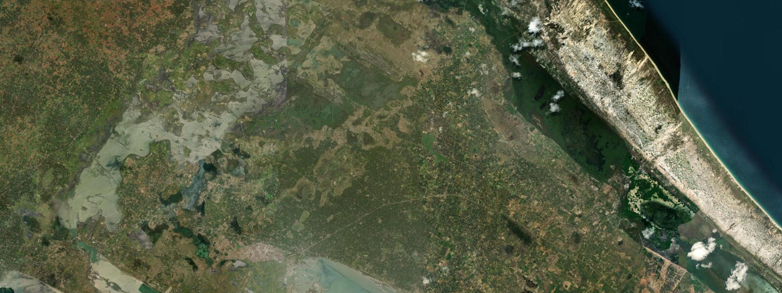
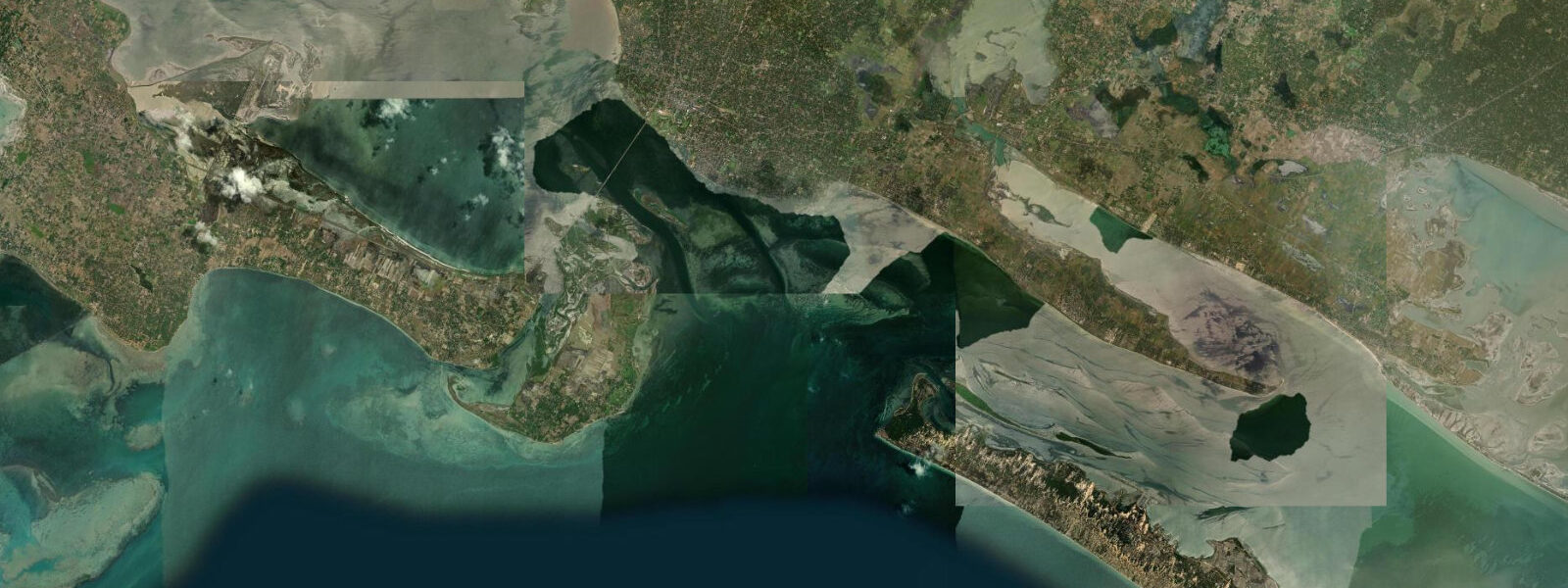
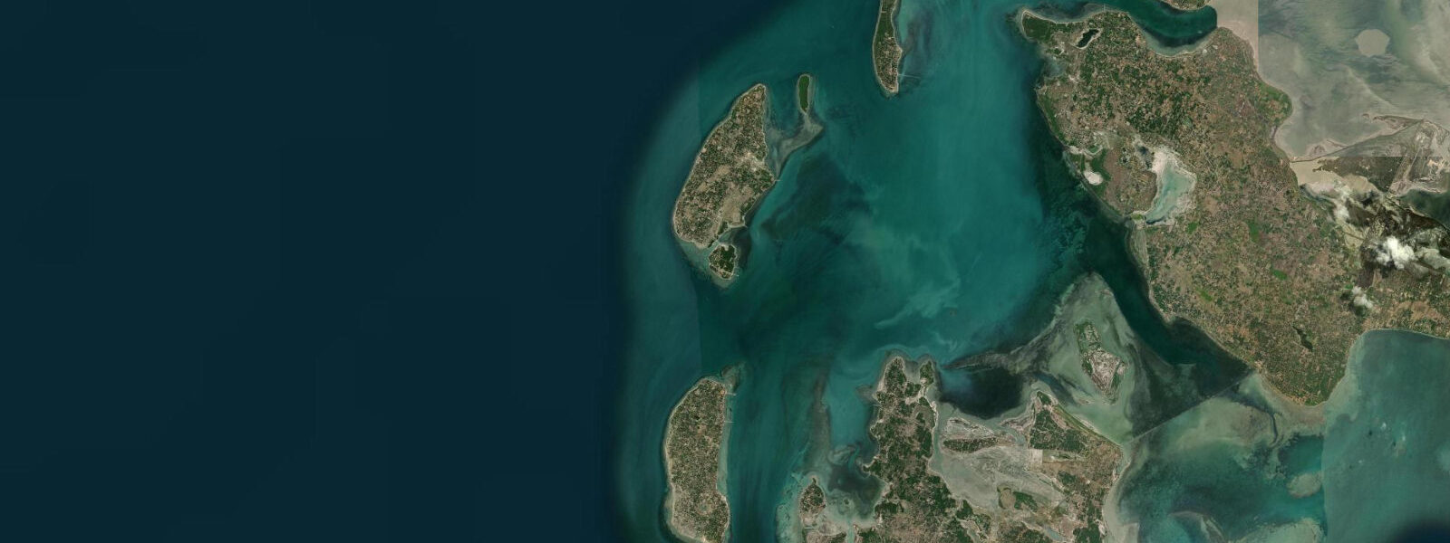
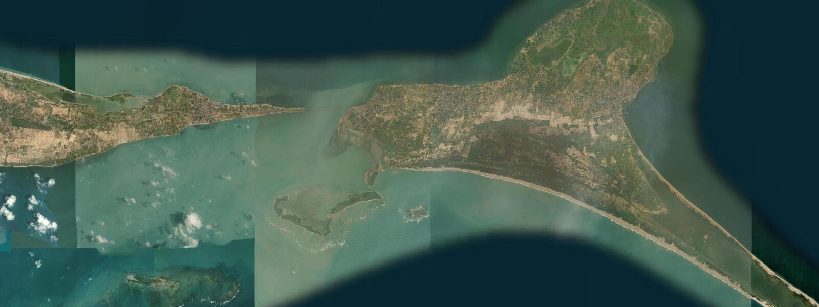
Casuarina Beach is on the northern coast of Karainagar island, accessible by causeway from the Jaffna Peninsula via Kayts and Karainagar. The causeway runs over the shallow channels between the mainland and the islands — the Kayts Strait causeway and the Karainagar bridge — a total road distance of approximately 25 km from Jaffna town centre. The beach faces north-northwest into the Palk Bay, sheltered from the open Bay of Bengal to the east by the geography of the northern Sri Lanka coast and the Indian shoreline across the strait 80 km away.
The water is shallow and warm; the sandy bottom is pale gold-white and grades gently seaward. The beach is named for the dense casuarina (Casuarina equisetifolia) tree line that runs the length of the beach back, providing shade at the sand's edge. The casuarina trees are characteristic of the Jaffna coast and the northern Sri Lanka shoreline; their needle-like foliage and the sound they make in wind is a distinctive sensory signature of the area.
8 metres. The shallow Palk Bay geometry means the tidal exchange here is partly wind-dominated, as with the lagoon. 7 metres across the inner shelf.
For families with young children the low-tide flat is the most comfortable wading and swimming window, with depth controllable and the bottom clearly visible in the clear shallow water. The beach is relatively uncrowded by the standards of more developed Sri Lankan resort coasts — the Jaffna Peninsula's tourism infrastructure is still rebuilding after the post-conflict opening of the north, and Karainagar island sees fewer visitors than the Trincomalee or Batticaloa coasts further south. The causeway drive from Jaffna town through the Kayts island landscape — flat, palmyra-dotted, with views across the channels and lagoon — is itself a significant part of the visit; the light over the shallow water in the late afternoon is photographically distinctive.
The Karainagar coast south of the beach has a small fishing harbour used by the local community; the fishing boats are beached and launched on the tidal flat. The drive north through Karaitivu and Karainagar from Kayts gives intermittent views of the lagoon on the right and the Palk Bay on the left — the narrowest island sections are less than 500 metres wide. The Jaffna Public Library, reconstructed after being burned in 1981 and again rebuilt after the war, is one of the most symbolically significant buildings in Jaffna town, 25 km from the beach.
Shore angling from the beach and the rocks at the eastern end of Casuarina targets the mullet, barracuda, and trevally that work the shallow Palk Bay flat on the incoming tide. The eastern end of Karainagar island has a small fishing harbour with resident wooden-plank fishing boats; the boats work the Palk Bay shallows for prawn and reef fish and beach on the falling tide. The local fishing tradition of night-lantern fishing — placing kerosene or LED lanterns in the water after dark to attract baitfish, then netting them — is practised in the Palk Bay shallows from Karainagar; the ebb-tide setting maximises the lantern's position in the current flow.
The Karainagar road circuit — lagoon side coming out, Palk Bay side returning — gives the full island geography in about 2 hours by tuk-tuk, with Casuarina Beach as the natural midpoint stop. 3 metres on height. NARA is the authoritative Sri Lanka tide source.
Tide questions about Casuarina Beach
Quick answers to the most common questions about tide times, range, and water access at Casuarina Beach.
How do I get to Casuarina Beach from Jaffna town?
Take the A32 road northwest from Jaffna town to the Kayts Strait causeway, crossing to Kayts Island, then continue northwest through Kayts to the bridge onto Karainagar island; from the bridge the beach is on the northern shore of Karainagar, approximately 25 km total from Jaffna town centre (35 to 45 minutes by car or tuk-tuk). The causeway and bridge are passable at all tidal stages; the water over the causeway section near Kayts can be very shallow at low tide but the road surface is above water. Most visitors hire a tuk-tuk from Jaffna for the day, combining Casuarina with Casuarina's neighbouring Karainagar island circuit.
Is Casuarina Beach good for swimming and families?
Yes — Casuarina is one of the calmest and shallowest swimming beaches accessible from Jaffna. The bottom is pale sand grading gently seaward; the shallow Palk Bay geometry means even moderate wind rarely produces significant swell here. At low spring tide the inner flat exposes an additional 20 to 30 metres of firm-sand wading area with depth under 0.5 metres, well-suited to children. The casuarina tree line provides natural shade at the back of the beach. The NE monsoon (October to January) can bring northeast wind that chops the surface and makes swimming less comfortable; the March to September window is generally calmer.
What is the typical tide range at Casuarina Beach?
Spring tidal range is approximately 0.6 to 0.8 metres — the Palk Strait / northern Sri Lanka pattern. The shallow Palk Bay depth means wind setup adds to or subtracts from the predicted astronomical level, sometimes by a comparable amount. Visible change on the beach: at low spring tide 20 to 30 metres of additional sand flat exposes and the wading depth over the inner 50 metres of shelf reduces by 0.5 to 0.7 metres. At high tide the water reaches the base of the casuarina tree line. The tidal change here is gradual given the small range; there is no dramatic expose-and-cover dynamic.
Where do these tide predictions come from?
Open-Meteo Marine, a gridded global ocean model; accuracy is typically ±45 minutes on timing and ±0.2 to 0.3 metres on height. In a shallow tidal environment like the Palk Bay, where wind-driven setup can contribute as much as the astronomical tide to the water level, the model's uncertainty is proportionally significant. NARA (National Aquatic Resources Research and Development Agency, Sri Lanka) is the authoritative Sri Lanka tide source; the nearest gauge reference for Casuarina Beach is the Jaffna station operated in coordination with NARA and the Sri Lanka Ports Authority.
Is this safe to use for navigation?
No. The Palk Bay is shallow (average depth approximately 10 metres, considerably less on the Karainagar northern shelf and the surrounding sand-and-coral flats) with unmarked shallows and the Kayts Strait channels requiring local pilot knowledge. The Sri Lanka Navy maintains a major base at Kankesanthurai, approximately 10 km west of Karainagar, and operates patrol vessels in these waters regularly. All vessel movements in the Jaffna area require compliance with Sri Lanka Navy and Ports Authority requirements. For navigation, use Sri Lanka Ports Authority charts with NARA tide data. TideTurtle is a coastal planning reference, not a navigational tool.
8-day tide table — Casuarina Beach
Heights relative to MSL. Predictions: Open-Meteo Marine (MeteoFrance SMOC, 0.08° grid) — heights relative to MSL (not chart datum / LAT). Model-derived.
| Day | Type | Time | Height |
|---|---|---|---|
| Sun 21 Jun | Low | 06:36 | 0.3m |
| High | 13:08 | 0.8m | |
| Mon 22 Jun | Low | 20:40 | 0.2m |
| Tue 23 Jun | High | 03:15 | 0.6m |
| Low | 08:40 | 0.4m | |
| High | 14:48 | 0.7m | |
| Low | 21:25 | 0.2m | |
| Wed 24 Jun | High | 04:10 | 0.7m |
| Low | 09:48 | 0.4m | |
| High | 15:36 | 0.6m | |
| Low | 22:24 | 0.2m | |
| Thu 25 Jun | High | 16:30 | 0.6m |
| Low | 23:08 | 0.2m | |
| Fri 26 Jun | High | 05:42 | 0.7m |
| Low | 23:48 | 0.2m | |
| Sat 27 Jun | High | 06:25 | 0.7m |
| Low | 12:40 | 0.3m | |
| High | 18:12 | 0.5m | |
| Sun 28 Jun | Low | 00:24 | 0.1m |
| High | 04:30 | 0.5m |