Akureyri, Eyjafjörður tide times
Akureyri, Eyjafjörður tide forecast — heights relative to MSL.
Tide chart for Akureyri, Eyjafjörður
24-hour cosine-interpolated curve around the present moment. Heights relative to MSL. Predictions: Predictions: Open-Meteo Marine (MeteoFrance SMOC, 0.08�° grid).
Sun, moon and conditions on Sun 26 Jul
Snapshot at build time — refreshes daily. Sea state from Open-Meteo Marine.
Highs and lows next 7 days
Every predicted high and low for the next week, with the daily tidal coefficient (0–120; higher = bigger swing, > 95 means stronger currents).
Other spots nearby
The three closest curated TideTurtle locations to Akureyri, Eyjafjörður, measured by great-circle distance.
Today's solunar windows
Solunar tradition: major periods are the ≈3h windows around moon transit and opposition; minor are ≈2h around moonrise and moonset. Pair with the local tide stage and wind for the best read.
About tides at Akureyri, Eyjafjörður
A short guide to the coastline at Akureyri, Eyjafjörður — geography, sea state, and what the tide is actually doing under your feet.
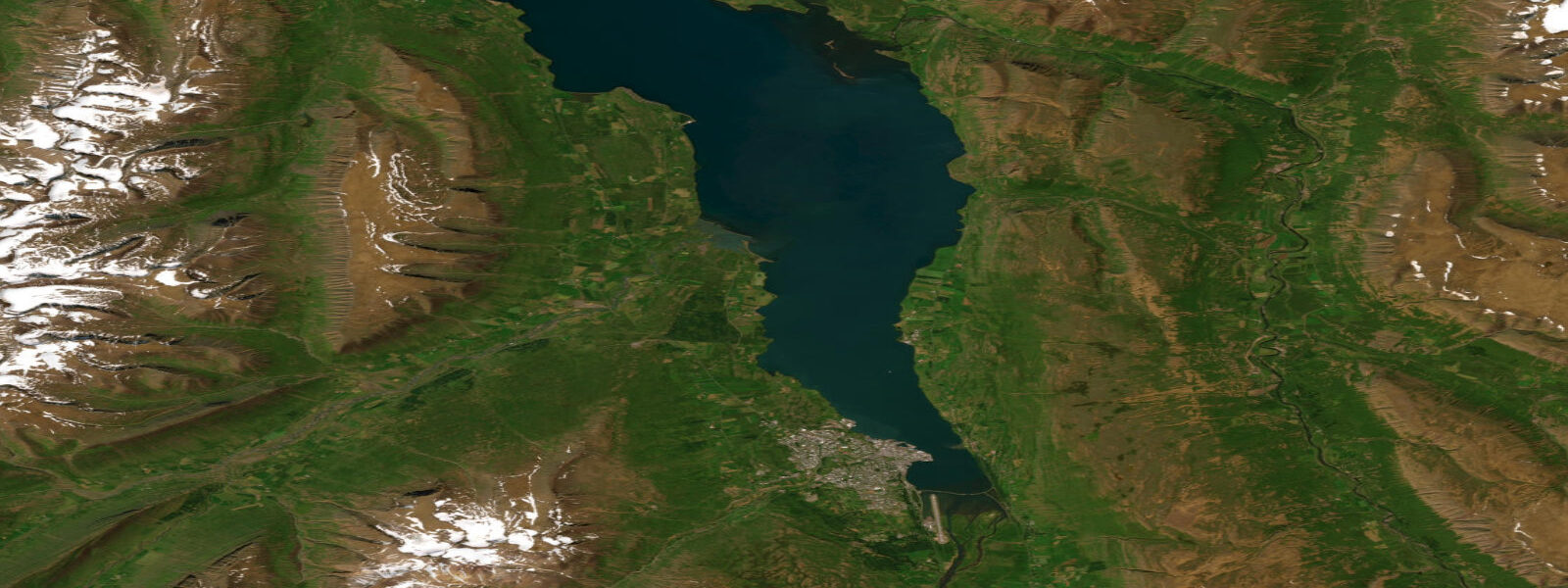
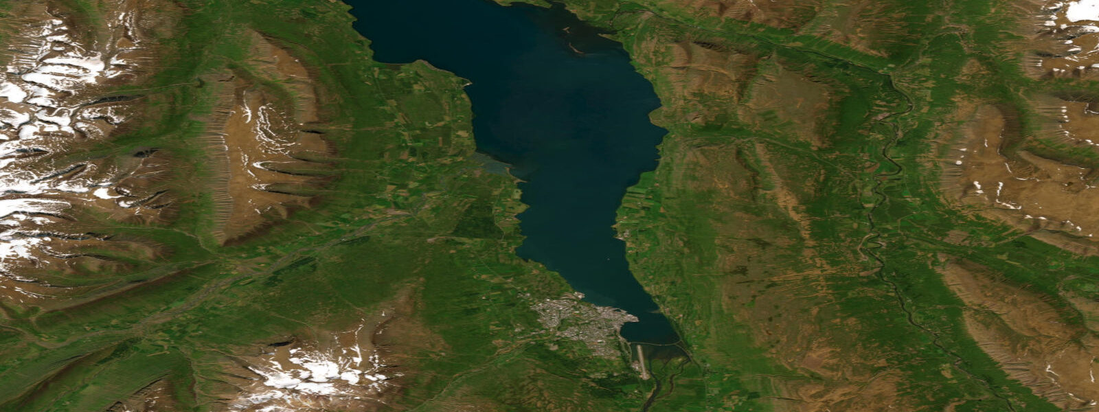
Akureyri sits at the head of Eyjafjörður on the north coast of Iceland, the country's second city and the working capital of the Northeastern Region. The fjord runs about 60 kilometres south from the Greenland Sea opening past Hrísey island to the Akureyri industrial harbour at the head, framed by glaciated mountains on both sides that drop directly to the water. The Arctic Circle sits about 60 kilometres north through Grímsey island — the only Icelandic territory that crosses the parallel — and the latitude shapes the entire working calendar of the place.
The tide here is the modulated North Atlantic signal that the long fjord geometry reshapes as it propagates inland from the open Greenland Sea. 9 on neaps. The pattern is cleanly semidiurnal, two highs and two lows of comparable size about twelve and a half hours apart, with the propagating tide reaching the head of the fjord about an hour after the open-coast timing while gaining slightly in amplitude through the funnel geometry.
The defining latitude feature is photoperiod. The midnight sun in June produces about three weeks of continuous daylight when the sun never quite sets and the solunar fishing windows extend through what would be night anywhere else; the December darkness around the winter solstice compresses to about three hours of usable twilight per day, with no actual sunrise for the deepest winter weeks. That is a different planning calendar than any temperate-zone coast runs and one that the local fishing fleet, the whale-watching operators, and the cross-country ski-touring community at Hlíðarfjall all build their year around.
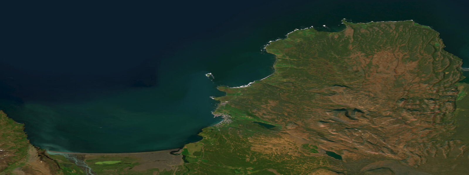
The whale-watching fleet out of Húsavík to the east on Skjálfandi reads tide and current for humpback feeding grounds at the bay, where the cold Greenland Sea water and the East Icelandic Current produce reliable zooplankton blooms. The working herring boats out of Dalvík, the geothermal sea swim at Bjórböðin (the beer-bath spa) at Árskógssandur on the western fjord shore, the puffin colony at Lundey island, the basalt-shelf intertidal at the Akureyri foreshore, and the cross-fjord ferry to Hrísey all read the table for different windows. Open-Meteo Marine drives the gridded predictions on this page; for authoritative Icelandic tide data, the Icelandic Coast Guard's Hydrographic Department (Sjómælingar Íslands) publishes the official tide tables and operates the Akureyri reference gauge.
Tide questions about Akureyri, Eyjafjörður
Quick answers to the most common questions about tide times, range, and water access at Akureyri, Eyjafjörður.
When is the next high tide at Akureyri?
The hero block shows the next high tide at the Akureyri harbour gauge in local Iceland time (GMT, year-round, no DST). The 7-day table covers all daily highs and lows. The Hrísey island gauge halfway down the fjord reads about 30 minutes ahead of the Akureyri timing on the same flood; the open-coast Greenland Sea entrance reads about an hour ahead.
What's the typical tide range at Akureyri?
Mean range is about 1.4 metres at the harbour gauge — a moderate semidiurnal signal. Spring tides push close to 1.9 metres and neaps drop near 0.9. Two highs and two lows of comparable size about twelve and a half hours apart. The amplitude is smaller here at the fjord head than at Reykjavík on the open south-west coast where the open North Atlantic delivers a 3.5-metre mean swing; the long Eyjafjörður funnel propagates the open-coast signal about an hour and gains slightly in amplitude on the way.
Where do these tide predictions come from?
Open-Meteo Marine, a gridded global ocean model. Useful for planning the Húsavík and Eyjafjörður whale-watching trips, the Hrísey ferry crossings, the Dalvík fishing windows, and the Bjórböðin geothermal sea-swim sessions. For authoritative Icelandic tide data, the Icelandic Coast Guard's Hydrographic Department (Sjómælingar Íslands) publishes the official tide tables and operates the Akureyri reference gauge.
How does the Arctic-Circle-adjacent latitude affect the solunar fishing windows?
Akureyri sits at 65.7 degrees north — about 60 kilometres south of the Arctic Circle through Grímsey island. The midnight sun produces three weeks of continuous daylight in June when the sun never sets and the solunar windows extend through what would be night at temperate latitudes, and the December darkness compresses solunar activity into a three-hour midday twilight window with no actual sunrise for the deepest weeks of winter. The site computes the windows from local astronomy regardless of season; the table on this page flags them for each of the next 7 days. Fishing crews working the Eyjafjörður and Skjálfandi grounds read the seasonal extremes as part of the year's working pattern.
Is this safe to use for navigation?
No. For piloting in or out of the Akureyri harbour, transiting Eyjafjörður, or working the Greenland Sea approaches at Grímsey and Skjálfandi use Sjómælingar Íslands authoritative tide tables, the Icelandic Coast Guard pilotage guidance and notices to mariners, and the Hafrannsóknastofnun Marine and Freshwater Research Institute oceanographic products. Greenland Sea storm conditions in winter can override the harmonic signal entirely and demand real-time forecasts.
0-day tide table — Akureyri, Eyjafjörður
Heights relative to MSL. Predictions: Open-Meteo Marine (MeteoFrance SMOC, 0.08° grid) — heights relative to MSL (not chart datum / LAT). Model-derived.
| Day | Type | Time | Height |
|---|