Hólmavík tide times
Hólmavík tide forecast — heights relative to MSL.
Tide chart for Hólmavík
24-hour cosine-interpolated curve around the present moment. Heights relative to MSL. Predictions: Predictions: Open-Meteo Marine (MeteoFrance SMOC, 0.08° grid).
Sun, moon and conditions on Sat 27 Jun
Snapshot at build time — refreshes daily. Sea state from Open-Meteo Marine.
Highs and lows next 7 days
Every predicted high and low for the next week, with the daily tidal coefficient (0–120; higher = bigger swing, > 95 means stronger currents).
Other spots nearby
The three closest curated TideTurtle locations to Hólmavík, measured by great-circle distance.
Today's solunar windows
Solunar tradition: major periods are the ≈3h windows around moon transit and opposition; minor are ≈2h around moonrise and moonset. Pair with the local tide stage and wind for the best read.
About tides at Hólmavík
A short guide to the coastline at Hólmavík — geography, sea state, and what the tide is actually doing under your feet.
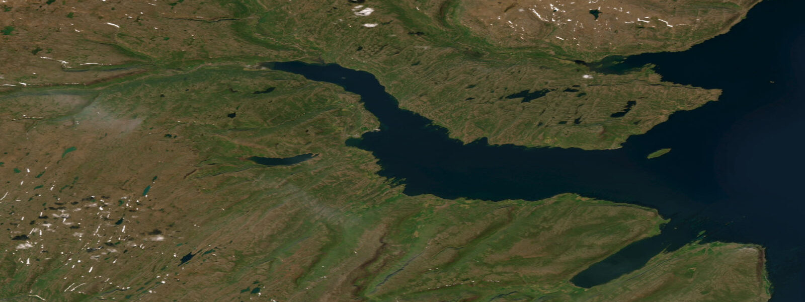
Hólmavík is the main settlement on Steingrímsfjörður, a long north-facing fjord on the Westfjords' southern margin. With a spring tidal range of around 3.8 m, it is slightly less exposed than the outer fjords but still far larger in range than anything on Iceland's south coast. The tidal pattern is semidiurnal. At low water springs, the inner bay retreats across extensive mudflats that are the defining intertidal feature of this part of the fjord — pale grey mud extending 300–400 m across at the lowest tides of the year.
Those mudflats are birdwatcher territory. Common eider are present year-round, and at low tide they work the flats in groups of 20–50, diving for mussels and sea urchins in the shallow channels. Eurasian oystercatcher is the loudest and most visible species at all tide stages, but the variety increases at low water when dunlin, ringed plover, purple sandpiper, and turnstone spread across the exposed sediment. Timing an early-morning low tide in May or June gives you the best mix of resident and migrant species, with the added possibility of red-necked phalarope in the weedy shallows at the mud margins.
Harbour seals haul out on the outer edge of the mudflats at low water. The Steingrímsfjörður population is small — typically 10–20 animals on the main haul-out — but reliably present. They are most visible on the larger ebb tides of the spring cycle, when the mud is exposed for longer and they remain hauled out for two to three hours. Approach from the landward side keeping low — the seals are alert and slide back into the water if they detect movement above the skyline.
Cod jigging from the Hólmavík quay is the main fishing activity. The quay has water at all tide stages, but the productive window is the first two hours of the flood when cod move shoreward. The bottom off the quay is mud and gravel at 4–10 m, with occasional flatfish — dab and plaice — taken on baited hooks. Golden plover appear in large flocks on the hillsides above the village in spring (April–May) and again in autumn (August–September) during their migration staging; they are not tidal, but their presence coincides with the most dynamic tidal birdwatching periods on the mudflats below.
The Museum of Icelandic Sorcery and Witchcraft in the village centre is the region's best-known cultural attraction — the only museum in the world dedicated to Icelandic folk magic (galdur) and the witch trials of the 17th century. It is tide-independent but worth noting as a half-day stop that pairs well with mudflat birding on the same visit.
Steingrímsfjörður's geometry is useful for understanding how fjord tides work. The fjord is roughly 50 km long and 5–10 km wide. As the tide floods in from the open sea at the fjord mouth, the tidal wave travels up the fjord and arrives at Hólmavík approximately 30–45 minutes after low water at the mouth. The practical effect is that the flood arrives more slowly than it appears to at the coast — you have a generous window to walk the outer flat before the tide turns. Always identify your safe exit route before walking more than 200 m out on the mud.
For kayakers, Steingrímsfjörður offers a sheltered multi-day route along the south shore. The fjord head is 25 km from Hólmavík; camping is possible on the grassy verges above the tideline. The inner fjord is so shallow at low water in the head section that a loaded kayak can ground 400 m from shore — plan your approach to the fjord head on the flood.
Tidal predictions here use the Open-Meteo Marine gridded model (±45 minutes on timing, ±0.3 m on height). Not for navigation.
Tide questions about Hólmavík
Quick answers to the most common questions about tide times, range, and water access at Hólmavík.
What birds can I see on the Hólmavík mudflats?
The inner Steingrímsfjörður mudflats are most productive two hours before to one hour after low water. Common eider, oystercatcher, dunlin, ringed plover, and purple sandpiper are reliable. Spring migration (May–June) adds red-necked phalarope and occasional greenshank at the mud margins. Harbour seals haul out on the outer flat edge during the spring low tides — typically 10–20 animals. Approach low and from landward. Golden plover flocks use the hillsides above the village in April–May and August–September, coinciding with the most dynamic periods on the flats below.
How does the tidal delay work inside Steingrímsfjörður?
The flood tide enters from the fjord mouth to the west and travels up the fjord as a tidal wave. By the time it reaches Hólmavík, roughly 25 km from the mouth, the flood arrives approximately 30–45 minutes after low water at the mouth. This tidal lag means the flat near the village drains and fills slightly later than the outer fjord. In practice, when you see 'low water' on a tide prediction for Hólmavík, that prediction already accounts for the lag. The effect matters when navigating in and out of the fjord mouth by boat — conditions there change ahead of conditions at the village.
Is it safe to walk out on the Steingrímsfjörður mudflats?
The flats are firm enough to walk on — grey-brown cohesive mud rather than the soft quicksand-type sediment found in some estuaries. However, with a spring range of 3.8 m and a flat gradient, the flood moves across the flats quickly once it turns. Before walking more than 150–200 m from the shoreline, identify your return route and check that the tide is still ebbing. Allow yourself a minimum 45-minute safety margin before predicted low water to be back above the high-water line. Walking conditions are best in rubber boots or neoprene socks; the mud surface is slippery in smooth-soled footwear.
When is the Museum of Sorcery and Witchcraft open?
The Museum of Icelandic Sorcery and Witchcraft in Hólmavík is generally open daily from June through August and on limited hours in shoulder seasons. It is closed or by appointment only in the depths of winter. Opening hours change year to year — check the Westfjords tourism site or contact the museum directly before planning a visit around it. The museum is worth 1.5–2 hours and pairs well with a morning mudflat walk at low tide. Hólmavík has a small guesthouse and a petrol station, making it a practical overnight base.
What fishing is available from the Hólmavík quay?
Cod jigging from the quay is the main activity, with the first two hours of the flood being the most consistent productive window. The bottom is mud and gravel at 4–10 m depth off the quay end. Dab and plaice are taken on baited hooks on the flood. No licence is required for shore fishing in Iceland. The quay has water at all tide stages — it does not dry at low water — but at low water springs the drop to the water surface is around 3 m, which makes landing fish awkward without a landing net on a long handle.
0-day tide table — Hólmavík
Heights relative to MSL. Predictions: Open-Meteo Marine (MeteoFrance SMOC, 0.08° grid) — heights relative to MSL (not chart datum / LAT). Model-derived.
| Day | Type | Time | Height |
|---|