Nuuk tide times
Nuuk tide forecast — heights relative to MSL.
Today's tide times for Nuuk
Tide times at Nuuk on Saturday, 27 June 2026: first low tide at 01:12am, first high tide at 07:11am, second low tide at 12:57pm, second high tide at 07:36pm. Sunrise 03:57am, sunset 01:02am.
Tide chart for Nuuk
24-hour cosine-interpolated curve around the present moment. Heights relative to MSL. Predictions: Predictions: Open-Meteo Marine (MeteoFrance SMOC, 0.08° grid).
Sun, moon and conditions on Sat 27 Jun
Snapshot at build time — refreshes daily. Sea state from Open-Meteo Marine.
Highs and lows next 7 days
Every predicted high and low for the next week, with the daily tidal coefficient (0–120; higher = bigger swing, > 95 means stronger currents).
Other spots nearby
The three closest curated TideTurtle locations to Nuuk, measured by great-circle distance.
Today's solunar windows
Solunar tradition: major periods are the ≈3h windows around moon transit and opposition; minor are ≈2h around moonrise and moonset. Pair with the local tide stage and wind for the best read.
Cycle dates near Nuuk
Next spring tide on Wed 01 Jul (range 3.1m). Last neap on Fri 26 Jun. Next neap on Thu 02 Jul.
Spring tides cluster around new and full moons (biggest swings). Neap tides land on quarter moons (smallest swings). See the spring tide and neap tide glossary entries for the why.
About tides at Nuuk
A short guide to the coastline at Nuuk — geography, sea state, and what the tide is actually doing under your feet.
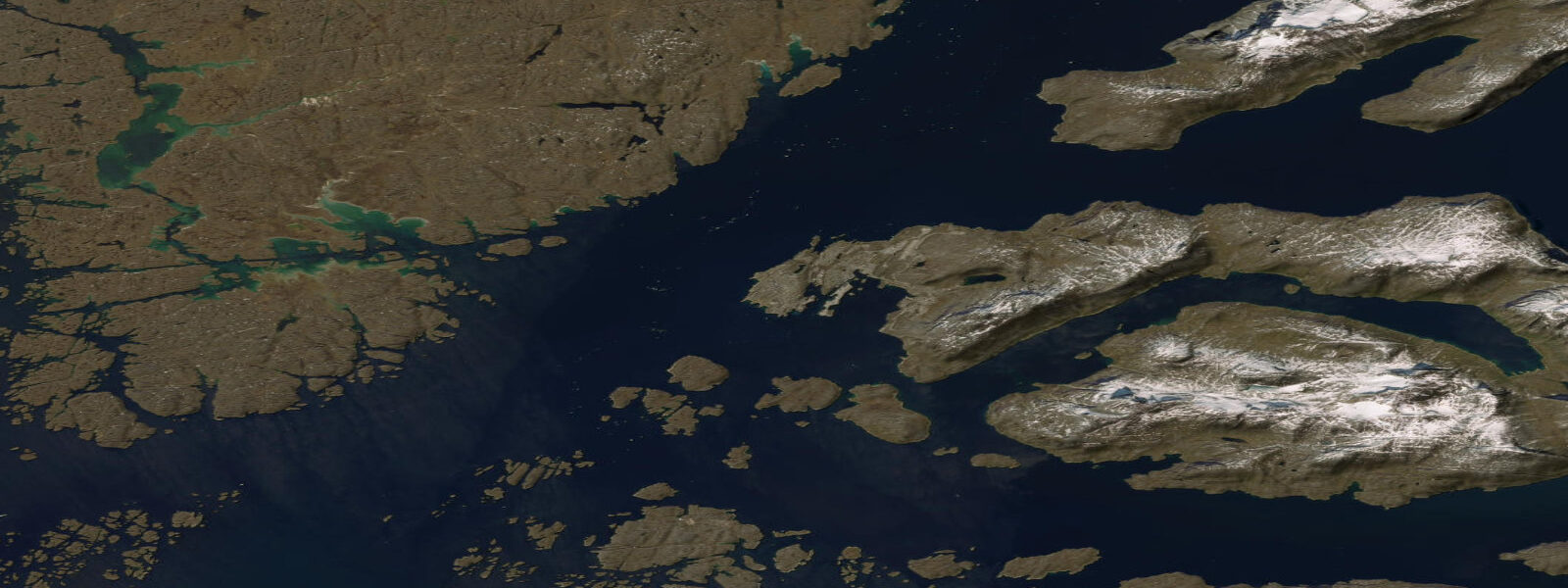
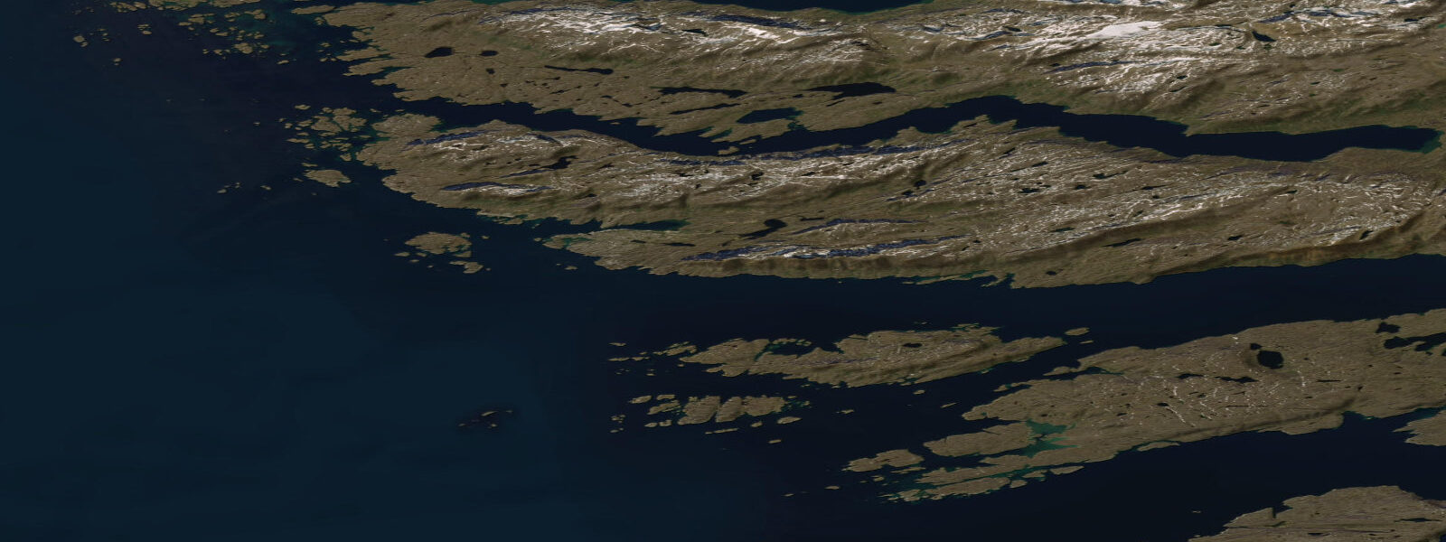
Nuuk is Greenland's capital and largest city, situated at the junction of Godthåbsfjord and the Davis Strait on the west coast at 64°N. The fjord system behind Nuuk extends 180 km inland and drains glacial meltwater from the Greenland Ice Sheet; the city sits at the fjord mouth where the tidal exchange between the open Davis Strait and the fjord system is most pronounced. With a population of 18,000, Nuuk is the administrative, commercial, and cultural centre of the world's largest island.
The tidal regime at Nuuk is genuinely significant. Mean tidal range is approximately 2.5 m, and spring range reaches 3.2–3.5 m — semidiurnal with marked diurnal inequality. Two high waters and two low waters occur each day; the higher high water and lower low water on spring tides differ substantially from the lower high and higher low. This diurnal inequality means that on a spring cycle at Nuuk, the predicted high water can range from 2.8 m to 3.5 m CD across the two daily highs, and the low from 0.0 m to 0.4 m CD. Understanding which is the greater and lesser tide on a given day requires reading the full prediction, not just a summary range figure.
For fishermen and boaters at Nuuk, the tidal range has practical daily consequences. Nuuk's fishing harbour dries partially at spring low water — the inner basin is in 1.5–2.5 m at mean low water (MLWS) and boats drawing over 1.5 m can be grounded on the lowest spring ebbs. The approach channel to the harbour maintains minimum depth of 3.0 m at MLWS; vessels drawing over 2.5 m should plan harbour entry on the flood and aim to arrive no later than 2 hours before predicted high water on spring tides. The tidal currents in Godthåbsfjord reach 1.0–2.0 knots at the narrows during spring ebb and flood — significant for small boat navigation.
For the large halibut and cod fishery that underpins Nuuk's economy, the tidal cycle is integrated into daily practice. Halibut are targeted on the ebb tide when current in the fjord narrows concentrates prey; longlines are set on the flood and hauled on the ebb. Greenlandic halibut (Reinhardtius hippoglossoides) inhabit 400–1500 m depth; the commercial fleet works from Nuuk harbour with vessels rated for Davis Strait conditions. The recreational fishery for Arctic char — which run in the fjord system in September–October — is more accessible to visitors and is managed through local guiding operators.
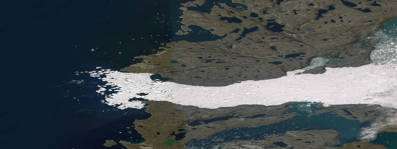
Sea ice at Nuuk is variable year to year. The harbour itself rarely freezes due to the fjord circulation and the salt content of the Davis Strait water, but ice in the outer fjord and along the coast limits small-boat operations in some years from December through April. Icebergs calved from the Ice Sheet's glacier tongues reach the outer fjord area and are present year-round in small numbers; their grounding and rolling behaviour creates hazards for small craft. The Greenland Meteorological Institute (dmi.dk/groenland) issues sea ice and iceberg advisories.
For hikers and visitors, Nuuk provides the most accessible introduction to Greenland's coastal landscape. The Old Harbour area, the Nuuk Art Museum, and the Katuaq Cultural Centre are within walking distance of each other. Kayaking in Nuuk fjord is available through guided tours; the tidal range means that put-in and take-out points change significantly over the tidal cycle and guided-tour operators schedule launches accordingly — typically 2 hours before high water on the Godthåbsfjord shore to use the flood for the outward leg.
All tide predictions for Nuuk come from the Open-Meteo Marine gridded model. Timing accuracy is ±45 minutes; height accuracy is ±0.3 m above Chart Datum. Given the 2.5 m mean range, the height uncertainty is a smaller fractional error than in microtidal regions, but the timing uncertainty of ±45 minutes translates to significant depth variation in a location with 0.5–1.0 m/hour tidal height change rates near the mid-tide.
Tide questions about Nuuk
Quick answers to the most common questions about tide times, range, and water access at Nuuk.
What is the tidal range at Nuuk and how does it affect the fishing harbour?
Nuuk has a mean tidal range of approximately 2.5 m and a spring range of 3.2–3.5 m — semidiurnal with pronounced diurnal inequality. The inner fishing harbour basin is in 1.5–2.5 m at mean low water springs (MLWS); boats drawing over 1.5 m can ground on the lowest spring ebbs. The approach channel maintains 3.0 m minimum depth at MLWS. Vessels drawing over 2.5 m should plan entry to arrive no later than 2 hours before predicted high water on spring tides. The full daily tidal prediction (not just the range summary) is needed to identify the lesser and greater tides on any given day, given the significant diurnal inequality at this latitude. Tide predictions from Open-Meteo Marine carry ±45 minutes and ±0.3 m uncertainty.
Is sea ice a concern for small boats at Nuuk?
The Nuuk harbour itself rarely freezes due to fjord circulation and salt water influence from the Davis Strait. Ice in the outer fjord and on the open Davis Strait coast can limit small-boat operations in some winters from December through April. Icebergs calved from the Greenland Ice Sheet's glacier tongues are present in the fjord system year-round in small numbers; their rolling and grounding is unpredictable and creates hazards for small craft. The Greenland Meteorological Institute (dmi.dk/groenland) issues sea ice, iceberg, and marine weather advisories for the Nuuk area. Always file a float plan and carry appropriate Arctic survival equipment for any small-boat excursion from Nuuk.
Can visitors go kayaking from Nuuk and how do tides affect the experience?
Guided kayak tours in Nuuk fjord are available through operators based in the city. The 2.5 m mean tidal range means that put-in and take-out points on the fjord shore shift significantly over the tidal cycle — exposed rock shelves that are safe landing spots at low water become submerged to 1.5–2.0 m at high water. Tour operators schedule launches to use the flood tide for the outward leg, typically putting in 2 hours before high water. Tidal currents in the fjord narrows reach 1.0–2.0 knots on spring tides — enough to require route planning to avoid paddling against the current on the return. Independent kayaking in Godthåbsfjord requires local tidal knowledge and Arctic sea-survival preparation.
What fish species can anglers catch near Nuuk?
The primary commercial and recreational fish species around Nuuk are Greenlandic halibut (Reinhardtius hippoglossoides), caught by longline at 400–1500 m depth by the commercial fleet, and Arctic char (Salvelinus alpinus), which run the fjord-side rivers on their spawning migration in September–October. Guided sport-fishing tours for Arctic char are available from Nuuk-based operators. Atlantic cod have historically been important to Nuuk but stocks have been variable with climate-driven range shifts. Halibut longline effort is concentrated on the ebb current when fjord narrows concentrate prey. Charter operators in Nuuk can advise on the current halibut grounds and the best tidal timing for the target depths.
What is the diurnal inequality in Nuuk's tides and why does it matter?
Diurnal inequality means that the two high waters in a day at Nuuk are not equal in height, nor are the two low waters. On a spring cycle, the higher high water can reach 3.5 m CD while the lower high of the same day is only 2.8 m CD — a 0.7 m difference. The lower low water on the same day may reach 0.0 m CD while the higher low is 0.4 m CD. This means a summary tidal range figure is not sufficient for planning at Nuuk; you need the full hourly prediction to know which events are the extreme ones. For harbour entry, boat grounding avoidance, and fjord-current planning, the lesser and greater tides on each specific day must be identified from the detailed prediction.
7-day tide table — Nuuk
Heights relative to MSL. Predictions: Open-Meteo Marine (MeteoFrance SMOC, 0.08° grid) — heights relative to MSL (not chart datum / LAT). Model-derived.
| Day | Type | Time | Height |
|---|---|---|---|
| Sat 27 Jun | Low | 01:12 | -1.5m |
| High | 07:11 | 0.2m | |
| Low | 12:57 | -1.6m | |
| High | 19:36 | 0.7m | |
| Sun 28 Jun | Low | 01:54 | -1.6m |
| High | 07:51 | 0.2m | |
| Low | 13:35 | -1.7m | |
| High | 20:10 | 0.8m | |
| Mon 29 Jun | Low | 14:12 | -1.8m |
| High | 20:43 | 1.0m | |
| Tue 30 Jun | Low | 03:02 | -1.8m |
| High | 08:58 | 0.4m | |
| Low | 14:47 | -1.8m | |
| High | 21:15 | 1.1m | |
| Wed 01 Jul | Low | 03:34 | -1.8m |
| High | 09:28 | 0.4m | |
| Low | 15:20 | -1.9m | |
| High | 21:47 | 1.1m | |
| Thu 02 Jul | Low | 04:07 | -1.9m |
| High | 10:01 | 0.5m | |
| Low | 15:55 | -2.0m | |
| High | 22:19 | 1.1m | |
| Fri 03 Jul | Low | 04:38 | -1.9m |
| High | 10:36 | 0.5m | |
| Low | 16:31 | -1.9m | |
| High | 22:00 | 0.8m |