Qaqortoq tide times
Qaqortoq tide forecast — heights relative to MSL.
Today's tide times for Qaqortoq
Tide times at Qaqortoq on Saturday, 4 July 2026: first low tide at 04:19pm, first high tide at 10:40pm. Sunrise 04:41am, sunset 11:35pm.
Tide chart for Qaqortoq
24-hour cosine-interpolated curve around the present moment. Heights relative to MSL. Predictions: Predictions: Open-Meteo Marine (MeteoFrance SMOC, 0.08° grid).
Sun, moon and conditions on Sat 04 Jul
Snapshot at build time — refreshes daily. Sea state from Open-Meteo Marine.
Highs and lows next 7 days
Every predicted high and low for the next week, with the daily tidal coefficient (0–120; higher = bigger swing, > 95 means stronger currents).
Other spots nearby
The three closest curated TideTurtle locations to Qaqortoq, measured by great-circle distance.
Today's solunar windows
Solunar tradition: major periods are the ≈3h windows around moon transit and opposition; minor are ≈2h around moonrise and moonset. Pair with the local tide stage and wind for the best read.
Cycle dates near Qaqortoq
Last spring tide on Fri 03 Jul (range 2.0m). Next neap on Tue 07 Jul.
Spring tides cluster around new and full moons (biggest swings). Neap tides land on quarter moons (smallest swings). See the spring tide and neap tide glossary entries for the why.
About tides at Qaqortoq
A short guide to the coastline at Qaqortoq — geography, sea state, and what the tide is actually doing under your feet.
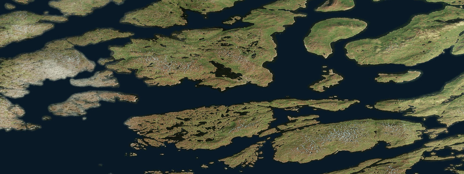
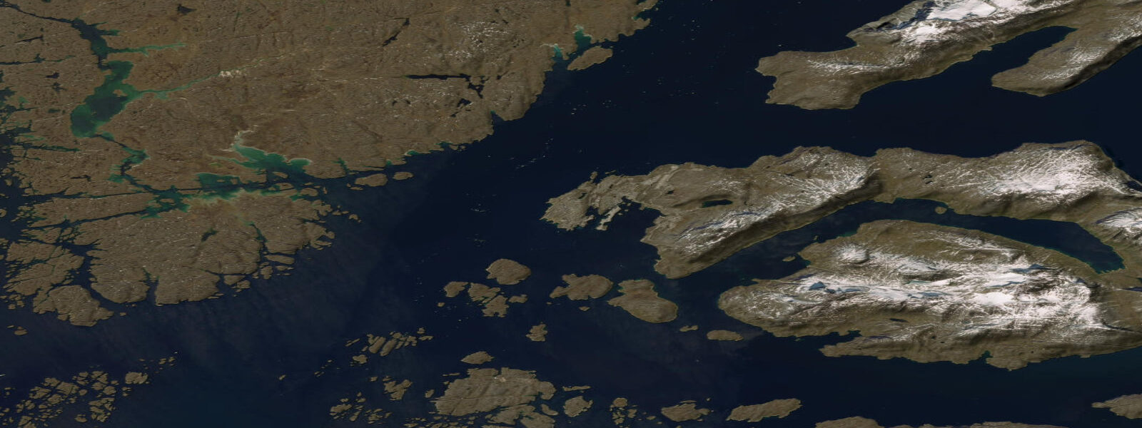
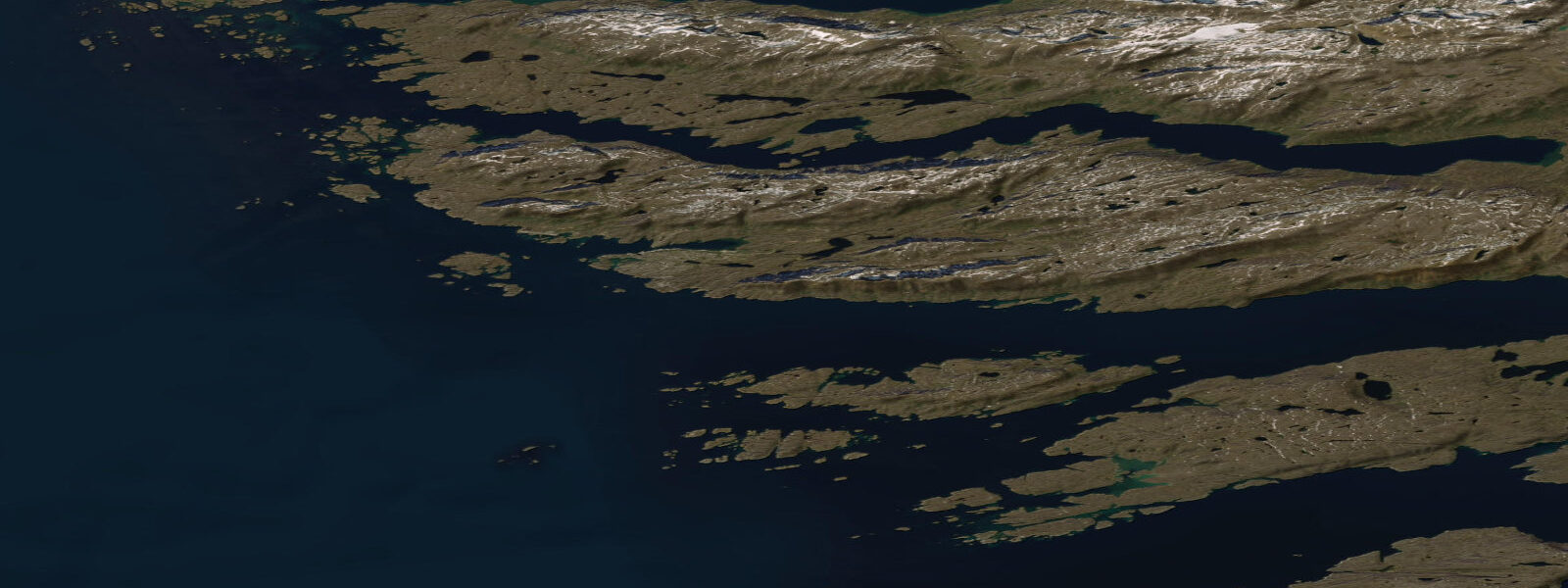
Qaqortoq — known as Julianehåb under the Danish colonial name used until 2009 — is the largest town in South Greenland and the administrative centre of the Kujalleq municipality, a territory that encompasses some of the most historically significant land in the North Atlantic. The town of roughly 3,000 people sits on the northwestern shore of a protected fjord arm, surrounded by granite hillsides, accessible only by Air Greenland from Narsarsuaq or by the coastal ferry (the Arctic Umiaq Line) that serves Greenland's west coast.
The Norse ruins at Hvalsey, 8 km east of Qaqortoq by boat, are the best-preserved Norse church remains in Greenland and the site of the last documented event in Norse Greenlandic history: a wedding recorded in Icelandic annals on 16 September 1408. The Norse Eastern Settlement (Eystribyggð), of which Hvalsey was part, was established around 985 AD and lasted until the early fifteenth century, when the settlement disappeared — the cause still debated among archaeologists, with climate change, plague, and conflict with the Thule Inuit culture among the proposed factors. The Hvalsey church walls stand to near full height, a 20-minute boat trip from Qaqortoq that is the region's most accessible archaeological site.
The Stone and Man outdoor sculpture project transformed Qaqortoq's streets and surrounding hillside from 1993 to 1994: 34 sculptures carved directly into the rock outcrops of the town by Scandinavian and Greenlandic artists. The sculptures are integrated into the landscape rather than placed on plinths; they are found in alleyways, on hillside boulders, and along the waterfront.
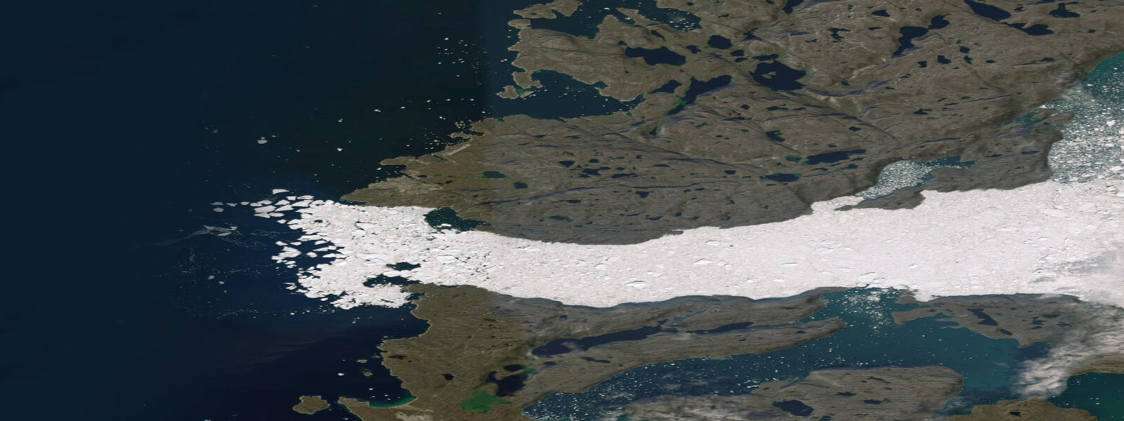
The tidal range at Qaqortoq is substantial. West Greenland is in the North Atlantic tidal regime, and the semidiurnal spring range here is 4.0 to 5.0 m — comparable to the Belgian North Sea coast. This is a large tide in practical terms: the harbour rises and falls 4 m on a spring cycle, and the fjord arms around Qaqortoq expose significant intertidal rock and sediment at low water. Boat landings at Hvalsey and other fjord sites time their approach to the state of the tide. The large range means that icebergs grounding at low water on the shallow fjord approaches can refloat on the rising tide — iceberg movement in this region is not a slow predictable event but can be rapid and unexpected as a 50-tonne block refloats on a 4 m spring flood.
Seals — ringed seal and harp seal — are routinely visible from the Qaqortoq harbour approach and from the ferry. Humpback and minke whales visit the outer fjord in summer, feeding on the capelin and Arctic cod that concentrate in the fjord upwelling zones.
Predictions on this page come from Open-Meteo Marine, a gridded global ocean model. Accuracy is typically within plus or minus 45 minutes on timing and 0.2 to 0.3 m on height — at Qaqortoq's 4 to 5 m spring range, the height uncertainty is a modest fraction of the total signal and the predictions are more reliable here than at microtidal stations. For authoritative Greenlandic tide data, the Danish Meteorological Institute (DMI) publishes harmonic tide tables for Qaqortoq (Julianehåb gauge).
Tide questions about Qaqortoq
Quick answers to the most common questions about tide times, range, and water access at Qaqortoq.
When is the next high tide at Qaqortoq?
The hero block at the top of this page shows the next predicted high at Qaqortoq in local West Greenland Time (WGT/WGST, UTC-3/UTC-2 with summer time). Qaqortoq has a North Atlantic semidiurnal tide with a spring range of 4.0 to 5.0 m — a large tide that is very practically significant for boat operations, harbourage, and access to fjord-side archaeological sites including the Hvalsey Norse ruins. The Danish Meteorological Institute (DMI) publishes the authoritative harmonic tide tables for Qaqortoq.
What is the tidal range at Qaqortoq?
Mean spring range at Qaqortoq is 4.0 to 5.0 m — a large semidiurnal tide characteristic of the west Greenland fjord coast in the North Atlantic tidal regime. Neap range compresses to roughly 2.0 to 3.0 m. The 4 to 5 m spring range means that icebergs can ground on fjord shoals at low water and refloat on the flood — iceberg movement around Qaqortoq is not only wind-driven but also tide-driven, and approach planning to fjord anchorages must account for the tidal state.
Where do these tide predictions come from?
Open-Meteo Marine, a free gridded global ocean model. At Qaqortoq's 4 to 5 m spring range, the model's typical accuracy (plus or minus 45 minutes, 0.2 to 0.3 m) is a small fraction of the total signal, making the predictions more reliable here than at microtidal stations. The Danish Meteorological Institute (DMI) publishes the authoritative harmonic tide tables for Greenlandic ports including Qaqortoq (formerly Julianehåb), and the Danish Hydrographic Service (SOK/SDFE) provides nautical charts.
How do I visit the Hvalsey Norse ruins from Qaqortoq?
Hvalsey is 8 km east of Qaqortoq by boat, accessible by chartered water taxi from the town harbour or by organised day tour. The ruins — the well-preserved walls of the Norse church and traces of the surrounding farmstead complex — are on the shore of Hvalsefjord and are approached by a short walk from the landing point. The site is unguarded and free to visit; the church walls stand to near full height. Boat departure time should be planned around the tide: the landing is accessible at all tide states but is more comfortable at mid-tide on the flood. The Narsarsuaq-based tour operators offer packaged day excursions from the regional airport.
Is this safe to use for navigation?
No. TideTurtle is a planning tool for recreational coastal activity, not a navigation resource. The fjords around Qaqortoq contain icebergs, brash ice, and unlit rocks; navigation requires both the Danish Hydrographic Service (SDFE) charts and iceberg situational awareness from the Danish Meteorological Institute (DMI). The Arctic Umiaq Line ferry and Air Greenland operate to their own timetables and weather protocols. Open-Meteo Marine gridded predictions do not replace authoritative sources for any vessel operation in Greenlandic waters.
7-day tide table — Qaqortoq
Heights relative to MSL. Predictions: Open-Meteo Marine (MeteoFrance SMOC, 0.08° grid) — heights relative to MSL (not chart datum / LAT). Model-derived.
| Day | Type | Time | Height |
|---|---|---|---|
| Sat 04 Jul | Low | 16:19 | -1.4m |
| High | 22:40 | 0.6m | |
| Sun 05 Jul | Low | 05:05 | -1.4m |
| High | 11:10 | 0.2m | |
| Low | 17:01 | -1.2m | |
| High | 23:16 | 0.6m | |
| Mon 06 Jul | Low | 05:44 | -1.3m |
| High | 11:57 | 0.3m | |
| Low | 17:48 | -1.0m | |
| Tue 07 Jul | High | 00:00 | 0.6m |
| Low | 06:27 | -1.2m | |
| High | 12:46 | 0.4m | |
| Low | 18:46 | -0.9m | |
| Wed 08 Jul | High | 00:47 | 0.4m |
| Low | 07:16 | -1.2m | |
| High | 13:44 | 0.4m | |
| Low | 19:53 | -0.9m | |
| Thu 09 Jul | High | 01:46 | 0.3m |
| Low | 08:15 | -1.2m | |
| High | 14:53 | 0.5m | |
| Low | 21:11 | -0.9m | |
| Fri 10 Jul | High | 03:02 | 0.2m |
| Low | 09:19 | -1.2m | |
| High | 16:01 | 0.6m | |
| Low | 22:00 | -1.0m |