Sisimiut tide times
Sisimiut tide forecast — heights relative to MSL.
Today's tide times for Sisimiut
Tide times at Sisimiut on Saturday, 27 June 2026: first low tide at 02:07am, first high tide at 07:50am, second low tide at 01:34pm, second high tide at 08:20pm.
Tide chart for Sisimiut
24-hour cosine-interpolated curve around the present moment. Heights relative to MSL. Predictions: Predictions: Open-Meteo Marine (MeteoFrance SMOC, 0.08° grid).
Sun, moon and conditions on Sat 27 Jun
Snapshot at build time — refreshes daily. Sea state from Open-Meteo Marine.
Highs and lows next 7 days
Every predicted high and low for the next week, with the daily tidal coefficient (0–120; higher = bigger swing, > 95 means stronger currents).
Other spots nearby
The three closest curated TideTurtle locations to Sisimiut, measured by great-circle distance.
Today's solunar windows
Solunar tradition: major periods are the ≈3h windows around moon transit and opposition; minor are ≈2h around moonrise and moonset. Pair with the local tide stage and wind for the best read.
Cycle dates near Sisimiut
Next spring tide on Thu 02 Jul (range 3.1m). Next neap on Sun 28 Jun.
Spring tides cluster around new and full moons (biggest swings). Neap tides land on quarter moons (smallest swings). See the spring tide and neap tide glossary entries for the why.
About tides at Sisimiut
A short guide to the coastline at Sisimiut — geography, sea state, and what the tide is actually doing under your feet.
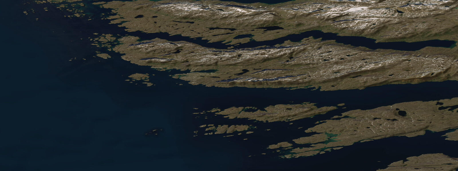
Sisimiut is Greenland's second-largest city with a population of approximately 5,500, located at 67°N on the west coast, 320 km north of Nuuk and 240 km south of Ilulissat. It sits at the boundary between the subarctic and Arctic climate zones — a boundary that has significant practical implications: Sisimiut's harbour is ice-free for approximately 9–10 months of the year, longer than Ilulissat's, and the town operates as a logistics hub for communities further north when those harbours are frozen. The town is colourful, compact, and built on a rocky peninsula with the Greenland Ice Sheet visible on the horizon to the east.
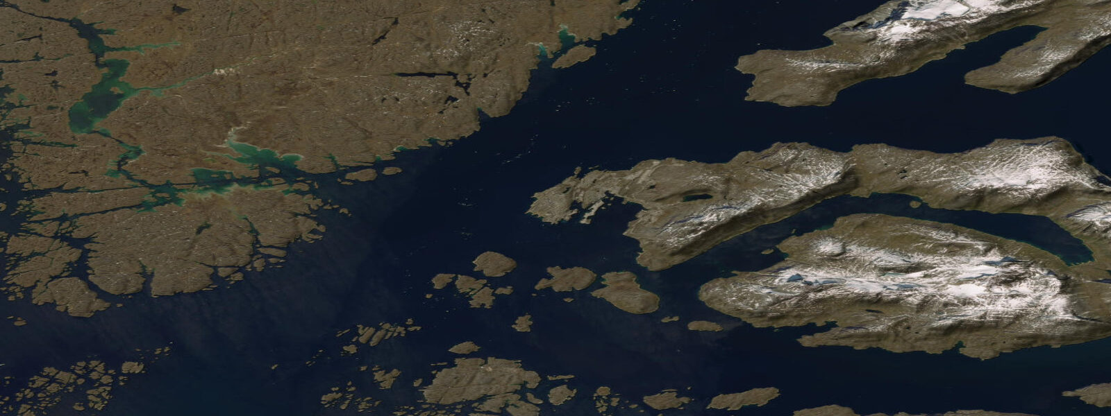
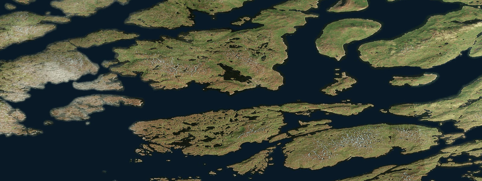
The tidal regime at Sisimiut is West Greenland semidiurnal: mean range approximately 2.3–2.5 m, spring range up to 3.0 m, with diurnal inequality. The tidal currents through the offshore islands and skerries around the town are channelled and can reach 1.5–2.5 knots on spring ebb and flood — among the strongest coastal currents on this section of the west coast. The skerry zone immediately west of the town provides complex, tide-influenced navigation that requires local chart knowledge for unfamiliar vessels.
For sea kayakers, Sisimiut is one of the premier Arctic kayaking destinations. The route from Sisimiut south to Nuuk — the Arctic Circle Trail by sea — is a multi-week expedition covering 320 km of fjord, open coast, and island passages. The tidal currents in the inter-island passages favour specific transit windows: arriving at the entrance to a 1.5-knot flowing passage on the flood when you want to go north, or on the ebb going south, cuts paddling effort significantly. Local guides from Sisimiut-based operators know the currents intimately and are the responsible way to undertake this route for first-timers.
For the recreational visitor staying in Sisimiut, day paddles in the immediate town waters are available from local kayak operators. The tidal current off the harbour entrance runs strongly on the ebb and flood; beginners should paddle in the protected inner harbour until comfortable with the conditions. The outer skerry zone — accessible on a slack water transition — offers dramatic Arctic coastal scenery: sea birds on the rock stacks, occasional humpback and minke whales feeding on the tidal rips, and the coastal mountain backdrop.
Humpback whales are common in the outer waters around Sisimiut in summer (June–September). They concentrate on the tidal rips at the skerry headlands where sand lance and capelin are pushed to the surface by the current. The ebb and flood transition windows — approximately 1 hour either side of high water and low water — produce the most predictable whale activity at fixed surface-feeding rip locations. Whale watching by boat is available; the same tidal timing principles apply.
For anglers, the tidal rips around the outer skerries concentrate cod, Atlantic mackerel (which have moved north with warming seas in recent years), and halibut in the deeper passages. The rock-platform fishing around the town peninsula is accessible at low water exposures. Greenlandic halibut are targeted by longline by the commercial fleet out of the harbour. A guided day-fishing charter from Sisimiut provides the best access to the productive tidal rip locations.
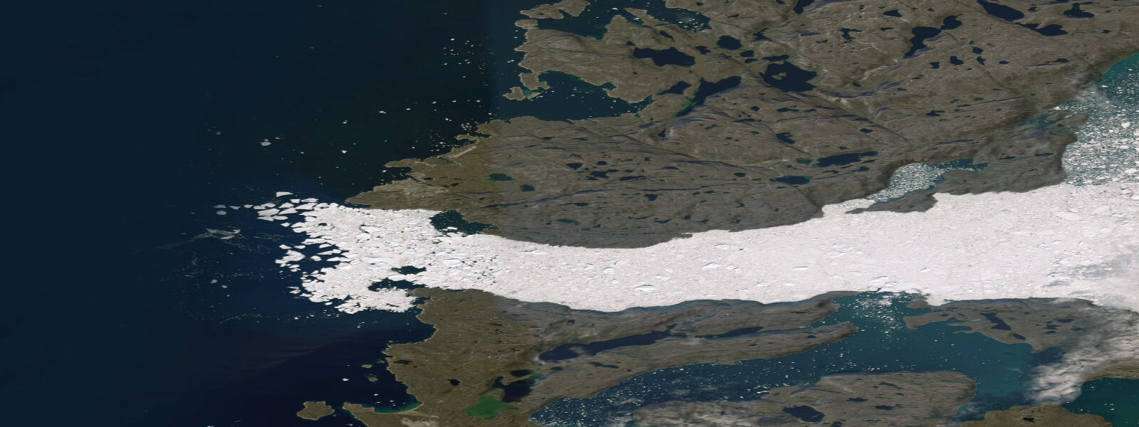
Sisimiut's sea-ice season is shorter than communities to the north: the harbour is typically ice-free from March onwards, making it the first operational Arctic port each spring. During the short ice-affected period (December–February in most years), the inner harbour freezes but the tidal flushing from the outer passages keeps the harbour entrance workable in most winters. Davis Strait pack ice approaches the coast in severe winters.
All tide predictions for Sisimiut come from the Open-Meteo Marine gridded model. Timing accuracy is ±45 minutes; height accuracy is ±0.3 m above Chart Datum. For navigating the tidal passages in the skerry zone west of the town, local tidal reference data from the Danish Meteorological Institute (dmi.dk) should be used in preference to the gridded model for passage planning.
Tide questions about Sisimiut
Quick answers to the most common questions about tide times, range, and water access at Sisimiut.
What are the tidal currents like in the skerry zone west of Sisimiut?
The inter-island passages and skerry channels west of Sisimiut channel the West Greenland 2.3–2.5 m mean tidal range into currents of 1.5–2.5 knots at spring ebb and flood. Narrow passages between offshore islands can produce stronger local accelerations. For kayakers and small boats, transit timing matters: an opposing 2.0-knot current in a 500-metre passage makes headway difficult and potentially dangerous for inexperienced paddlers. Use the slack-water transition window — approximately 30–45 minutes either side of predicted high water and low water — for passage entries. Local DMI tidal reference data is more accurate than the Open-Meteo gridded model for the specific passages.
Are humpback whales predictably present near Sisimiut and when is the best time to see them?
Humpback whales are regularly present in Sisimiut's outer waters from June through September, feeding on sand lance and capelin concentrated by tidal rips at the skerry headlands. The most predictable surface-feeding activity occurs at the active tidal rip locations during the ebb and flood phases, particularly in the 1–2 hours of peak current each side of mid-tide. The transition to slack water reduces rip intensity and whales may disperse. Whale-watching boat tours from Sisimiut are available in summer; operators time departures for the active tidal phase at known rip locations. Minke whales and occasionally fin whales also feed in the same areas.
Is Sisimiut's harbour ice-free and when does the sea-ice season occur?
Sisimiut's harbour is ice-free for approximately 9–10 months of the year, making it one of the most accessible Arctic-latitude harbours in Greenland. The ice-affected period is typically December through February, and even then, tidal flushing from the outer passages keeps the harbour entrance workable in most winters. This stands in contrast to Ilulissat 240 km north, where Disko Bay is frozen for 4–5 months. Davis Strait pack ice can approach the Sisimiut coast in severe winters. The ice-free season makes Sisimiut the staging point for logistics to northern communities when their harbours are frozen; spring re-opening of the northern ports typically starts with vessels dispatched from Sisimiut.
Can a visitor sea kayak from Sisimiut without a guide?
Day paddles in the inner harbour area are manageable for experienced sea kayakers without a guide, but the outer skerry zone with 1.5–2.5 knot tidal currents, unpredictable weather, and remote coastal terrain should not be attempted without local guidance on a first visit. The Arctic Circle sailing and paddling routes south to Nuuk are multi-week expeditions that require full expedition preparation, local tidal knowledge, and emergency protocols for Arctic conditions. Sisimiut-based kayak operators offer guided day trips timed to the tidal currents — the best way to experience the skerry zone safely. Kayak rental without guiding is available for qualified paddlers who can demonstrate local familiarity.
What is the diurnal inequality in tides at Sisimiut and how should it be used?
Diurnal inequality at Sisimiut means the two daily high waters differ by 0.3–0.8 m and the two low waters differ by a similar amount, depending on the lunar declination cycle (which peaks every 13.7 days). On days of maximum declination, the difference between the greater and lesser tides is most pronounced; on equatorial days, the two highs are nearly equal. For tidal passage planning, the current speed in a given passage is proportional to the tidal range of that particular ebb or flood cycle — the spring ebb following the greater high water produces stronger current than the neap ebb following the lesser. Check the hourly prediction for the specific day to identify which cycle is greater before planning a passage transit.
7-day tide table — Sisimiut
Heights relative to MSL. Predictions: Open-Meteo Marine (MeteoFrance SMOC, 0.08° grid) — heights relative to MSL (not chart datum / LAT). Model-derived.
| Day | Type | Time | Height |
|---|---|---|---|
| Sat 27 Jun | Low | 02:07 | -1.5m |
| High | 07:50 | -0.1m | |
| Low | 13:34 | -1.7m | |
| High | 20:20 | 0.8m | |
| Sun 28 Jun | Low | 02:49 | -1.6m |
| High | 08:33 | -0.1m | |
| Low | 14:14 | -1.7m | |
| High | 20:56 | 1.0m | |
| Mon 29 Jun | Low | 03:27 | -1.7m |
| High | 09:10 | 0.0m | |
| Tue 30 Jun | Low | 04:02 | -1.8m |
| High | 22:03 | 1.1m | |
| Wed 01 Jul | Low | 04:38 | -1.9m |
| High | 10:18 | 0.1m | |
| Low | 16:03 | -1.9m | |
| High | 22:37 | 1.1m | |
| Thu 02 Jul | Low | 05:11 | -2.0m |
| High | 10:55 | 0.1m | |
| Low | 16:37 | -1.9m | |
| High | 23:09 | 1.1m | |
| Fri 03 Jul | Low | 05:46 | -2.0m |
| High | 22:00 | 0.5m |