Kalamata tide times
Kalamata tide forecast — heights relative to MSL.
Today's tide times for Kalamata
Tide times at Kalamata on Saturday, 27 June 2026: first high tide at 15:00. Sunrise 06:13, sunset 20:55.
Tide chart for Kalamata
24-hour cosine-interpolated curve around the present moment. Heights relative to MSL. Predictions: Predictions: Open-Meteo Marine (MeteoFrance SMOC, 0.08° grid).
Sun, moon and conditions on Sat 27 Jun
Snapshot at build time — refreshes daily. Sea state from Open-Meteo Marine.
Highs and lows next 7 days
Every predicted high and low for the next week, with the daily tidal coefficient (0–120; higher = bigger swing, > 95 means stronger currents).
Other spots nearby
The three closest curated TideTurtle locations to Kalamata, measured by great-circle distance.
Today's solunar windows
Solunar tradition: major periods are the ≈3h windows around moon transit and opposition; minor are ≈2h around moonrise and moonset. Pair with the local tide stage and wind for the best read.
About tides at Kalamata
A short guide to the coastline at Kalamata — geography, sea state, and what the tide is actually doing under your feet.
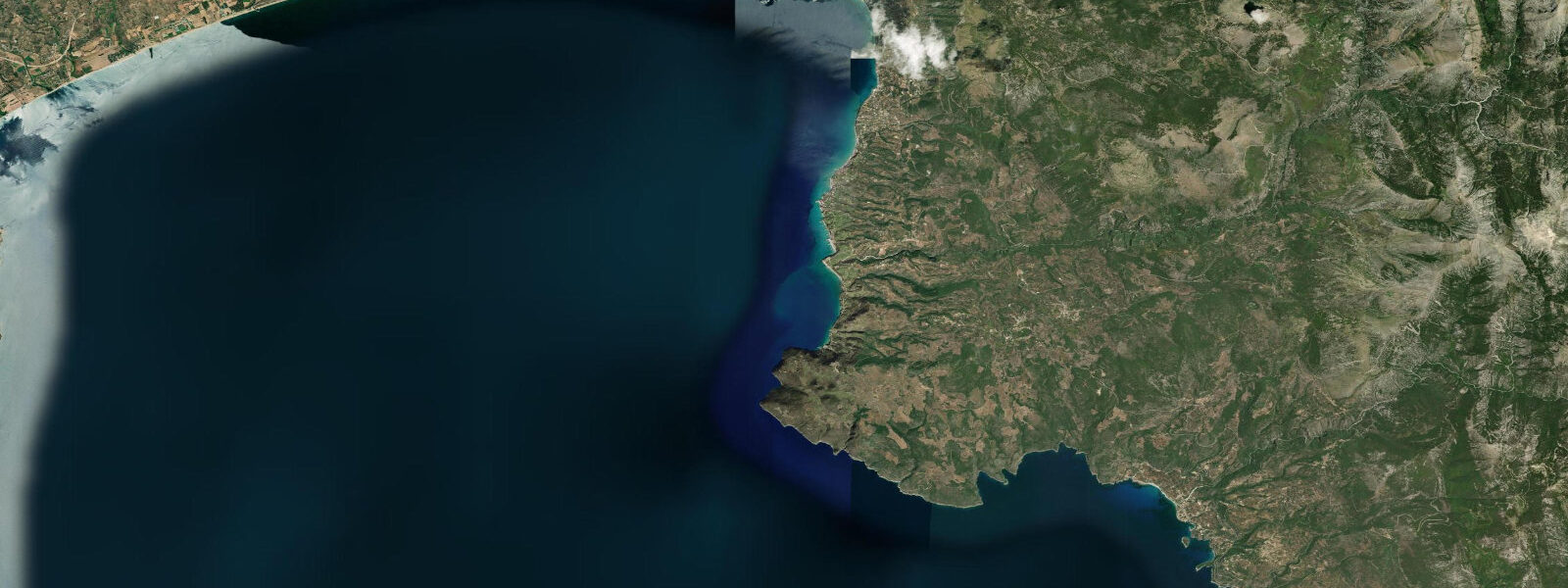
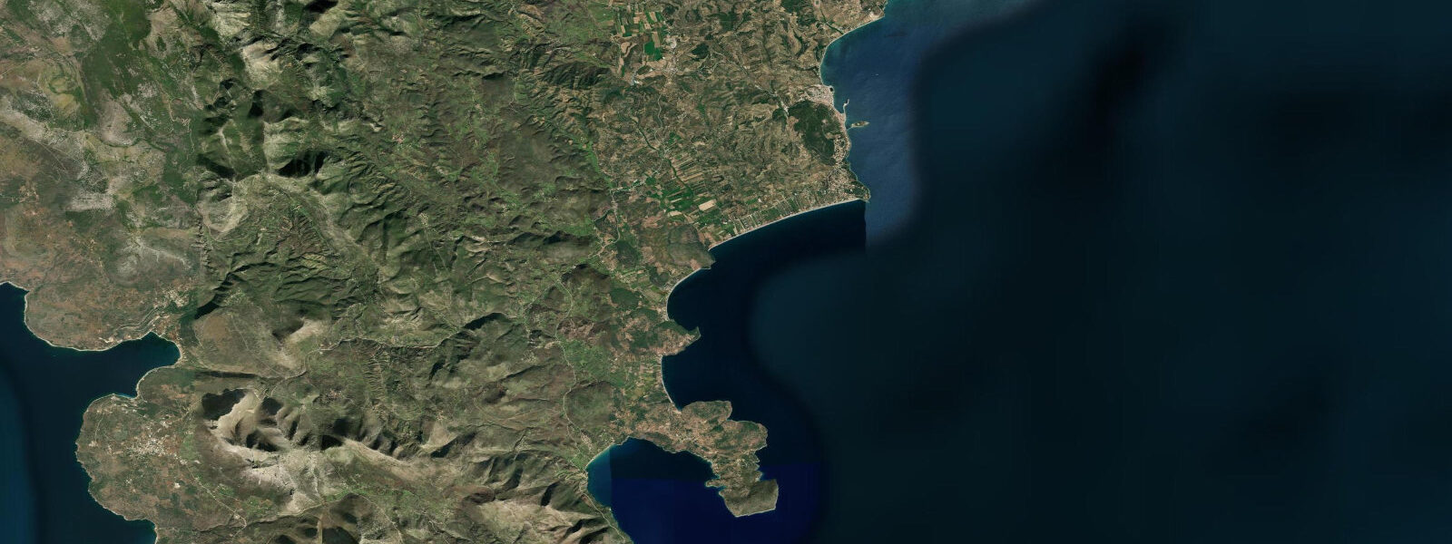
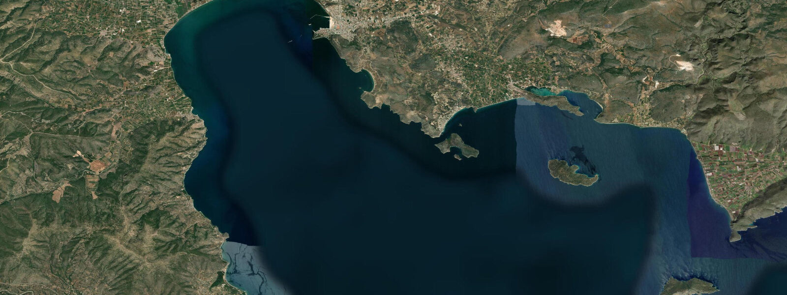
Kalamata sits at the head of the Messenian Gulf in the southwest Peloponnese, backed by the Taygetos range on the east and the lower hills of Messenia to the west. It is the second-largest city of the Peloponnese with a population of around 70,000, and functions as the regional capital and commercial port for the entire southwest peninsula. The city's name is known worldwide from the long, dark Kalamata olive — the PDO-protected variety harvested from the terraced hillside groves on the slopes above the coastal plain every November. The harbour exports these olives and olive oil across the Mediterranean and beyond.
The tidal regime at Kalamata is microtidal: spring range approximately 0.3 m above Chart Datum in the Messenian Gulf. The gulf is oriented roughly north-south and is more open to the Mediterranean than the Laconian Gulf to the east; it receives more direct southerly swell. Meteorological seiches in the Messenian Gulf can add 0.2–0.3 m to the predicted water level during sustained southerly airflow. The commercial harbour at Kalamata is protected by a substantial breakwater on the south side; the small-boat marina is inside this structure and is effectively sheltered from all but extreme southerly conditions.
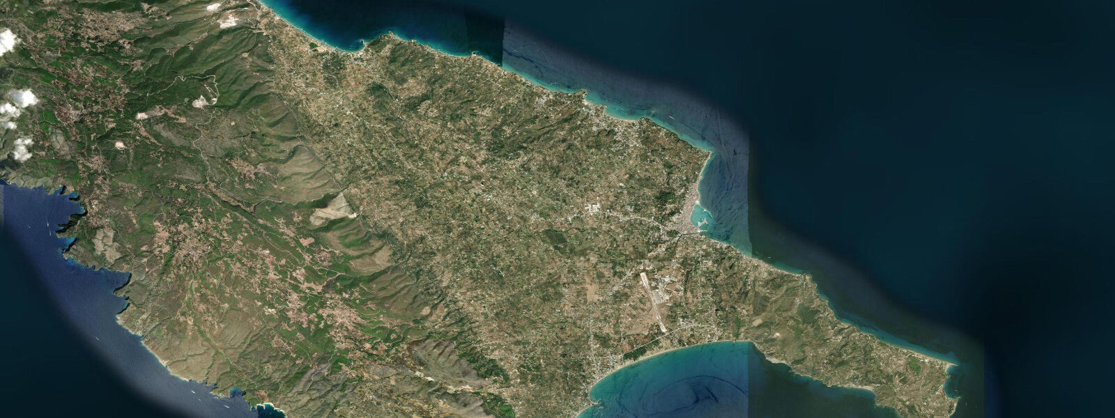
The defining coastal feature for residents and visitors is the long sandy beach running east from the waterfront for approximately 9 km to the suburb of Stoupa. This is a continuous strip of fine dark sand — dark from the local igneous geology — backed by the coast road and fronted by the open Messenian Gulf. The beach is busy with local families from June through September and is effectively empty from October through May. The 0.3 m tidal range produces a waterline shift of 20–30 m on the shallow beach slope — detectable but not dramatic.
For anglers, the Messenian Gulf supports a productive small-boat fishery. Dorado (mahi-mahi) move through the open gulf in late summer, targeted by trolling between July and October. Red mullet are bottom-fished on the sandy gulf floor at 30–80 m depth. From shore, sea bass and bream work the rocky sections of the waterfront south of the commercial harbour and the breakwater itself; these fish are most active at low light and the negligible tidal range means the angler positions on the rock edge rather than waiting for tidal phase.
For families, the city beach is the straightforward option: 9 km of sand within walking distance of the city centre, with cafes and beach services at multiple points along its length. The water shoals gently and the tidal range is insufficient to create any sudden depth change. The best swimming months are June through October; July and August have the warmest water (25–26 °C) but the most crowded sections.
For sea kayakers, Kalamata offers access in two directions: north up the inner Messenian Gulf, where the water is more sheltered and the coastline is agricultural and relatively undeveloped; or south toward the outer gulf and the Mani peninsula coastline, which becomes progressively wilder and more remote. The outer gulf receives southwesterly swell from the open Mediterranean and requires a settled weather window. The inner gulf is suitable for beginners in calm conditions, with the 0.3 m tidal range creating no meaningful hazard.
The city suffered a major earthquake in September 1986 — magnitude 5.9 — that destroyed much of the historic centre. The rebuilt city has a more modern character than the other Peloponnesian coastal towns. The old neighbourhood of Ano Poli (upper town) on the hill above the commercial area retained some of the older building stock and has a castle with views over the gulf. The olive harvest season in November transforms the hillside roads with laden tractors and the smell of pressed oil from the cooperatives.
All tide predictions for Kalamata come from the Open-Meteo Marine gridded model. Timing accuracy is ±45 minutes; height accuracy is ±0.3 m above Chart Datum.
Tide questions about Kalamata
Quick answers to the most common questions about tide times, range, and water access at Kalamata.
What is the tidal range at Kalamata and how does it affect the city beach?
Kalamata's spring tidal range is approximately 0.3 m above Chart Datum — microtidal. On the gently sloping city beach, this produces a waterline shift of 20–30 m between high and low water. The beach is wide enough that this makes no meaningful difference to usable sand area. The more significant water-level variable is the southerly Sirocco wind that occasionally raises levels 0.2–0.3 m above prediction and generates onshore chop. All tide predictions carry ±45 minutes timing uncertainty and ±0.3 m height uncertainty from the Open-Meteo Marine model.
When is the best time to swim at Kalamata, and what are sea temperatures?
Sea temperature in the Messenian Gulf peaks at 25–26 °C in July–August and stays above 20 °C from June through October. The beach runs for 9 km east from the city centre — the central sections are busiest in July and August, the eastern sections near Stoupa are quieter throughout the season. The 0.3 m tidal range does not create any depth hazard at the beach. The Sirocco (southerly) can generate onshore chop that makes the open-gulf sections uncomfortable for weak swimmers; calmer conditions are found in the mornings before the afternoon sea breeze builds.
What fishing opportunities are available near Kalamata?
Dorado (mahi-mahi) pass through the outer Messenian Gulf from July to October, targeted by trolling at 4–6 knots over the 50–100 m depth contour. Red mullet are bottom-fished at 30–80 m on the sandy gulf floor by the local fleet year-round. Shore anglers work the rocky sections of the waterfront south of the commercial harbour and the harbour breakwater at dawn and dusk for bream and sea bass. The 0.3 m tidal range creates no meaningful tidal window — fishing times are driven by light level and season. Squid jigging from the harbour quay is productive October through December.
Is the Kalamata marina accessible by small boat, and what should sailors know?
The Kalamata small-boat marina is located inside the main commercial harbour breakwater, sheltered from southerly swell. The marina has floating pontoons and accepts visiting yachts in the tourist season. Approach is straightforward — the commercial port channel is well marked. Tidal range of 0.3 m means no depth change concern for approach or berthing. The main navigation variable in the Messenian Gulf is southerly swell building in strong southerly airflow: the outer gulf is exposed, and the sea state at the harbour entrance can be uncomfortable in sustained Sirocco. Meteorological sea-level variation of ±0.2–0.3 m is more practically significant than the astronomical tide here.
What can sea kayakers expect when paddling from Kalamata?
The city beach provides a flat-water launch at any tidal state. Paddling north up the inner Messenian Gulf is sheltered and suits all experience levels in calm conditions — the coast is agricultural and undeveloped, with small villages at intervals. Paddling south toward the outer gulf and Mani coast requires open-water experience and a weather window: southwesterly swell enters the outer gulf from the open Mediterranean and can reach 1.5–2.0 m on windy days. The 0.3 m tidal range creates no current hazard anywhere in the gulf. Morning starts before the afternoon sea breeze arrives give the best conditions.
8-day tide table — Kalamata
Heights relative to MSL. Predictions: Open-Meteo Marine (MeteoFrance SMOC, 0.08° grid) — heights relative to MSL (not chart datum / LAT). Model-derived.
| Day | Type | Time | Height |
|---|---|---|---|
| Sat 27 Jun | High | 15:00 | -0.4m |
| Sun 28 Jun | Low | 09:00 | -0.5m |
| Mon 29 Jun | — | ||
| Tue 30 Jun | — | ||
| Wed 01 Jul | High | 17:00 | -0.3m |
| Thu 02 Jul | — | ||
| Fri 03 Jul | — | ||
| Sat 04 Jul | Low | 01:00 | -0.5m |