Zakynthos tide times
Zakynthos tide forecast — heights relative to MSL.
Tide chart for Zakynthos
24-hour cosine-interpolated curve around the present moment. Heights relative to MSL. Predictions: Predictions: Open-Meteo Marine (MeteoFrance SMOC, 0.08° grid).
Sun, moon and conditions on Sun 21 Jun
Snapshot at build time — refreshes daily. Sea state from Open-Meteo Marine.
Highs and lows next 7 days
Every predicted high and low for the next week, with the daily tidal coefficient (0–120; higher = bigger swing, > 95 means stronger currents).
Other spots nearby
The three closest curated TideTurtle locations to Zakynthos, measured by great-circle distance.
Today's solunar windows
Solunar tradition: major periods are the ≈3h windows around moon transit and opposition; minor are ≈2h around moonrise and moonset. Pair with the local tide stage and wind for the best read.
About tides at Zakynthos
A short guide to the coastline at Zakynthos — geography, sea state, and what the tide is actually doing under your feet.
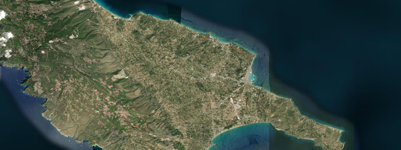
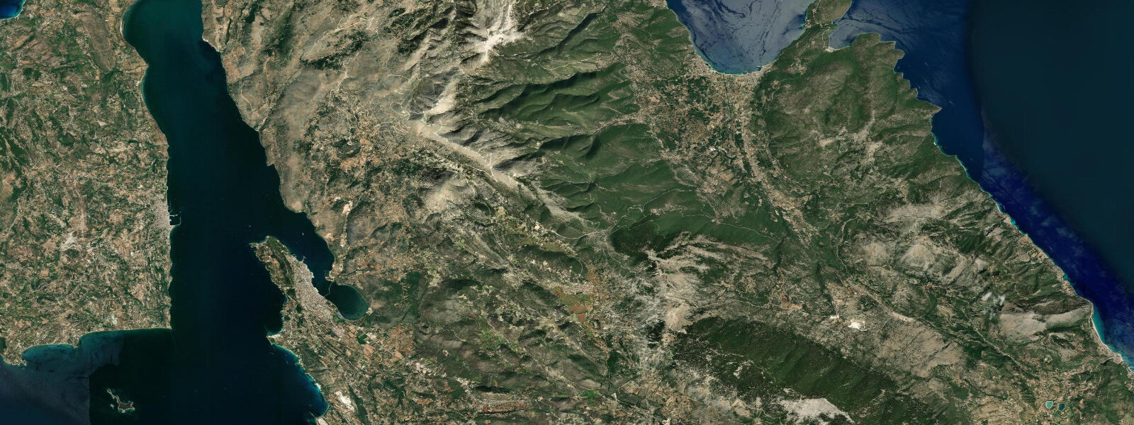
Zakynthos (Zante) is the southernmost of the main Ionian Islands, 20 km west of the Peloponnese coast. The island is roughly triangular, 40 km north to south, with a mountainous western spine peaking at 758 m (Vrachionas) and a broad flat plain on the eastern half that holds most of the population, the airport, and the agricultural land. Zakynthos town — rebuilt after the 1953 earthquake in a neoclassical vernacular — faces northeast across the strait toward the Peloponnese.
The tidal range at Zakynthos is 0.2–0.3 m mean — the smallest of the main Ionian Islands, reflecting the island's southern position and its distance from the Adriatic tidal source. Tides are semidiurnal; the Hellenic Navy Hydrographic Service (HNHS) publishes official predictions for Zakynthos port. TideTurtle displays Open-Meteo Marine modelled data (±45 min, ±0.2–0.3 m accuracy).
Navagio Beach — the Shipwreck Beach — is the most photographed location in Greece and arguable one of the most reproduced beach images in European tourism. The cove is enclosed by 200 m white limestone cliffs on three sides and open to the northwest; there is no road access from the cliff top. The stranded vessel is the MV Panagiotis, a freighter that was reportedly carrying contraband cigarettes and whisky when it ran aground in a storm in October 1980. The hull has been rusting in place for over 40 years; the white limestone sand below the cliffs has bleached it further. The beach is accessible only by boat, typically a 20-minute crossing from the northern beaches (Porto Vromi, Agios Nikolaos) or a longer scenic excursion by glass-bottom boat from Zakynthos town harbour.
The approach to Navagio from the sea is tidal in the sense that the cove's single entrance faces northwest and is exposed to Ionian swell. When a northwesterly swell is running (0.5 m or more at the cove entrance), landing by small boat becomes difficult and the excursion boats turn back. The tidal range itself — 0.2–0.3 m — has no effect on landing conditions; it is too small to modify the beach significantly. The viewpoint above the cove, accessible from the north coast cliff road, gives the canonical overhead perspective on the beach and wreck and is accessible regardless of sea conditions.
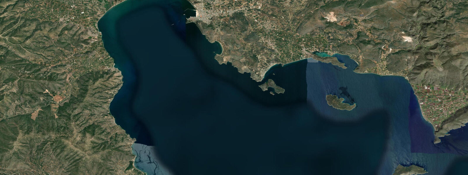
Laganas Bay on the south coast of Zakynthos is the principal nesting beach for the Mediterranean loggerhead sea turtle (Caretta caretta) in Greece. The bay is a broad, shallow, sandy arc approximately 9 km long; the nesting beaches extend along the Laganas and Sekania sections at the bay's centre. Nesting occurs from late May through August; females come ashore at night to lay clutches of approximately 100–120 eggs in excavations above the high-water line. The eggs incubate for approximately 55–60 days; hatchlings emerge and make for the sea, guided by the light horizon over the water.
The tidal range is directly relevant to nest survival. Females lay above the high-water line — the highest point the tide reaches during the incubation period — but the precise location of that line depends on the combination of tidal state and wave run-up. On a 0.2–0.3 m tide, the high-water mark is well-defined and stable; nests laid 1–2 m above the predicted high-water line have a high probability of remaining dry. A storm surge or elevated sea level event (a 0.3–0.5 m meteorological setup from a sustained southerly) can temporarily push the waterline above the predicted astronomical high water and inundate nests laid too close to the tide line. ARCHELON, the Greek Sea Turtle Protection Society, monitors nest positions relative to the high-water mark and relocates at-risk nests as a management measure.
Laganas Bay is subject to a national marine park (NMPZ) that restricts boat speeds, anchoring, and beach access within the core nesting zones. Night beach access in the nesting season (May–August) on the Sekania beach (the most intensively used nesting section) is prohibited for non-permit visitors. Daytime access to the Laganas beach is permitted but managed; the restrictions are enforced by ARCHELON wardens and the Greek coastguard.
For diving, the main sites on Zakynthos are along the western and southwestern coast, where the limestone cliff extends underwater as a wall dropping to 20–40 m. The Blue Caves at Cape Skhinari on the northern tip are shallow sea caves where the white limestone interior reflects refracted blue light — accessible by snorkel and by commercial boat trip from Agios Nikolaos. Sea temperature in summer at Zakynthos is 25–27°C; the southern position gives marginally warmer water than Corfu.
Zakynthos was largely destroyed by the 1953 earthquake and rebuilt, like Kefalonia, in a 1950s concrete style with neoclassical architectural quotations. The church of Agios Dionysios — patron saint of the island — was restored after the earthquake and is the only significant pre-earthquake structure remaining in the town centre. The harbour breakwater and marina infrastructure are all post-1953 construction.
Tide data for Zakynthos from TideTurtle uses the Open-Meteo Marine model (±45 min, ±0.2–0.3 m). For official predictions, consult HNHS tide tables for Zakynthos port.
Tide questions about Zakynthos
Quick answers to the most common questions about tide times, range, and water access at Zakynthos.
How do tides affect the loggerhead sea turtle nesting at Laganas Bay?
Caretta caretta females nest above the high-water mark, excavating in the dry sand above the highest tidal reach during the incubation period. On Zakynthos, the mean tidal range is 0.2–0.3 m — small but sufficient to define a clear high-water line on the Laganas beach. Nests laid 1–2 m above this line are generally safe from inundation. The risk comes from meteorological sea level events: a sustained southerly wind can push a storm surge of 0.3–0.5 m above the predicted astronomical high water, temporarily flooding nests laid close to the normal tide line. ARCHELON monitors nest positions relative to the high-water mark each season and relocates at-risk nests. The nesting season runs late May through August; hatching follows approximately 55–60 days after laying.
Can I visit Navagio (Shipwreck) Beach, and does the tide affect access?
Navagio Beach is accessible only by boat — there is no land route from the cliff top to the cove floor. The standard approach is a 20-minute crossing from Porto Vromi or Agios Nikolaos on the north coast, or a longer scenic excursion from Zakynthos town harbour. Tidal range (0.2–0.3 m) has no practical effect on landing conditions; the beach is sand and the small tidal shift has negligible impact on the foreshore. The relevant variable is swell: the cove entrance faces northwest and is exposed to the open Ionian. When northwesterly swell runs above 0.5 m at the entrance, commercial boat operators typically cancel or reroute, and landing becomes difficult. The viewpoint above the cove on the cliff road is accessible by car regardless of sea state.
What are the rules for beach access at Laganas Bay during nesting season?
Laganas Bay is within the National Marine Park of Zakynthos (NMPZ). The core nesting zone at Sekania Beach is completely closed to non-permit visitors from May through August — no night access, and daytime access is restricted and managed. The Laganas Beach section is open for daytime use but subject to restrictions on umbrellas, loungers, and human activity in designated nesting zones marked by ARCHELON signs. Boat speed restrictions apply throughout the bay; anchoring in the nesting zone is prohibited. Violations are enforced by ARCHELON wardens and the Greek coastguard. Volunteer monitoring with ARCHELON is possible; the organisation runs a permit programme for supervised night nest monitoring.
What is the best way to see the Blue Caves at Cape Skhinari?
The Blue Caves are shallow sea caves in the white limestone cliffs at the northern tip of Zakynthos (Cape Skhinari), accessible by boat from Agios Nikolaos port (10–15 minutes). Commercial glass-bottom boats run the route from early morning. The blue light effect — refracted sunlight reflecting off the white limestone interior — is strongest in the first two hours after sunrise and requires calm, clear conditions. The caves are also accessible by snorkel in flat water; entry is from a zodiac dinghy directly at the cave entrance. At low water in calm conditions, the air space inside the cave is slightly larger and the light angle changes — visiting across two tidal states reveals a perceptible difference in the cave interior. The tidal range (0.2–0.3 m) is the margin.
Are the tide predictions on TideTurtle for Zakynthos accurate enough for planning?
For planning beach visits, boat excursions, and general activity timing, yes. TideTurtle uses the Open-Meteo Marine model with accuracy of ±45 minutes in timing and ±0.2–0.3 m in height. The mean tidal range at Zakynthos is only 0.2–0.3 m — meaning the model's height uncertainty approaches the size of the total tidal signal. The predictions give the correct direction of change (rising or falling) and approximate timing, which is sufficient for most land and recreational planning. For navigation, passage planning in the Zakynthos Strait, or any safety-critical marine use, the authoritative source is the HNHS official tide tables for Zakynthos port. Do not use TideTurtle data for navigational decision-making.
7-day tide table — Zakynthos
Heights relative to MSL. Predictions: Open-Meteo Marine (MeteoFrance SMOC, 0.08° grid) — heights relative to MSL (not chart datum / LAT). Model-derived.
| Day | Type | Time | Height |
|---|---|---|---|
| Sun 21 Jun | — | ||
| Mon 22 Jun | — | ||
| Tue 23 Jun | — | ||
| Wed 24 Jun | — | ||
| Thu 25 Jun | — | ||
| Fri 26 Jun | — | ||
| Sat 27 Jun | High | 03:00 | -0.5m |
| Low | 09:00 | -0.6m | |
| High | 15:00 | -0.5m | |