Gytheio tide times
Gytheio tide forecast — heights relative to MSL.
Today's tide times for Gytheio
Tide times at Gytheio on Saturday, 27 June 2026: first high tide at 15:00. Sunrise 06:12, sunset 20:52.
Tide chart for Gytheio
24-hour cosine-interpolated curve around the present moment. Heights relative to MSL. Predictions: Predictions: Open-Meteo Marine (MeteoFrance SMOC, 0.08° grid).
Sun, moon and conditions on Sat 27 Jun
Snapshot at build time — refreshes daily. Sea state from Open-Meteo Marine.
Highs and lows next 7 days
Every predicted high and low for the next week, with the daily tidal coefficient (0–120; higher = bigger swing, > 95 means stronger currents).
Other spots nearby
The three closest curated TideTurtle locations to Gytheio, measured by great-circle distance.
Today's solunar windows
Solunar tradition: major periods are the ≈3h windows around moon transit and opposition; minor are ≈2h around moonrise and moonset. Pair with the local tide stage and wind for the best read.
About tides at Gytheio
A short guide to the coastline at Gytheio — geography, sea state, and what the tide is actually doing under your feet.
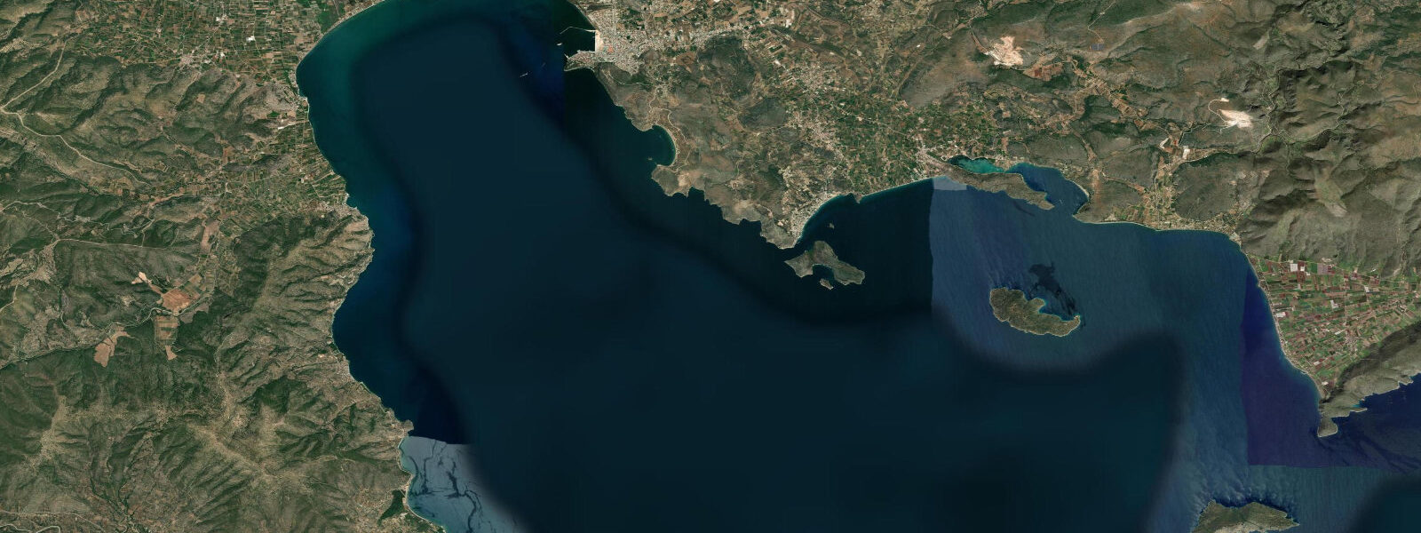
Gytheio sits at the head of the Laconian Gulf, roughly 40 km south of Sparta, on a low-lying waterfront backed by the Taygetos range rising to 2,407 m inland. It was the ancient sea port of Sparta — the city-state that had no need of walls was nonetheless dependent on this harbour for its access to the broader Mediterranean. The defining landmark is Cranae island (modern Marathonisi), a small rocky islet now connected to the town by a 200 m causeway. Homer's account of the Trojan War identifies this island as the place where Paris and Helen spent their first night after leaving Sparta, before sailing east toward Troy.
The tidal regime at Gytheio is microtidal: spring range approximately 0.2 m above Chart Datum in the inner Laconian Gulf, the smallest of the three southern Peloponnesian gulfs. The gulf is long, narrow, and oriented north-south, with the open sea at its southern end. Tidal exchange is restricted by the gulf's geometry, and the astronomical tide is barely distinguishable from the background sea-level noise driven by wind and atmospheric pressure. Meteorological seiches can produce oscillations of 0.15–0.25 m in the inner gulf, comparable to or exceeding the astronomical range.
The town quay runs along the waterfront below the main commercial street, lined with fishing boats and a few small tourist vessels. Fishing is the economic backbone of Gytheio — the trawl fleet works the Laconian Gulf floor at 80–200 m depth, targeting red mullet, scorpionfish, and cephalopods. Shore-based anglers fish from the causeway to Marathonisi and from the rocks at the base of the castle mound north of town; the microtidal range means they fish the same spots at all tidal states without needing to move. The productive times are dawn and dusk, when bream, sea bass, and salema move into the shallows to feed.
For swimmers, the beaches around Gytheio are varied: the town beach immediately south of the harbour is narrow pebble; Mavrovouni beach, 3 km south, is a long sandy stretch facing south across the gulf mouth. The tidal range of 0.2 m is too small to affect beach access or water-entry conditions at any of these locations. Water temperature in the Laconian Gulf peaks at 26–27 °C in August; the gulf's orientation means it receives direct summer sun from early morning to sunset.
Sea kayakers using Gytheio as a base can reach the Mani peninsula — the central prong of the three southern Peloponnesian peninsulas — by paddling south from town. The cape at the southern end of the mainland, Matapan (ancient Tainaron), is the southernmost point of mainland Europe and a significant waypoint in ancient navigation. The paddle from Gytheio to Matapan covers roughly 65 km one way; conditions on the exposed western face of the Mani require a settled weather window. The inner Laconian Gulf is protected and suitable for day paddles; the outer cape area is exposed to significant Mediterranean swell from the south.
The old town of Gytheio retains 19th-century neoclassical buildings along the waterfront, with plane trees and a low stone esplanade facing the boat quay. Marathonisi island, reached on foot across the causeway, has a small lighthouse and a perimeter path around the island taking 15 minutes to walk; the water around the island is clear enough for snorkelling from the rocks on the southern side. The microtidal range means snorkelling access from shore-level rocks is consistent across the tidal cycle.
All tide predictions for Gytheio come from the Open-Meteo Marine gridded model. Timing accuracy is ±45 minutes; height accuracy is ±0.3 m above Chart Datum.
Tide questions about Gytheio
Quick answers to the most common questions about tide times, range, and water access at Gytheio.
What is the tidal range at Gytheio and does it affect fishing from the quay?
Gytheio's spring tidal range is approximately 0.2 m — the smallest of the three southern Peloponnese gulfs, effectively negligible for practical purposes. Anglers fishing the quay, the Marathonisi causeway, or the rocky shore can stay in position across the full tidal cycle without meaningful water-level change. The dominant sea-level variables here are meteorological: sustained southerly wind pushes water into the inner gulf, raising levels 0.1–0.2 m above prediction. Fishing times are driven by dawn/dusk light and seasonal species movement, not tidal phase. All tide predictions carry ±45 minutes timing uncertainty and ±0.3 m height uncertainty.
What is the significance of Marathonisi island in Gytheio harbour?
Marathonisi (ancient Cranae) is a small rocky island connected to Gytheio's waterfront by a 200 m causeway. Homer's Iliad identifies it as the place where Paris and Helen of Sparta spent their first night together after fleeing Sparta for Troy — making it the mythological starting point of the Trojan War. A small lighthouse occupies the island's high point. The perimeter path takes 15 minutes to walk. Snorkelling from the southern rocks gives 5–8 m visibility onto rocky reef. The 0.2 m tidal range has no effect on island access: the causeway and landing rocks are usable at all tidal states.
What are the best beaches near Gytheio?
The town beach immediately south of the harbour is narrow pebble, suitable for a quick swim but not for a full day. Mavrovouni beach, 3 km south of town by road, is a long sandy stretch facing the open southern Laconian Gulf — the best family beach in the immediate area. Further south, the Mani peninsula coast has numerous small coves accessible only on foot or by boat. The 0.2 m tidal range means beach character does not change meaningfully between high and low water at any of these locations. Sea temperature peaks at 26–27 °C in August, with good swimming from June through October.
Is Gytheio a good base for sea kayaking toward Cape Matapan?
Gytheio is the most practical northern starting point for the Mani coast paddle. The inner Laconian Gulf south of Gytheio is sheltered and suitable for day paddling. Cape Matapan (Tainaron), the southernmost point of mainland Europe, lies 65 km south — a multi-day expedition on the exposed western Mani coast. The western face of the Mani receives Mediterranean swell from the south and southwest; this coast requires a settled 3–4 day weather window and open-water experience. The negligible tidal range means current is not a navigation factor; wind and swell dictate safe paddling windows. Tide predictions carry ±45 minutes uncertainty.
What fishing does the Laconian Gulf offer from Gytheio?
Shore anglers at Gytheio target bream, sea bass, and salema from the Marathonisi causeway and the rocky shore north of the harbour, working at dawn and dusk. Squid jigging is productive October through December from the town quay. The commercial trawl fleet works the deeper gulf floor (80–200 m) for red mullet, scorpionfish, and cephalopods. The microtidal range — 0.2 m springs — means there is no tidal window to track; species movement is driven by season, water temperature, and light level. The autumn cooling from September onward brings the most varied shore fishing. Tide predictions carry ±45 minutes uncertainty.
7-day tide table — Gytheio
Heights relative to MSL. Predictions: Open-Meteo Marine (MeteoFrance SMOC, 0.08° grid) — heights relative to MSL (not chart datum / LAT). Model-derived.
| Day | Type | Time | Height |
|---|---|---|---|
| Sat 27 Jun | High | 15:00 | -0.4m |
| Sun 28 Jun | — | ||
| Mon 29 Jun | — | ||
| Tue 30 Jun | Low | 23:50 | -0.5m |
| Wed 01 Jul | High | 17:00 | -0.3m |
| Thu 02 Jul | — | ||
| Fri 03 Jul | Low | 11:00 | -0.4m |