Vathy, Samos tide times
Vathy, Samos tide forecast — heights relative to MSL.
Today's tide times for Vathy, Samos
Tide times at Vathy, Samos on Sunday, 21 June 2026: first low tide at 03:00. Sunrise 05:50, sunset 20:37.
Tide chart for Vathy, Samos
24-hour cosine-interpolated curve around the present moment. Heights relative to MSL. Predictions: Predictions: Open-Meteo Marine (MeteoFrance SMOC, 0.08° grid).
Sun, moon and conditions on Sun 21 Jun
Snapshot at build time — refreshes daily. Sea state from Open-Meteo Marine.
Highs and lows next 7 days
Every predicted high and low for the next week, with the daily tidal coefficient (0–120; higher = bigger swing, > 95 means stronger currents).
Other spots nearby
The three closest curated TideTurtle locations to Vathy, Samos, measured by great-circle distance.
Today's solunar windows
Solunar tradition: major periods are the ≈3h windows around moon transit and opposition; minor are ≈2h around moonrise and moonset. Pair with the local tide stage and wind for the best read.
About tides at Vathy, Samos
A short guide to the coastline at Vathy, Samos — geography, sea state, and what the tide is actually doing under your feet.
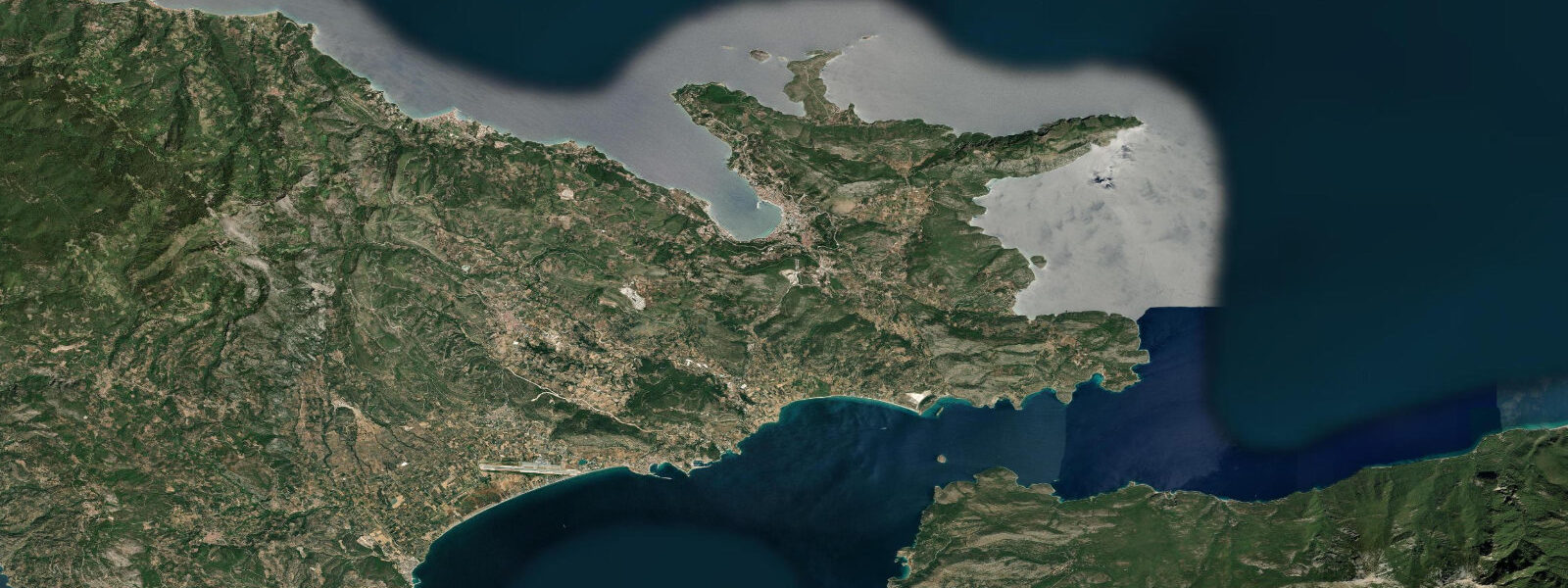
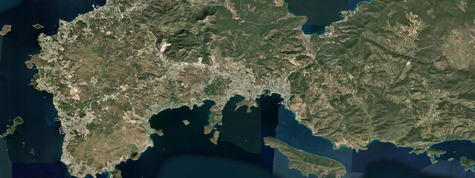
Vathy is the capital of Samos and occupies a deep bay on the island's northeast coast. The harbour is well-sheltered — surrounded on three sides by wooded hills — and faces west across the Vathy Bay rather than directly onto the Samos Strait. That strait, running between the southern coast of Samos and the Turkish mainland, is just 1.6 km wide at its narrowest: the narrowest international strait in the Aegean, and one of the most historically and geographically significant. Across it, the Greek and Turkish coasts are close enough to see individual buildings.
The tidal range at Vathy is approximately 0.2 m — the smallest in this region, sitting at the low end of Aegean microtidal conditions. In practical terms, the tide is rarely perceptible without measurement equipment. Sea-level variation here is dominated by barometric pressure and wind: a sustained southeasterly piling water against the shore can produce more water-level change in an afternoon than the fortnightly spring-neap cycle.
Samos carries deep historical weight. Pythagoreion, on the island's south coast, is a UNESCO World Heritage site: the ancient harbour city includes a massive mole (breakwater) built in the 6th century BC, still partly visible above water. The Eupalinos Tunnel, also at Pythagoreion and part of the same UNESCO listing, was completed around 530 BC under the orders of the tyrant Polycrates. It runs 1,036 metres through the limestone hill of Kastro — one of the earliest long tunnels in human history, engineered from both ends simultaneously to within centimetres of each other. Walking the tunnel is possible with a guide.
For divers and snorkellers, the rocky coastline around Vathy and toward the Samos Strait offers clear water and decent marine life; visibility typically 15–20 m in summer. Current in the Samos Strait itself can run at 1–2 knots, stronger in wind. The harbour at Vathy is active with ferries to Piraeus, the Dodecanese, and summer hydrofoil services. Official tide data: Hellenic Navy Hydrographic Service (HNHS). Open-Meteo Marine model uncertainty (±45 min, ±0.2–0.3 m) dwarfs the local tidal range; use these predictions for general orientation only.
Tide questions about Vathy, Samos
Quick answers to the most common questions about tide times, range, and water access at Vathy, Samos.
What is the tidal range at Vathy, Samos?
Mean tidal range at Vathy is approximately 0.2 m — among the smallest in the eastern Aegean and well within the microtidal range. Neap tides reduce this further to 0.1 m or less. Because the range is so small, the astronomical tide has essentially no practical effect on harbour access, beach width, or swimming conditions. Wind and atmospheric pressure changes dominate water-level variation. Official tide predictions come from the Hellenic Navy Hydrographic Service (HNHS).
Why is the Samos Strait historically significant?
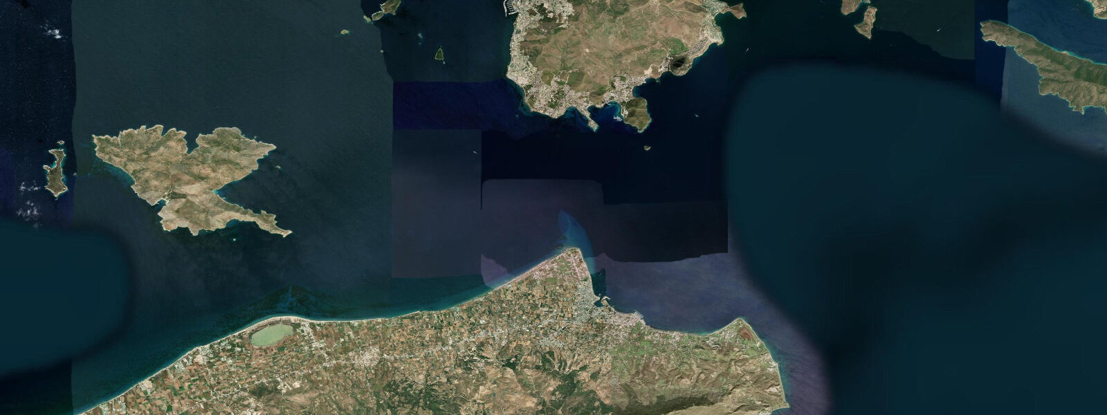
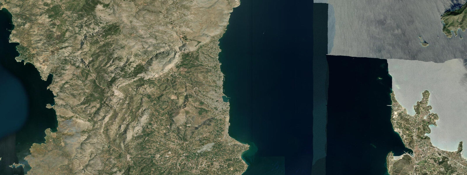
The Samos Strait between the south coast of Samos and the Turkish mainland measures just 1.6 km at its narrowest point — the narrowest international strait in the Aegean. Its narrowness has made it a key passage for trade, naval operations, and migration since antiquity. Samos itself was a major maritime power in the 6th century BC under the tyrant Polycrates; the island's harbour works at Pythagoreion, including the stone mole and the Eupalinos Tunnel (530 BC), are UNESCO-listed monuments to that era's engineering ambition.
What is the Eupalinos Tunnel and can I visit it?
The Eupalinos Tunnel is a 1,036-metre water conduit cut through the limestone hill above Pythagoreion around 530 BC. Engineers working from both ends met in the middle with a deviation of less than a metre — a feat that made it one of the earliest successful long tunnels in recorded history and a landmark in the history of civil engineering. It's part of the UNESCO World Heritage Site at Pythagoreion, about 25 km southwest of Vathy. Guided visits to the accessible section of the tunnel run during museum opening hours; check locally for current seasonal schedules.
Are there strong currents in the Samos Strait?
Yes, the Samos Strait can produce noticeable currents, particularly in the narrows. With a width of just 1.6 km, tidal and wind-driven flow is concentrated; current speeds of 1–2 knots have been observed, with higher values during strong southeasterly or northeasterly winds. The strait is also an active ferry route between Vathy and Kuşadası (Turkey) — commercial ferries transit regardless of conditions. Any small-craft crossing should be planned for calm mornings and with awareness of ferry schedules.
Can I rely on these tide predictions for navigating the Samos Strait?
These predictions are for general orientation only and are not navigation data. Open-Meteo Marine model output carries ±45 min timing uncertainty and ±0.2–0.3 m height uncertainty — in both cases comparable to or exceeding the entire tidal range at this location. For navigation through the Samos Strait, consult official HNHS tide tables and current charts, obtain notices to mariners for the Turkish side of the strait from Turkish authorities, and verify ferry schedules before transiting.
7-day tide table — Vathy, Samos
Heights relative to MSL. Predictions: Open-Meteo Marine (MeteoFrance SMOC, 0.08° grid) — heights relative to MSL (not chart datum / LAT). Model-derived.
| Day | Type | Time | Height |
|---|---|---|---|
| Sun 21 Jun | Low | 03:00 | -0.6m |
| Mon 22 Jun | — | ||
| Tue 23 Jun | — | ||
| Wed 24 Jun | — | ||
| Thu 25 Jun | High | 10:00 | -0.4m |
| Fri 26 Jun | — | ||
| Sat 27 Jun | Low | 19:00 | -0.5m |