Chios Town tide times
Chios Town tide forecast — heights relative to MSL.
Today's tide times for Chios Town
Tide times at Chios Town on Sunday, 21 June 2026: first low tide at 03:00. Sunrise 05:51, sunset 20:42.
Tide chart for Chios Town
24-hour cosine-interpolated curve around the present moment. Heights relative to MSL. Predictions: Predictions: Open-Meteo Marine (MeteoFrance SMOC, 0.08° grid).
Sun, moon and conditions on Sun 21 Jun
Snapshot at build time — refreshes daily. Sea state from Open-Meteo Marine.
Highs and lows next 7 days
Every predicted high and low for the next week, with the daily tidal coefficient (0–120; higher = bigger swing, > 95 means stronger currents).
Other spots nearby
The three closest curated TideTurtle locations to Chios Town, measured by great-circle distance.
Today's solunar windows
Solunar tradition: major periods are the ≈3h windows around moon transit and opposition; minor are ≈2h around moonrise and moonset. Pair with the local tide stage and wind for the best read.
About tides at Chios Town
A short guide to the coastline at Chios Town — geography, sea state, and what the tide is actually doing under your feet.
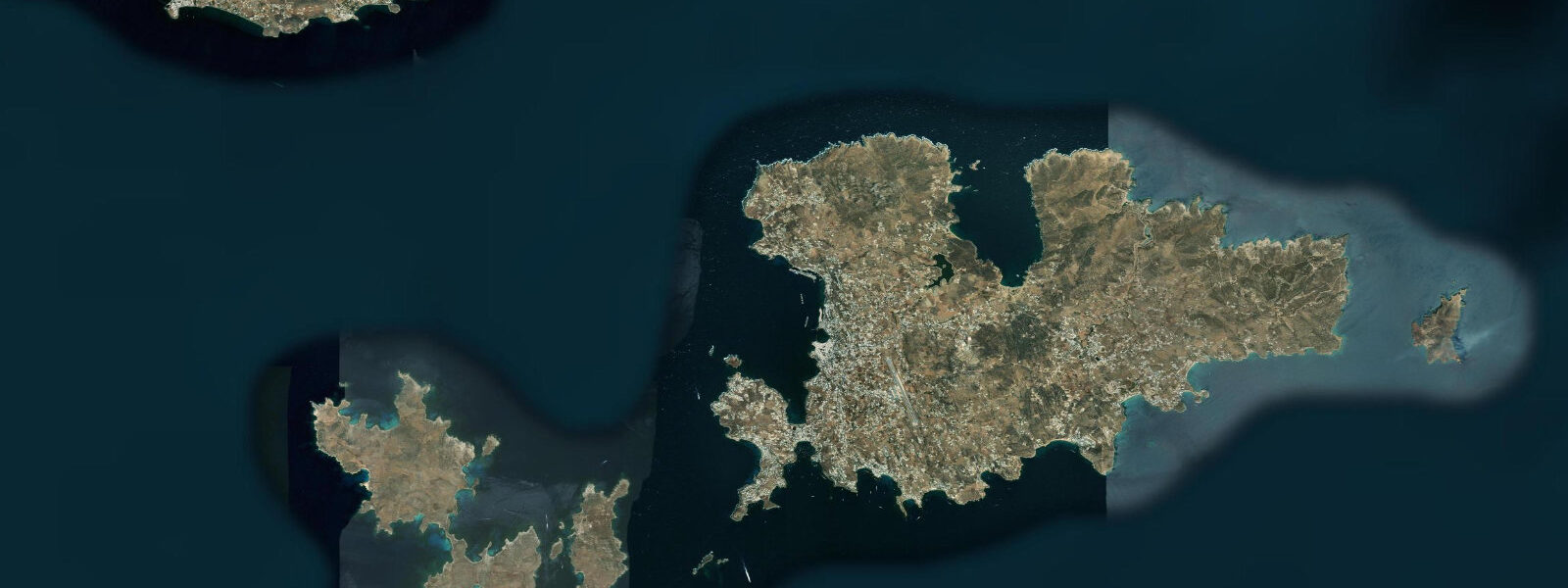
Chios Town (Χίος) sits on the island's eastern coast, facing the Chios Strait — roughly 8 km wide at this point, separating the island from the Turkish port of Çeşme. The town is built around a natural harbour that has anchored maritime trade since antiquity; above the modern waterfront rises the Byzantine and Genoese kastro, its walls still largely intact, enclosing the oldest inhabited quarter of the town.
The tidal range at Chios Town runs approximately 0.25 m mean — standard microtidal Aegean. As throughout this sea, wind-driven water level variation and atmospheric pressure surges routinely exceed the tidal signal. The harbour entrance faces east toward the strait, making it moderately exposed to the summer meltemi when that northerly wind kicks the sea into the Chios Strait; the inner basin behind the breakwater remains workable in most meltemi conditions.
Chios is famous island-wide for its mastic trees — Pistacia lentiscus var. Chia — which grow in the island's southern villages (the Mastichochoria) and produce the resin that has been harvested commercially since at least the Byzantine era. The scent of mastic is embedded in local cooking: liqueur, chewing gum, ice cream, bread. The island economy still turns partly on this single, geographically unique product.
For divers, the eastern coast around Chios Town offers walls and wrecks accessible in calm conditions; the strait current can run at 1 knot in tidal transitions and stronger under meltemi. Visibility typically runs 15–25 m in summer. The ferry crossing to Çeşme, Turkey — 45 minutes — operates multiple times daily in summer; passenger and vehicle ferries transit the strait regularly.
Swimming beaches within reach of the town include Kontari and Karfas south of the centre, both pebble-sand mixes, cleaner water than the harbour itself. Tidal state is largely irrelevant to beach access given the 0.25 m range. Official tide data for Greek waters: Hellenic Navy Hydrographic Service (HNHS). Open-Meteo Marine model uncertainty (±45 min, ±0.2–0.3 m) here exceeds the mean tidal range; treat predictions as indicative.
Tide questions about Chios Town
Quick answers to the most common questions about tide times, range, and water access at Chios Town.
What is the tidal range at Chios Town?
Mean tidal range at Chios Town is approximately 0.25 m — typical microtidal Aegean. The Hellenic Navy Hydrographic Service (HNHS) publishes official tide tables for Chios harbour. Given the small range, local weather effects — wind-driven surge, barometric pressure changes — frequently dominate over the astronomical tide. A 10 hPa drop in pressure, for instance, raises sea level roughly 10 cm, which is already 40% of the mean tidal range here.
Is there a current in the Chios Strait worth knowing about?
The Chios Strait is approximately 8 km wide between Chios Town and the Turkish coast. Tidal currents are modest at around 0.5–1.0 knot in normal conditions, but wind-forced flow through the strait — especially under strong meltemi from the north — can exceed 1 knot and can be sustained for hours. Kayakers and paddleboarders should plan crossings for light-wind mornings and allow for drift. Regular car and passenger ferries transit the strait to Çeşme, Turkey; maintain awareness of vessel traffic.
What makes Chios unique for coastal visitors?
Chios produces the world's only commercial mastic resin — harvested from Pistacia lentiscus var. Chia trees in the southern villages, a cultivation practice protected by EU PDO status. The Genoese kastro above the harbour is one of the best-preserved medieval fortifications in the Aegean. The Chios Strait proximity to Turkey (8 km) makes the eastern coast unusually dynamic for a Greek island — ferry traffic, fishing fleets, and occasional cargo vessels create a busy maritime scene even by Aegean standards.
Which beaches near Chios Town are best for swimming?
Karfas beach, about 7 km south of the town centre, is one of the better sand-and-pebble beaches on the east coast — organised, with clear water, and sheltered enough from meltemi by its slight southern orientation. Kontari is closer in, quieter, and smaller. Tidal variation is negligible (0.25 m range), so beach width is dictated by long-term wave action rather than daily tidal state. Water temperature peaks around 26 °C in August. Morning swims before the meltemi builds give the flattest water.
Are these tide predictions suitable for navigation in Chios Strait?
No — these predictions are for general information only and are not a substitute for official navigation data. Tide data is sourced from Open-Meteo Marine models with uncertainty of ±45 minutes on timing and ±0.2–0.3 m on height, which can equal or exceed the total tidal range at this location. For navigation in the Chios Strait, consult official HNHS tide tables, obtain current charts, and check notices to mariners for up-to-date information on shipping traffic, dredging, and hazards.
7-day tide table — Chios Town
Heights relative to MSL. Predictions: Open-Meteo Marine (MeteoFrance SMOC, 0.08° grid) — heights relative to MSL (not chart datum / LAT). Model-derived.
| Day | Type | Time | Height |
|---|---|---|---|
| Sun 21 Jun | Low | 03:00 | -0.6m |
| Mon 22 Jun | — | ||
| Tue 23 Jun | — | ||
| Wed 24 Jun | — | ||
| Thu 25 Jun | — | ||
| Fri 26 Jun | — | ||
| Sat 27 Jun | High | 14:00 | -0.4m |