Mykonos tide times
Mykonos tide forecast — heights relative to MSL.
Tide chart for Mykonos
24-hour cosine-interpolated curve around the present moment. Heights relative to MSL. Predictions: Predictions: Open-Meteo Marine (MeteoFrance SMOC, 0.08° grid).
Sun, moon and conditions on Sat 27 Jun
Snapshot at build time — refreshes daily. Sea state from Open-Meteo Marine.
Highs and lows next 7 days
Every predicted high and low for the next week, with the daily tidal coefficient (0–120; higher = bigger swing, > 95 means stronger currents).
Other spots nearby
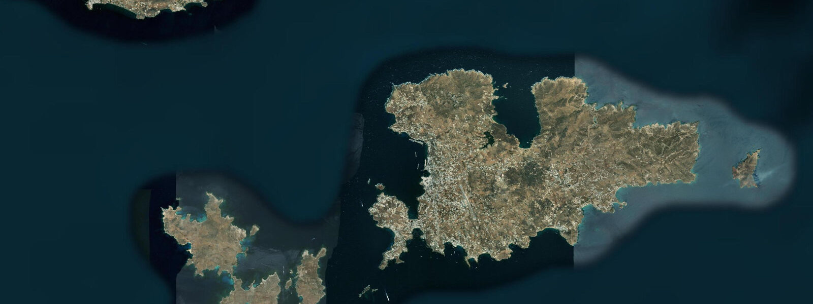
The three closest curated TideTurtle locations to Mykonos, measured by great-circle distance.
Today's solunar windows
Solunar tradition: major periods are the ≈3h windows around moon transit and opposition; minor are ≈2h around moonrise and moonset. Pair with the local tide stage and wind for the best read.
About tides at Mykonos
A short guide to the coastline at Mykonos — geography, sea state, and what the tide is actually doing under your feet.
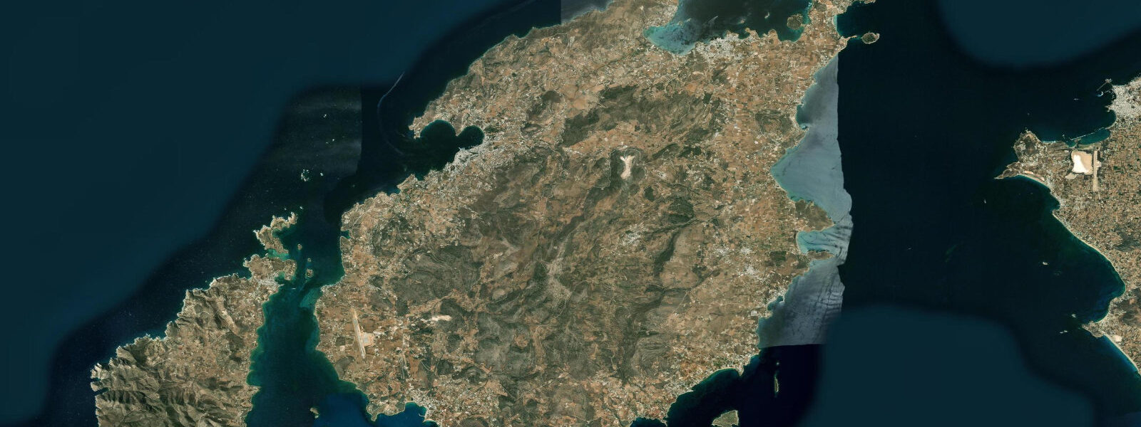
Mykonos sits at the northern end of the Cyclades, 10 km east of the sacred island of Delos in the middle of the Aegean Sea. The island is 85 km² of granite and gneiss rising from water that is, for practical coastal purposes, essentially non-tidal. Spring range across the Aegean is 0.2–0.3 m — a change in sea level that is barely detectable at the waterline relative to the wave action and wind-driven surge that actually govern conditions on any given day.
The Meltemi northerly is the real tidal calendar of Mykonos. This strong, dry katabatic wind blows from the Anatolian high-pressure system across the Aegean from late June through August, sustained at 20–35 knots on established days, occasionally gusting to 45. During a strong Meltemi, surface water is pushed south and water levels in the northern Cyclades drop 0.1–0.2 m below the Meltemi-calm baseline. The exposed northern and western coasts of Mykonos see 1.5–2.5 m short, steep chop that makes any beach on these aspects uncomfortable and some ferry routes impassable. The famous party beaches — Super Paradise, Paradise — are on the south coast and are at least partially sheltered from the prevailing Meltemi direction. Mykonos Town (Chora) is on the west coast and sits in the lee of the Armenistis headland during south-to-northwest winds; the protected anchorage in the New Port is the standard vessel staging area when the Meltemi is up.
Mykonos Town itself — the collection of whitewashed cubic houses, narrow alleyways, and working fishing harbour known as Little Venice — is built at sea level on the west coast. The Little Venice quarter, where the island's windmills stand on the hill above, has a row of bar and restaurant buildings whose stone foundations are lapped directly by the Aegean. In strong Meltemi conditions, the waves wrap around the headland and break against the Little Venice seawall, sending spray into the narrow waterfront passage. The fishing caiques moored at the old harbour below the windmills come and go on the early morning and early evening, largely independent of tidal state — there is simply no meaningful tide to plan around.
The ferry and hydrofoil connections from Mykonos — to Piraeus (Athens), Santorini, Paros, Naxos, and the eastern Cyclades — are the operational context in which sea level matters most. When the Meltemi is above approximately 7 on the Beaufort scale (around 30–35 knots), some ferry routes from Mykonos are suspended or rerouted via the more sheltered Delos channel to the west. The New Port, built in the 1980s on the north side of the island, replaced the Old Port as the main ferry terminal precisely because the New Port's orientation provides better protection from the prevailing Meltemi northerly.
For underwater photographers and recreational divers, the Mykonos archipelago offers Aegean visibility of 20–30 m in calm conditions, with water temperatures of 23–25°C in summer at the surface. The non-tidal environment means dive planning is purely about weather and current — the seasonal Meltemi, not the tide, drives the subsurface current patterns that carry nutrients and plankton through the inter-island passages. The Aegean's relative nutrient poverty means the water is clear but fish biomass is lower than in more tidal Atlantic environments. The resident marine life at Mykonos includes octopus, moray eel, and various bream species on the rocky sublittoral.
The island's most photographed sunrise position is from the west coast beach at Ornos or from the approaching ferry deck from Paros in the early morning light — the whitewashed town against the Aegean at golden hour, with the windmills catching the light above. This composition is entirely independent of tidal state; the non-tidal Aegean means the waterline in the foreground does not shift.
All tide predictions for Mykonos come from the Open-Meteo Marine gridded model. Timing accuracy is ±45 minutes; height accuracy is ±0.3 m above Chart Datum.
Tide questions about Mykonos
Quick answers to the most common questions about tide times, range, and water access at Mykonos.
Is there a significant tidal range at Mykonos?
Mykonos has a spring tidal range of approximately 0.2–0.3 m above Chart Datum — for practical purposes, non-tidal. The gravitational tide is real but small enough that wind-driven water level changes from the Meltemi northerly (which can lower north Cyclades levels by 0.1–0.2 m during sustained July–August northerlies) are comparable in magnitude to the entire spring tidal range. Coastal planning at Mykonos is about wind direction and Beaufort scale, not the tide table. Open-Meteo tide predictions carry ±45 minutes timing uncertainty and ±0.3 m height uncertainty — in this environment, the ±0.3 m height uncertainty is larger than the spring tidal range itself.
What is the Meltemi, and how does it affect Mykonos ferries and beaches?
The Meltemi is a dry, strong northerly wind that blows across the Aegean from the Anatolian high-pressure system from late June through August, typically at 20–35 knots sustained on established days. On the northern and western coasts of Mykonos, the Meltemi produces 1.5–2.5 m short, steep chop that makes these beaches uncomfortable and some ferry routes from the island temporarily suspended. Ferries above approximately Beaufort 7 (30–35 knots) on certain routes are rerouted or cancelled; check the ferry operator's real-time status rather than a published schedule during Meltemi season. The south coast beaches (Paradise, Super Paradise) are the most sheltered from the northerly direction.
What is Little Venice in Mykonos Town, and is it affected by rough seas?
Little Venice is a row of historic fishing and merchant houses built directly on the rocky waterfront in the northwest corner of Mykonos Town (Chora), now occupied by cafes and bars with balconies overhanging the sea. In strong Meltemi conditions, when swell wraps around the western headland of the island, waves break against the Little Venice seawall and spray the waterfront passage. The bars directly on the water are forced to close or restrict access in these conditions. The windmills on the Kato Myli ridge immediately above Little Venice are the island's most-photographed landmark; the evening light falls on them from the west as the Meltemi typically drops at sunset.
What are the best diving spots around Mykonos, and what conditions should divers expect?
The Mykonos archipelago offers visibility of 20–30 m in calm conditions and surface water temperatures of 23–25°C in summer. Dive sites on the southwestern coast — the Ftelia and Panormos reef sections, accessible from the south coast dive operators — offer the most sheltered conditions during Meltemi season. The Delos channel between Mykonos and Delos island has moderate subsurface current driven by the Meltemi wind-forced circulation; dive the channel passages on days when the Meltemi is absent or below 15 knots. There is no tidal current to plan around. The Aegean's low nutrient levels mean clear water but modest fish biomass; octopus, moray eel, bream, and sea bass are the characteristic species.
When is the best time to visit Mykonos to avoid the Meltemi?
The Meltemi is most consistent and strongest from mid-July through August. June has a lower Meltemi frequency and is generally the best month for calm-sea swimming, sailing, and diving around Mykonos; the water is slightly cooler (20–22°C) but the conditions are more predictable. September sees a declining Meltemi frequency with water still warm (23–24°C) from the summer accumulation. The shoulder months of late May and October have the fewest wind disruptions and the lowest tourist density. Winter visits (November–March) are possible — the island does not close, accommodation is a fraction of the summer price, and the waterfront is atmospheric in the low light — but ferry reliability is reduced in winter Aegean storms.
5-day tide table — Mykonos
Heights relative to MSL. Predictions: Open-Meteo Marine (MeteoFrance SMOC, 0.08° grid) — heights relative to MSL (not chart datum / LAT). Model-derived.
| Day | Type | Time | Height |
|---|---|---|---|
| Sat 27 Jun | — | ||
| Sun 28 Jun | High | 14:00 | -0.5m |
| Low | 22:00 | -0.5m | |
| Mon 29 Jun | — | ||
| Tue 30 Jun | High | 05:00 | -0.4m |
| Wed 01 Jul | Low | 23:00 | -0.5m |