Bodrum, Muğla tide times
Bodrum, Muğla tide forecast — heights relative to MSL.
Tide chart for Bodrum, Muğla
24-hour cosine-interpolated curve around the present moment. Heights relative to MSL. Predictions: Predictions: Open-Meteo Marine (MeteoFrance SMOC, 0.08° grid).
Sun, moon and conditions on Sun 26 Jul
Snapshot at build time — refreshes daily. Sea state from Open-Meteo Marine.
Highs and lows next 7 days
Every predicted high and low for the next week, with the daily tidal coefficient (0–120; higher = bigger swing, > 95 means stronger currents).
Other spots nearby
The three closest curated TideTurtle locations to Bodrum, Muğla, measured by great-circle distance.

Today's solunar windows
Solunar tradition: major periods are the ≈3h windows around moon transit and opposition; minor are ≈2h around moonrise and moonset. Pair with the local tide stage and wind for the best read.
About tides at Bodrum, Muğla
A short guide to the coastline at Bodrum, Muğla — geography, sea state, and what the tide is actually doing under your feet.
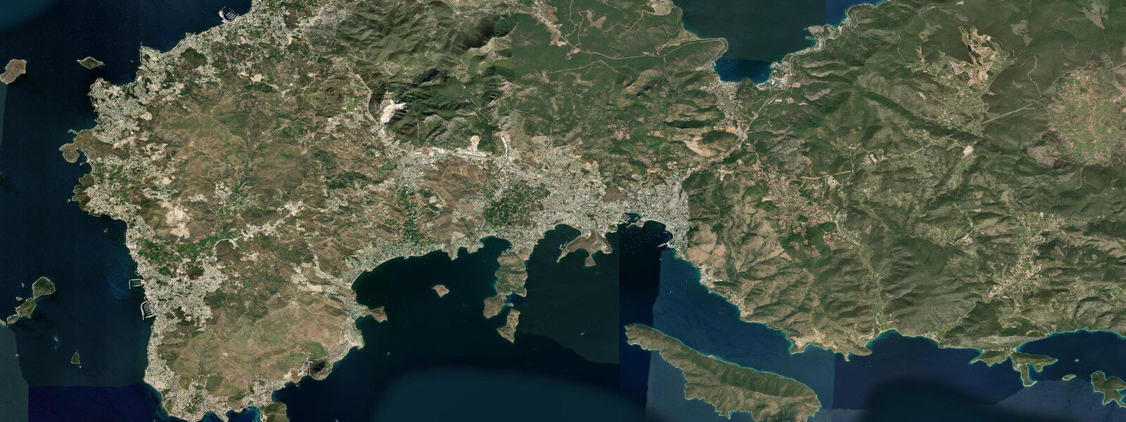
Bodrum sits on the south-western Aegean coast of Turkey across a narrow strait from the Greek island of Kos, with the working harbour wrapped around the Castle of Saint Peter on its limestone headland and the white-walled town climbing the slopes behind. The site is the ancient Halicarnassus where Herodotus was born in the fifth century BCE and where the Mausoleum at Halicarnassus, one of the Seven Wonders of the Ancient World, stood until the medieval Knights Hospitaller dismantled it for the castle stone. 4 metres and neaps dropping near flat.
The astronomical signal is genuinely tiny because the Mediterranean connects to the Atlantic only through the narrow Strait of Gibraltar and the Aegean is a partially enclosed sub-basin of an already weak tidal system. What matters more on a day-to-day basis is meteorological tide. The meltemi north wind that builds across the Aegean in the summer months funnels down between the Greek islands and the Turkish coast, dropping water level on lee shores and raising it on windward shores by 20 to 40 centimetres on sustained events.
The local Aegean micro-tide combined with the meltemi makes the working sailing calendar rather than the lunar phase the primary planning input. The defining cultural feature is the gulet sailing tradition. The two-masted wooden gulets that the Bodrum boatyards have been building for centuries still launch from the Içmeler boatyards a kilometre east of the central harbour, and the multi-day Blue Cruise itineraries (Mavi Yolculuk) along the Datça peninsula, the Lycian coast as far east as Antalya, and the Greek Dodecanese run from the Bodrum harbour through the entire summer season.
Turgutreis and Yalıkavak on the western tip of the peninsula run charter and superyacht operations; Gümüşlük on the same tip preserves the older fishing-village atmosphere with the half-submerged ruins of ancient Myndos visible underwater off the harbour. Snorkelling at Aquarium Bay, the working ferry to Kos and Datça, the local octopus (ahtapot) season, and the all-night meyhane scene at Bar Street all read the wider weather pattern more than the tide. The Turkish Naval Forces Office of Navigation, Hydrography and Oceanography (Seyir, Hidrografi ve Oşinografi Dairesi Başkanlığı) publishes the authoritative tide tables; Open-Meteo Marine drives the gridded predictions on this page.
Tide questions about Bodrum, Muğla
Quick answers to the most common questions about tide times, range, and water access at Bodrum, Muğla.
When is the next high tide at Bodrum?
The hero block shows the next high tide at the Bodrum harbour gauge in local Turkish time (TRT, UTC+3 year-round, no DST). The 7-day table covers all daily highs and lows. Aegean tides at Bodrum are small enough that the daily extrema timing can drift several hours when the meltemi wind dominates the astronomical signal.
What's the typical tide range at Bodrum?
Mean range at the Bodrum harbour gauge is about 0.2 metres — a tiny Aegean signal. Spring tides push close to 0.4 metres and neaps drop near flat. The astronomical signal is small because the Mediterranean connects to the Atlantic only through Gibraltar and the Aegean is a partially enclosed sub-basin. The meltemi summer wind matters more than the lunar phase for day-to-day water-level variation.
Where do these tide predictions come from?
Open-Meteo Marine, a gridded global ocean model. Useful for planning gulet sailing-charter departures from the central harbour or Yalıkavak, the Aquarium Bay snorkel-trip timing, the Kos and Datça ferry crossings, and the Gümüşlük underwater-Myndos free-dive sessions. For authoritative Turkish tide data, the Office of Navigation, Hydrography and Oceanography publishes the official tide tables.
What's the gulet boatbuilding tradition at Bodrum?
The two-masted wooden gulets are a Bodrum tradition built in the Içmeler boatyards a kilometre east of the central harbour. The boatyards have been building working caïques for centuries, and the modern gulet design — broad beam, low freeboard, twin masts, motor-sailer rig for the light-air Aegean — evolved from sponge-diving and cargo boats of the early twentieth century. The Mavi Yolculuk (Blue Cruise) itineraries that take charter parties along the Datça peninsula, the Lycian coast east to Antalya, and the Greek Dodecanese run from Bodrum harbour through the full summer season.
Is this safe to use for navigation?
No. For piloting in or out of the Bodrum harbour, transiting the Kos channel, or any Aegean charter route use the Turkish Office of Navigation, Hydrography and Oceanography authoritative tide tables, the Bodrum harbour-master pilotage guidance, and the Turkish State Meteorological Service meltemi forecasts. The astronomical tide is small enough that wind events dominate water-level variation in the Aegean.
7-day tide table — Bodrum, Muğla
Heights relative to MSL. Predictions: Open-Meteo Marine (MeteoFrance SMOC, 0.08° grid) — heights relative to MSL (not chart datum / LAT). Model-derived.
| Day | Type | Time | Height |
|---|---|---|---|
| Sun 26 Jul | �— | ||
| Mon 27 Jul | High | 10:10 | -0.3m |
| Tue 28 Jul | Low | 04:00 | -0.5m |
| High | 11:00 | -0.3m | |
| Low | 18:00 | -0.5m | |
| Wed 29 Jul | — | ||
| Thu 30 Jul | High | 00:00 | -0.4m |
| Fri 31 Jul | Low | 19:10 | -0.4m |
| Sat 01 Aug | High | 13:00 | -0.3m |