Heraklion, Crete tide times
Heraklion, Crete tide forecast — heights relative to MSL.
Tide chart for Heraklion, Crete
24-hour cosine-interpolated curve around the present moment. Heights relative to MSL. Predictions: Predictions: Open-Meteo Marine (MeteoFrance SMOC, 0.08° grid).
Sun, moon and conditions on Sun 26 Jul
Snapshot at build time — refreshes daily. Sea state from Open-Meteo Marine.
Highs and lows next 7 days
Every predicted high and low for the next week, with the daily tidal coefficient (0–120; higher = bigger swing, > 95 means stronger currents).
Other spots nearby
The three closest curated TideTurtle locations to Heraklion, Crete, measured by great-circle distance.
Today's solunar windows
Solunar tradition: major periods are the ≈3h windows around moon transit and opposition; minor are ≈2h around moonrise and moonset. Pair with the local tide stage and wind for the best read.
About tides at Heraklion, Crete
A short guide to the coastline at Heraklion, Crete — geography, sea state, and what the tide is actually doing under your feet.
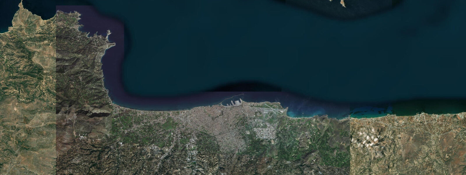
Heraklion sits on the central north coast of Crete, the largest of the Greek islands and the southern boundary of the Aegean Sea. The city wraps the working harbour at the Venetian Koules fortress and runs inland and east through the modern commercial centre to the Knossos archaeological site five kilometres up the slopes of the Iouktas mountain. 25 metres and neaps dropping near flat.
The astronomical signal is genuinely tiny because the Mediterranean connects to the Atlantic only through the narrow Strait of Gibraltar and the Eastern Mediterranean is the far end of an already weak tidal system. What matters more on a day-to-day basis is meteorological tide. The meltemi etesian wind from the north-east builds across the Aegean from June through September, funnelling down between Crete and the Cyclades and dropping water level on the windward northern coast by 20 to 40 centimetres on sustained events; the same wind builds choppy 2 to 3 metre seas in the Cretan Sea that the Heraklion-Athens overnight ferry rides through.
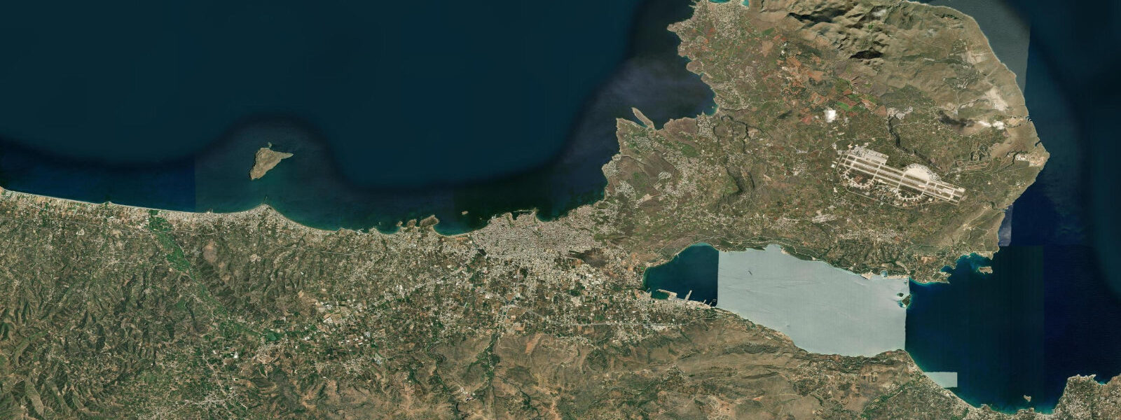
The Hellenic Trench drops to over 4,000 metres just south of Crete in the Libyan Sea, one of the deepest sounds in the Mediterranean, and the abyssal-edge geometry concentrates seismic and tsunami activity along the southern coast. The defining cultural feature is the Minoan civilisation. The Knossos palace complex (active from about 2000 BCE to 1450 BCE) sits on the slopes above the working harbour and the entire Minoan thalassocracy of trade between Crete, the Cyclades, the Levant, and Egypt depended on the harbour at the foot of the palace.
The Knossos site that Sir Arthur Evans excavated and partially reconstructed from 1900 onwards remains one of the most-visited Bronze Age archaeological sites in the world. The 1450 BCE collapse of the Minoan palaces has been associated by some researchers with the Thera (Santorini) caldera eruption tsunami that struck Crete's northern coast within hours of the rupture, with run-up heights estimated at 15 metres or more along the exposed shore — the connection remains debated but the tsunami physics fits the geography. The working ferry calendar to Athens (Piraeus), Mykonos, and Santorini runs from the Heraklion New Harbour, the diving sites along the Aghios Nikolaos coast east of Heraklion read the table for the inner-shelf access at low water, the Samaria Gorge mouth at Aghia Roumeli on the southern coast, and the Falasarna sand at the western tip of the island all read the wider weather pattern more than the tide table.
The Hellenic Navy Hydrographic Service is the authoritative Greek tide source; Open-Meteo Marine drives the gridded predictions on this page.
Tide questions about Heraklion, Crete
Quick answers to the most common questions about tide times, range, and water access at Heraklion, Crete.
When is the next high tide at Heraklion?
The hero block shows the next high tide at the Heraklion harbour gauge in local Greek time (EET/EEST with DST). The 7-day table covers all daily highs and lows. The Eastern Mediterranean micro-tide pattern produces two small highs and two small lows each day, but the astronomical signal is tiny enough that the meltemi summer wind dominates day-to-day water-level variation.
What's the typical tide range at Heraklion?
Mean range at the Heraklion harbour gauge is about 0.15 metres — one of the smallest open-sea tide signals in the Mediterranean. Spring tides reach close to 0.25 metres and neaps drop near flat. The meltemi etesian wind from the north-east in summer can drop water level by 20 to 40 centimetres on the windward northern coast on sustained events, dominating the working day-to-day signal.
Where do these tide predictions come from?
Open-Meteo Marine, a gridded global ocean model. Useful for planning the Heraklion-Athens overnight ferry timing during meltemi events, the diving sites along the Aghios Nikolaos coast, the Samaria Gorge mouth at Aghia Roumeli on the southern coast, and the working surf calendar at Falasarna at the western tip. For authoritative Greek tide data, the Hellenic Navy Hydrographic Service publishes the official tide tables.
What's the Knossos and Minoan connection to the working harbour?
The Knossos palace complex (active from about 2000 BCE to 1450 BCE) sits on the slopes above the working harbour and the entire Minoan thalassocracy of trade between Crete, the Cyclades, the Levant, and Egypt depended on the harbour at the foot of the palace. The Knossos site that Sir Arthur Evans excavated and partially reconstructed from 1900 onwards remains one of the most-visited Bronze Age archaeological sites in the world. The 1450 BCE collapse of the Minoan palaces has been associated by some researchers with the Thera (Santorini) caldera eruption tsunami that struck Crete's northern coast within hours of the rupture, with run-up heights estimated at 15 metres or more — the connection remains debated.
Is this safe to use for navigation?
No. For piloting in or out of the Heraklion New Harbour, transiting the Cretan Sea to Piraeus, or any southern-coast Libyan-Sea approach use the Hellenic Navy Hydrographic Service authoritative tide tables, the Hellenic Coast Guard pilotage guidance, and the National Observatory of Athens marine-weather forecasts during meltemi summer events. The Hellenic Trench abyssal geometry south of the island concentrates seismic and tsunami hazard.
5-day tide table — Heraklion, Crete
Heights relative to MSL. Predictions: Open-Meteo Marine (MeteoFrance SMOC, 0.08° grid) — heights relative to MSL (not chart datum / LAT). Model-derived.
| Day | Type | Time | Height |
|---|---|---|---|
| Sun 26 Jul | — | ||
| Mon 27 Jul | Low | 04:00 | -0.5m |
| Tue 28 Jul | High | 02:00 | -0.5m |
| Wed 29 Jul | Low | 19:00 | -0.5m |
| Thu 30 Jul | High | 12:00 | -0.4m |