Santorini tide times
Santorini tide forecast — heights relative to MSL.
Today's tide times for Santorini
Tide times at Santorini on Saturday, 27 June 2026: first low tide at 03:00, first high tide at 10:00, second low tide at 18:00. Sunrise 06:02, sunset 20:40.
Tide chart for Santorini
24-hour cosine-interpolated curve around the present moment. Heights relative to MSL. Predictions: Predictions: Open-Meteo Marine (MeteoFrance SMOC, 0.08° grid).
Sun, moon and conditions on Sat 27 Jun
Snapshot at build time — refreshes daily. Sea state from Open-Meteo Marine.
Highs and lows next 7 days
Every predicted high and low for the next week, with the daily tidal coefficient (0–120; higher = bigger swing, > 95 means stronger currents).
Other spots nearby
The three closest curated TideTurtle locations to Santorini, measured by great-circle distance.
Today's solunar windows
Solunar tradition: major periods are the ≈3h windows around moon transit and opposition; minor are ≈2h around moonrise and moonset. Pair with the local tide stage and wind for the best read.
About tides at Santorini
A short guide to the coastline at Santorini — geography, sea state, and what the tide is actually doing under your feet.
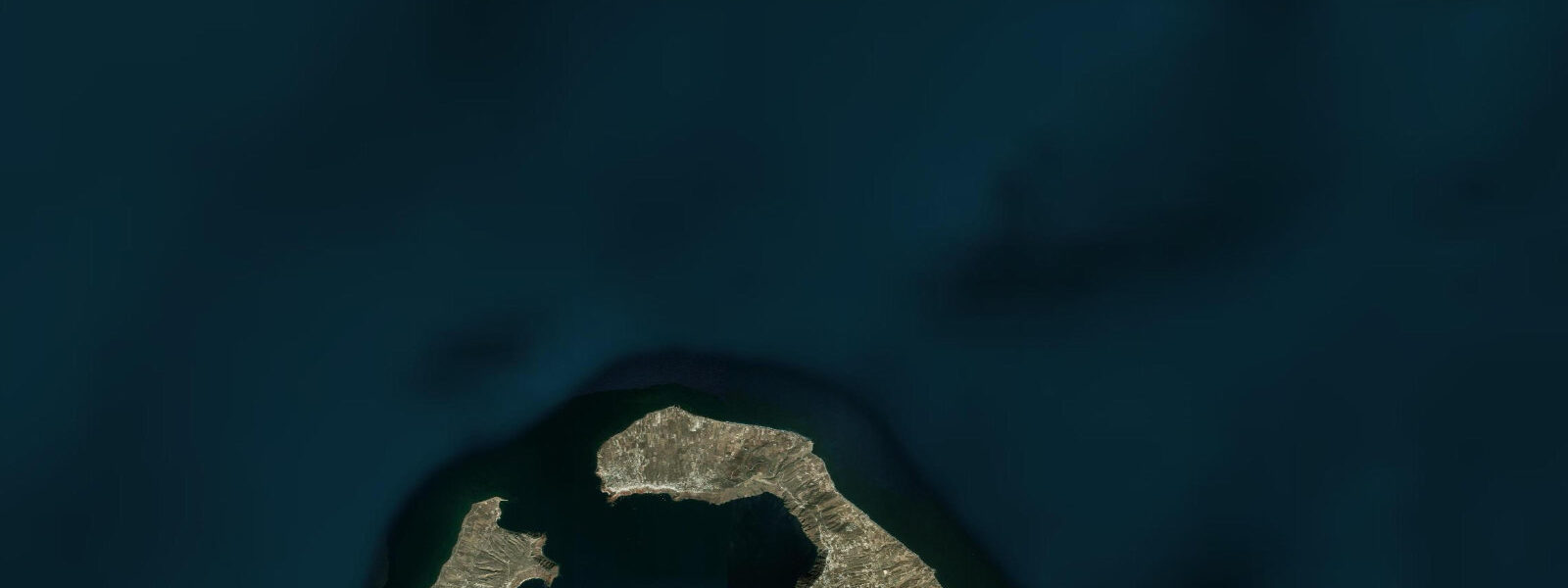
Santorini is the largest remnant of a volcanic caldera that partially collapsed around 1600 BCE in one of the largest volcanic events in human history — an eruption that may have contributed to the decline of the Minoan civilisation on Crete, 110 km to the south. What remains is a crescent-shaped island with 300 m sheer caldera cliffs on the inner western rim, a black and red volcanic shoreline at water level, and the whitewashed villages of Fira and Oia perched along the rim edge above. The enclosed caldera sea inside the crescent — the Santorini caldera — is 400 m deep in places, a drowned volcanic crater filled with Aegean seawater.
The tidal regime at Santorini is Aegean-standard microtidal: spring range 0.2–0.3 m above Chart Datum. As throughout the Cyclades, wind-driven water level changes from the Meltemi northerly are comparable in magnitude to the entire tidal range. A sustained August Meltemi can lower Aegean levels around Santorini by 0.1–0.2 m. The caldera itself, being an enclosed body of water open only to the north between Thera and Thirasia islands, has slightly more sheltered conditions inside relative to the outer Aegean coasts — but the Meltemi still enters through the northern gap and the inner caldera anchorage can be rough in sustained northerlies above Beaufort 6.
Athinios port on the south coast, where the main car-and-passenger ferry docks, is the practical sea-level entry to the island. The ferry ramp at Athinios operates with a fixed geometry designed for the 0.2–0.3 m tidal range; in practice, the ramp alignment is adjusted for the Meltemi-driven water level variation which is the larger operational variable. The caldera-rim villages of Fira and Oia are 300 m above the sea; from Athinios, access is by bus or taxi up the switchback cliff road, by cable car from the old port at Skala Fira, or by the famous donkey path — 587 stone steps from sea level to Fira's edge. The old port at Skala Fira, now largely used by tender boats from anchored cruise ships, has floating pontoons that accommodate the minimal tidal variation.
The black sand beaches of the southeast coast — Perissa and Perivolos — are formed from consolidated volcanic ash and basalt. The dark sand absorbs solar radiation more efficiently than quartz sand, making it uncomfortably hot to walk on barefoot in the midday sun. The water off these beaches is clear and relatively calm because the southeast coast is in the lee of the main island body during the prevailing Meltemi northerly. The shallow-shelf approach to the beaches means the 0.2–0.3 m tidal change moves the waterline by only 20–30 m on the most gently shelving sections — the beach experience is essentially tide-independent.
The caldera-rim viewpoints at Oia and Fira are the most photographed sunsets in the Mediterranean. The photographic geometry is consistent: the caldera sea 300 m below, the active volcano islands of Nea Kameni and Palea Kameni in the caldera centre, and the descending sun behind Thirasia island to the west. The water level in the caldera is irrelevant to this composition — but sea state in the caldera matters for the small boats that run volcanic island tours. A Meltemi above Beaufort 5 or 6 makes the crossing from the old Fira port to the volcano islands rough enough that boat tours are suspended.
The volcanic island at the centre of the caldera, Nea Kameni, last erupted in 1950 and remains geothermally active — the sea immediately around the island is 30–35°C at the surface from submarine fumaroles, a sharp contrast to the ambient Aegean temperature of 23–24°C in summer. Swimming in the geothermal water around Nea Kameni is a standard activity on the volcanic island boat tour. There is no tidal influence on the geothermal gradient — the hot water is driven by volcanic heat rather than tidal mixing.
For underwater photographers, the caldera walls dropping vertically from the surface to 400 m depth are accessible as wall dives from Santorini's dive operators. The visibility in the caldera is typically 15–20 m, reduced relative to the outer Aegean by the higher biological productivity in the enclosed caldera water. The vertical wall faces on the south side of Nea Kameni are the most dramatic dive sites; the top of the wall is at 5–8 m depth, accessible to recreational divers.
All tide predictions for Santorini come from the Open-Meteo Marine gridded model. Timing accuracy is ±45 minutes; height accuracy is ±0.3 m above Chart Datum.
Tide questions about Santorini
Quick answers to the most common questions about tide times, range, and water access at Santorini.
Is there a meaningful tide at Santorini, and what affects sea level instead?
Santorini has a spring tidal range of 0.2–0.3 m — the Aegean is one of the least tidal seas in the world. The primary sea-level variable is the Meltemi northerly wind (June–August), which can lower north-Aegean levels 0.1–0.2 m during sustained northerlies and creates the rough chop on north-facing coasts. The enclosed caldera is slightly sheltered from the open Aegean but still rough in a strong Meltemi above Beaufort 6, which affects small-boat tours to the volcanic islands. For practical beach and boating purposes, the wind forecast is more important than the tide table. Open-Meteo tide predictions carry ±45 minutes timing uncertainty and ±0.3 m height uncertainty.
How do visitors get from Athinios port to the caldera-rim villages?
From Athinios port on the south coast, three options reach the rim villages 300 m above: bus (approximately 30 minutes, frequent service timed to ferry arrivals), taxi or rental car up the switchback cliff road, or transfer to a small boat to the old port at Skala Fira followed by cable car or the 587-step donkey path. The cable car runs 6 minutes and is the most direct option from the old port. The ferry terminal at Athinios operates with a fixed ramp adjusted for the 0.2–0.3 m tidal variation; the main operational variable for ferry docking is wind — a strong Meltemi can complicate the Athinios approach and occasionally forces ferry diversion.
Are the black sand beaches at Perissa and Perivolos suitable for families?
Perissa and Perivolos beaches on the southeast coast are black volcanic sand beaches with calm, clear water — the southeast coast is in the lee of the main island during the prevailing Meltemi northerly. The water is child-friendly in calm weather. The black sand gets extremely hot underfoot in midday sun (easily 50–60°C surface temperature at solar noon) — bring beach sandals or water shoes. The shallow shelf approach means the 0.2–0.3 m tidal change barely moves the waterline; the beach experience is tide-independent. Both beaches have extensive sun-lounger rental infrastructure and a full range of beach restaurants. Arrive before 09:00 in high season to secure a position.
Can visitors swim in the geothermal water around the volcanic islands in the caldera?
Swimming in the geothermal hot water around Nea Kameni island (the active volcanic island in the caldera centre) is a standard part of the volcanic island boat tour. The water immediately adjacent to the submarine fumaroles on the north shore of Nea Kameni reaches 30–35°C against the ambient Aegean temperature of 23–24°C in summer; the gradient is sharp enough to feel in a few swimming strokes. Boat tours from the old Fira port and from the caldera anchorage include a 20–30 minute swim stop at the hot springs. Tour operators suspend the service when the caldera is rough in a Meltemi above Beaufort 5 or 6.
What are the diving conditions in the Santorini caldera?
The caldera wall dives from Santorini drop vertically from 5–8 m depth at the top of the wall to beyond 400 m. Visibility is typically 15–20 m in the caldera — slightly reduced relative to the outer Aegean by higher biological productivity in the enclosed water. The south face of Nea Kameni is the most dramatic dive site for recreational divers; the top of the wall is accessible on an Open Water certification. There is no tidal current to plan around. The main dive hazard is boat traffic in the caldera anchorage; dive operators use surface marker buoys and flag signals required by Greek maritime regulations. Water temperature at 5–15 m depth runs 22–24°C in summer.
6-day tide table — Santorini
Heights relative to MSL. Predictions: Open-Meteo Marine (MeteoFrance SMOC, 0.08° grid) — heights relative to MSL (not chart datum / LAT). Model-derived.
| Day | Type | Time | Height |
|---|---|---|---|
| Sat 27 Jun | Low | 03:00 | -0.5m |
| High | 10:00 | -0.5m | |
| Low | 18:00 | -0.5m | |
| Sun 28 Jun | — | ||
| Mon 29 Jun | — | ||
| Tue 30 Jun | — | ||
| Wed 01 Jul | — | ||
| Thu 02 Jul | High | 13:00 | -0.4m |