Rethymno, Crete tide times
Rethymno, Crete tide forecast — heights relative to MSL.
Tide chart for Rethymno, Crete
24-hour cosine-interpolated curve around the present moment. Heights relative to MSL. Predictions: Predictions: Open-Meteo Marine (MeteoFrance SMOC, 0.08° grid).
Sun, moon and conditions on Fri 19 Jun
Snapshot at build time — refreshes daily. Sea state from Open-Meteo Marine.
Highs and lows next 7 days
Every predicted high and low for the next week, with the daily tidal coefficient (0–120; higher = bigger swing, > 95 means stronger currents).
Other spots nearby
The three closest curated TideTurtle locations to Rethymno, Crete, measured by great-circle distance.
Today's solunar windows
Solunar tradition: major periods are the ≈3h windows around moon transit and opposition; minor are ≈2h around moonrise and moonset. Pair with the local tide stage and wind for the best read.
About tides at Rethymno, Crete
A short guide to the coastline at Rethymno, Crete — geography, sea state, and what the tide is actually doing under your feet.
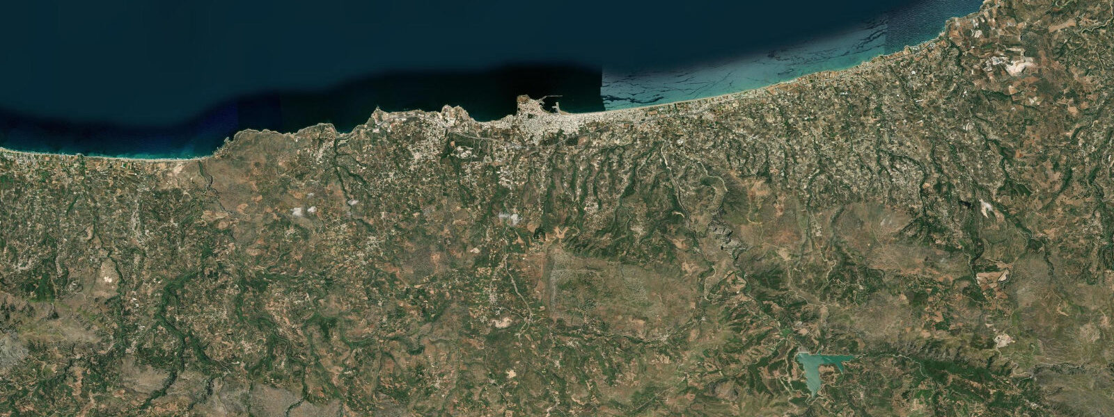
Rethymno sits midway along Crete's north coast between Heraklion (80 km east) and Chania (60 km west), with the White Mountains visible to the southwest and the open Mediterranean to the north. The city has a layered history — Minoan, Venetian, Ottoman — that is still physically readable in the street plan of the old town, the minarets converted from churches converted from mosques, and the Venetian harbour with its 16th-century lighthouse standing at the breakwater end. The Fortezza, the Venetian fortress completed in 1590 and positioned on the headland above the harbour, is the defining landmark visible from the water.
The tidal regime at Rethymno is the most restricted in this region — mean range 0.1 to 0.3 m, mixed with strong diurnal inequality. This is genuinely one of the smallest tidal variations measurable on the European coastline. The practical implication is that tide state has almost no relevance for boat operations, harbour access, or swimming. What moves sea level at Rethymno is overwhelmingly atmospheric and meteorological: barometric pressure changes, the meltemi wind, and the seiching behaviour of enclosed Mediterranean sub-basins.
The meltemi is the significant variable for summer visitors. This northerly wind system dominates the Aegean from June through August, typically establishing in the morning and building through the afternoon to 4–6 Beaufort, occasionally stronger. At Rethymno, the long beach east of the old town (Rethymno Beach) faces the open sea to the north and is fully exposed to meltemi swell. At peak meltemi, the beach is uncomfortable for swimming and the small harbour entrance can be rough for returning boats. Morning — before the meltemi builds — is consistently the calm window: sea state at 08:00 is usually flat; by 14:00 it is frequently choppy. Snorkellers and paddlers who want flat water plan their water time accordingly.
Rethymno Beach extends roughly 12 kilometres east of the old town, backed by a continuous line of beach hotels. The beach itself is a mix of sand and fine gravel, widening to 20–30 m at low water against the microtidal baseline. The width variation caused by tide is negligible — the 0.1–0.3 m range moves the waterline by a few metres at most. What actually determines usable beach width on any given day is the wave height driven by meltemi and swell direction.
The underwater rock gardens east of the Venetian lighthouse are the specific low-water snorkelling interest. The area is a shallow reef of flat-lying limestone pavement with sea grass, sea urchins, octopus, and wrasse. Visibility is best in calm conditions — morning, before the meltemi brings turbulence — and during the neap tide periods when any tidal stirring of sediment is minimal. There is no need for extensive equipment: mask and fins are sufficient, depth is 2–5 m, and the area is accessible from the beach rather than requiring a boat.
The Venetian harbour is a working small-craft harbour with a fish market, a row of tavernas on the inner quay, and excursion boats offering day trips west toward Chania and east toward the cave beaches of the south coast. The harbour is sheltered from northerly meltemi by the outer breakwater; in strong south winds (less common in summer) it can be exposed. The Venetian loggia in the old town — a few hundred metres south of the harbour — is one of the best-preserved Venetian civic buildings in Crete, now serving as an archaeological museum annex.
The Fortezza occupies the headland northwest of the old town, a 10-minute walk uphill from the harbour. The walls are largely intact and the interior is ruined but walkable; the view north over the Venetian harbour and east along the beach line is the reason to make the climb. The structure was built in response to Ottoman naval pressure and was designed by the Venetian military engineer Sforza Pallavicini. It fell to the Ottomans in 1646 — a siege that lasted 24 days — and its current state reflects both Venetian construction quality and four centuries of weathering since.
For anglers, the rocky headlands either side of the main beach provide accessible shore fishing with a reasonable chance of sea bream, mullet, and the occasional dentex on heavier gear. The microtidal range means that slack-water timing is not a significant factor here the way it is on Atlantic coasts — fishing is more driven by time of day, bait choice, and weather than by tidal phase.
Tide data for Rethymno, Crete comes from the Open-Meteo Marine API, a gridded model product. Timing accuracy is ±45 minutes, height accuracy ±0.3 m — usable for trip planning, not for navigation.
Tide questions about Rethymno, Crete
Quick answers to the most common questions about tide times, range, and water access at Rethymno, Crete.
What is the tidal range at Rethymno?
Rethymno has a mean tidal range of 0.1 to 0.3 m — among the smallest on the European coastline. The pattern is mixed with strong diurnal inequality. In practical terms the tide has no meaningful effect on beach width, harbour access, or swimming conditions. Sea level at Rethymno is far more influenced by the meltemi wind (northerly, summer) and atmospheric pressure than by astronomical tide. Tidal predictions here come from the Open-Meteo Marine gridded model; their accuracy (±45 minutes, ±0.3 m) is large relative to the actual tidal signal at this location.
What is the meltemi and how does it affect Rethymno Beach?
The meltemi is a northerly pressure-driven wind system that dominates the Aegean from June through August, typically building from morning to afternoon and reaching 4–6 Beaufort by mid-afternoon. Rethymno Beach faces north, directly into the meltemi fetch, so afternoon sea conditions can be choppy and uncomfortable for swimming. The reliable calm window is early morning — sea state at 07:00–09:00 is usually flat regardless of the afternoon forecast. Paddlers, snorkellers, and families with small children should plan water activities before noon. The old town harbour is sheltered from the north by the outer breakwater.
Where is the best snorkelling near Rethymno?
The shallow rock gardens east of the Venetian lighthouse are the most accessible snorkelling area — limestone pavement at 2–5 m depth with sea grass beds, sea urchins, octopus, and various wrasse species. Access is directly from the beach; no boat required. Best visibility is in calm conditions before the meltemi builds, ideally before 10:00. The area is walkable from the old town in 15 minutes. Further east along Rethymno Beach, the rocky groynes that interrupt the sand beach create smaller reef patches worth investigating. A mask and fins are sufficient; no specialist equipment needed.
How do I visit the Venetian Fortezza at Rethymno?
The Fortezza is a 10-minute walk uphill from the Venetian harbour, following the signed path through the old town. The site is open daily (hours vary seasonally; typically 08:00–20:00 in summer, 08:30–15:00 in winter). Admission is charged; the interior is largely open-air ruins with a domed mosque (converted from the cathedral), the original cisterns, and intact perimeter walls. The view from the north wall across the harbour and east along the 12-km beach line is the primary payoff. The Venetian loggia in the old town (now an archaeological museum) is worth combining on the same walk.
Is Rethymno Beach suitable for families with children?
Yes, with timing. The beach is wide, the seabed slopes gently, and there is no significant tidal current. The main variable is afternoon meltemi chop from June to August — the sea can be rough for small children by mid-afternoon. Morning sessions (before 11:00) are consistently calmer. The beach is serviced in the tourist sections with sunbed rental, showers, and nearby cafes. The old town end of the beach (closest to the lighthouse and harbour) is less developed and more local in character. Water temperature reaches 24–26°C in August, making extended swimming comfortable.
7-day tide table — Rethymno, Crete
Heights relative to MSL. Predictions: Open-Meteo Marine (MeteoFrance SMOC, 0.08° grid) — heights relative to MSL (not chart datum / LAT). Model-derived.
| Day | Type | Time | Height |
|---|---|---|---|
| Fri 19 Jun | — | ||
| Sat 20 Jun | Low | 23:00 | -0.6m |
| Sun 21 Jun | — | ||
| Mon 22 Jun | — | ||
| Tue 23 Jun | — | ||
| Wed 24 Jun | — | ||
| Thu 25 Jun | High | 10:00 | -0.5m |