Chania tide times
Chania tide forecast — heights relative to MSL.
Tide chart for Chania
24-hour cosine-interpolated curve around the present moment. Heights relative to MSL. Predictions: Predictions: Open-Meteo Marine (MeteoFrance SMOC, 0.08° grid).
Sun, moon and conditions on Fri 19 Jun
Snapshot at build time — refreshes daily. Sea state from Open-Meteo Marine.
Highs and lows next 7 days
Every predicted high and low for the next week, with the daily tidal coefficient (0–120; higher = bigger swing, > 95 means stronger currents).
Other spots nearby
The three closest curated TideTurtle locations to Chania, measured by great-circle distance.
Today's solunar windows
Solunar tradition: major periods are the ≈3h windows around moon transit and opposition; minor are ≈2h around moonrise and moonset. Pair with the local tide stage and wind for the best read.
About tides at Chania
A short guide to the coastline at Chania — geography, sea state, and what the tide is actually doing under your feet.
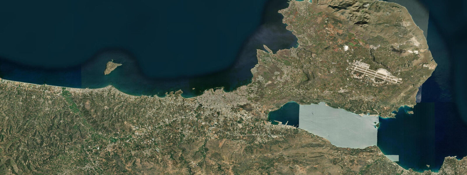
Chania is on the northwest coast of Crete, a city built around a Venetian harbour that is the most photographed in Greece after Santorini. The harbour is a crescent of 14th-century Venetian warehouses and walls, completed by an Egyptian lighthouse on the breakwater and the white dome of the Küçük Hasan Mosque (1645). The working waterfront is now entirely restaurants and tavernas; the actual port function has moved to Souda Bay, 8 km east. Tidal range on the Aegean and eastern Mediterranean is negligible: 0.1 to 0.3 metres.
The beaches west of Chania are the most praised in Crete. Stavros beach (made famous by the 1964 film Zorba the Greek), Balos lagoon (accessible by boat from Kissamos or by rough 4WD track), and the pink sand of Elafonisi (on the southwest cape of Crete) are all within 80 km and represent distinct beach types: enclosed bay, turquoise lagoon, and shallow barrier sandbar respectively. Balos's turquoise water in the enclosed lagoon is the classic image; Elafonisi's pink-tinged sand (from crushed pink coral) is the most unusual.
The Samaria Gorge, 40 km south of Chania, is a 16-km gorge descent from the Omalos plateau to the Libyan Sea at Agia Roumeli, accessible only by boat from the south. The gorge hike takes 5 to 7 hours downhill; the return is by boat to Chora Sfakion and bus back to Chania. The gorge is one of the longest in Europe and passes through the White Mountains (Lefka Ori) National Park. Season runs May through October when the water level in the gorge is low enough for safe passage.
Diving in the Chania region is centred on the reefs and wrecks off the northwest cape. The Gramvousa peninsula reefs have excellent visibility (20 to 25 m) and fish density. The German Dornier aircraft wreck in Almyrida Bay (15 m depth, 80 years of colonisation) is the most accessible wreck dive near Chania. Several dive centres operate from Chania harbour.
Predictions on this page come from Open-Meteo Marine, a gridded global ocean model. Accuracy is typically within plus or minus 45 minutes on timing and 0.2 to 0.3 metres on height — model-derived, not from a local gauge. For Greek coastal conditions, consult the Hellenic National Meteorological Service at emy.gr.
Tide questions about Chania
Quick answers to the most common questions about tide times, range, and water access at Chania.
What is the tidal range at Chania?
Negligible — the eastern Mediterranean at Chania has 0.1 to 0.3 metres of astronomical tidal range. Water level is wind-driven; the Meltemi north wind in July and August creates rough conditions on the north coast and can cancel boat trips to Balos and Gramvousa. Check weather forecasts before booking boat excursions in summer.
How do I get to Balos Lagoon from Chania?
Two options: boat from Kissamos harbour (45 minutes each way, daily excursions in summer — book at the port or through tour agencies in Chania); or drive the rough 9 km dirt track from Kaliviani (south of Kissamos) to the car park above the lagoon, then 20 minutes walk down to the beach. The boat option is easier and gives the best approach view of the lagoon from the sea. Balos is extremely crowded in July and August — morning arrival (before 10 a.m.) is significantly quieter.
Is the Samaria Gorge walk manageable for average fitness?
The gorge walk is 16 km downhill, with about 1200 m of descent. It takes 5 to 7 hours for average walkers. The first 4 km (the steepest descent from Omalos) and the famous Iron Gates section (where the gorge narrows to 3 metres wide) are the physically demanding sections. Sturdy footwear with ankle support is essential — the riverbed is rocky. Water is available at several springs in the gorge. The return by boat and bus adds another 2 to 3 hours; plan for a full day.
Where is the best snorkelling near Chania?
The clearest water near Chania is at Balos lagoon (exceptional visibility in the enclosed lagoon) and off the Gramvousa peninsula's rocky western coast. Closer to the city, the rocky coast east of Chania (Platanias, Agia Marina area) has adequate snorkelling at 3 to 8 metres depth. The Dornier aircraft wreck in Almyrida Bay (30 minutes east of Chania) is at 15 metres and accessible to confident snorkellers on calm days. Hire fins and mask from dive centres in Chania town.
What is the Venetian harbour famous for?
Chania's Venetian harbour is the best-preserved in Crete, dating from 1320–1356 when Venice controlled the island. The crescent-shaped inner harbour is enclosed by Venetian arsenals (boat warehouses, now restored), the sea walls, and the 16th-century Firka fortress. The Egyptian Lighthouse at the breakwater tip was built in the early 19th century; it's still operational and open for climbing. The harbour is surrounded entirely by restaurants and bars; it's primarily a social and tourist space rather than a working harbour.
0-day tide table — Chania
Heights relative to MSL. Predictions: Open-Meteo Marine (MeteoFrance SMOC, 0.08° grid) — heights relative to MSL (not chart datum / LAT). Model-derived.
| Day | Type | Time | Height |
|---|