Piraeus (Athens) tide times
Piraeus (Athens) tide forecast — heights relative to MSL.
Today's tide times for Piraeus (Athens)
Tide times at Piraeus (Athens) on Sunday, 26 July 2026: first high tide at 14:00. Sunrise 06:22, sunset 20:40.
Tide chart for Piraeus (Athens)
24-hour cosine-interpolated curve around the present moment. Heights relative to MSL. Predictions: Predictions: Open-Meteo Marine (MeteoFrance SMOC, 0.08° grid).
Sun, moon and conditions on Sun 26 Jul
Snapshot at build time — refreshes daily. Sea state from Open-Meteo Marine.
Highs and lows next 7 days
Every predicted high and low for the next week, with the daily tidal coefficient (0–120; higher = bigger swing, > 95 means stronger currents).
Other spots nearby
The three closest curated TideTurtle locations to Piraeus (Athens), measured by great-circle distance.
Today's solunar windows
Solunar tradition: major periods are the ≈3h windows around moon transit and opposition; minor are ≈2h around moonrise and moonset. Pair with the local tide stage and wind for the best read.
About tides at Piraeus (Athens)
A short guide to the coastline at Piraeus (Athens) — geography, sea state, and what the tide is actually doing under your feet.
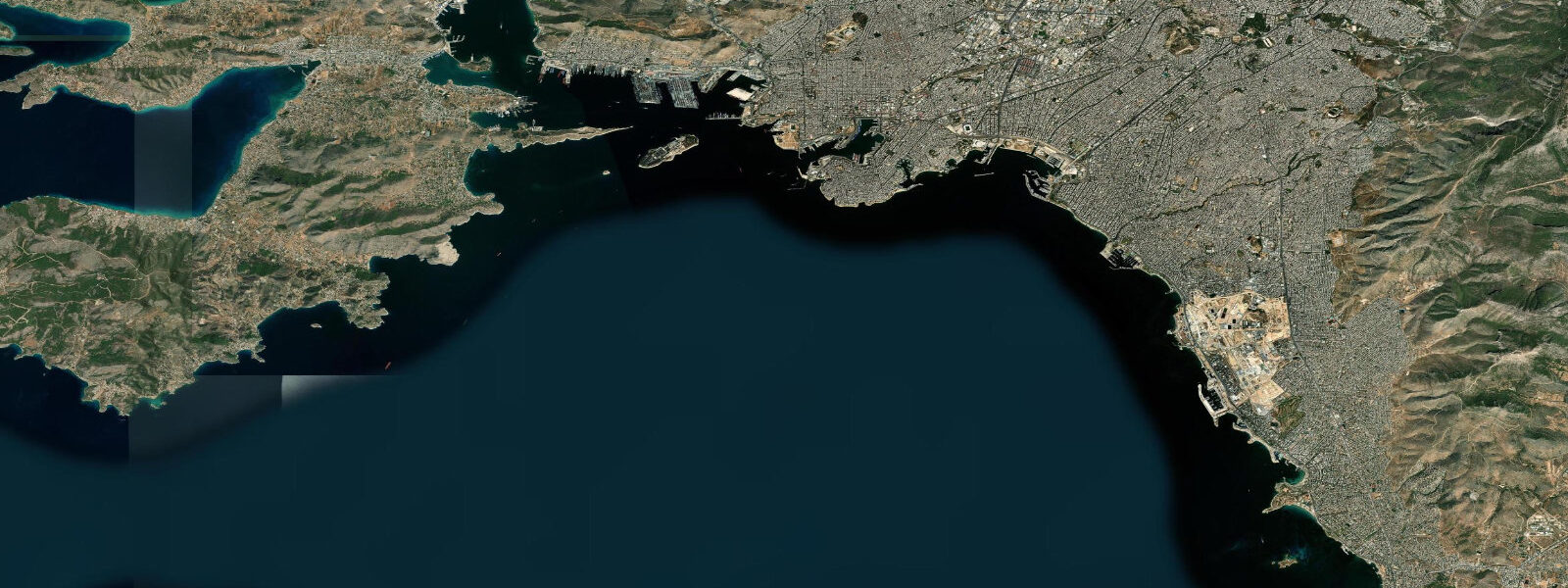
Piraeus is the port of Athens — the busiest passenger harbour in the Mediterranean and the gateway to the Saronic Gulf island chain that runs south-east toward the Cyclades. 25. Most days the lunar tide barely shows in the gauge above the noise from pressure changes and wind setup.
The eastern Mediterranean is even more enclosed than the western basin — the Atlantic tide cannot propagate through Gibraltar in any meaningful form, and the further east you go from there, the smaller the residual signal becomes. What dominates day-to-day water-level variation in Piraeus is meteorological: passing weather systems shift sea level by a few centimetres on a calm day, and the meltemi etesian wind that blows hard from the north all summer produces a sustained setup against the southern coasts when the wind sets in. Sirocco events in winter can lift water levels 30 cm or more for hours.
Saronic Gulf island ferries, sailing-yacht charters out of Marina Zea and Marina Alimos, and the boat-traffic surge inside the main harbour basin run more or less independently of the lunar tide. Local solunar fishing tradition for octopus, squid, and dorada survives even where the height swing itself is tiny. Open-Meteo Marine drives the gridded predictions on this page; the Hellenic Navy Hydrographic Service is the authoritative Greek tide source.
Tide questions about Piraeus (Athens)
Quick answers to the most common questions about tide times, range, and water access at Piraeus (Athens).
When is the next high tide at Piraeus?
The hero block shows the next high tide at Piraeus in local Athens time (EET in winter, EEST in summer). The 7-day table covers all daily extremes — though for the Aegean the swing is small enough that the difference between consecutive extremes can be smaller than the gridded model resolution on quiet days. Use the table as an indicator, not a precision schedule.
Why is the tide so small in Greece?
The eastern Mediterranean is one of the most enclosed seas on the planet — the Atlantic tide cannot propagate through the Strait of Gibraltar in any meaningful form, and the basin is too small to host its own significant astronomical tide. Mean range at Piraeus is about 0.15 metres; the Cyclades, Crete, and the Dodecanese all run similarly small signals. Day-to-day water level is dominated by air pressure and wind setup rather than the lunar cycle.
What is the meltemi and does it affect the tide?
The meltemi is the etesian wind — a strong, dry northerly that blows across the Aegean for much of the summer, peaking in July and August. Sustained meltemi wind builds a wind-setup signal against the southern coasts of the Aegean islands and the southern coast of Attica that can lift apparent water level by 10 to 20 cm. It does not affect the astronomical tide directly, but it dwarfs the small lunar signal during typical summer conditions.
Where do these tide predictions come from?
Open-Meteo Marine, a gridded global ocean model. For the small eastern Mediterranean signal the gridded resolution sometimes shows more numerical noise than astronomical swing — useful as an indicator, not a precision tool. For authoritative Greek tide data, the Hellenic Navy Hydrographic Service operates the official gauge network and publishes tide tables for the Aegean and Ionian coasts.
Is this safe to use for navigation?
No. For piloting in or out of Piraeus, the Saronic Gulf, or the Aegean island chain use the Hellenic Navy Hydrographic Service's authoritative tide tables, chart products, and the latest Hellenic Coast Guard notices. The meltemi wind and Aegean meteotsunamis under unusual pressure-wave conditions both override normal tidal predictions and demand wider weather attention rather than tide-table planning.
8-day tide table — Piraeus (Athens)
Heights relative to MSL. Predictions: Open-Meteo Marine (MeteoFrance SMOC, 0.08° grid) — heights relative to MSL (not chart datum / LAT). Model-derived.
| Day | Type | Time | Height |
|---|---|---|---|
| Sun 26 Jul | High | 14:00 | -0.4m |
| Mon 27 Jul | — | ||
| Tue 28 Jul | — | ||
| Wed 29 Jul | Low | 23:00 | -0.5m |
| Thu 30 Jul | — | ||
| Fri 31 Jul | — | ||
| Sat 01 Aug | — | ||
| Sun 02 Aug | High | 02:00 | -0.4m |