Lavrio, Attica tide times
Lavrio, Attica tide forecast — heights relative to MSL.
Today's tide times for Lavrio, Attica
Tide times at Lavrio, Attica on Friday, 19 June 2026: first high tide at 07:00, first low tide at 12:00. Sunrise 06:01, sunset 20:48.
Tide chart for Lavrio, Attica
24-hour cosine-interpolated curve around the present moment. Heights relative to MSL. Predictions: Predictions: Open-Meteo Marine (MeteoFrance SMOC, 0.08° grid).
Sun, moon and conditions on Fri 19 Jun
Snapshot at build time — refreshes daily. Sea state from Open-Meteo Marine.
Highs and lows next 7 days
Every predicted high and low for the next week, with the daily tidal coefficient (0–120; higher = bigger swing, > 95 means stronger currents).
Other spots nearby
The three closest curated TideTurtle locations to Lavrio, Attica, measured by great-circle distance.
Today's solunar windows
Solunar tradition: major periods are the ≈3h windows around moon transit and opposition; minor are ≈2h around moonrise and moonset. Pair with the local tide stage and wind for the best read.
About tides at Lavrio, Attica
A short guide to the coastline at Lavrio, Attica — geography, sea state, and what the tide is actually doing under your feet.
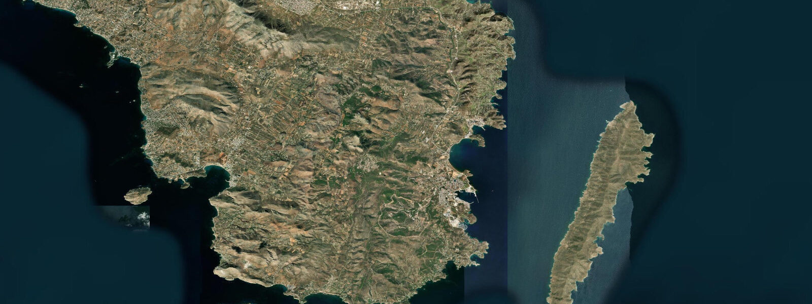
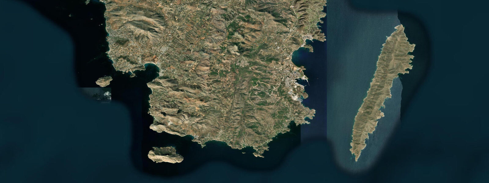
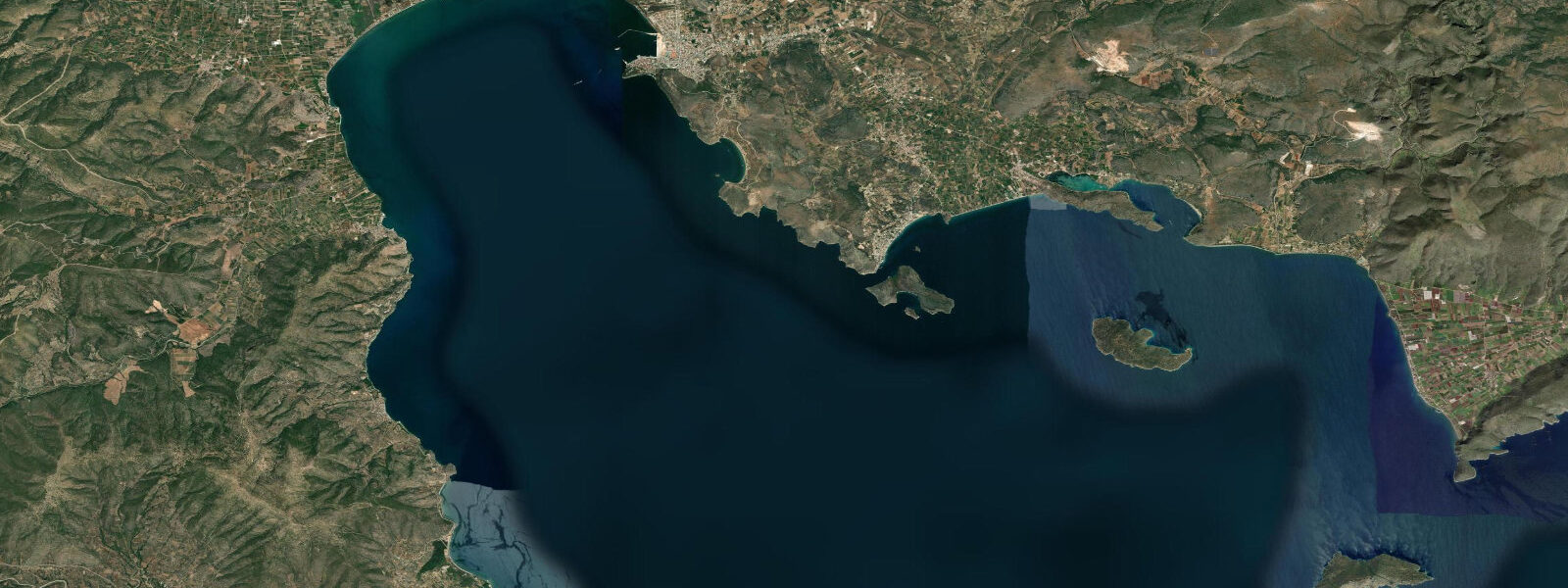
Lavrio occupies the southeastern tip of the Attica peninsula, 60 kilometres from Athens at the end of a road that passes the silver-mining ruins that financed classical Athenian power. The town is functional in the way that ferry ports tend to be: fuel depots, a quay for island boats, a harbour taverna strip, and behind that the layered history of a place that has been economically significant — and then not — several times over. The physical setting is striking: the rocky Attica coast drops into the Aegean here with Cape Sounion visible 10 kilometres north, the Temple of Poseidon on its cliff edge identifiable even at that distance. Makronisi island sits 4 kilometres offshore, low and flat, historically a detention site and now uninhabited.
The tidal regime at Lavrio is Mediterranean microtidal — mean range 0.2 to 0.4 m, mixed semidiurnal with strong diurnal inequality. In practical terms this means that on some days there is effectively one discernible high and one discernible low water; on others, the two daily cycles are of sufficiently different amplitude that one barely registers. The sea level change is small enough that it has almost no effect on boat operations or beach access. What does affect sea level here — more significantly than astronomical tide on any given day — is atmospheric pressure, wind-driven setup, and the oscillation patterns (seiches) that affect enclosed Mediterranean basins. A strong northerly meltemi pushing water into a confined bay can produce apparent sea level changes comparable to the tidal range.
The silver mines at Lavrion are the reason this town existed. From roughly 483 BCE — when Themistocles persuaded Athens to invest a windfall silver discovery in building 200 triremes rather than distributing the silver to citizens — to the Roman period and into the 19th century when French and Greek companies re-opened the mines, Lavrio's silver and lead shaped Mediterranean history. The triremes built from that decision defeated the Persian fleet at Salamis in 480 BCE. The ancient slag heaps from the processing operations are still visible on the coastal hillsides above the town; some were re-processed in the 19th century for residual metal content, and the landscape around the Lavrion Archaeological Museum shows the characteristic grey-brown mounds of ancient metallurgical waste.
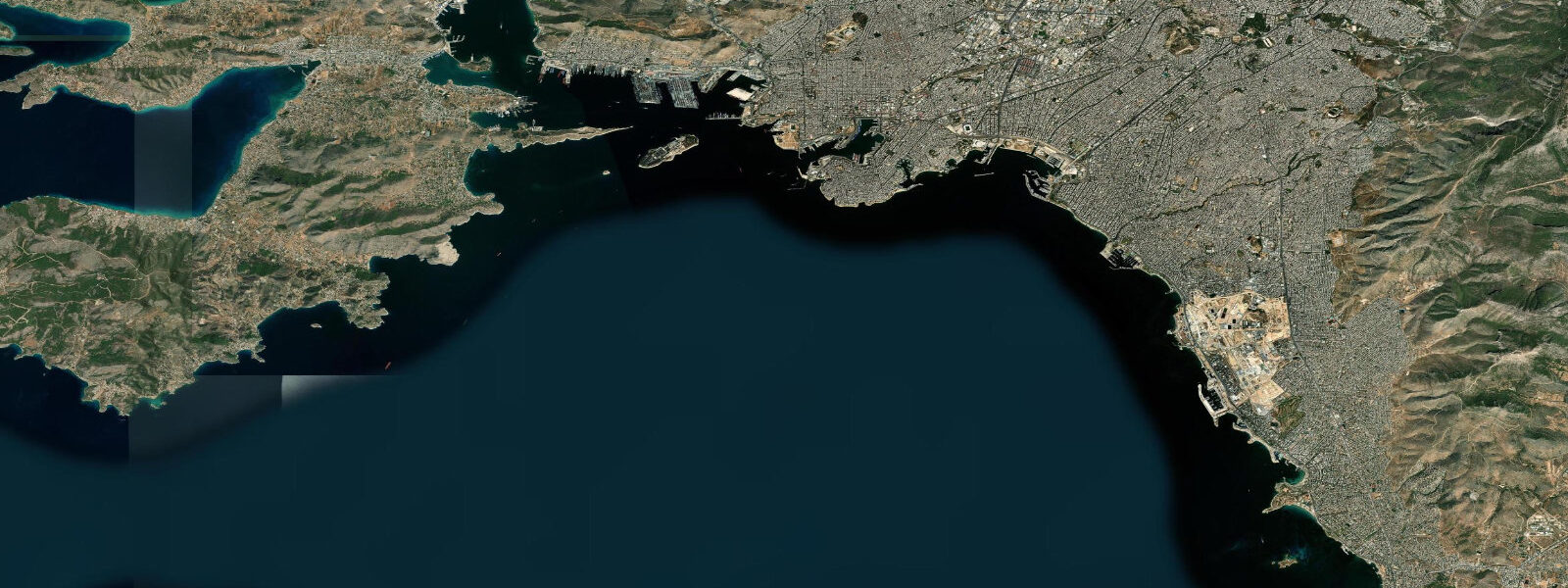
The ferry connection is the current economic function of the port. Regular services run from Lavrio to Kea (approximately 1 hour) and Kythnos (approximately 2.5 hours), with less frequent connections to Syros and other Cyclades islands. The route to Kea is a genuine alternative to the Piraeus-to-Cyclades ferry for anyone based in the southern Athens suburbs or driving from the Attica coast — the port is accessible, parking is available, and the crossing is shorter. The ferry quay is in the north harbour; the fuel depot and industrial marine operations adjoin it.
A small beach is accessible south of the ferry infrastructure, past the industrial quay area. It is unremarkable by Greek standards but functional for a swim before or after a ferry. The water clarity in this part of the Attic coast varies — the harbour approaches are influenced by port activity, but 500 metres south the sea clears significantly. Underwater visibility improves with offshore conditions and calm weather.
Diving with archaeological interest is theoretically possible in the area — ancient lead ingots and amphorae have been documented on the seabed around the cape — but access requires permits from the Greek Ministry of Culture's Ephorate of Underwater Antiquities. The permit process is real and enforced; free diving over documented sites without authorisation is treated as looting under Greek law. Permitted operations are conducted by registered archaeological teams rather than commercial dive operators.
Cape Sounion 10 kilometres north is the logical companion destination. The Temple of Poseidon (440 BCE) is well preserved and the cliff-edge position above the Aegean is one of the canonical views of the Greek coast. The site is best in late afternoon when the tour buses have cleared and the light is low. The site closes at sunset; the drive down the Attic coast from Athens takes 50 minutes on the coastal road.
Tide data for Lavrio, Attica comes from the Open-Meteo Marine API, a gridded model product. Timing accuracy is ±45 minutes, height accuracy ±0.3 m — usable for trip planning, not for navigation.
Tide questions about Lavrio, Attica
Quick answers to the most common questions about tide times, range, and water access at Lavrio, Attica.
What is the tidal range at Lavrio?
Lavrio has a Mediterranean microtidal range of 0.2 to 0.4 m — one of the smallest tidal ranges in Europe. The pattern is mixed semidiurnal with strong diurnal inequality, meaning the height difference between the day's two high waters can be as significant as the difference between high and low water. In practical terms, the tide has almost no effect on beach access or boat operations. Sea level changes driven by meltemi wind setup or atmospheric pressure can equal or exceed the tidal signal on some days.
How do I get a ferry from Lavrio to the Cyclades?
Regular car-ferry services run from Lavrio to Kea (approximately 1 hour crossing, multiple times daily in summer) and Kythnos (approximately 2.5 hours). Less frequent services reach Syros and other Cyclades islands. The port is accessible by car from Athens (about 60 km, 50–60 minutes via the coastal road) and has parking near the quay. The Lavrio route is a genuine alternative to Piraeus for travellers heading to Kea or northern Kythnos — shorter crossing, smaller port, easier embarkation. Schedules vary seasonally; check Ferryhopper or e-tickets.gr for current timetables.
What is the ancient mining history of Lavrio?
The silver mines at Lavrion (ancient Laurion) were the economic engine of classical Athens. The silver seam discovered around 483 BCE funded construction of 200 triremes, the fleet that defeated the Persian navy at Salamis in 480 BCE. Mining continued through the Hellenistic and Roman periods. The ancient slag heaps — grey-brown mounds of metallurgical waste — are still visible on the hillsides above the modern town. The Lavrion Archaeological Museum documents the mining technology and social history of the ancient operations, including the use of slave labour in underground galleries.
Can I see the Temple of Poseidon from Lavrio?
Yes — on a clear day the Temple of Poseidon at Cape Sounion is visible 10 kilometres north of Lavrio from the harbour area. The temple (440 BCE) sits on a cliff 60 metres above the sea and its pale marble columns are distinctive even at distance. The drive from Lavrio to the cape takes under 15 minutes on the coastal road. The site is open daily until sunset and is best visited in late afternoon when light quality is high and visitor numbers drop. Admission is charged; free for EU citizens under 25.
Is there a beach at Lavrio?
A small beach is accessible south of the main ferry quay and industrial harbour area, roughly a 10-minute walk from the port entrance. It is compact and functional — suitable for a swim in calm conditions — but not a destination beach by Greek coastal standards. The water clarity improves as you move south away from the harbour approaches. The microtidal range (0.2–0.4 m) means beach width changes negligibly with tide state. For better swimming beaches in the area, the Attic coast northward toward Sounion has several small coves accessible by car from the coastal road.
2-day tide table — Lavrio, Attica
Heights relative to MSL. Predictions: Open-Meteo Marine (MeteoFrance SMOC, 0.08° grid) — heights relative to MSL (not chart datum / LAT). Model-derived.
| Day | Type | Time | Height |
|---|---|---|---|
| Fri 19 Jun | High | 07:00 | -0.5m |
| Low | 12:00 | -0.5m | |
| Sat 20 Jun | High | 08:00 | -0.5m |
| Low | 13:00 | -0.5m |