Cape Sounion tide times
Cape Sounion tide forecast — heights relative to MSL.
Tide chart for Cape Sounion
24-hour cosine-interpolated curve around the present moment. Heights relative to MSL. Predictions: Predictions: Open-Meteo Marine (MeteoFrance SMOC, 0.08° grid).
Sun, moon and conditions on Fri 19 Jun
Snapshot at build time — refreshes daily. Sea state from Open-Meteo Marine.
Highs and lows next 7 days
Every predicted high and low for the next week, with the daily tidal coefficient (0–120; higher = bigger swing, > 95 means stronger currents).
Other spots nearby
The three closest curated TideTurtle locations to Cape Sounion, measured by great-circle distance.
Today's solunar windows
Solunar tradition: major periods are the ≈3h windows around moon transit and opposition; minor are ≈2h around moonrise and moonset. Pair with the local tide stage and wind for the best read.
About tides at Cape Sounion
A short guide to the coastline at Cape Sounion — geography, sea state, and what the tide is actually doing under your feet.
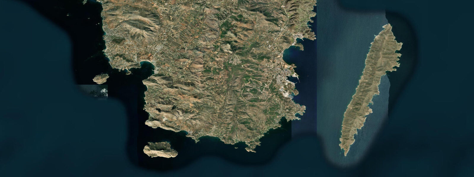
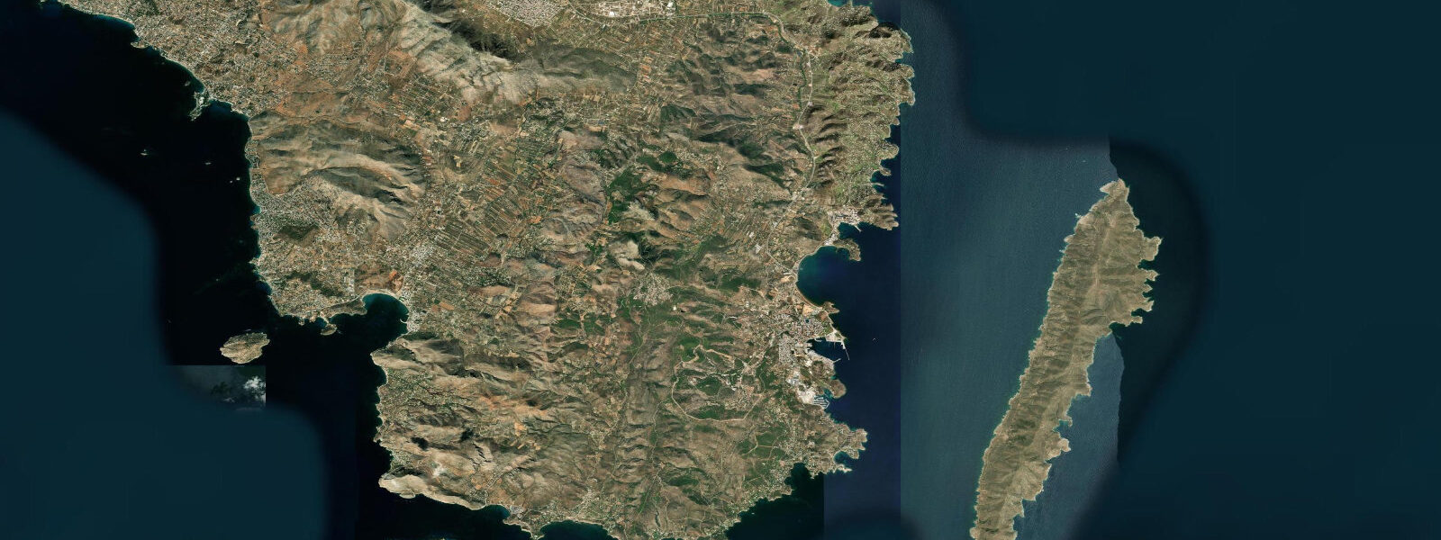
Cape Sounion is at the southernmost tip of Attica, 70 kilometres from Athens, where a 4th-century BC Temple of Poseidon stands on a 60-metre cliff above the junction of the Saronic Gulf and the Myrtoan Sea. The cape has been a sea navigation landmark since antiquity — the white marble temple visible from ships crossing between the Aegean islands and the Piraeus was a practical seamark as much as a religious site. Tidal range in the Aegean is negligible: 0.1 to 0.3 metres. Water level changes at Cape Sounion are driven by wind (the Meltemi from the north in summer) and atmospheric pressure, not by tide.
The cape's location at the confluence of two seas gives it exposure to both the Saronic Gulf's relatively sheltered waters to the west and the open Aegean to the east. In the Meltemi season (July through September), the north wind funnels over the cape and creates whitecap conditions on the eastern side while the western coves remain calmer. The beach at the base of the cliff on the west side (Sounion Beach) is a sand and pebble beach sheltered enough for swimming even in moderate Meltemi.
Snorkelling at Sounion is in crystal-clear Aegean water — visibility 15 to 25 metres in settled conditions. The rocky reef base of the cape headland has sea urchins, grouper, sea bream, and octopus. Reaching the reefs requires either a short boat ride from the beach or swimming 100 to 200 metres offshore from the beach entry points. The cape is not a dive centre; access is by private boat or by swimming from the beach.
Day trips from Athens to Sounion are extremely common — the coastal road from Glyfada through the Attic Riviera to Sounion (70 km) passes a continuous chain of seaside cafes, hotels, and beaches used by Athenians as their weekend coast. The KTEL bus from central Athens runs to Sounion in about 2 hours; services are frequent in summer.
The sunset view of the temple columns against the darkening Aegean is the photograph most associated with the cape — Byron carved his name on one of the columns during his 1810 visit (and is not forgiven for it by Greek archaeologists). The site is fenced; entrance fee applies to the temple precinct.
Predictions on this page come from Open-Meteo Marine, a gridded global ocean model. Accuracy is typically within plus or minus 45 minutes on timing and 0.2 to 0.3 metres on height — model-derived, not from a local gauge. For Greek coastal conditions, consult the Hellenic National Meteorological Service at emy.gr.
Tide questions about Cape Sounion
Quick answers to the most common questions about tide times, range, and water access at Cape Sounion.
What is the tidal range at Cape Sounion?
The Aegean Sea has negligible astronomical tides — 0.1 to 0.3 metres. Water levels at Sounion are primarily wind-driven. The Meltemi (north wind, July through September) is the dominant weather event, creating rough conditions on the exposed east side of the cape while the west side coves remain calmer. Planning activities by wind forecast is more relevant than checking tidal tables.
Can I swim or snorkel at Cape Sounion?
Yes — Sounion Beach at the base of the cliff on the west side of the cape is a sheltered pebble and sand beach suitable for swimming and snorkelling. The rocky reef below the temple headland has clear water (15 to 25 m visibility in settled conditions) with sea urchins, grouper, and octopus. Water temperature peaks at 24 to 26°C in August. The beach has a seasonal café and sunbed rental. Avoid the exposed east side in the Meltemi — the sea conditions can be rough.
Who carved his name on the Sounion temple columns?
Lord Byron carved his name on one of the inner columns of the Temple of Poseidon during his 1810 visit to Greece. The graffiti is visible but protected behind rope barriers — the site's archaeologists are unamused by what has become a 'tourist attraction within a tourist attraction'. Byron's poem 'The Isles of Greece' (from Don Juan) was partly composed during this period of his first Greek journey.
How do I get to Cape Sounion from Athens?
KTEL bus from Athens central bus station (Pedion tou Areos, behind the National Archaeological Museum) to Sounion runs every hour or two in summer — about 2 hours, approximately €7 each way. By car or rental motorbike: 70 km via the coastal road through Glyfada and Varkiza (1.5 hours). The coastal road (the Attic Riviera road) is much more scenic than the inland route. Many guided day tours from Athens also include Sounion.
When is the best time to visit Cape Sounion?
May through June and September through October offer the best combination of warm water, manageable crowds, and usable wind conditions. July and August are peak Meltemi months — the north wind can be relentless on the east coast of Attica, and the exposed east side of Sounion can be very rough. The sunset at the temple is best in late summer (September) when the sun angle aligns better with the western Saronic Gulf view than in midsummer.
4-day tide table — Cape Sounion
Heights relative to MSL. Predictions: Open-Meteo Marine (MeteoFrance SMOC, 0.08° grid) — heights relative to MSL (not chart datum / LAT). Model-derived.
| Day | Type | Time | Height |
|---|---|---|---|
| Fri 19 Jun | — | ||
| Sat 20 Jun | Low | 02:00 | -0.6m |
| Sun 21 Jun | — | ||
| Mon 22 Jun | High | 21:00 | -0.5m |