Axim tide times
Axim tide forecast — heights relative to MSL.
Today's tide times for Axim
Tide times at Axim on Saturday, 27 June 2026: first low tide at 12:00am, first high tide at 02:21am, second low tide at 07:45am, second high tide at 01:54pm. Sunrise 05:59am, sunset 06:24pm.
Tide chart for Axim
24-hour cosine-interpolated curve around the present moment. Heights relative to MSL. Predictions: Predictions: Open-Meteo Marine (MeteoFrance SMOC, 0.08° grid).
Sun, moon and conditions on Sat 27 Jun
Snapshot at build time — refreshes daily. Sea state from Open-Meteo Marine.
Highs and lows next 7 days
Every predicted high and low for the next week, with the daily tidal coefficient (0–120; higher = bigger swing, > 95 means stronger currents).
Other spots nearby
The three closest curated TideTurtle locations to Axim, measured by great-circle distance.
Today's solunar windows
Solunar tradition: major periods are the ≈3h windows around moon transit and opposition; minor are ≈2h around moonrise and moonset. Pair with the local tide stage and wind for the best read.
Cycle dates near Axim
Next spring tide on Wed 01 Jul (range 1.1m). Last neap on Sat 27 Jun. Next neap on Fri 03 Jul.
Spring tides cluster around new and full moons (biggest swings). Neap tides land on quarter moons (smallest swings). See the spring tide and neap tide glossary entries for the why.
About tides at Axim
A short guide to the coastline at Axim — geography, sea state, and what the tide is actually doing under your feet.
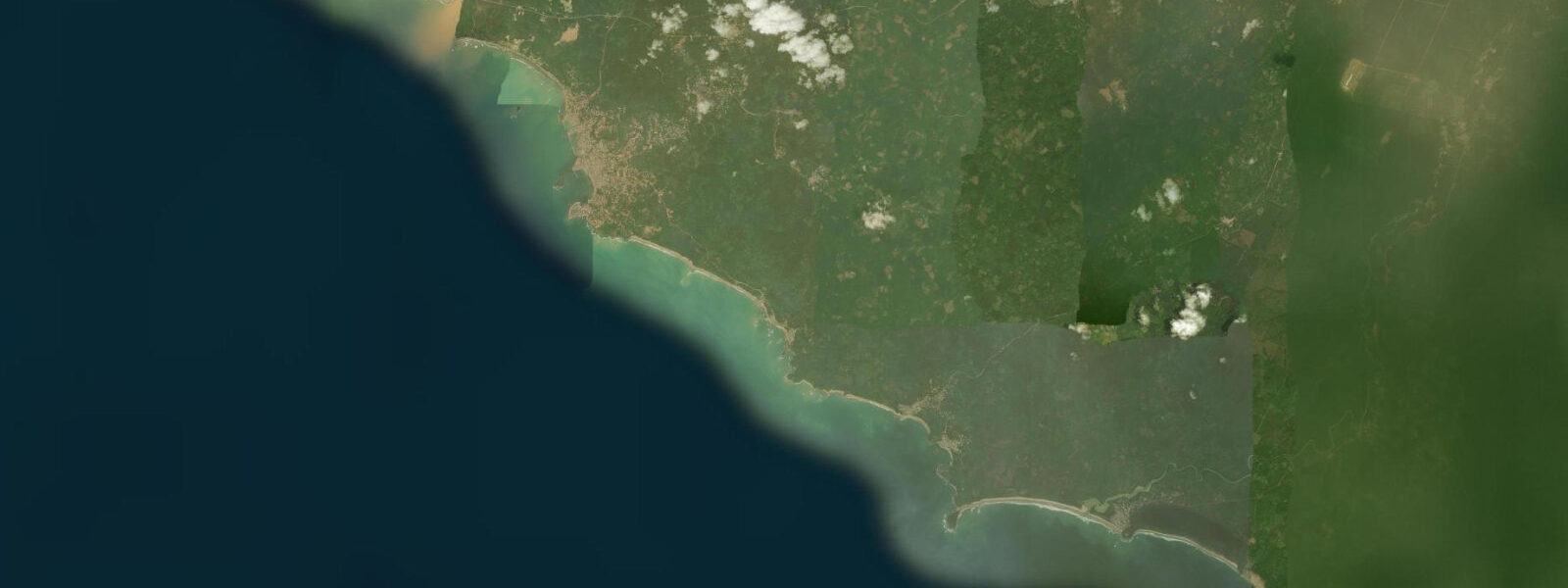
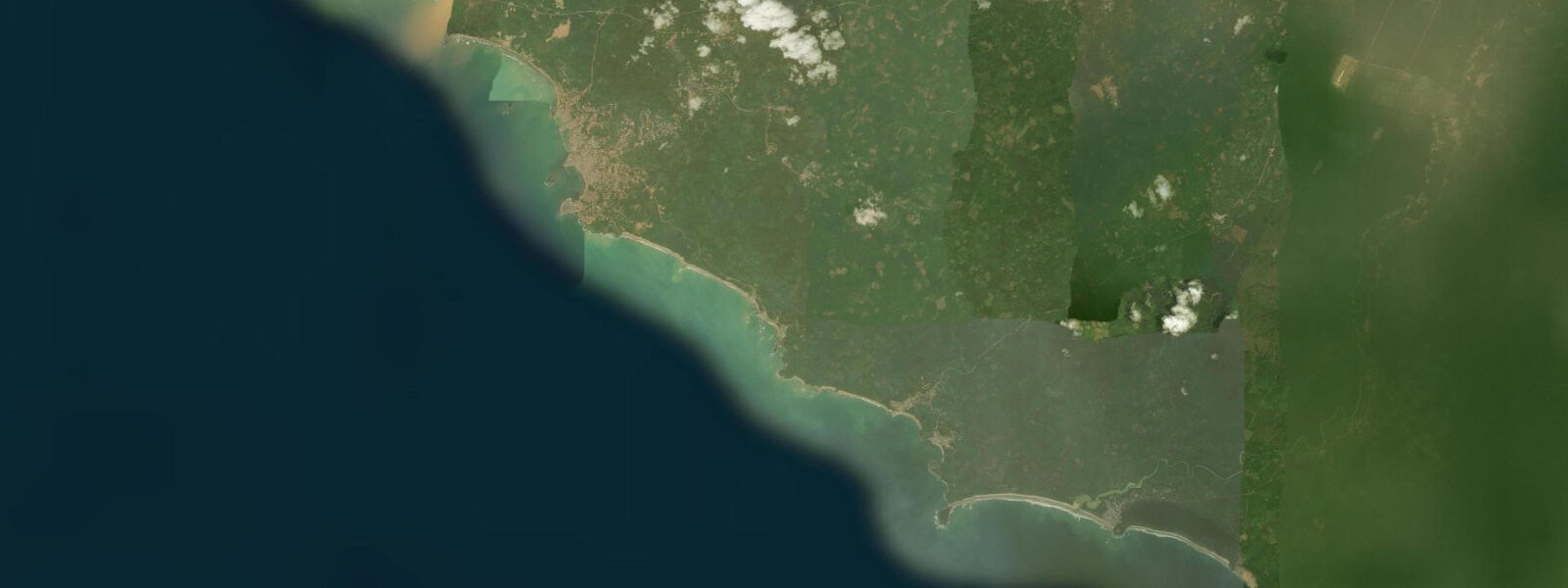
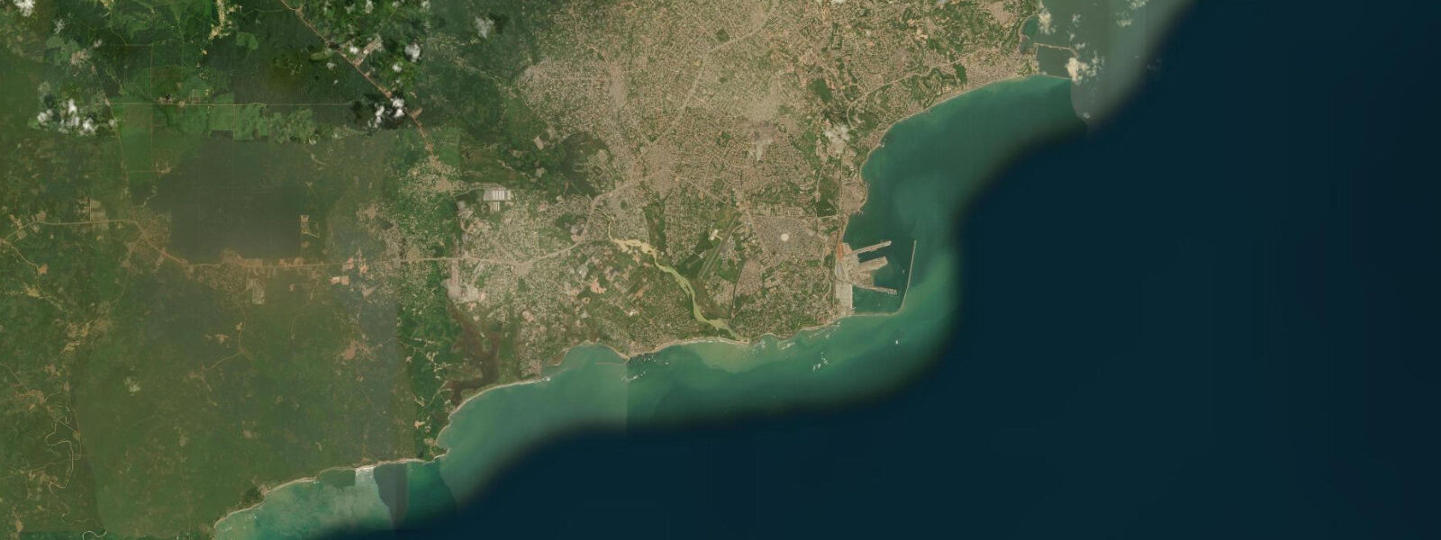
Axim sits at the southwestern tip of Ghana, 85 km west of Takoradi and 30 km from the Ivory Coast border, on a headland where the gold-rich Ankobra River reaches the Gulf of Guinea. The town is the least developed of Ghana's historical coastal settlements, a working fishing port with a small but vocal surf community, an intact Portuguese-Dutch fort on the hill above the harbour, and beaches that face the south Atlantic swell without the tourist infrastructure that has softened the character of Cape Coast and Elmina.
The tidal regime at Axim is mixed semidiurnal with a spring range of approximately 1.1 m, consistent with the Gulf of Guinea coastal pattern west of Accra. The Ankobra River mouth, immediately east of the main headland, creates a significant tidal mixing zone: on the flooding tide, Atlantic water pushes 3–5 km up the Ankobra River, creating a brackish mixing layer over fresh river water. The salinity front moves upstream on the flood and back toward the river mouth on the ebb; local canoe fishermen time their operations in the river mouth zone relative to this front, as different species concentrate in the fresh versus brackish layers. On spring tides with a 1.0–1.1 m range, the tidal excursion up the Ankobra is significantly larger than on neaps with a 0.4 m range.
Fort St. Antonio was built by the Portuguese in 1515, one of the oldest European structures in Ghana. The fort changed hands between the Portuguese and the Dutch multiple times in the 17th century and remains largely intact on the hilltop above the harbour. Views from the battlements take in the harbour, the river mouth east, and the open Atlantic south. At low tide the rock shelf below the seaward wall partially exposes. Fort St. Antonio was a gold-trade fort — unlike Cape Coast Castle and Elmina to the east, its history is not entangled with the slave trade.
For surfers, the western Ghana coast around Axim is the most consistent surf region in the country. The beaches west of town face south-southwest into the South Atlantic swell window, receiving long-period groundswell from southern hemisphere winter storms — primarily June through August. Wave height runs 0.8–1.5 m, modest by West African standards, but the beach profiles produce clean peeling breaks at mid-tide. At low water the sand bars dry and waves close out; at high water the face flattens. The 2-hour window either side of mid-tide is the productive surfing window.
The Ankobra River is navigable by small boat for 30 km upstream from the mouth, through secondary forest and agricultural land that retains riverine wildlife including cane rats, monitor lizards, and a range of waterbirds. Kayaks can be hired in Axim town; the upstream paddle is made with the flooding tide, returning on the ebb — the 3–5 km of tidal influence makes the lower section of the river noticeably easier to paddle in the correct tidal direction. Above the tidal reach, the river current is consistently downstream.
Anglers working the Axim area have access to three environments: the rocky headland shores targeting barracuda and trevally on the ebb; the Ankobra River mouth zone for tarpon, which move into the estuary on the flooding tide; and the offshore reefs and wrecks accessible by charter boat from the small harbour. Tarpon fishing in the Ankobra is largely unknown outside local knowledge — the fish enter the river mouth on high flood tides and hold in the brackish mixing zone. The fishing window is the 2–3 hours around spring high water when the tidal push is deepest into the estuary.
Axim's remoteness relative to Accra and Cape Coast (4–5 hours by road) means that the town has remained largely off the main Ghana tourist circuit. There are a small number of eco-lodges on the beaches west of town; the most established is Axim Beach Hotel, located on a beach with direct surf access 2 km from the fort. For travellers seeking Ghana's coast without the cruise-ship context of Cape Coast or the resort development of Labadi, Axim delivers a coastal character that is closer to mid-20th century than the 21st.
All tide predictions for Axim come from the Open-Meteo Marine gridded model. Timing accuracy is ±45 minutes; height accuracy is ±0.3 m above Chart Datum.
Tide questions about Axim
Quick answers to the most common questions about tide times, range, and water access at Axim.
What surf conditions exist at Axim and when is the surf season?
Axim has the most consistent surf in Ghana, with beaches facing south-southwest into the South Atlantic swell window. The primary surf season is June through August, when southern hemisphere winter storms generate long-period groundswell that arrives at 0.8–1.5 m. The optimal surfing tide is mid-tide (2 hours either side of mid-tide): at low water the sand bars dry and waves close out; at high water the wave face flattens. The beach breaks west of Axim produce cleaner, more peeling waves than the reef-influenced sections near the headland. There is no organised surf school in Axim; bring your own equipment.
What is Fort St. Antonio and is it accessible?
Fort St. Antonio was built by the Portuguese in 1515 as a gold-trade fort — one of the earliest European structures in sub-Saharan Africa. The fort occupies the hilltop above Axim harbour, with views over the harbour, the Ankobra River mouth, and the open Atlantic. It is maintained and visitable; a caretaker manages the site and entrance fees are nominal. At spring low water, the rock shelf below the fort's seaward face partially exposes. The fort's history is primarily gold trade rather than the slave-trade context that defines Cape Coast Castle and Elmina, making it a complementary rather than duplicative visit.
Can I kayak the Ankobra River from Axim?
The Ankobra River is navigable by kayak from the river mouth upstream for approximately 30 km. The lower 3–5 km are tidally influenced; paddling upstream on the flooding tide and returning on the ebb is the practical approach for the lower section. Above the tidal reach, the river current runs consistently downstream. The river passes through secondary forest and agricultural land with monitor lizards, waterbirds, and cane rats. Kayak hire is available in Axim; guided river trips can be arranged through the Axim Beach Hotel. Half-day trips cover the lower tidal section; full-day trips reach the undisturbed upper river.
Is there tarpon fishing in the Ankobra River estuary?
Tarpon (Megalops atlanticus) enter the Ankobra River mouth on flooding tides, holding in the brackish mixing zone where saltwater meets fresh river water. The productive fishing window is the 2–3 hours around spring high water, when the tidal push carries the fish deepest into the estuary. This is not well-documented in published fishing guides — it is primarily local knowledge. Light spinning tackle with live bait works; tarpon in the 10–30 kg range are present. The optimal access point is the sandy bar at the river mouth, reached by a 20-minute walk from the Axim harbour or by short boat transfer.
How do I get to Axim from Accra or Cape Coast?
Axim is 350 km from Accra by road — approximately 4–5 hours depending on traffic through Takoradi. From Cape Coast, the distance is 250 km (3–4 hours). Shared taxis and buses run via Takoradi (the major western Ghana transport hub); a direct shared taxi from Takoradi to Axim takes 1.5–2 hours. Private hire from Accra is the most flexible option. There is no rail or air service. Axim is a genuine end-of-the-road destination: the sealed road ends here, and the coast south of Axim toward the Ivory Coast border is accessible only by boat or 4WD track.
7-day tide table — Axim
Heights relative to MSL. Predictions: Open-Meteo Marine (MeteoFrance SMOC, 0.08° grid) — heights relative to MSL (not chart datum / LAT). Model-derived.
| Day | Type | Time | Height |
|---|---|---|---|
| Sat 27 Jun | Low | 00:00 | -0.0m |
| High | 02:21 | 0.2m | |
| Low | 07:45 | -0.3m | |
| High | 13:54 | 0.3m | |
| Sun 28 Jun | Low | 21:05 | -0.6m |
| Mon 29 Jun | High | 15:08 | 0.4m |
| Low | 21:35 | -0.6m | |
| Tue 30 Jun | High | 04:08 | 0.4m |
| Low | 09:42 | -0.3m | |
| High | 15:40 | 0.5m | |
| Low | 22:15 | -0.6m | |
| Wed 01 Jul | High | 04:42 | 0.4m |
| Low | 10:19 | -0.3m | |
| High | 16:12 | 0.4m | |
| Low | 22:47 | -0.7m | |
| Thu 02 Jul | High | 05:24 | 0.4m |
| Low | 11:00 | -0.3m | |
| High | 16:51 | 0.4m | |
| Low | 23:20 | -0.7m | |
| Fri 03 Jul | High | 05:55 | 0.4m |
| Low | 23:00 | -0.6m |